Elevation of Cheshire Rd, Windsor, MA, USA
Location: United States > Massachusetts > Berkshire County > Windsor >
Longitude: -73.063155
Latitude: 42.5402351
Elevation: 593m / 1946feet
Barometric Pressure: 94KPa
Elevation Map:
Satellite Map:
Related Photos:

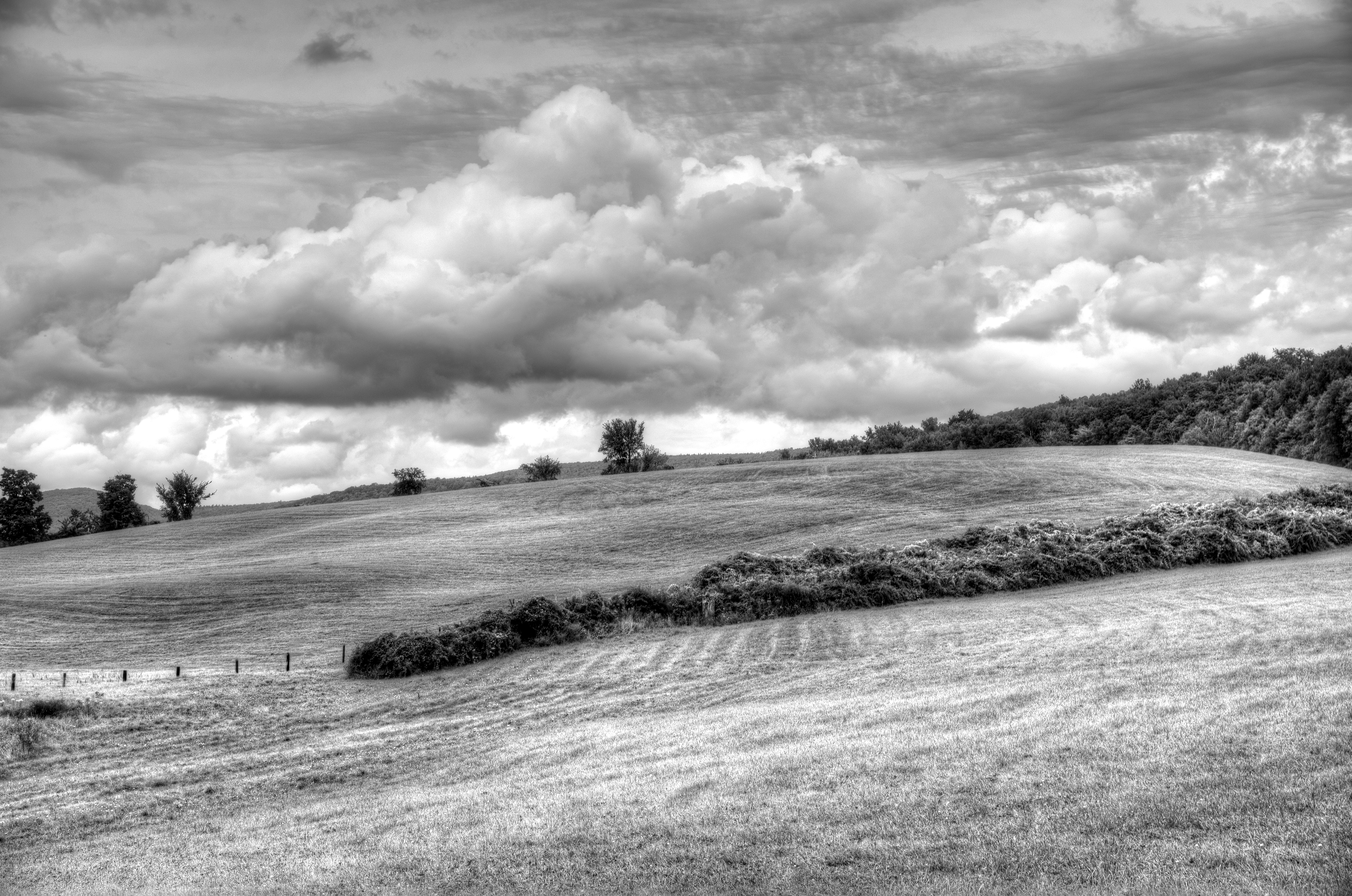
Berkshire Blues

Nature's Lines and Curves

Playing in the Snow

35.7
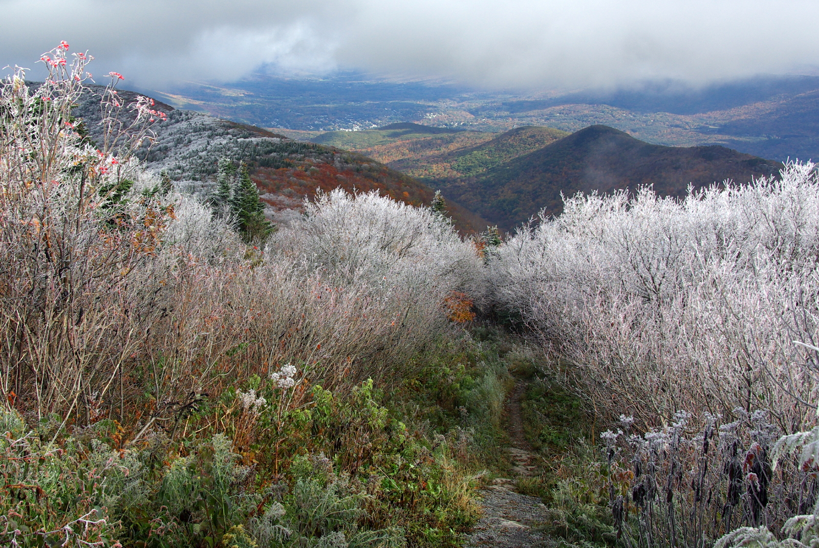
Frosty Start to Autumn Day

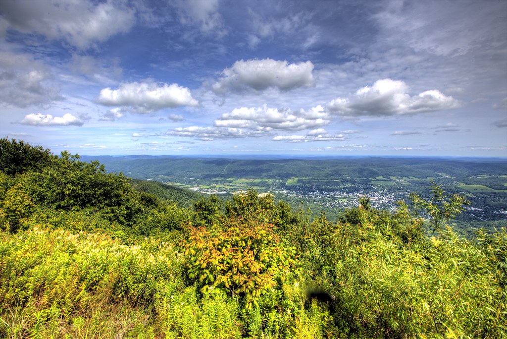
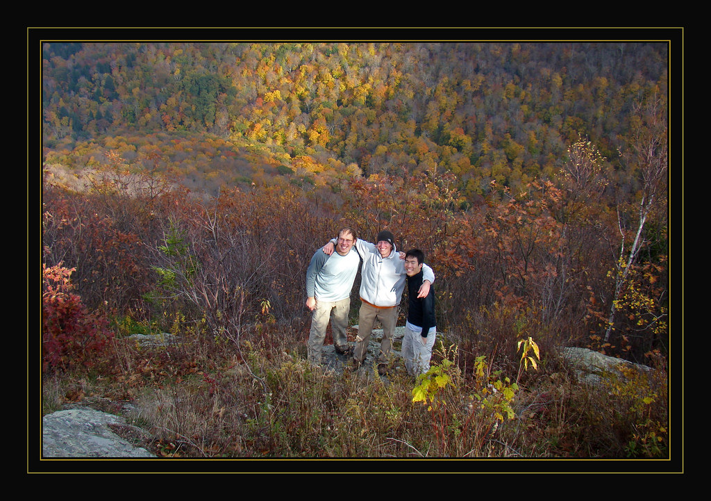
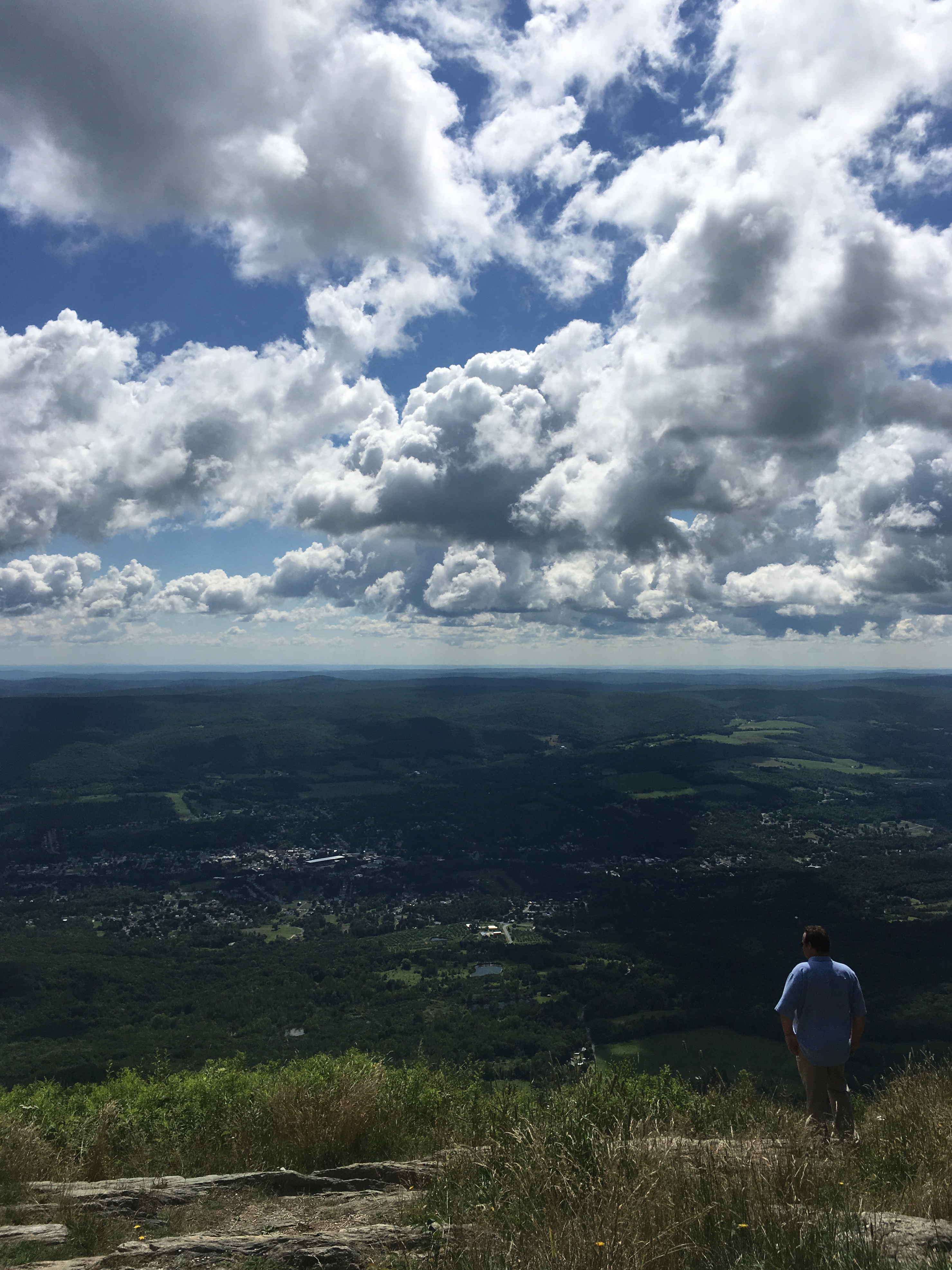
Checking out the view
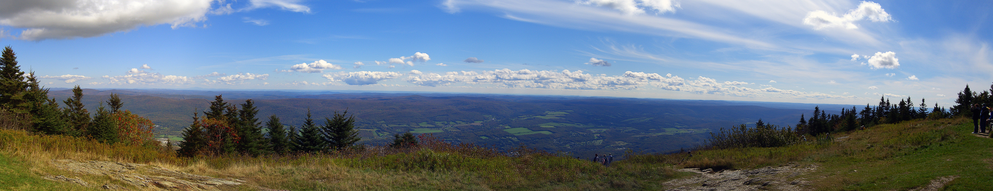
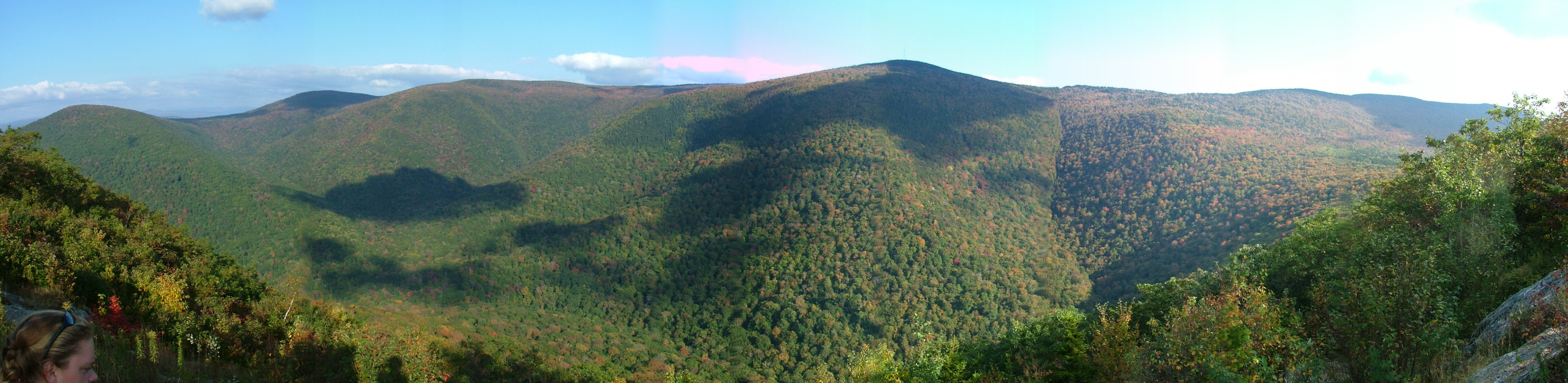
Greylock panorama
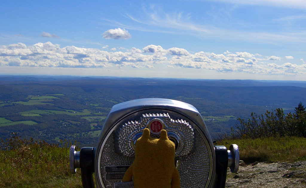
Jeero enjoying the view
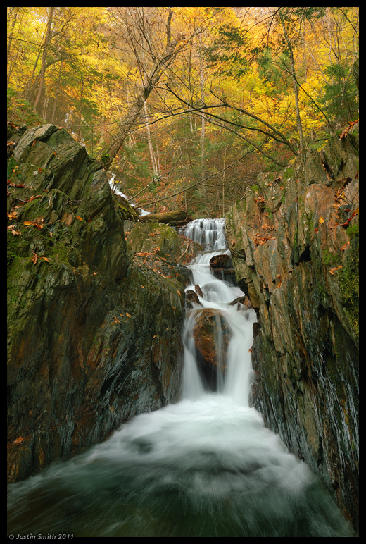
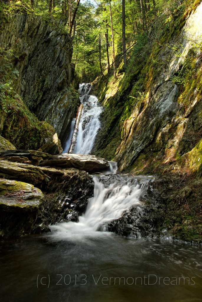
Twin Cascade #4
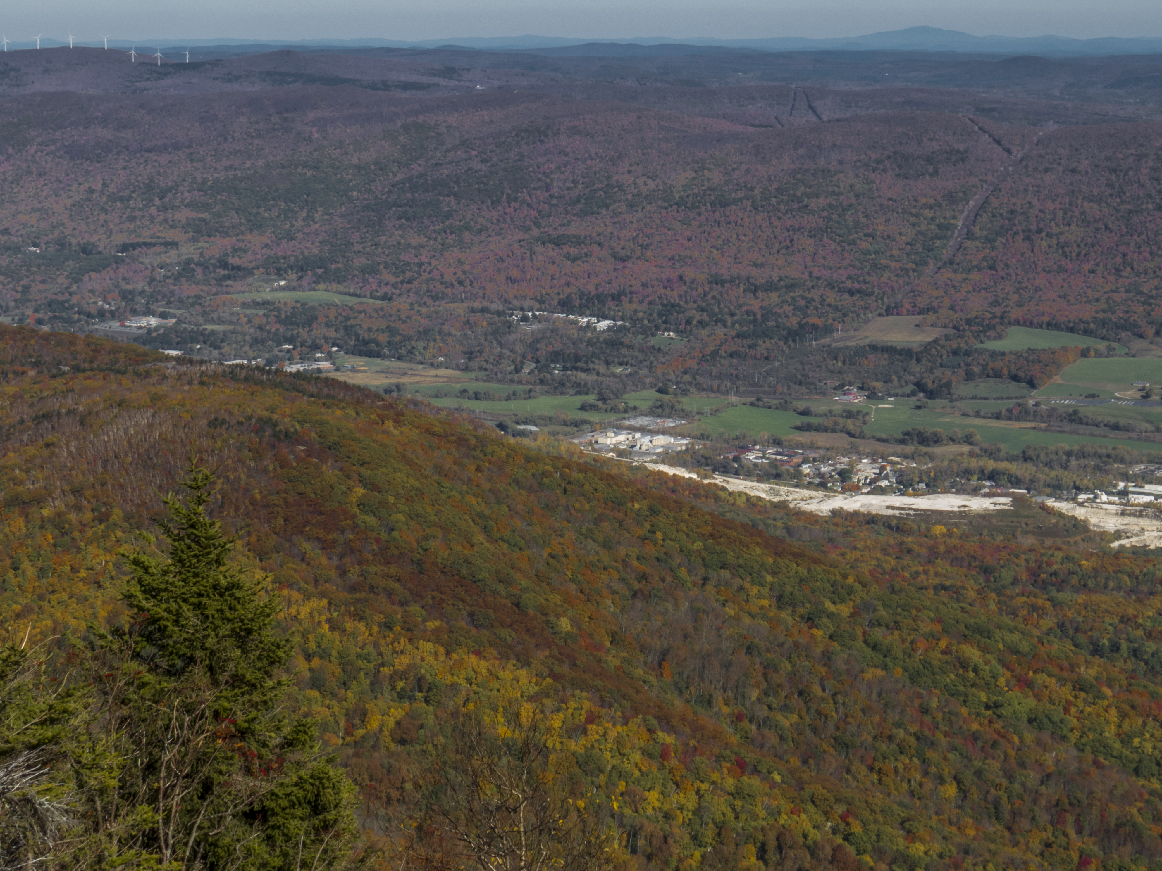
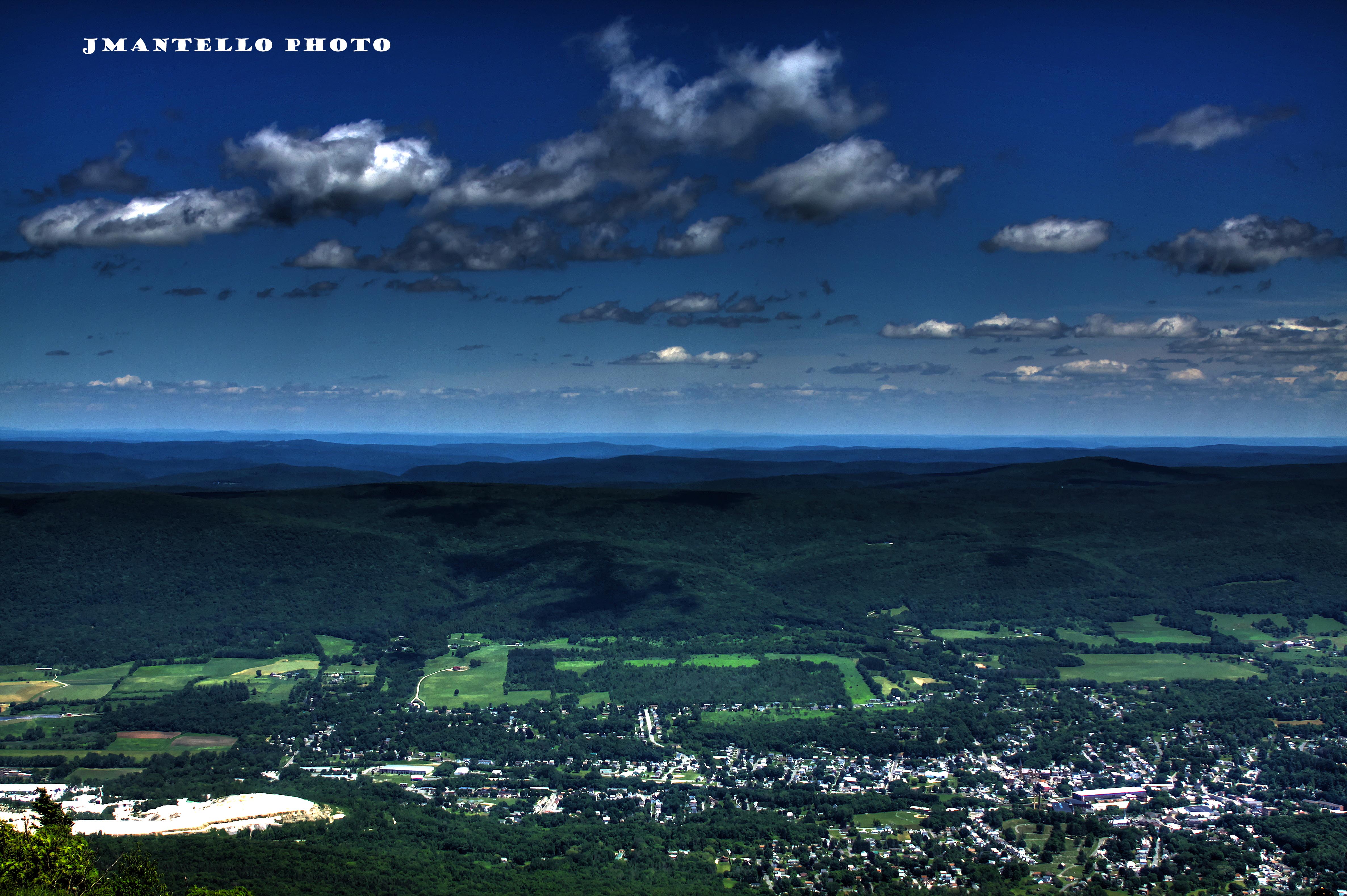
North Adams Views

Chairs with a view of Mt Greylock from Adams, MA
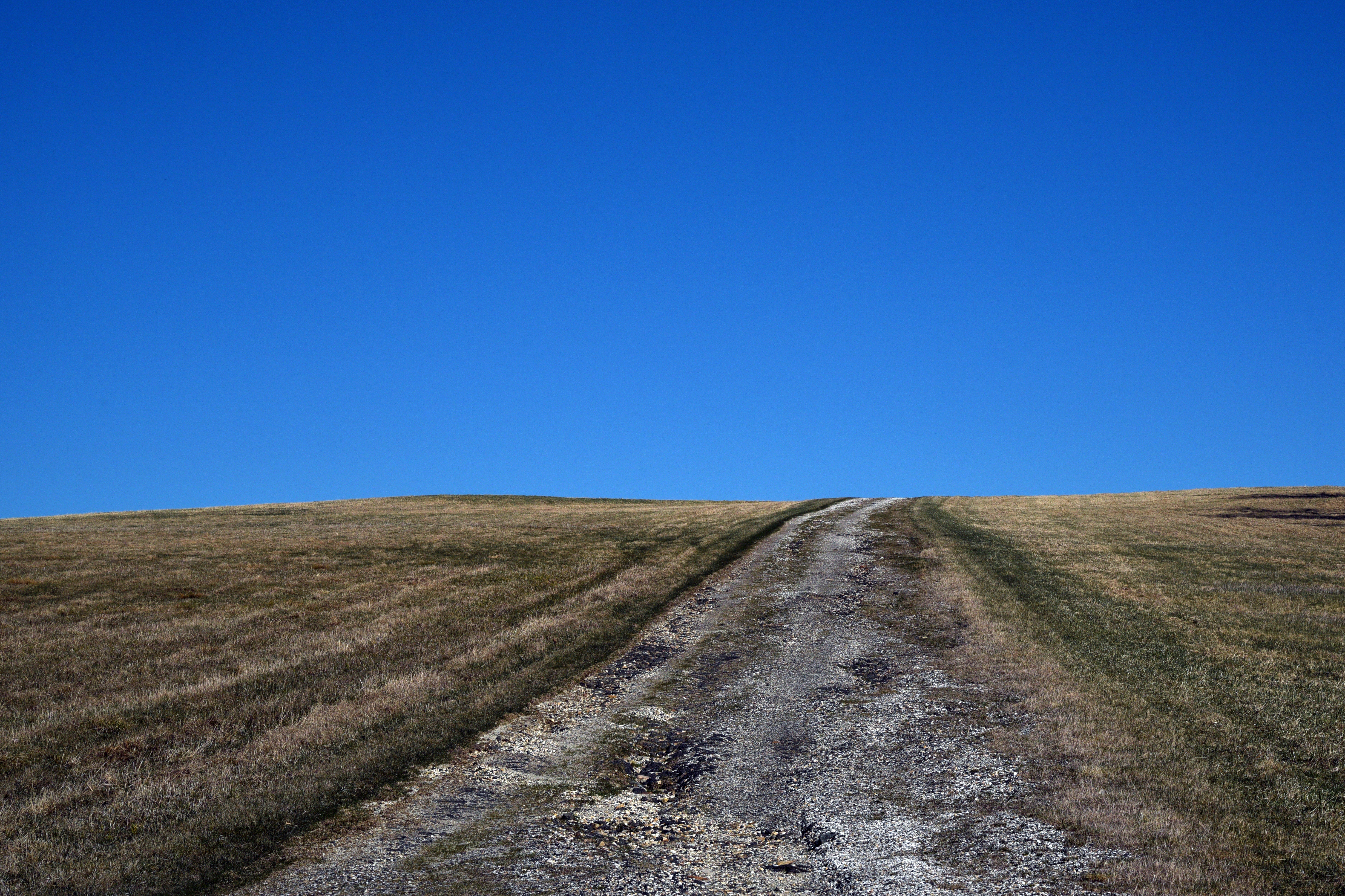
Farm Road
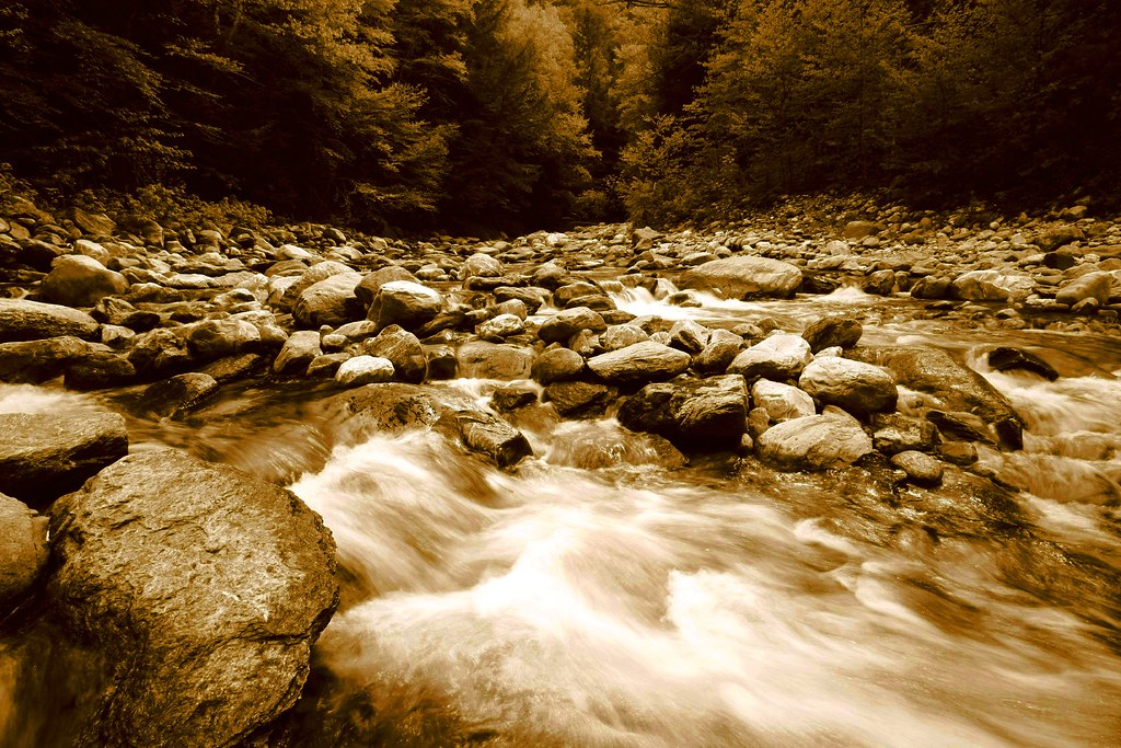
Sepia Saturation

Memorial Tower

Bascom Lodge, Full 360'deg View.
View of the Hopper from Pine Cobble
It's All A Matter Of Perspective
The view east from Greylock's summit
Porch View
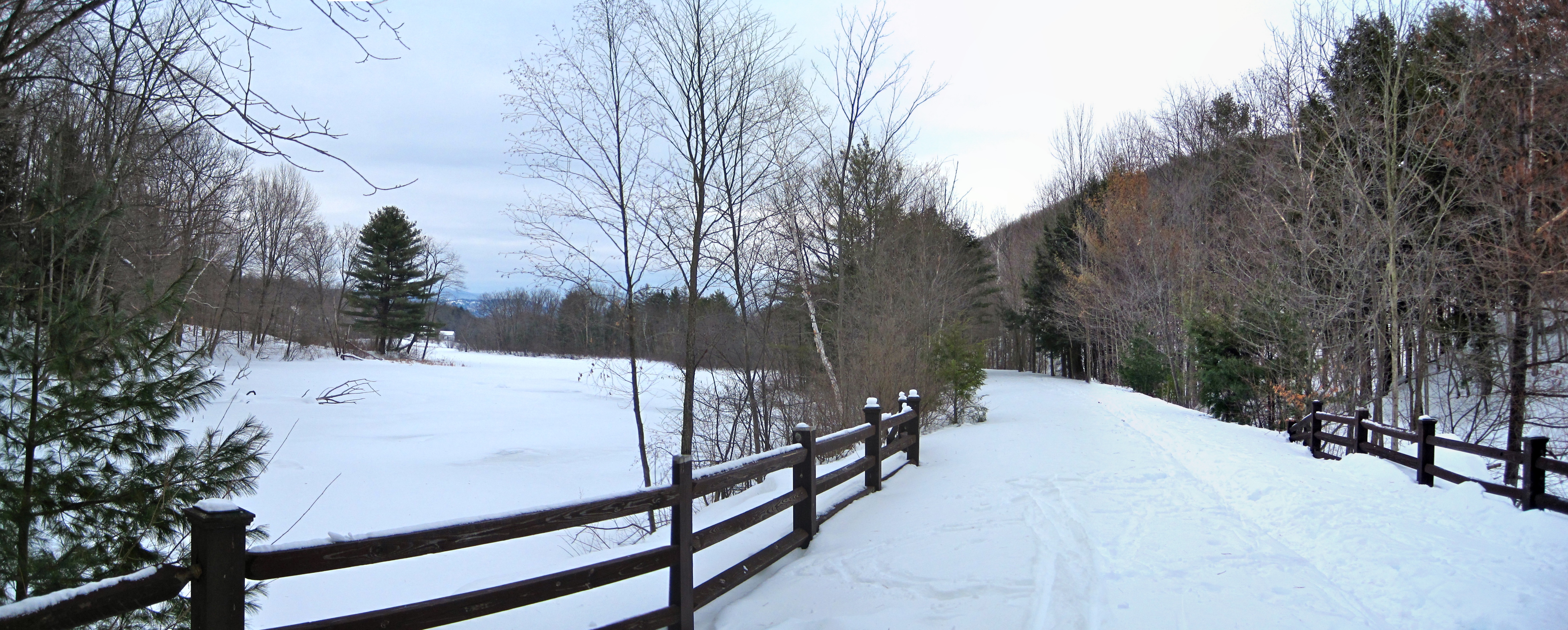
Ashuwillticook Rail Trail crossing Berkshire Pond [panorama]
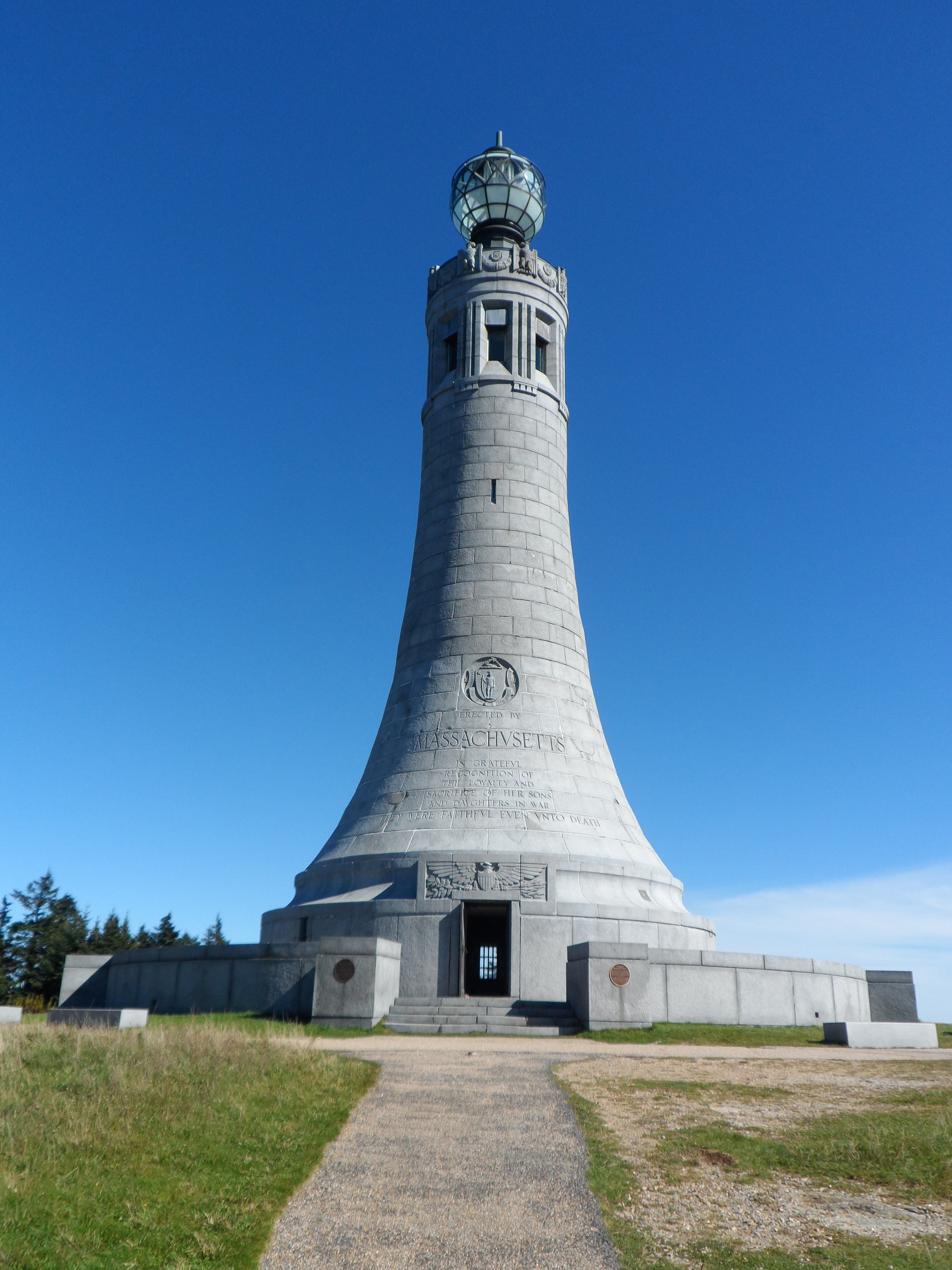
War Memorial
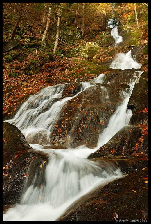
Twin Cascade 1

Climb In

On top of the world
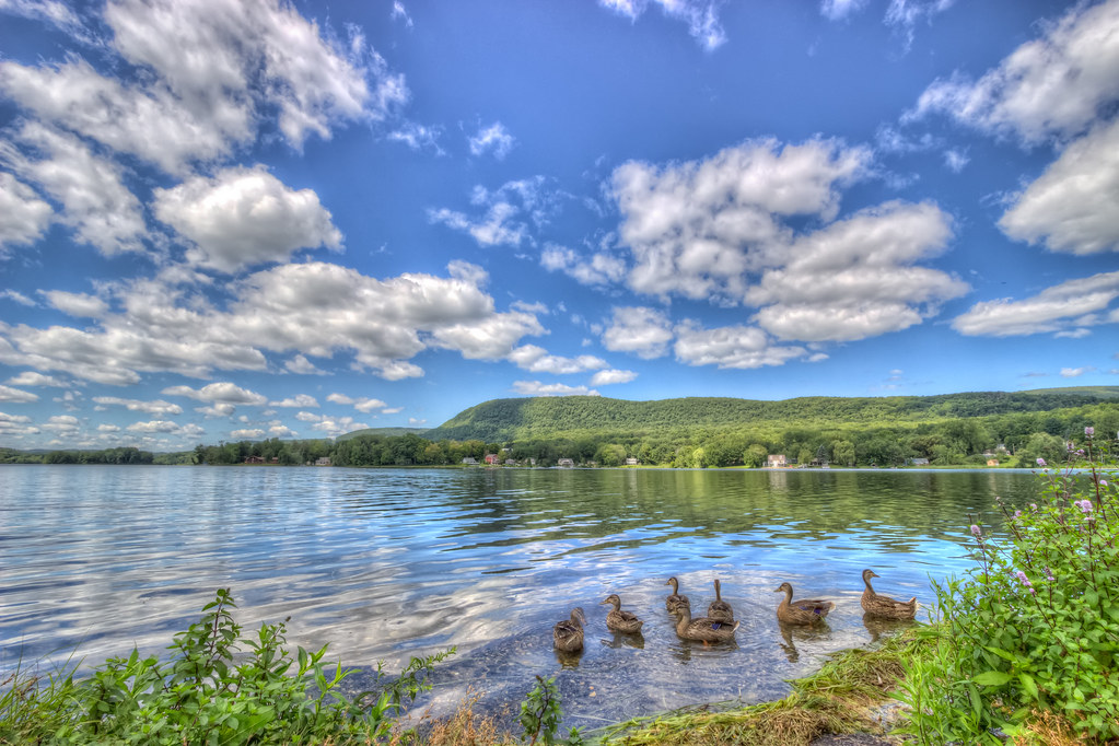
Ducks on the Cheshire Reservoir
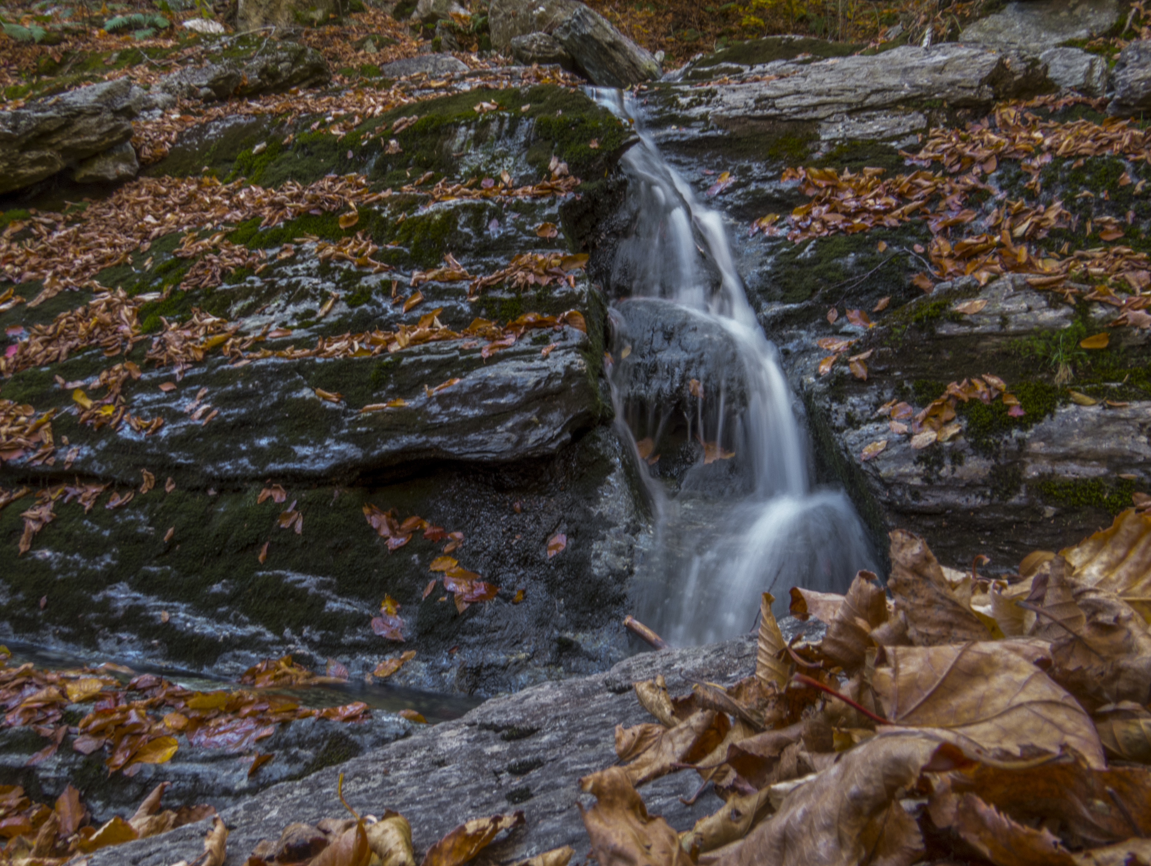
Falls on Peck's Brook at Mount Greylock
A Berkshire Brae No. 1

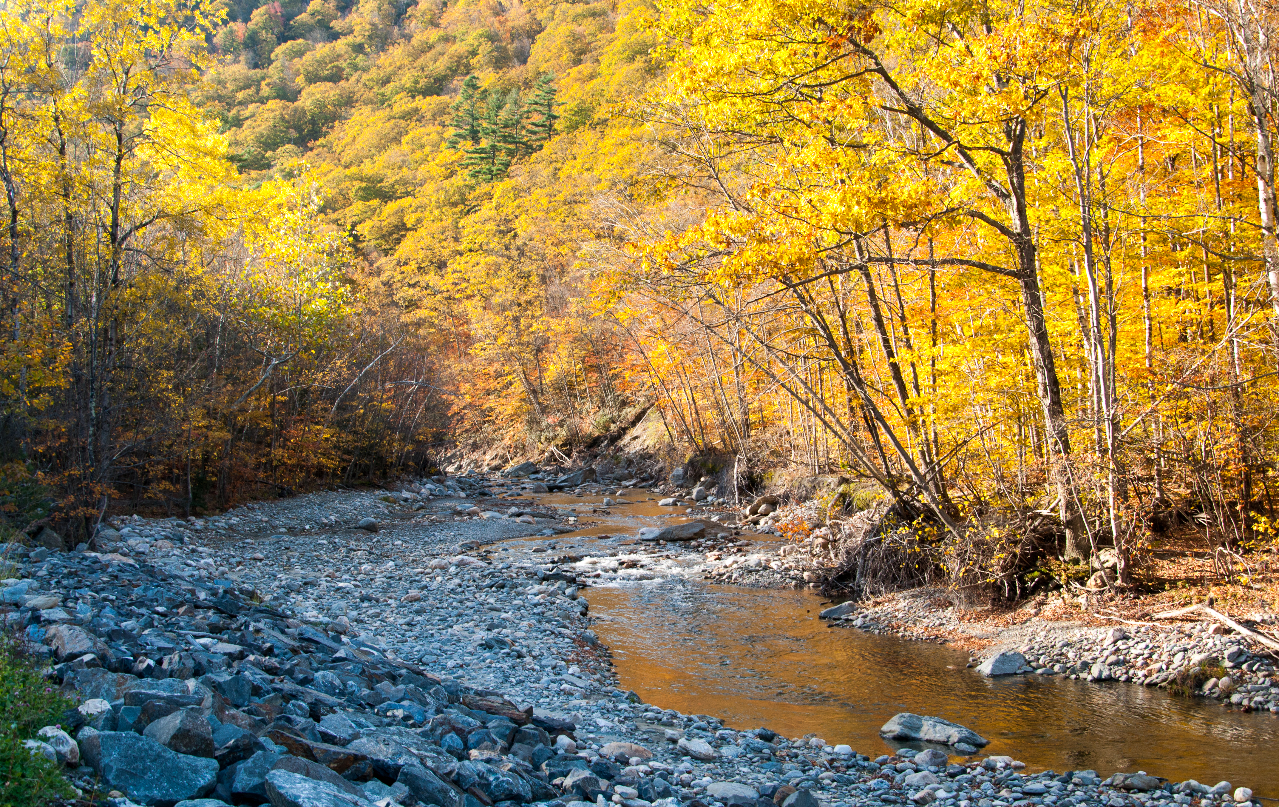
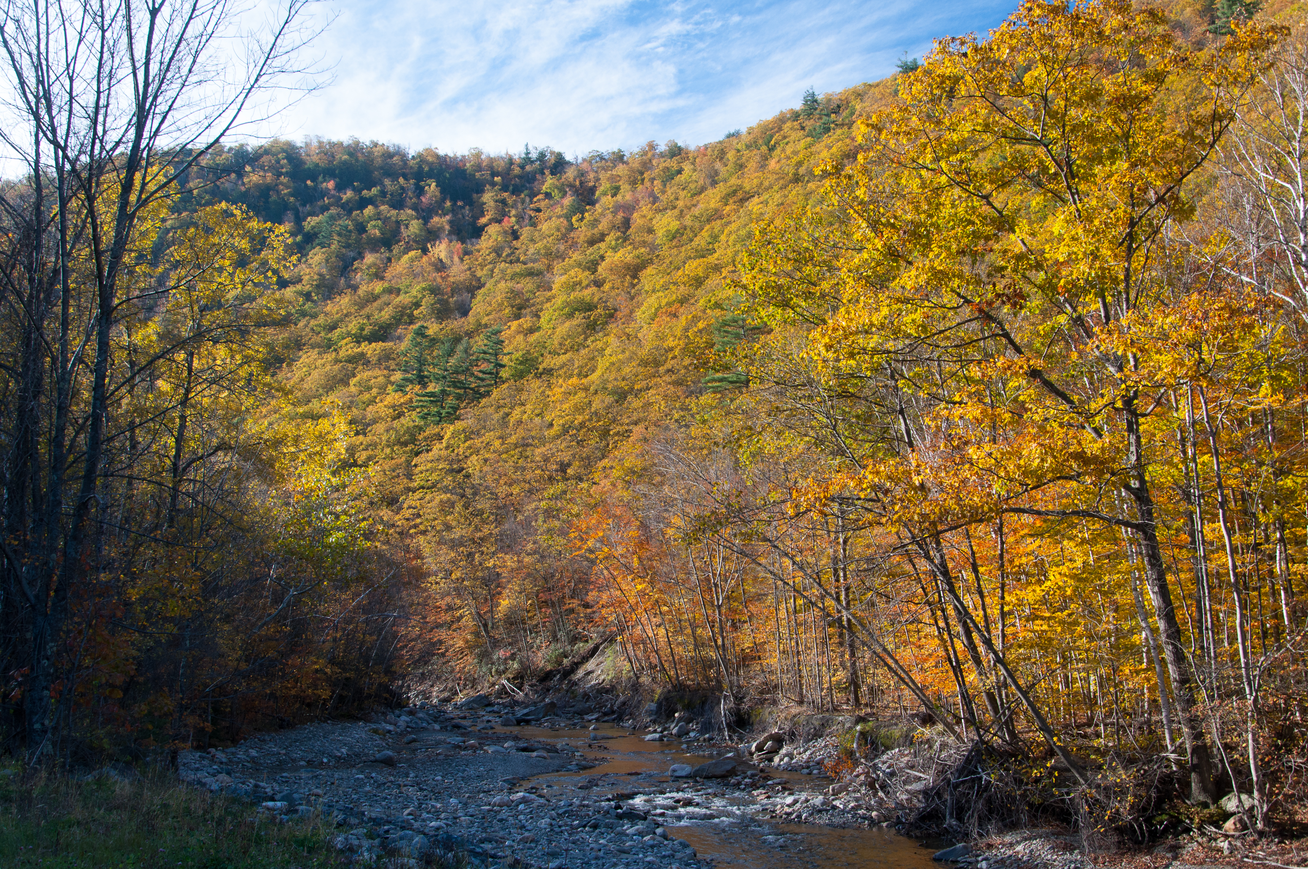
Chickley River
FullSizeRender 2
_DSC9804.jpg

_DSC9808.jpg
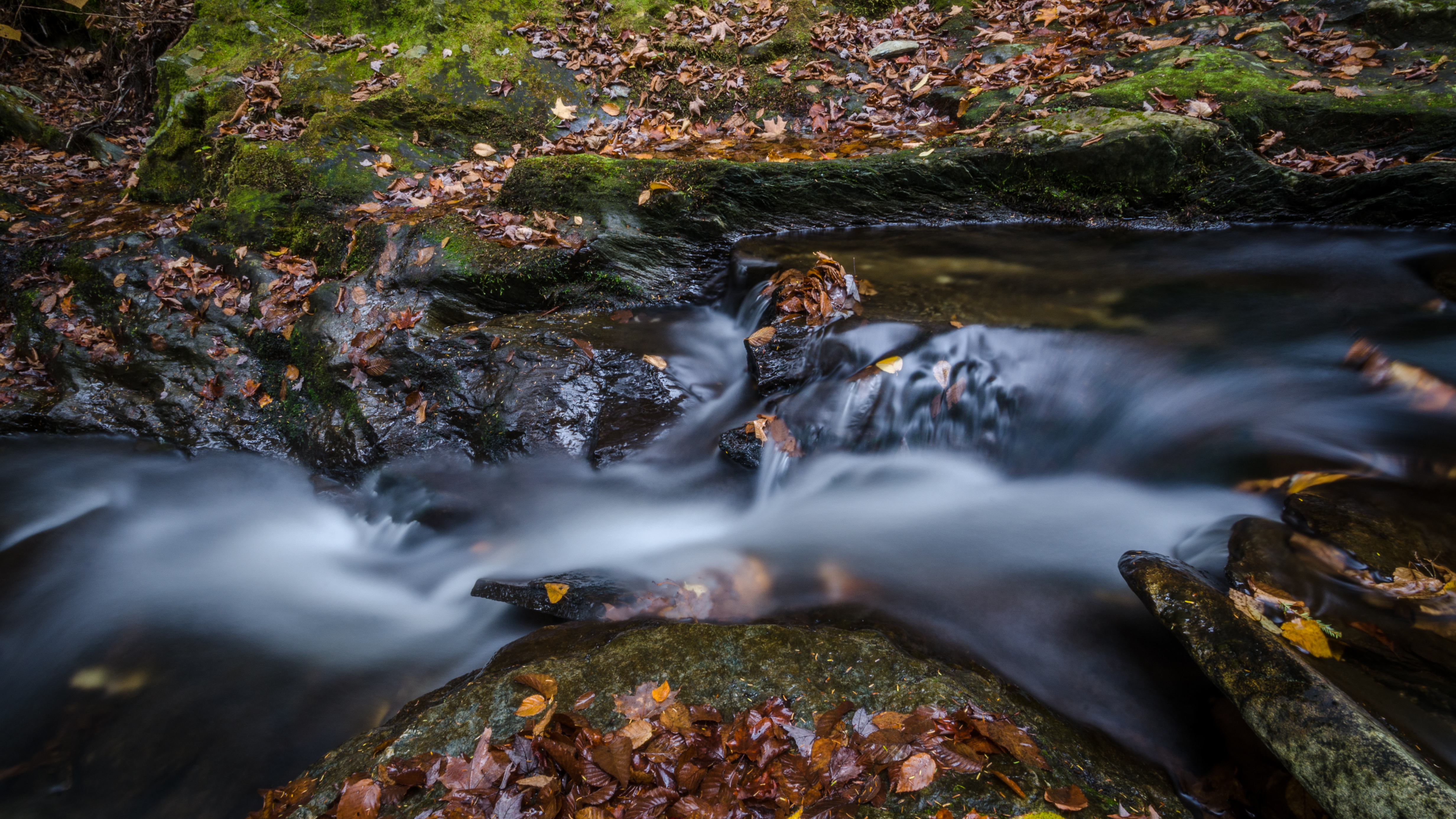
another stream long exposure
_DSC9813.jpg
IMG_7991_2_3_tonemapped_edited-JMP
Route 2, Eastern Summit

Upstream from Parker Brook Falls, MA
Parker Brook Falls - Savoy, Massachusetts
In the Berkshires for the Winter

Mount Greylock
Topographic Map of Cheshire Rd, Windsor, MA, USA
Find elevation by address:

Places near Cheshire Rd, Windsor, MA, USA:
1599 North St
Savoy
45 Main Rd
647 Stafford Hill Rd
389 Loop Rd
Burnett Pond
70 Horton Rd
Access Road 1
64 Orchard St
19 Dubis St
50 Meadow St
10 Orchard St
Adams
8 Park St
Adams
Adams
37 Melrose St
Bog Pond
Plainfield Pond
13 Hughes St
Recent Searches:
- Elevation of Corso Fratelli Cairoli, 35, Macerata MC, Italy
- Elevation of Tallevast Rd, Sarasota, FL, USA
- Elevation of 4th St E, Sonoma, CA, USA
- Elevation of Black Hollow Rd, Pennsdale, PA, USA
- Elevation of Oakland Ave, Williamsport, PA, USA
- Elevation of Pedrógão Grande, Portugal
- Elevation of Klee Dr, Martinsburg, WV, USA
- Elevation of Via Roma, Pieranica CR, Italy
- Elevation of Tavkvetili Mountain, Georgia
- Elevation of Hartfords Bluff Cir, Mt Pleasant, SC, USA