Elevation of Cherub Mountain, Columbia-Shuswap A, BC V0A, Canada
Location: Canada > British Columbia > Columbia-shuswap > Columbia-shuswap A >
Longitude: -117.71972
Latitude: 51.5536111
Elevation: 2910m / 9547feet
Barometric Pressure: 71KPa
Elevation Map:
Satellite Map:
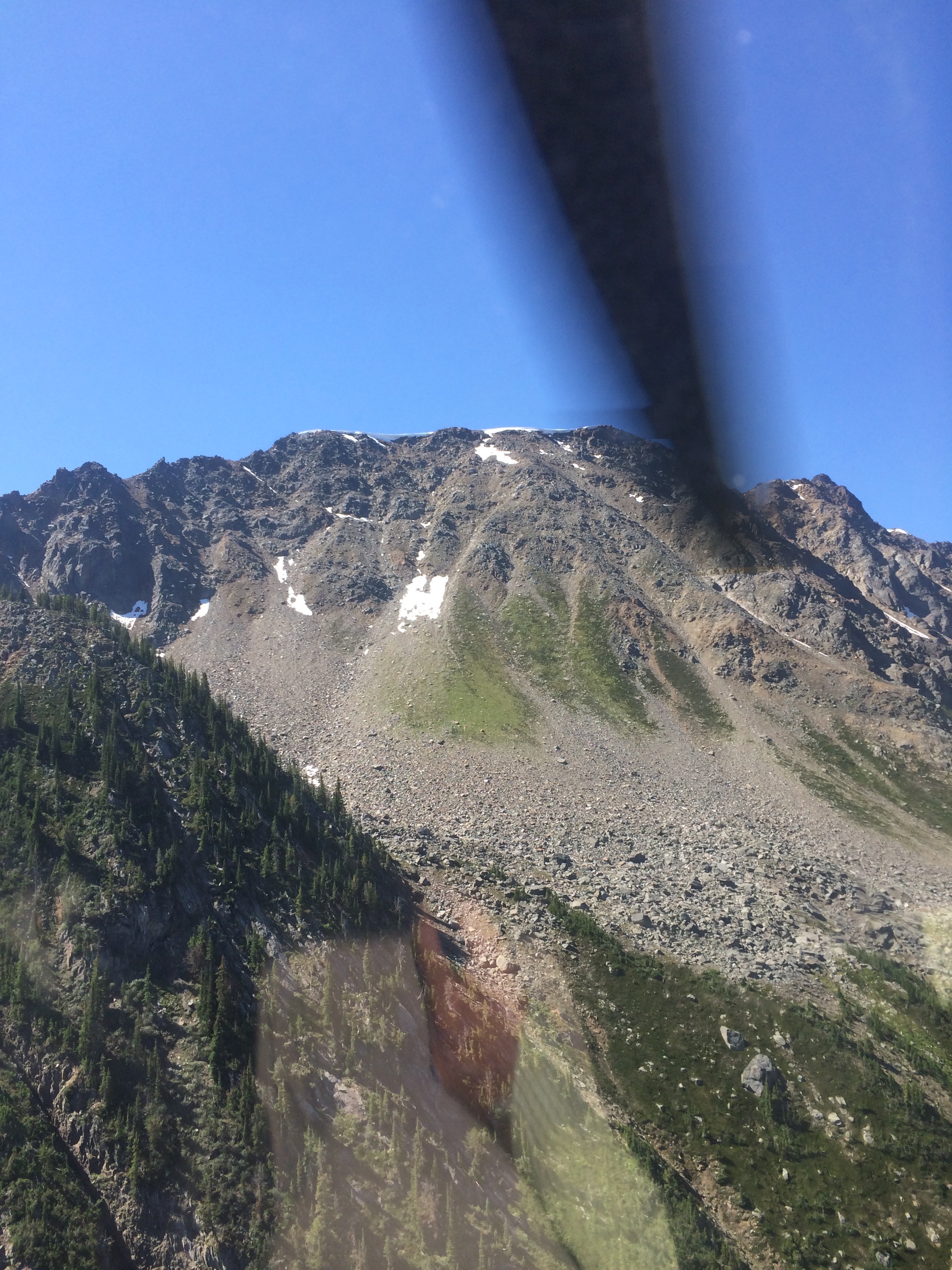
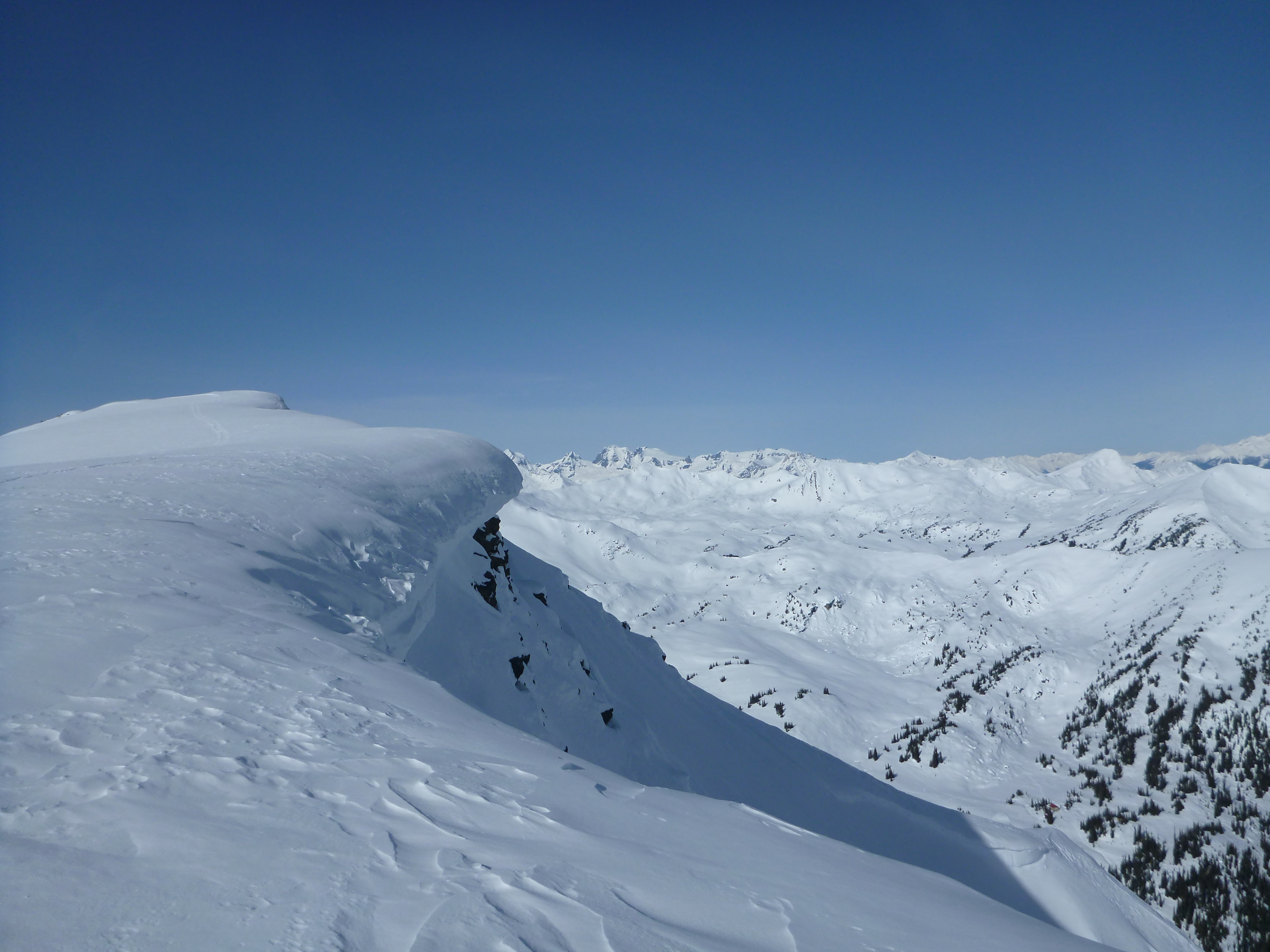
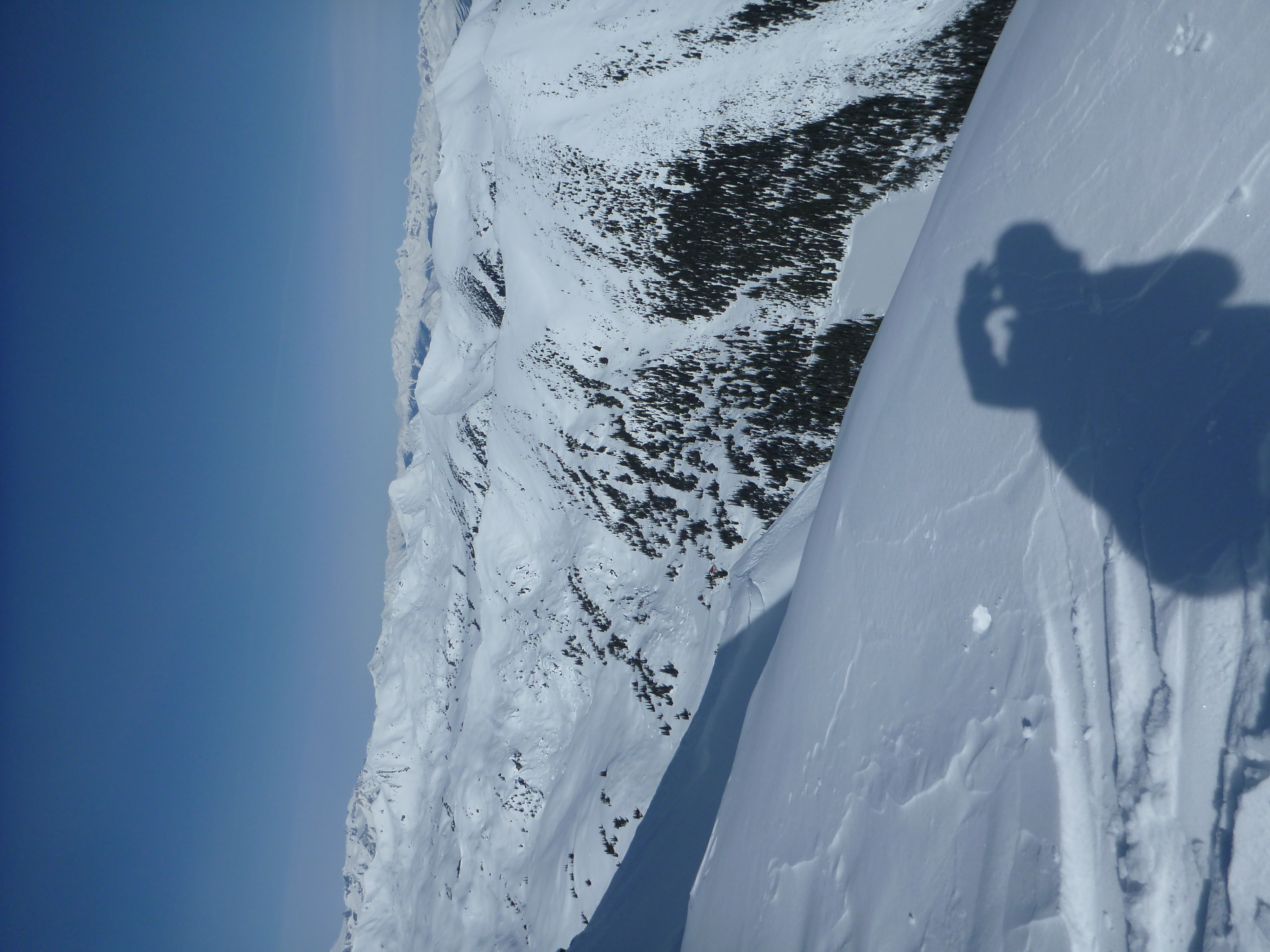
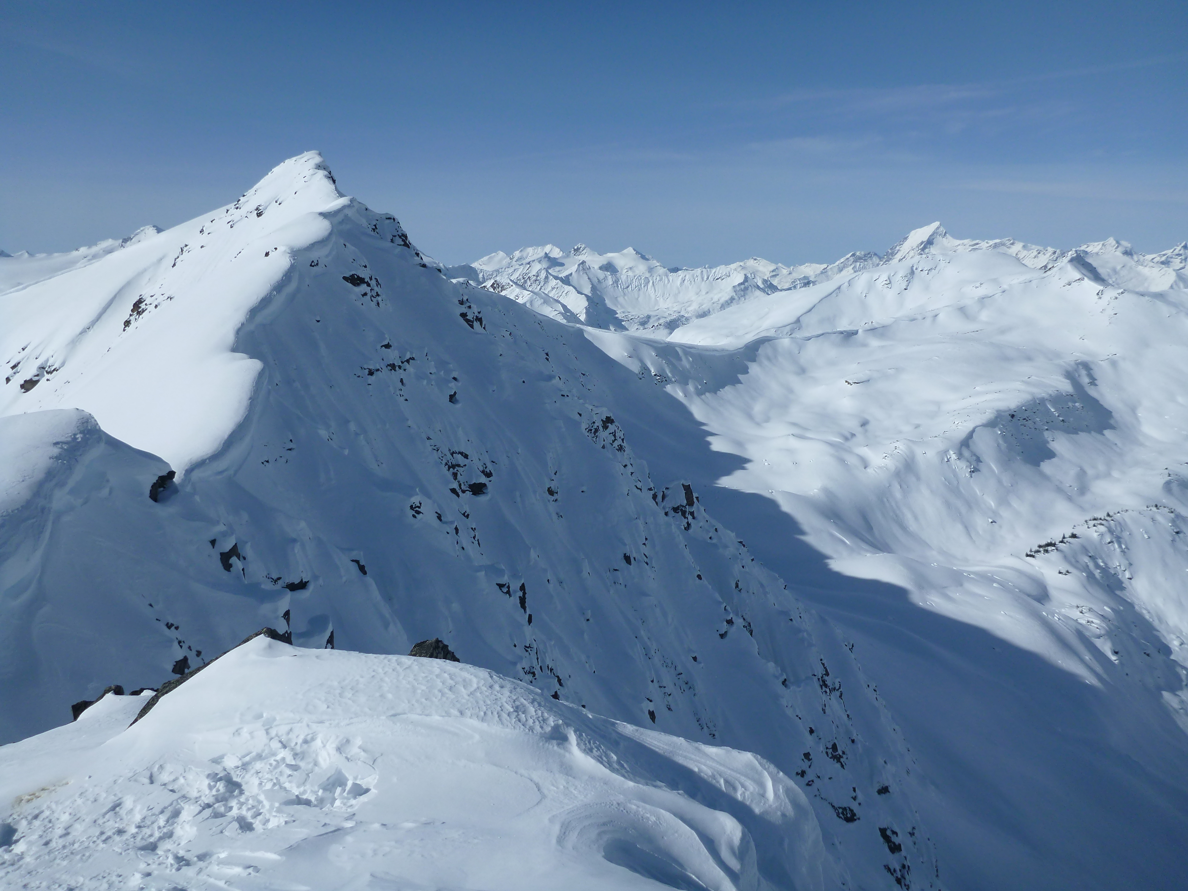
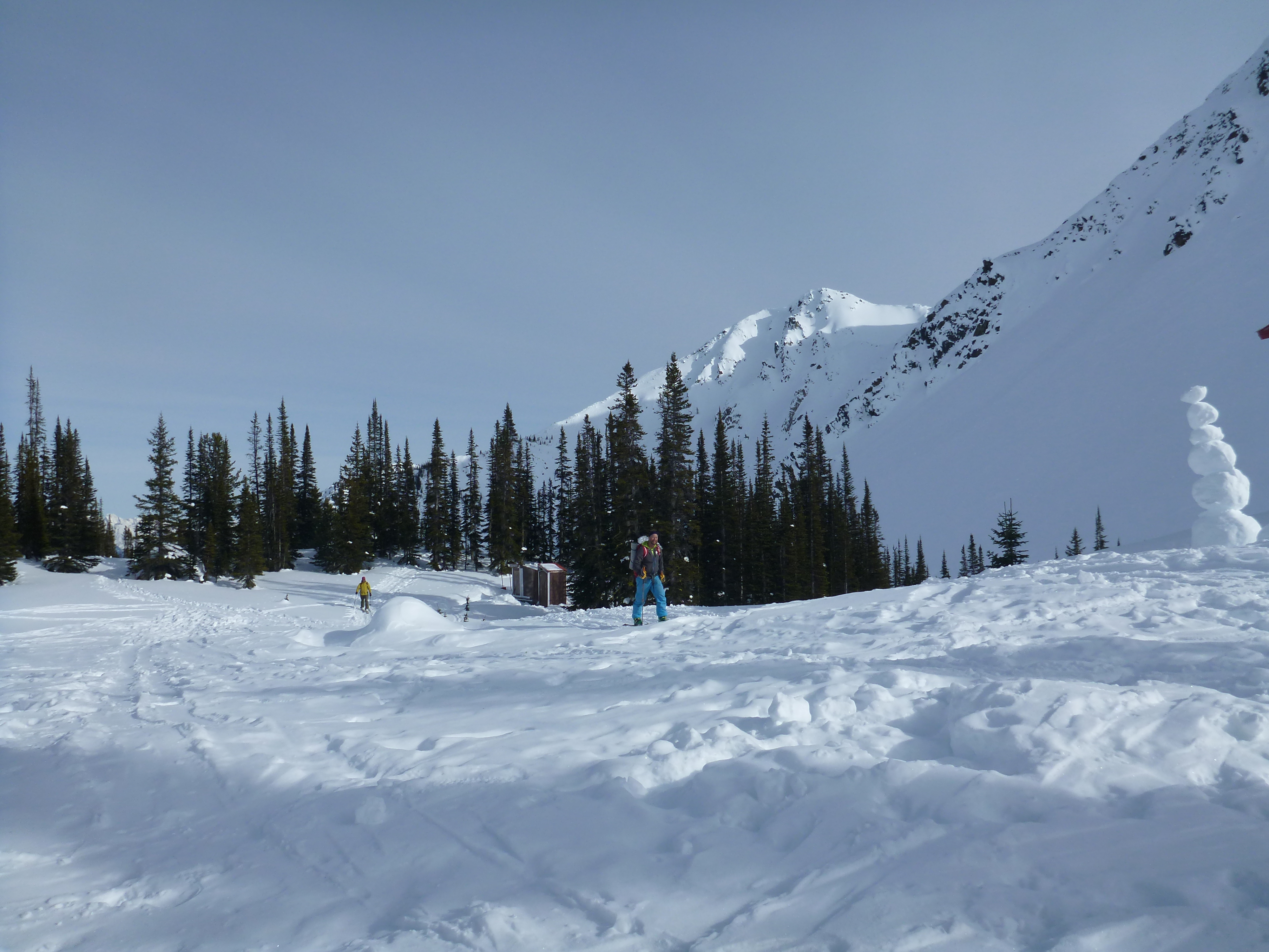
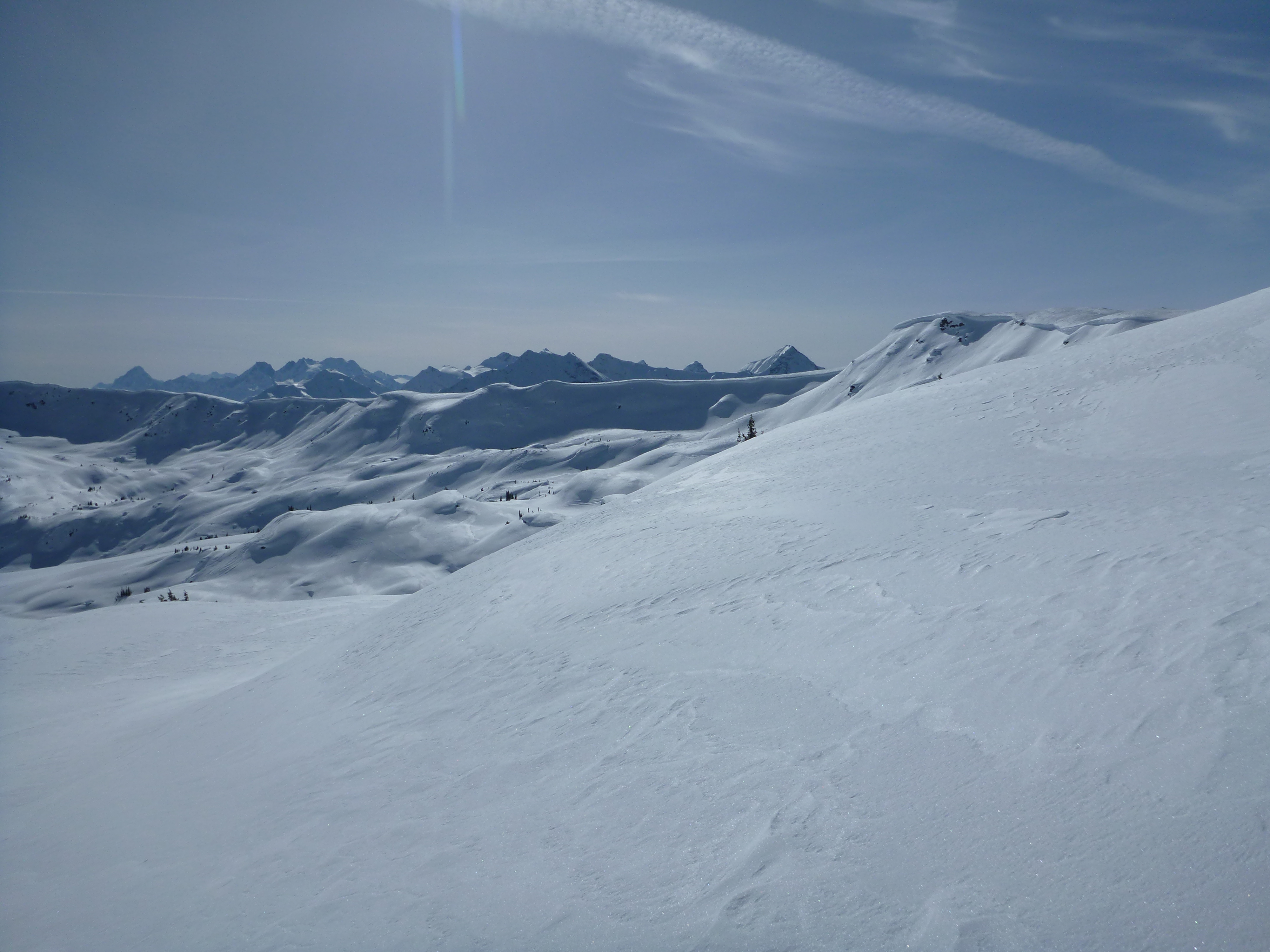
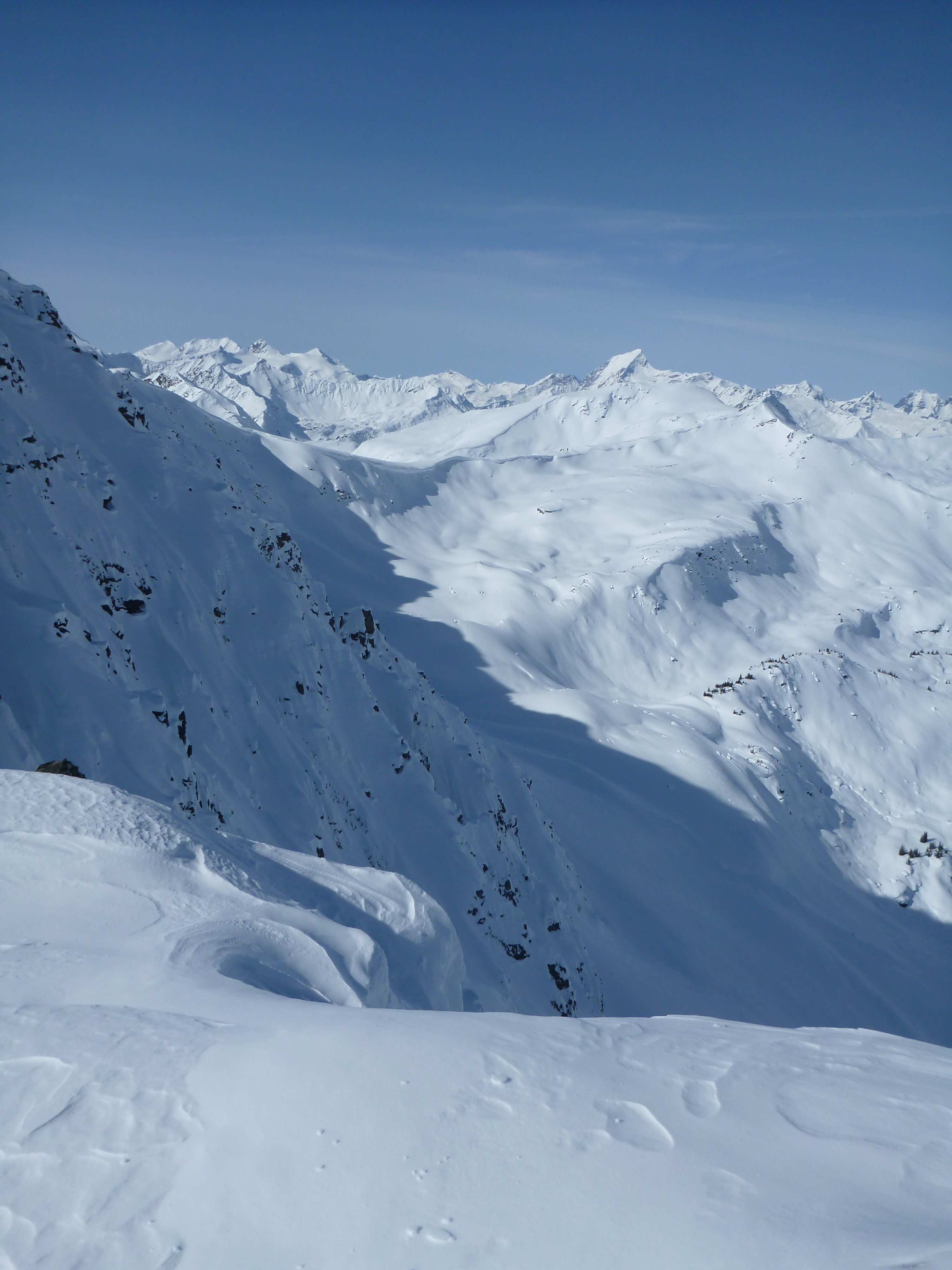
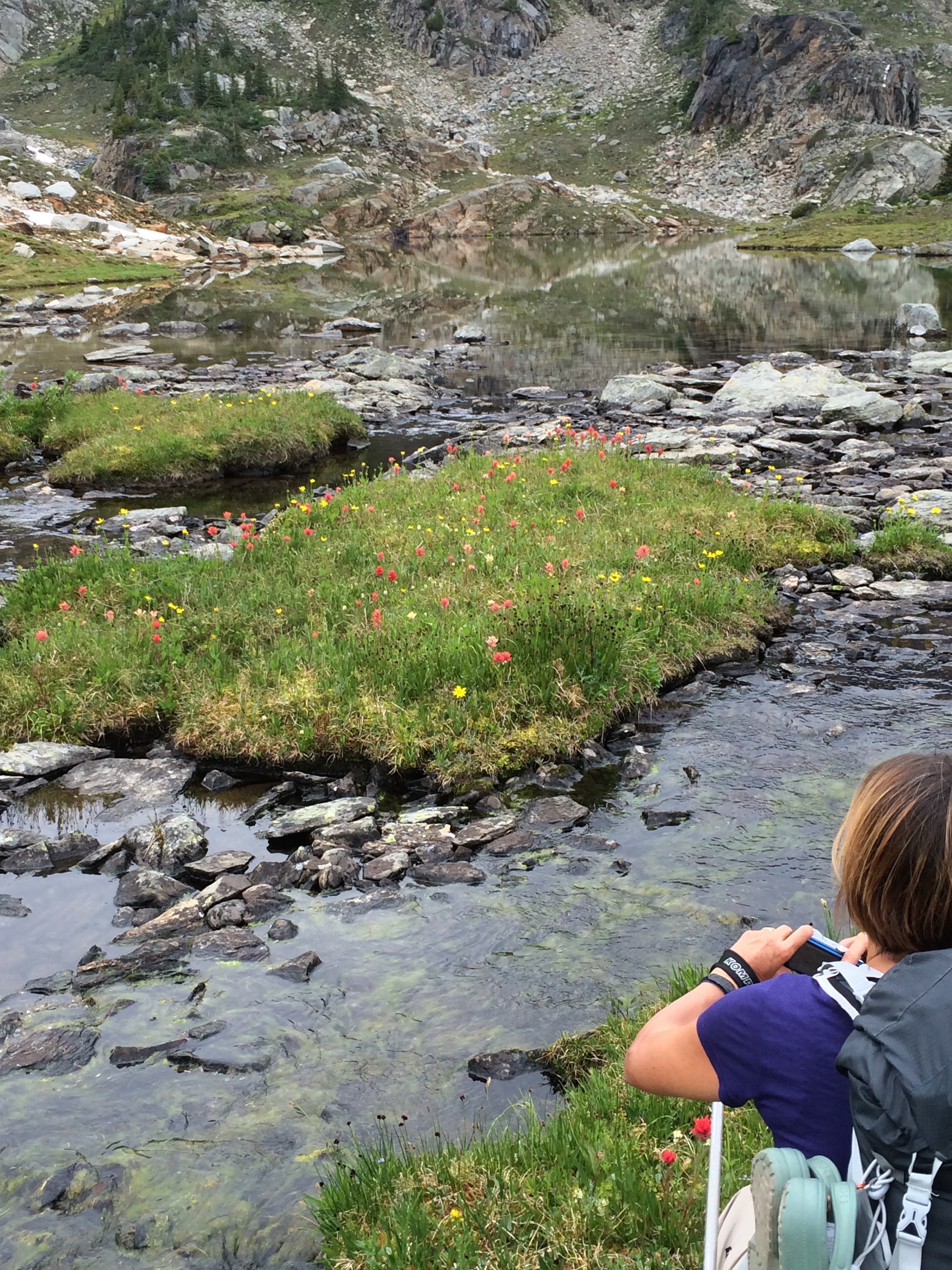
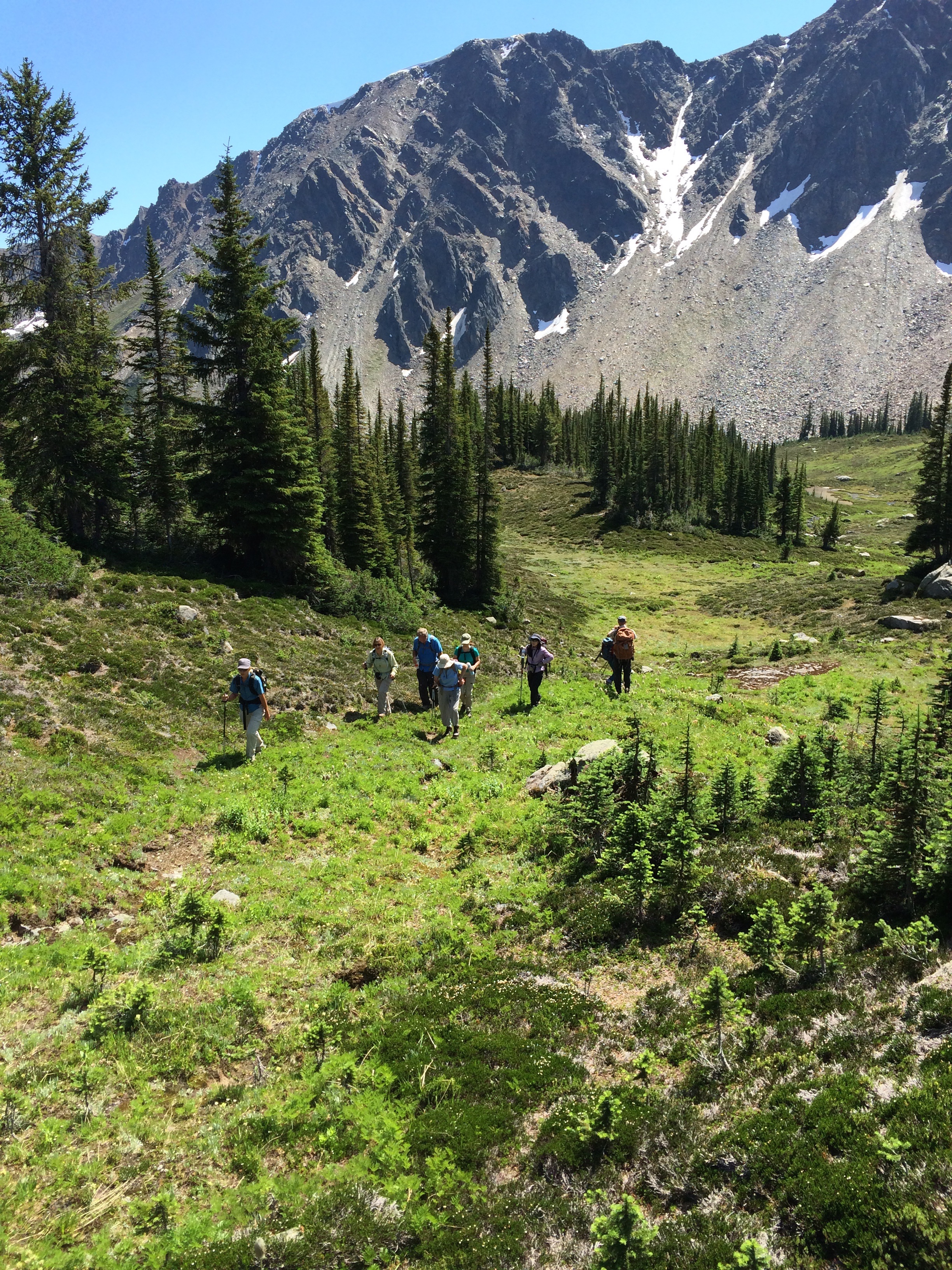
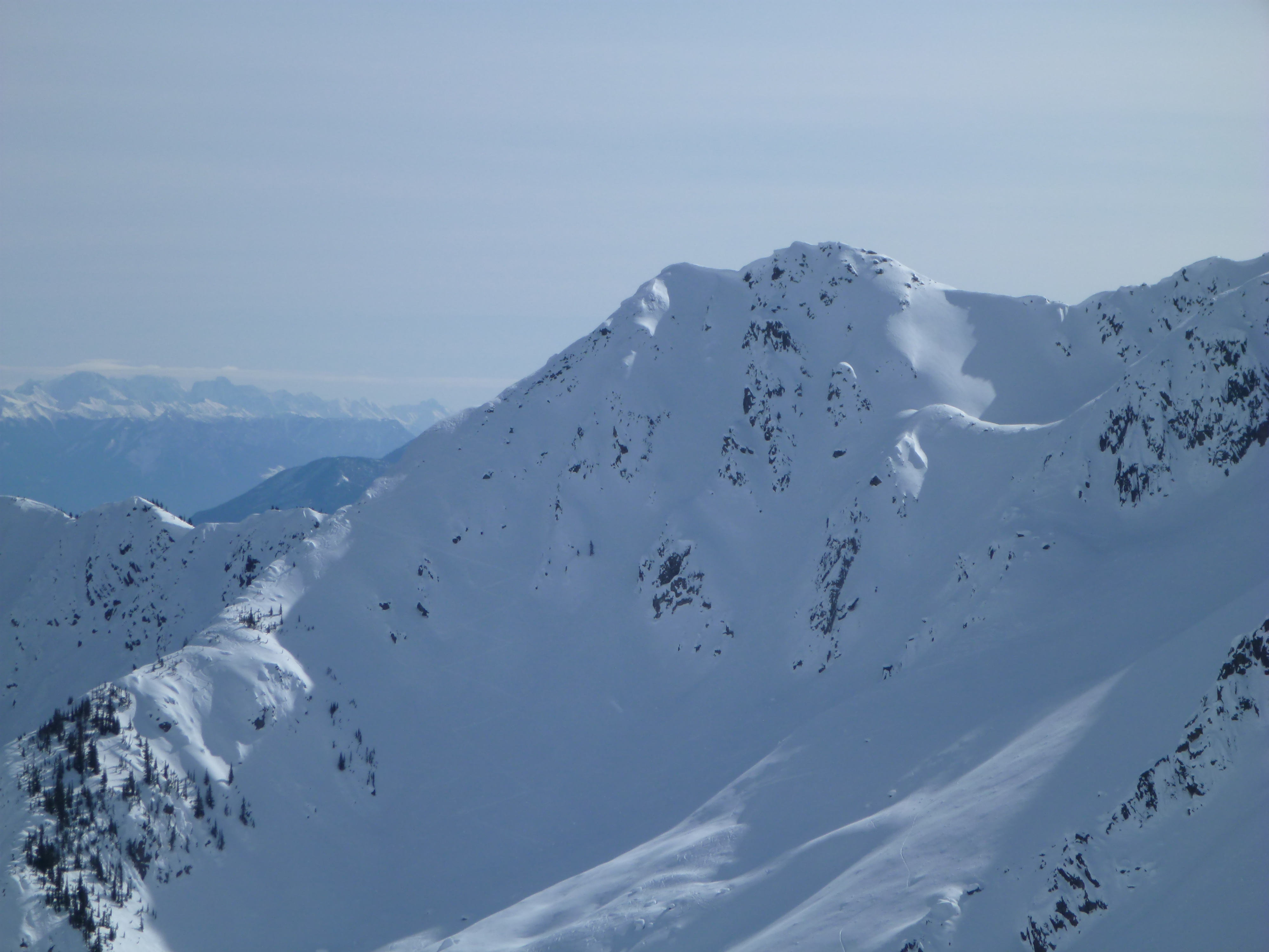
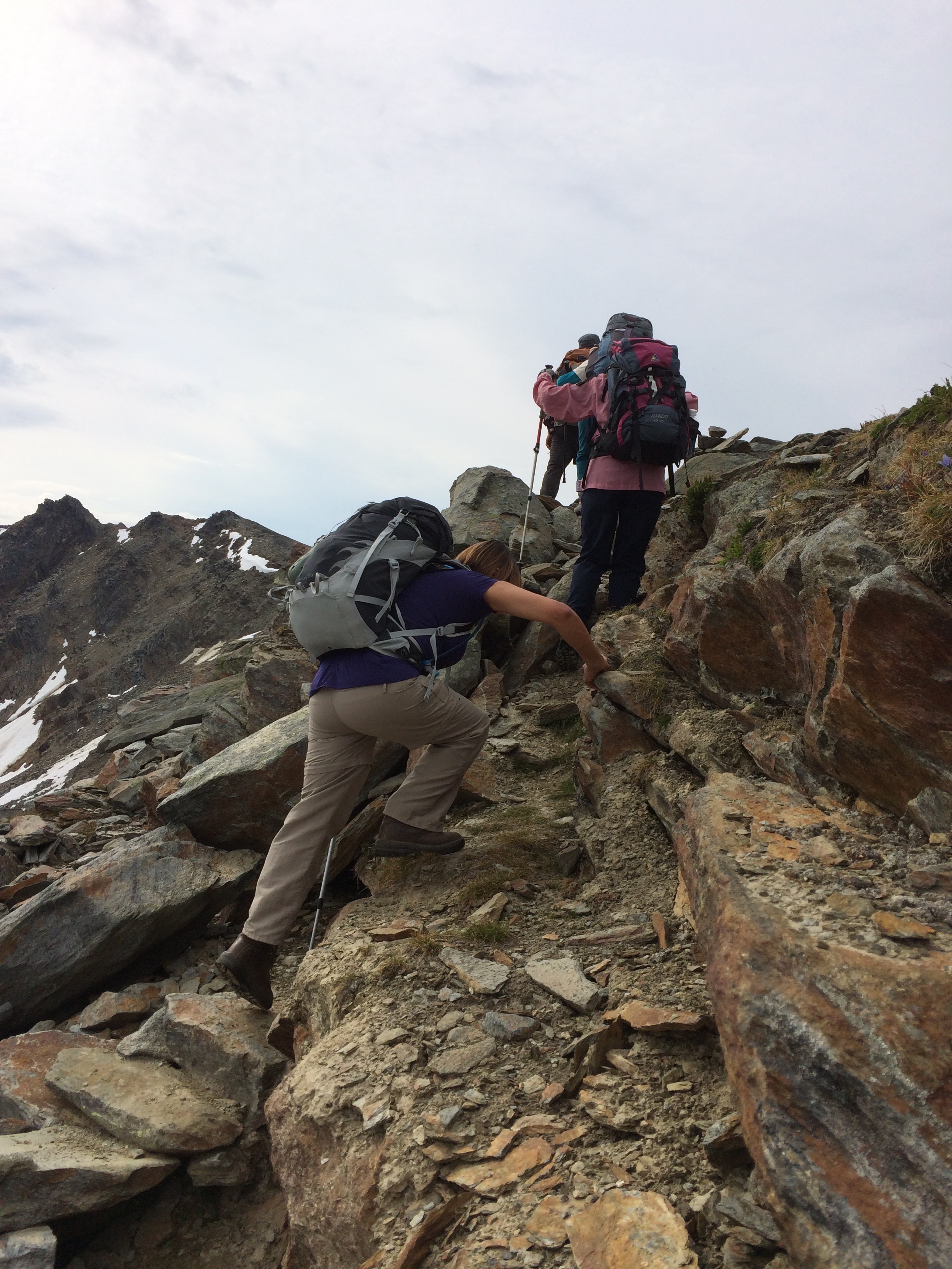
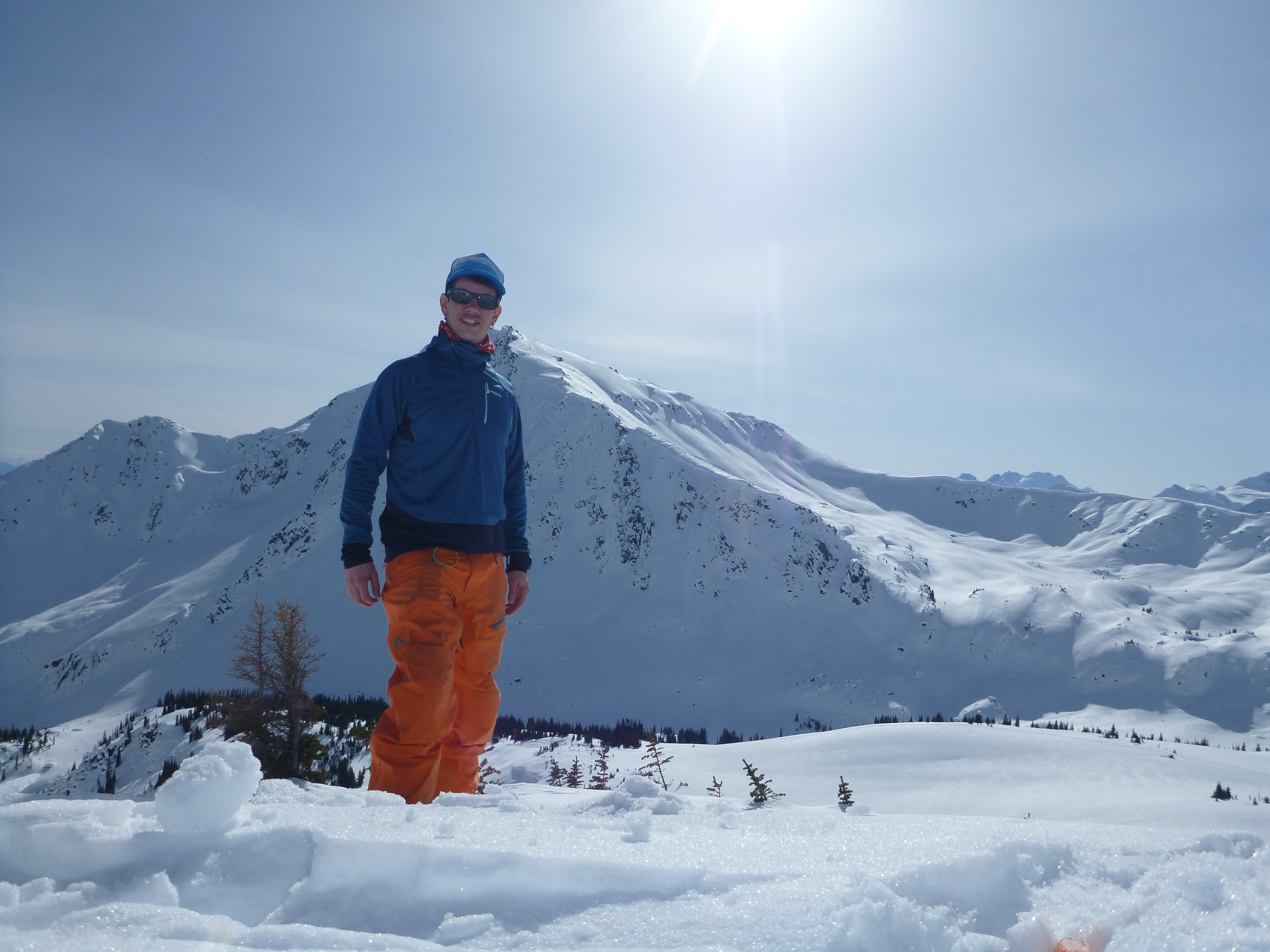
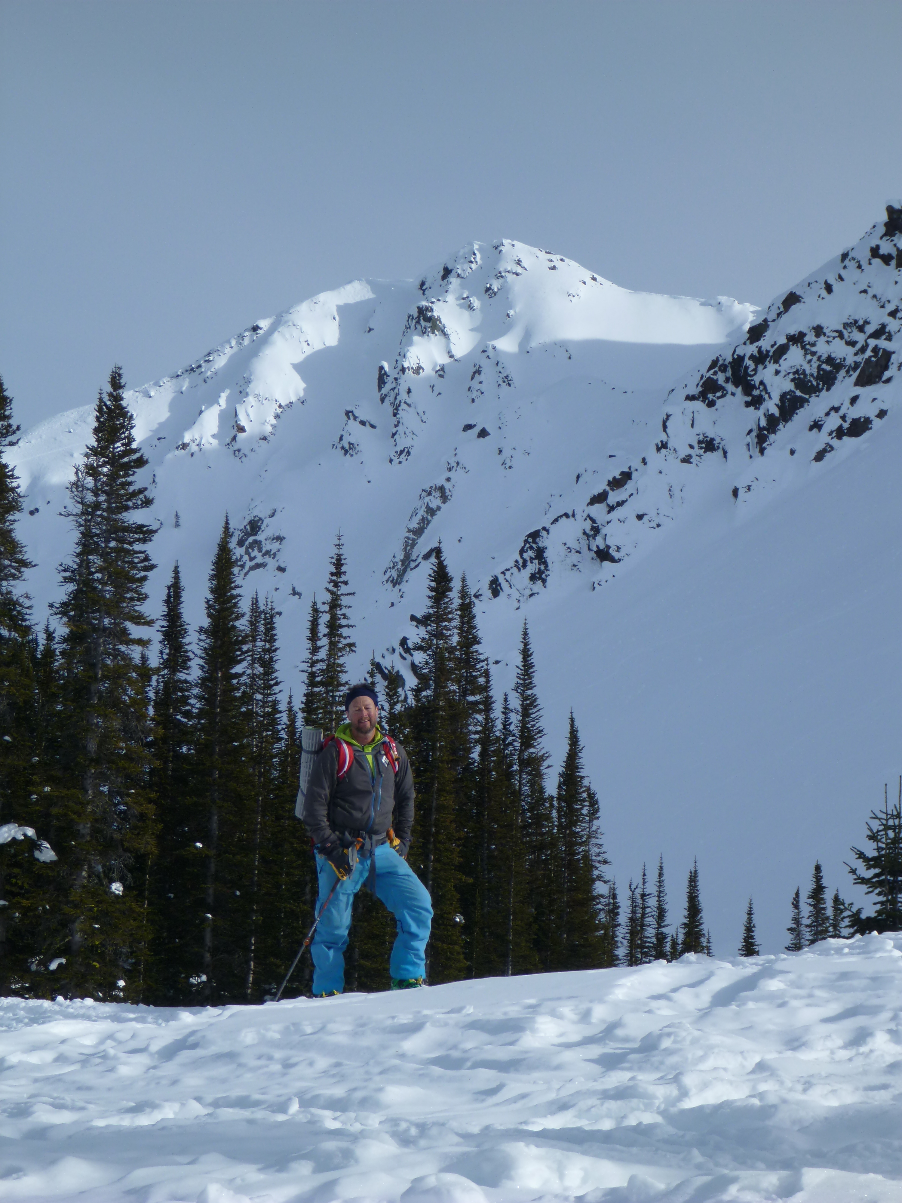
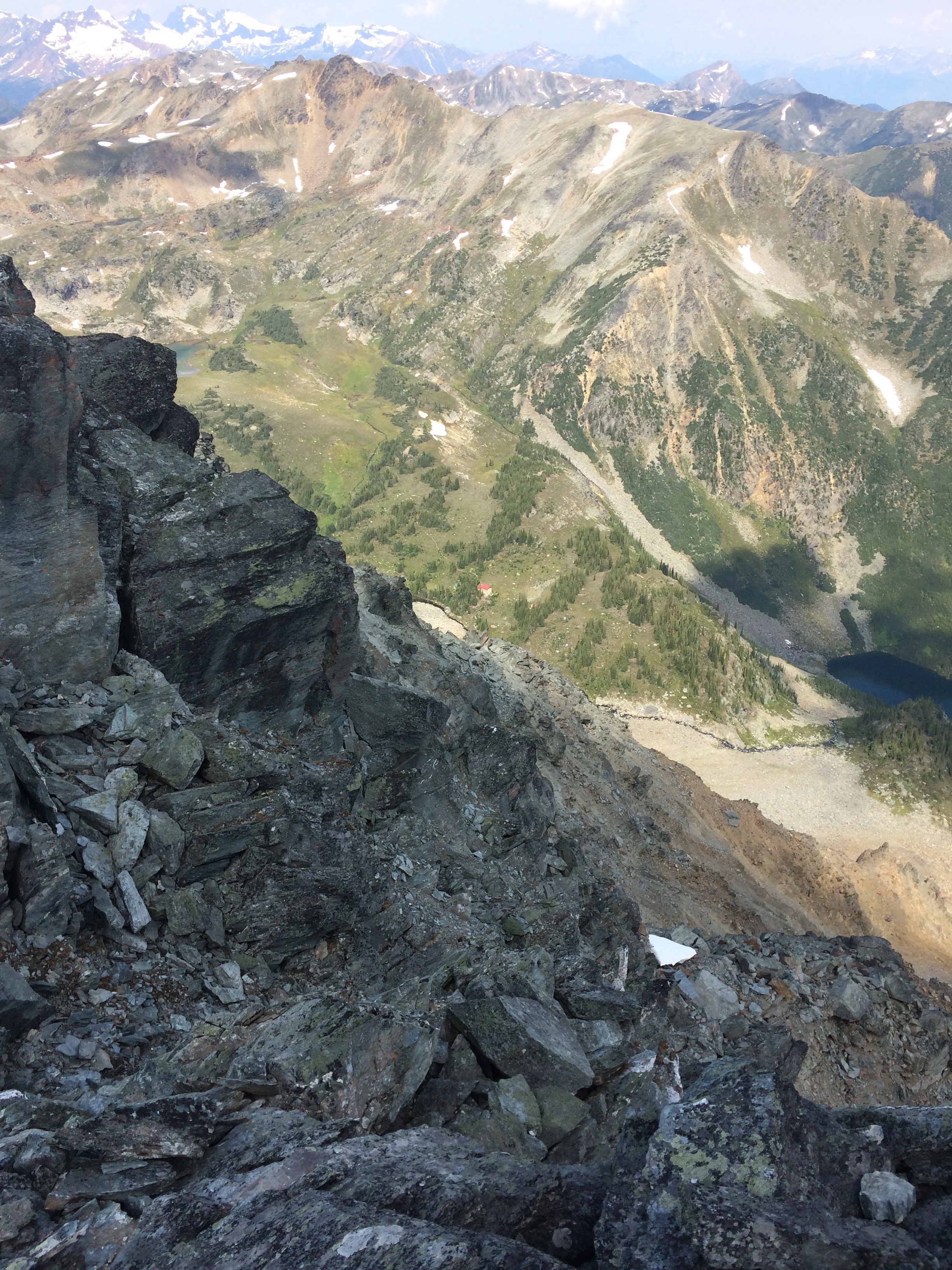
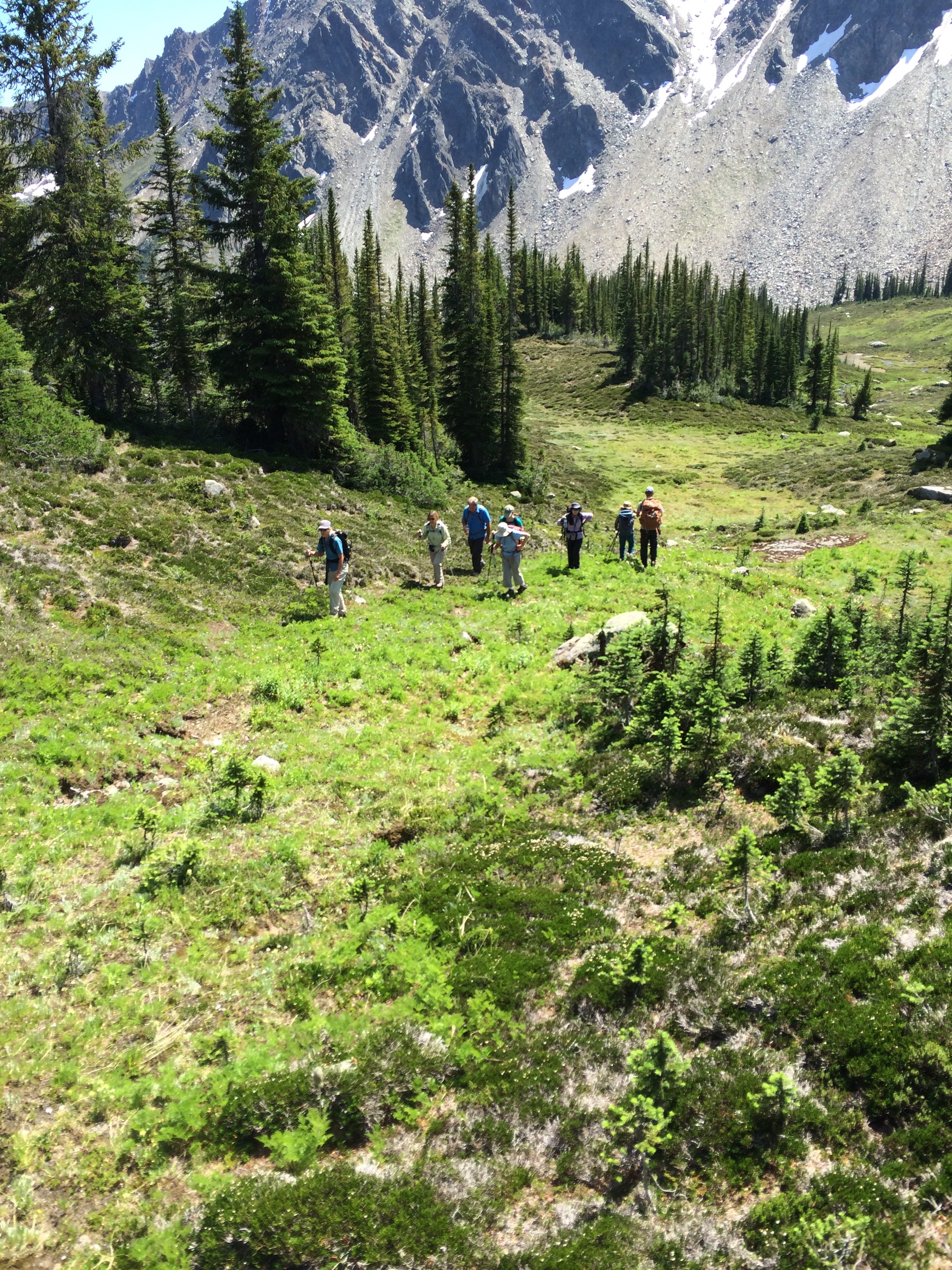
Related Photos:
IMG_1961
P1040677
P1040706
P1040707
IMG_1902
P1040643
P1040652
P1040658
P1040675
P1040659
P1040655
IMG_1937
IMG_1914
P1040640
IMG_1925
IMG_1935
P1040632
P1040676
IMG_1983

P1040665
IMG_1913
Topographic Map of Cherub Mountain, Columbia-Shuswap A, BC V0A, Canada
Find elevation by address:

Places near Cherub Mountain, Columbia-Shuswap A, BC V0A, Canada:
Iconoclast Mountain
Cornice Peak
Sonata Mountain
Mount Sir Sandford
Citadel Mountain
Sorcerer Mountain
Blackfriars Peak
Adamant Mountain
Bachelor R
Grizzly Mountain
Glacier National Park Of Canada
Columbia-shuswap A
Rogers Pass National Historic Site
Rogers Pass
Mount Holway
Rogers Pass
Sophist Mountain
Glacier National Park
Mount Ed Falls
Illecillewaet Campground
Recent Searches:
- Elevation of Corso Fratelli Cairoli, 35, Macerata MC, Italy
- Elevation of Tallevast Rd, Sarasota, FL, USA
- Elevation of 4th St E, Sonoma, CA, USA
- Elevation of Black Hollow Rd, Pennsdale, PA, USA
- Elevation of Oakland Ave, Williamsport, PA, USA
- Elevation of Pedrógão Grande, Portugal
- Elevation of Klee Dr, Martinsburg, WV, USA
- Elevation of Via Roma, Pieranica CR, Italy
- Elevation of Tavkvetili Mountain, Georgia
- Elevation of Hartfords Bluff Cir, Mt Pleasant, SC, USA