Elevation of Cherry Valley Rd, Gilford, NH, USA
Location: United States > New Hampshire > Belknap County > Gilford >
Longitude: -71.345659
Latitude: 43.5323299
Elevation: 348m / 1142feet
Barometric Pressure: 97KPa
Elevation Map:
Satellite Map:
Related Photos:
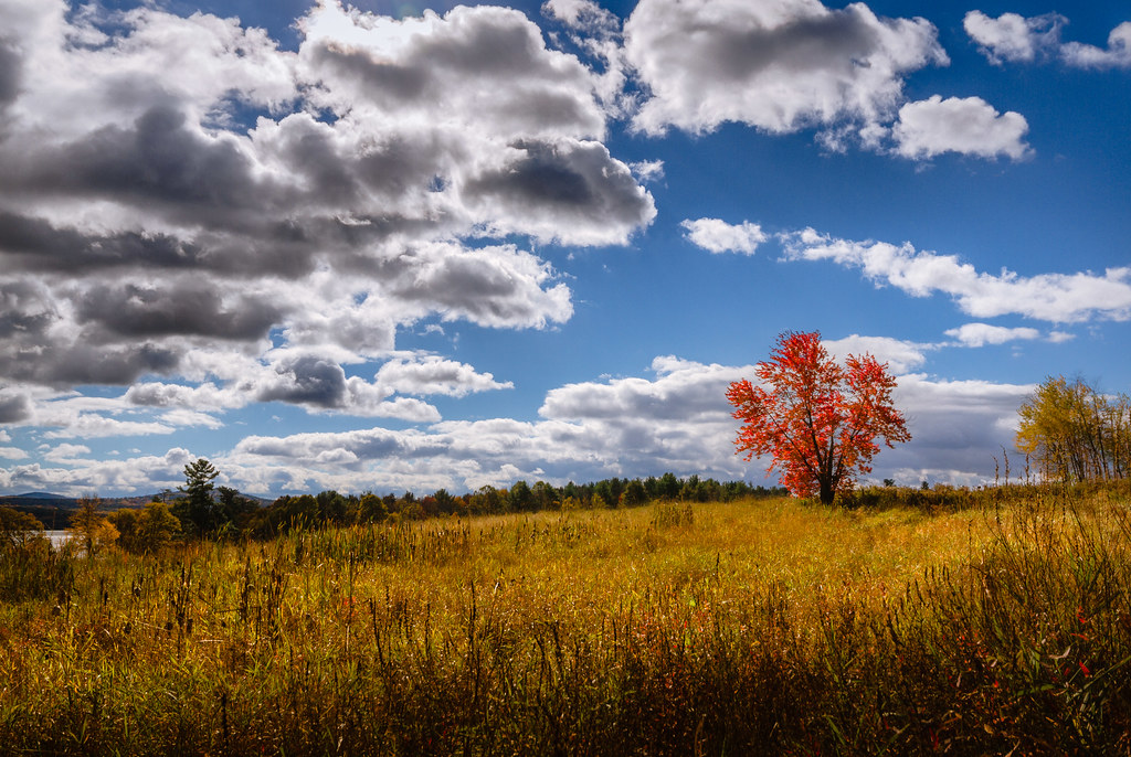
Little Red

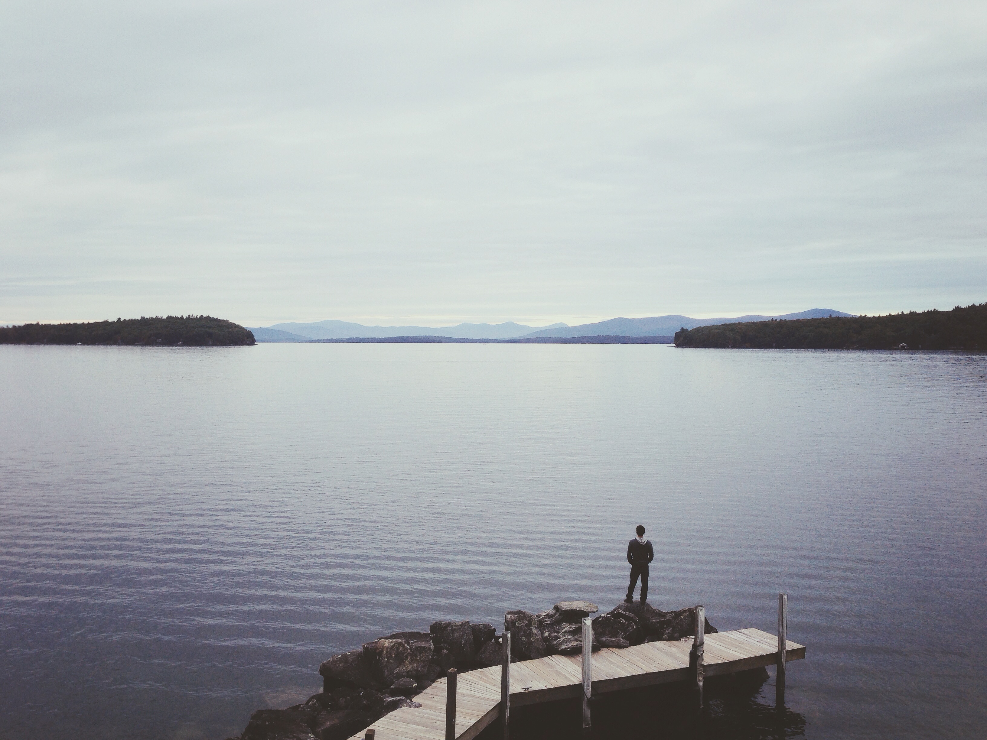
Ramblin' Clouds

Winnipesaukee sunrise #winnipesaukee #laconia #nh #newhampshire #lakesregion #granitestate #newengland

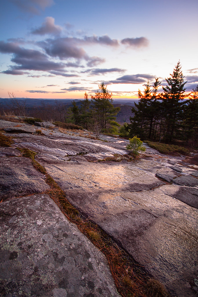
Lake Winnepasauke and the White Mtns seen from Mt. Major, NH.

Poor Farm Brook
...
A mighty fine day here in New Hampshire

along Gunstock brook
Rattlesnake Island
Western Piper
20141007-IMG_1225

Morning Walk

Where The Trail Ends
Photo Aug 02, 7 18 06 PM (1)

They made the sky laugh that morning as they ran up the mountain. With the sky and our calves on fire, Myles states," At the end of a run, I've never thought, 'I wish I didn't do that.' " #noregrets #sunriserun #mountainrunning #traildogblog

Tannery hill bridge
Wentworth-Cresent Lakes (25)

Night light
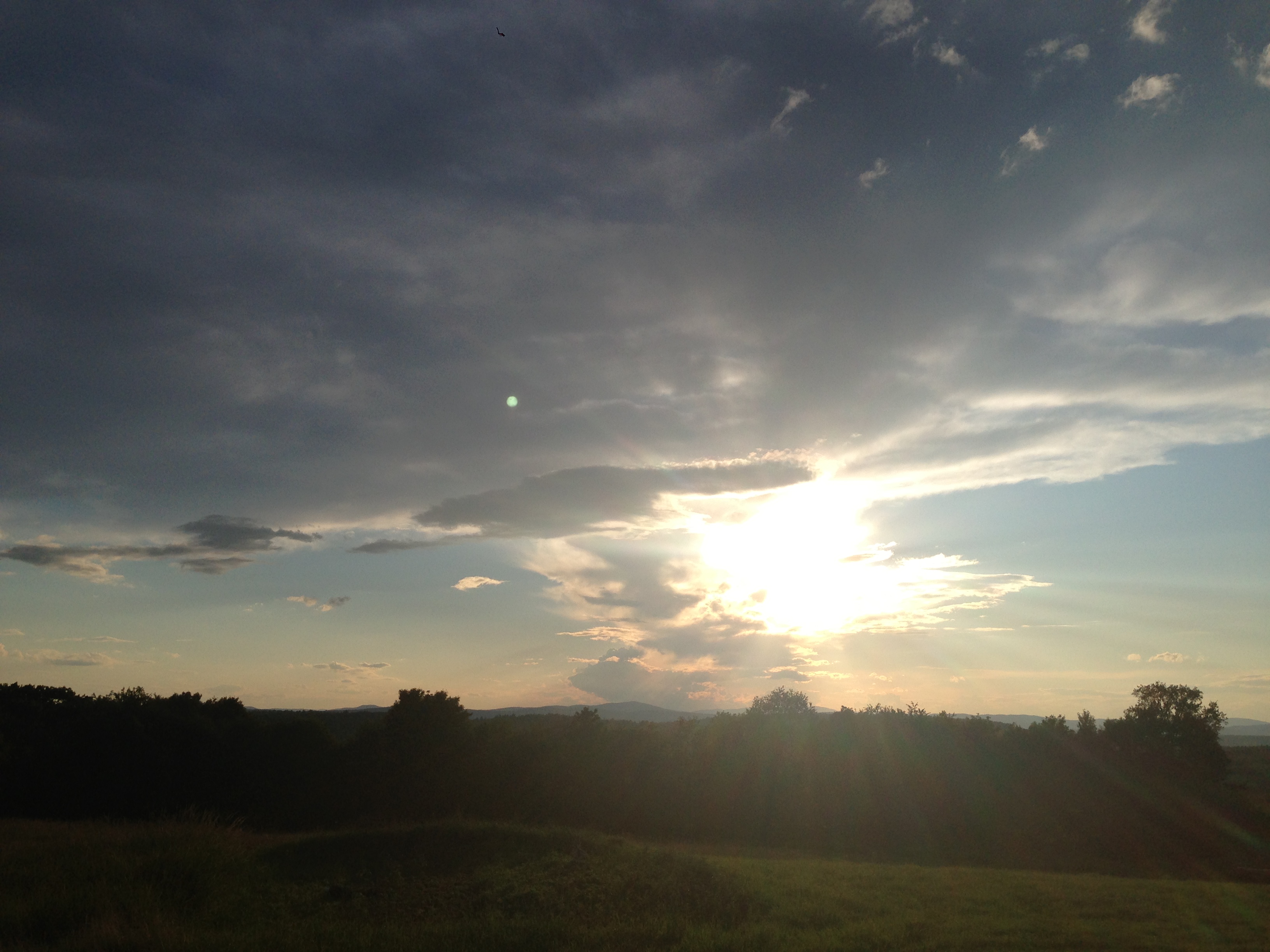
Photo Aug 02, 7 17 51 PM

Knight's Pond (pano)
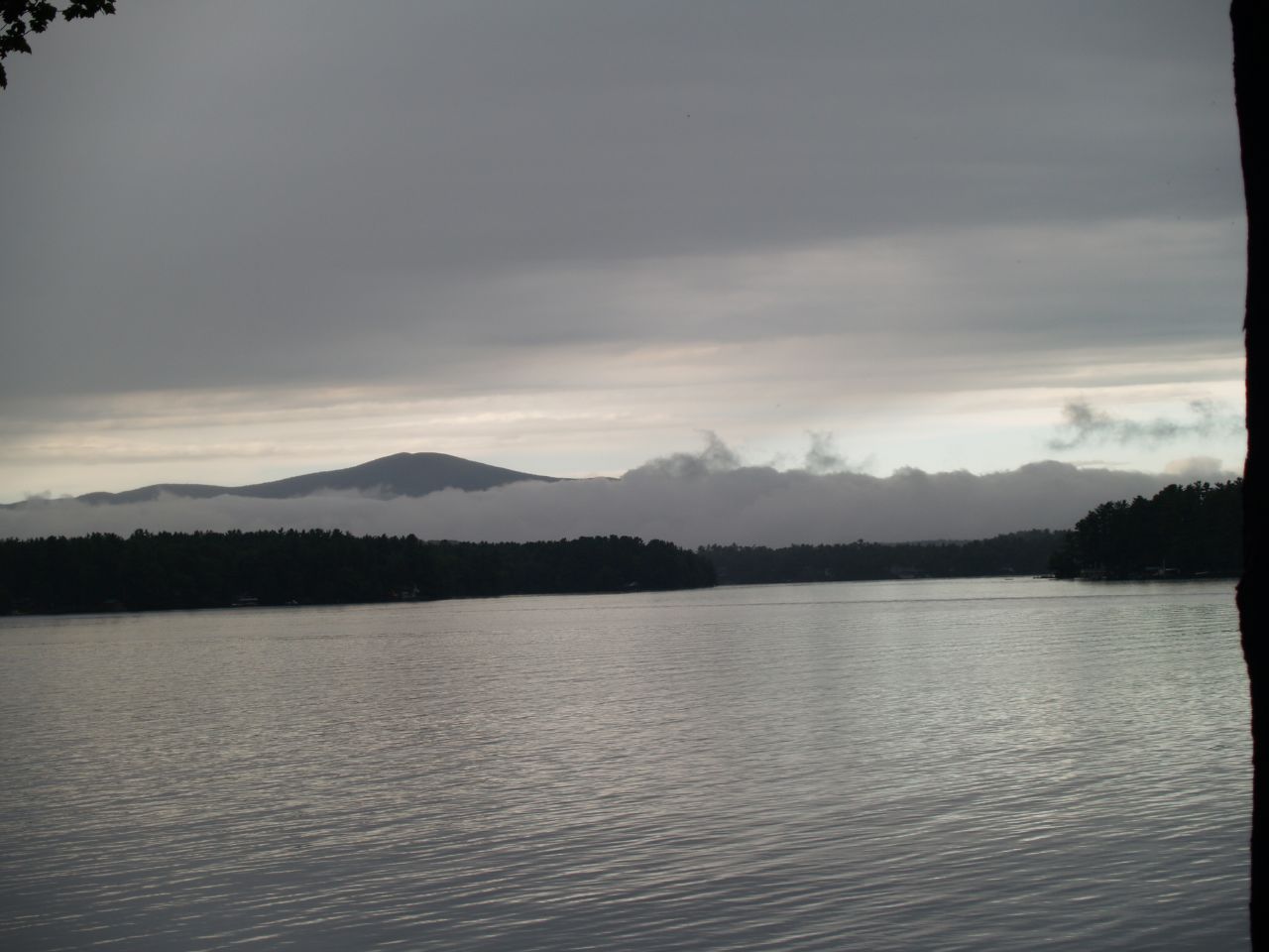
Grey Skies
Topographic Map of Cherry Valley Rd, Gilford, NH, USA
Find elevation by address:

Places near Cherry Valley Rd, Gilford, NH, USA:
Gunstock Mountain Resort
1270 Cherry Valley Rd
40 Trail View Dr
14 Trail View Dr
663 Cherry Valley Rd
21 Deer Run Ln
10 Buckboard Dr
2761 Lake Shore Rd
7 Alpine Way
Sleepers Point
197 Scenic Dr
Straightback Mountain
32 Guinea Ridge Rd
Mount Major
200 Sargent Rd
210 Sargent Rd
200 Sargent Rd
210 Sargent Rd
190 Sargent Rd
497 Alton Mountain Rd
Recent Searches:
- Elevation of Corso Fratelli Cairoli, 35, Macerata MC, Italy
- Elevation of Tallevast Rd, Sarasota, FL, USA
- Elevation of 4th St E, Sonoma, CA, USA
- Elevation of Black Hollow Rd, Pennsdale, PA, USA
- Elevation of Oakland Ave, Williamsport, PA, USA
- Elevation of Pedrógão Grande, Portugal
- Elevation of Klee Dr, Martinsburg, WV, USA
- Elevation of Via Roma, Pieranica CR, Italy
- Elevation of Tavkvetili Mountain, Georgia
- Elevation of Hartfords Bluff Cir, Mt Pleasant, SC, USA