Elevation of Cherry Hill Rd, Kountze, TX, USA
Location: United States > Texas > Kountze >
Longitude: -94.329215
Latitude: 30.302702
Elevation: 21m / 69feet
Barometric Pressure: 101KPa
Elevation Map:
Satellite Map:
Related Photos:

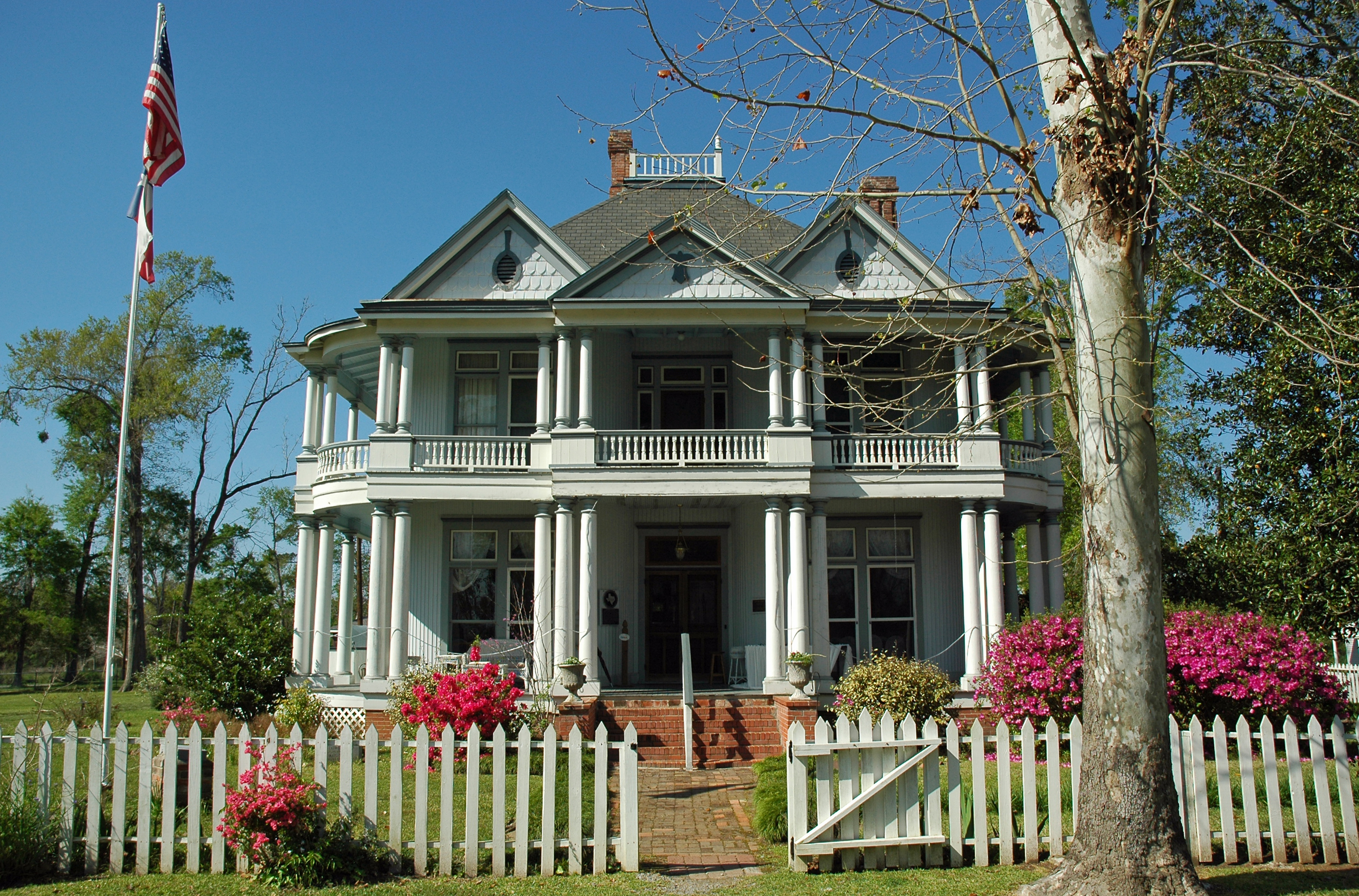
Mothers Day 2009

Mothers Day 2009

Mothers Day 2009

Mothers Day 2009
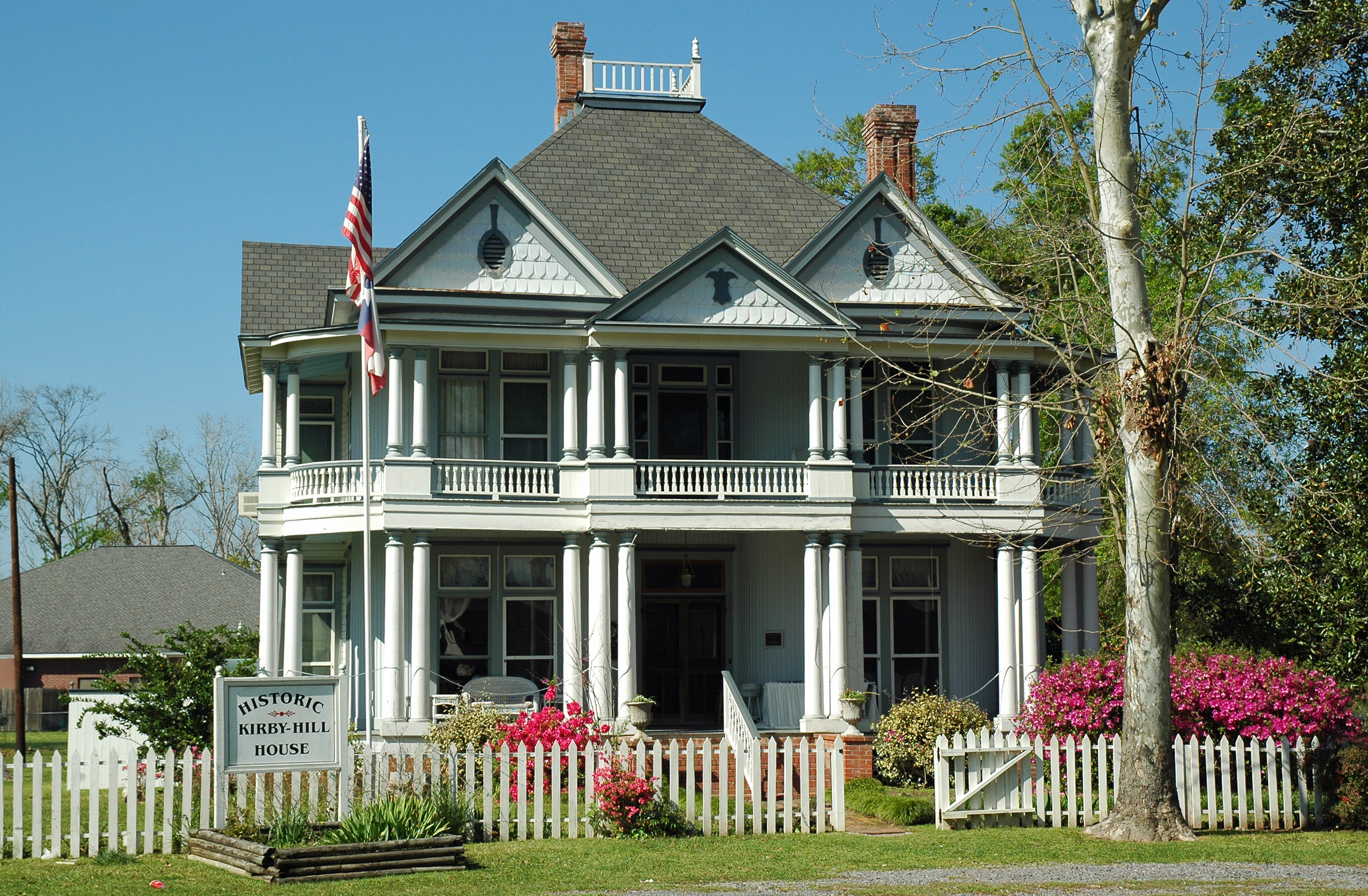
Kirby-Hill House

Mothers Day 2009
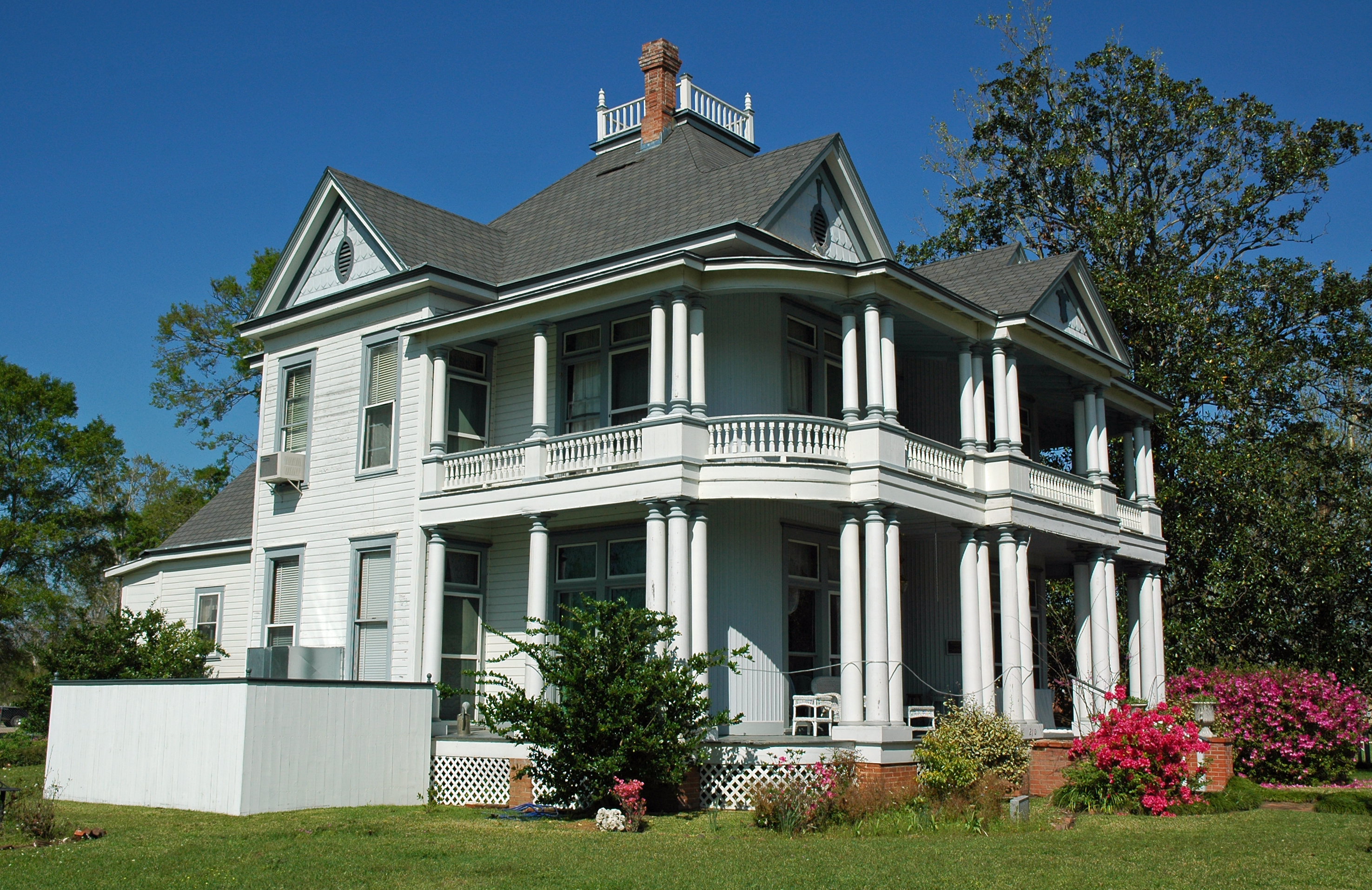
Kirby-Hill House

Mothers Day 2009

Mothers Day 2009
Kirby-Hill House

Mothers Day 2009

Mothers Day 2009

Mothers Day 2009

Mothers Day 2009

Mothers Day 2009

Mothers Day 2009

Mothers Day 2009

Mothers Day 2009
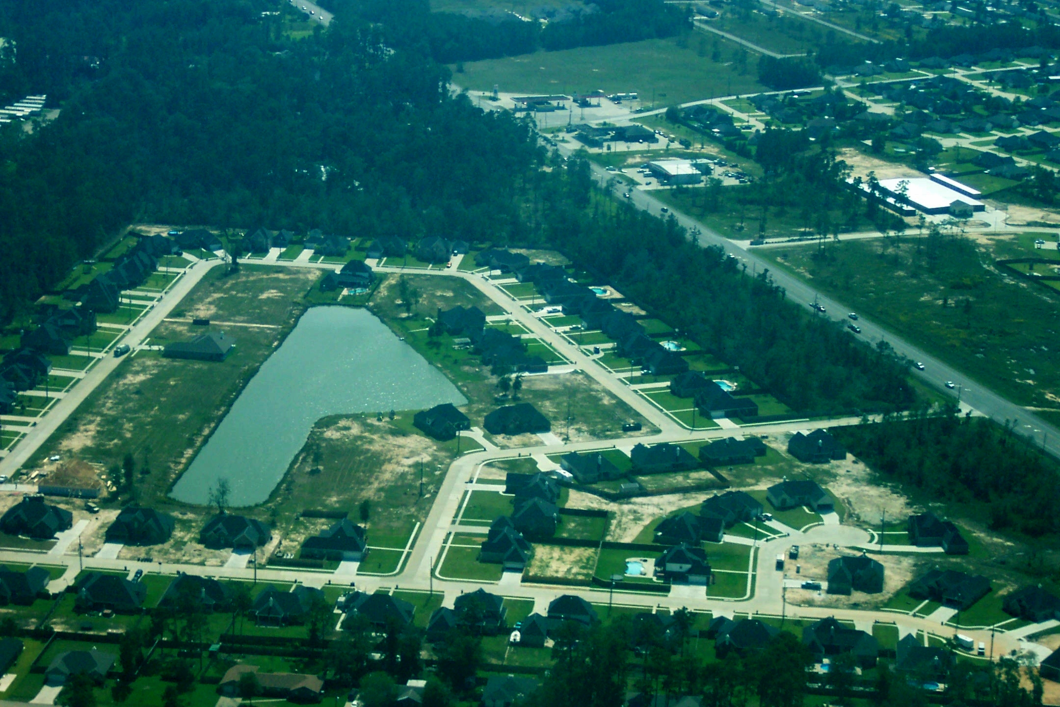
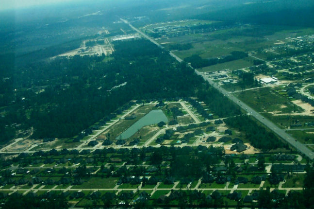
Aerial View 1
Aerial View 2

Mothers Day 2009

Cypress Creek 33
Topographic Map of Cherry Hill Rd, Kountze, TX, USA
Find elevation by address:

Places near Cherry Hill Rd, Kountze, TX, USA:
Hardin County
Kountze
3432 Lakewood Dr
2955 Lakewood Dr
Spiller Drive
306 Tyler Dr
Sarah Lane
Wheeler Road
Whispering Pines Drive
155 Rachel Ln
155 Rachel Ln
296 Hannah Ln
6455 Kerrville Lane
3518 Tx-327
6630 Georgetown Ln
6630 Georgetown Ln
6630 Georgetown Ln
6385 Jenny Ln
Cormier Homes
6245 Jenny Ln
Recent Searches:
- Elevation of Corso Fratelli Cairoli, 35, Macerata MC, Italy
- Elevation of Tallevast Rd, Sarasota, FL, USA
- Elevation of 4th St E, Sonoma, CA, USA
- Elevation of Black Hollow Rd, Pennsdale, PA, USA
- Elevation of Oakland Ave, Williamsport, PA, USA
- Elevation of Pedrógão Grande, Portugal
- Elevation of Klee Dr, Martinsburg, WV, USA
- Elevation of Via Roma, Pieranica CR, Italy
- Elevation of Tavkvetili Mountain, Georgia
- Elevation of Hartfords Bluff Cir, Mt Pleasant, SC, USA