Elevation of Cherry Grove Township, MN, USA
Location: United States > Minnesota > Goodhue County >
Longitude: -92.837765
Latitude: 44.2317116
Elevation: 370m / 1214feet
Barometric Pressure: 97KPa
Elevation Map:
Satellite Map:
Related Photos:
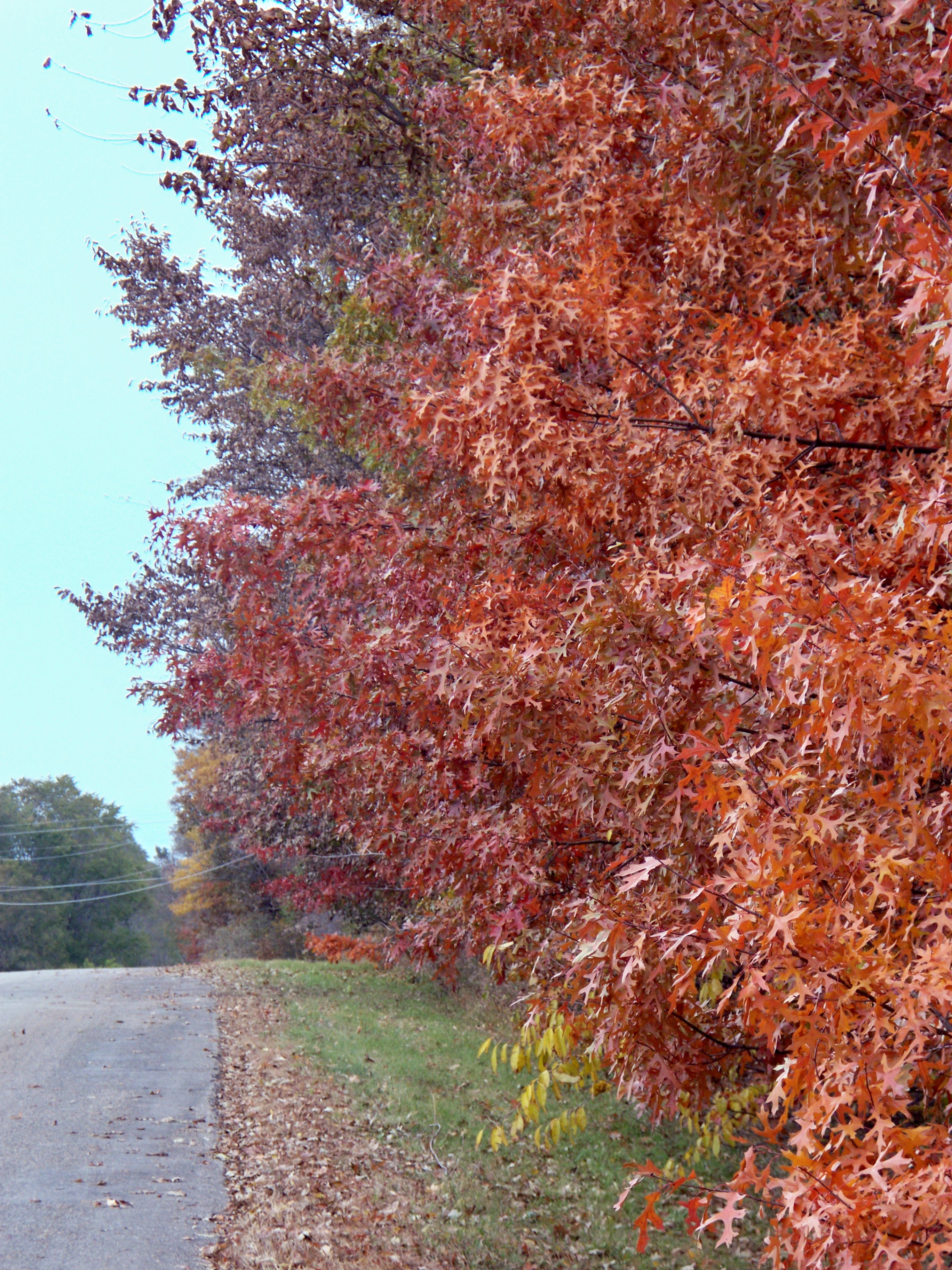
Mingo Trees
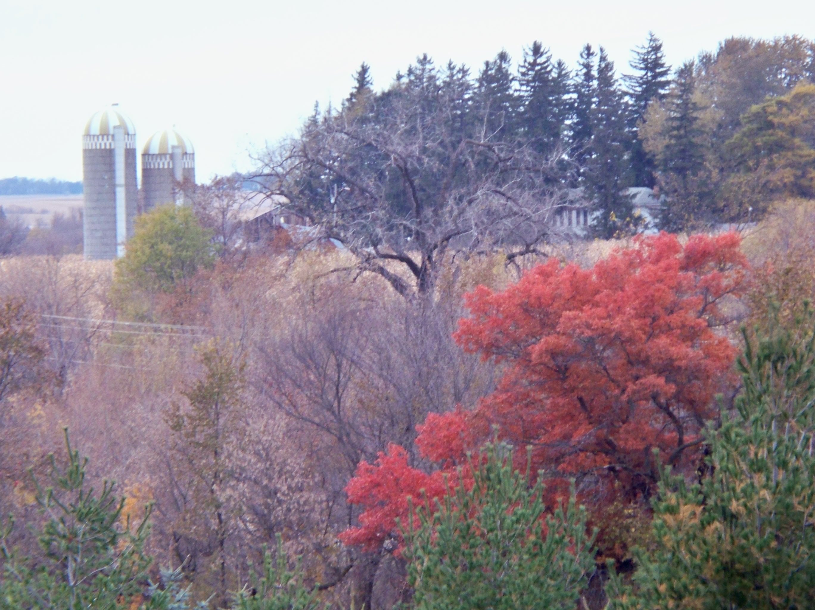
Fall Scenery
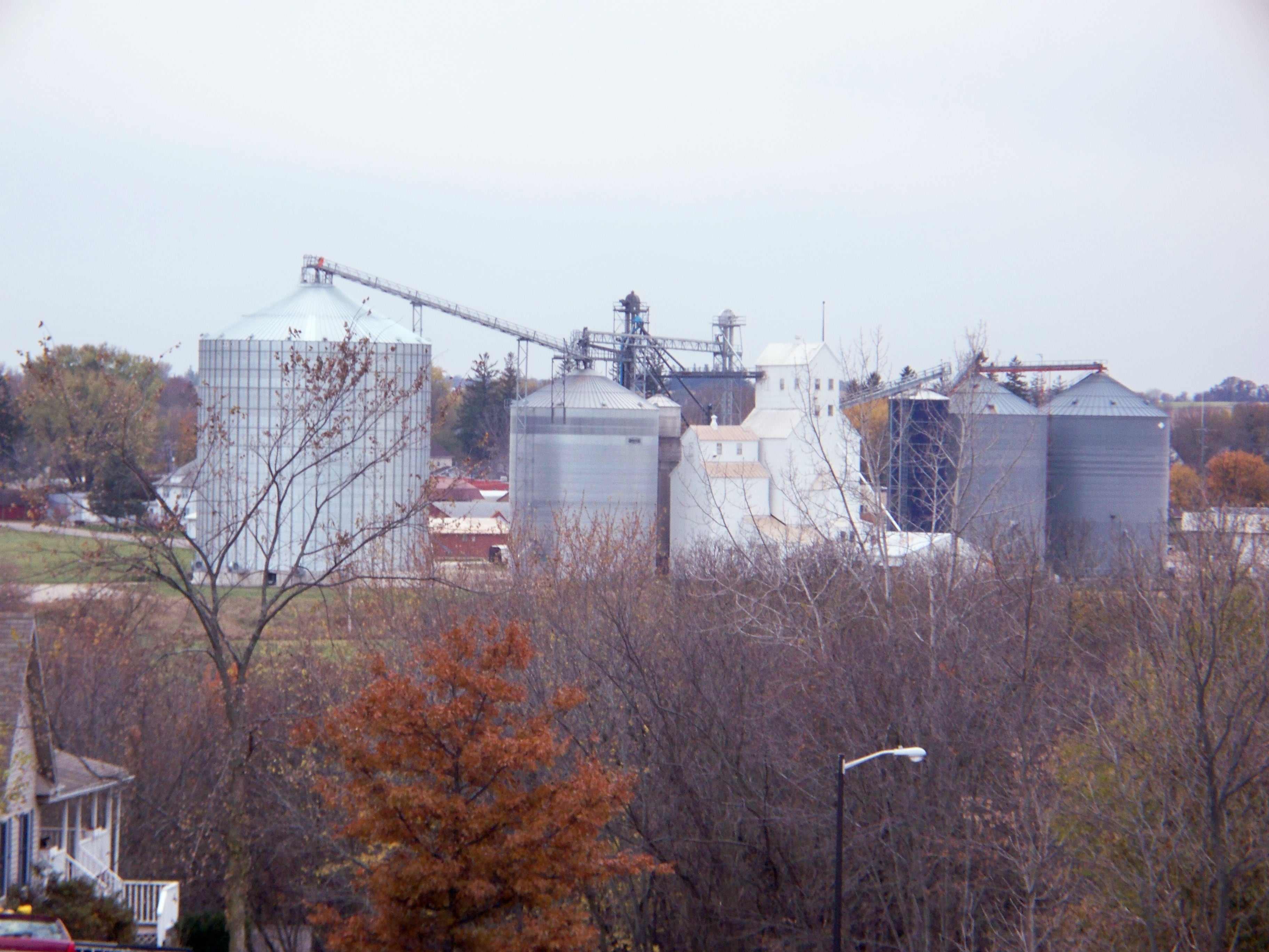
Wanamingo Elevators
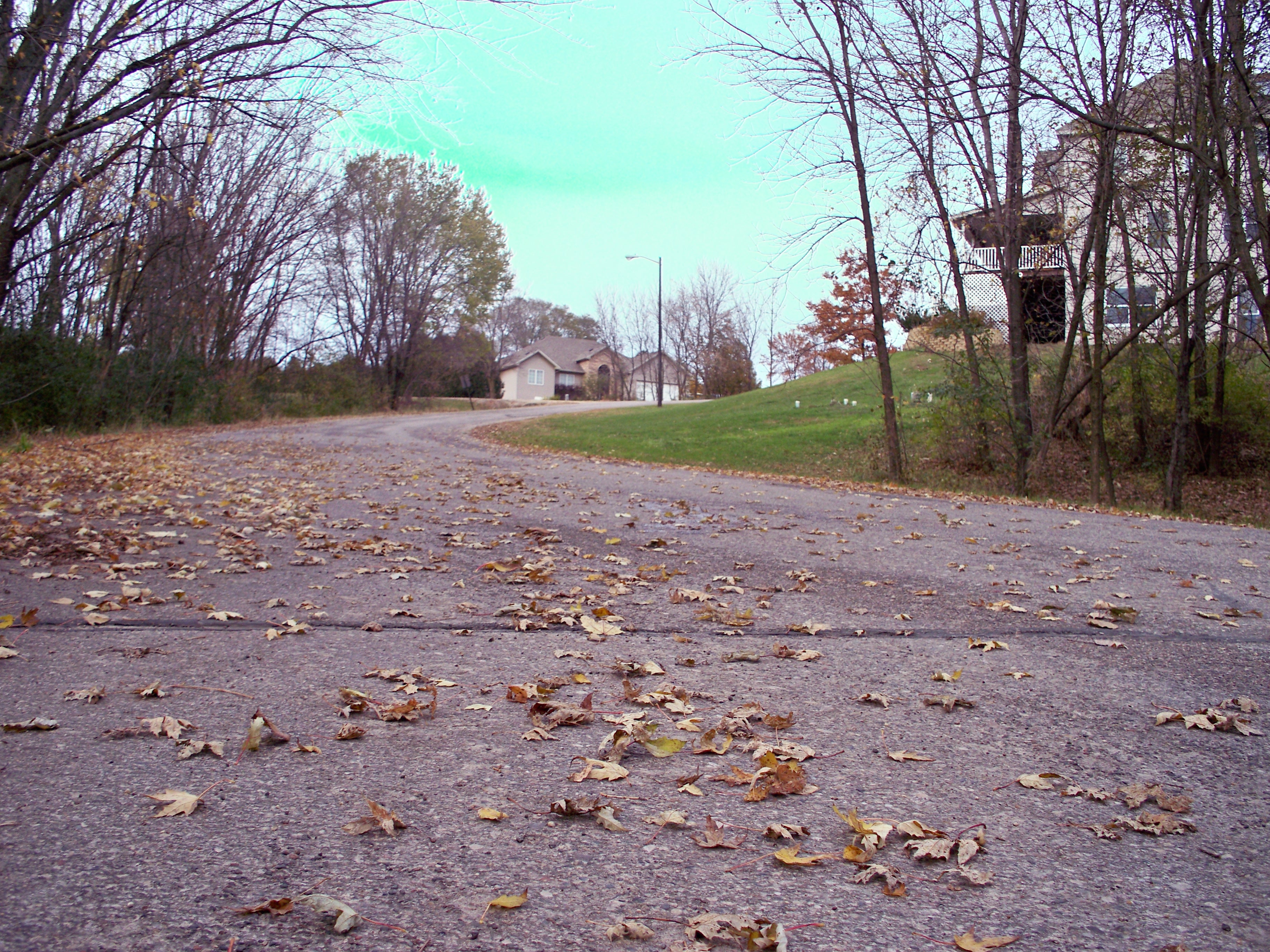
Mingo View Hill
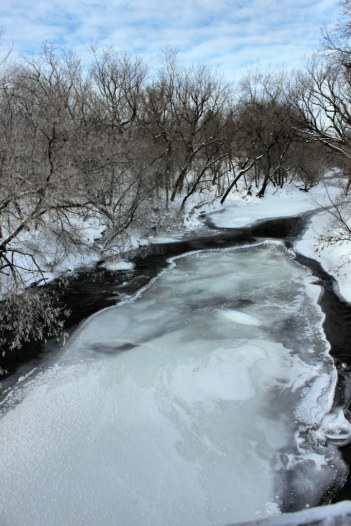
Zumbrota River View

My Homeland No. 3 #abstract #rotated #landscape #winter #grunge

Below zero

On the Edge of Kenyon, Minnesota
Turk hunt 125

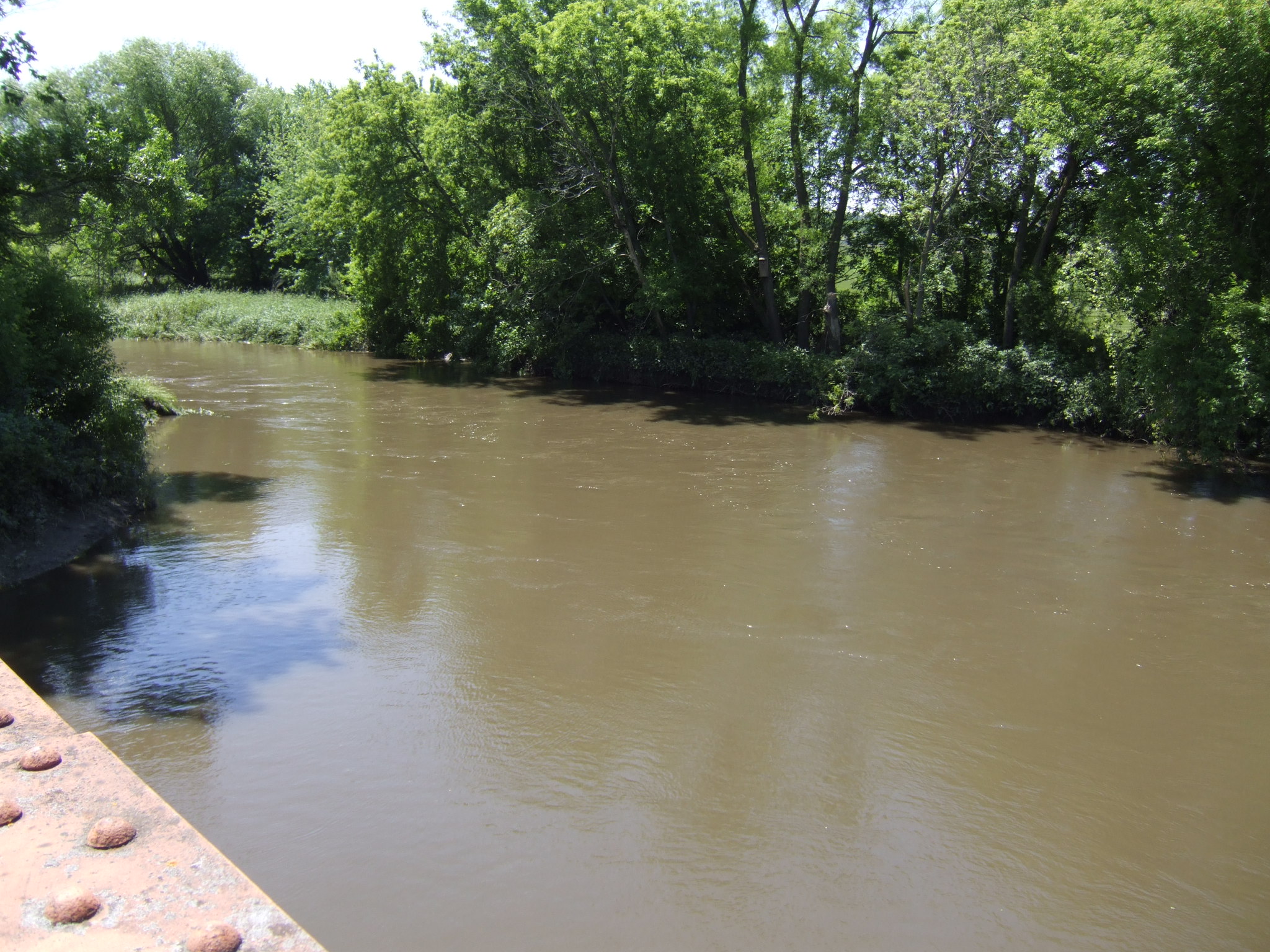
dirty river

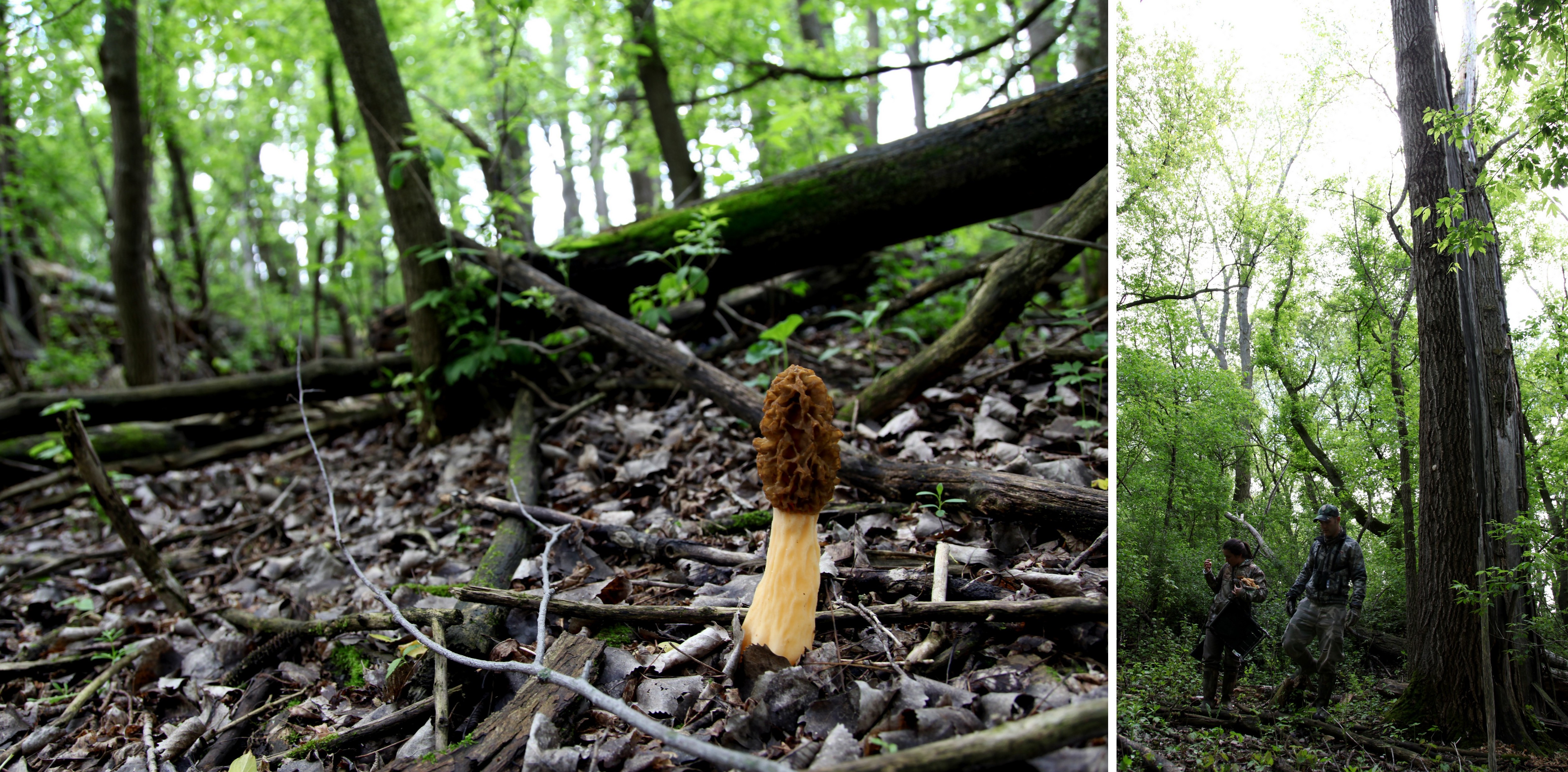
the woods
some call it a river
Topographic Map of Cherry Grove Township, MN, USA
Find elevation by address:

Places in Cherry Grove Township, MN, USA:
Places near Cherry Grove Township, MN, USA:
7910 County 11 Blvd
90045 75th Ave
MN-60, Kenyon, MN, USA
Red Wing Ave, Kenyon, MN, USA
Wasioja Township
62568 T-200
62658 T-200
Dodge Center
21209 650th St
11539 200th St E
Dane Rd, Owatonna, MN, USA
S Elm St, Claremont, MN, USA
Claremont
Dodge County
Main St, Nerstrand, MN, USA
Ashland Township
Richland Township
Cannon Falls
Main St W, Cannon Falls, MN, USA
Merton Township
Recent Searches:
- Elevation of Corso Fratelli Cairoli, 35, Macerata MC, Italy
- Elevation of Tallevast Rd, Sarasota, FL, USA
- Elevation of 4th St E, Sonoma, CA, USA
- Elevation of Black Hollow Rd, Pennsdale, PA, USA
- Elevation of Oakland Ave, Williamsport, PA, USA
- Elevation of Pedrógão Grande, Portugal
- Elevation of Klee Dr, Martinsburg, WV, USA
- Elevation of Via Roma, Pieranica CR, Italy
- Elevation of Tavkvetili Mountain, Georgia
- Elevation of Hartfords Bluff Cir, Mt Pleasant, SC, USA