Elevation of Cherokee Trail, Ohatchee, AL, USA

Location: United States > Alabama > Calhoun County > Ohatchee >

Longitude: -85.994890

Latitude: 33.8130413

Elevation: 170m / 558feet

Barometric Pressure: 99KPa

Elevation Map:

elevation map of Cherokee Trail, Ohatchee, AL, USA
Satellite Map:

Satellite map of Cherokee Trail, Ohatchee, AL, USA

Related Photos:

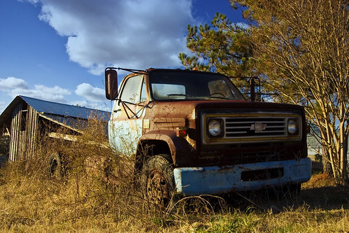
old truck canon country alabama chevy 10d canon10d
Daggum Truck
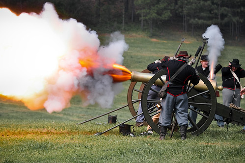
war alabama battle civil reenactment ohatchee janneyfurnace
Boom!
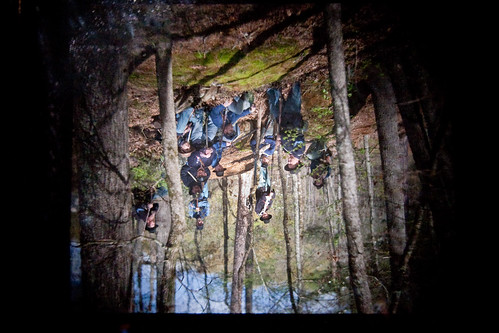
photography war alabama plate civil reenactment collodion ohatchee janneyfurnace
The view from under the curtain
red usa spring alabama strawberries 2011 ohatchee
strawberries II
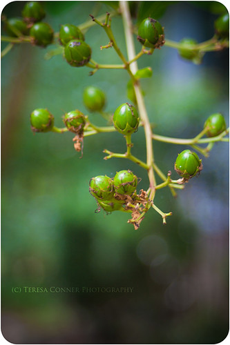
summer bokeh alabama crepemyrtle calhouncounty lagerstroemiaindica
Myrtle Buds
red usa spring alabama strawberries 2011 ohatchee
strawberries I
photography war alabama plate civil reenactment collodion ohatchee janneyfurnace
Warming the plate
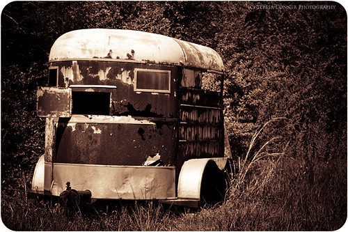
usa spring rust decay country alabama ohatchee
country decay
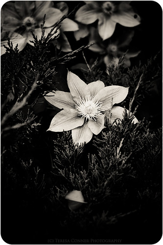
bw usa alabama clematis juniper ohatchee
clematis amongst juniper
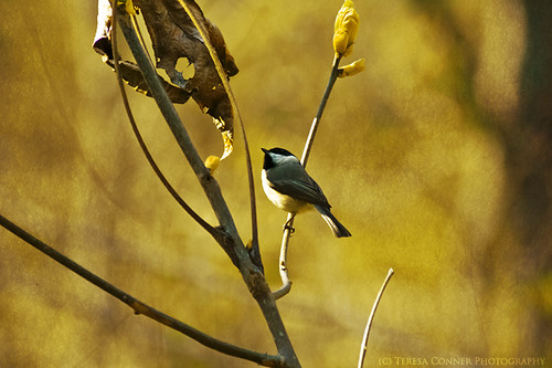
usa bird spring alabama chickadee 2011 ohatchee
black cap chickadee II
flowers usa white spring blossoms alabama dogwood 2011 ohatchee
áilleacht
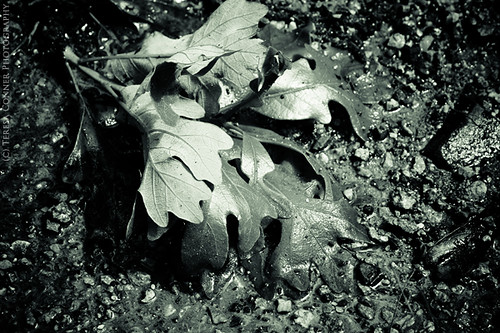
rain alabama oakleaves 2011 ohatchee
after the storm
blackandwhite history film alabama civilwar 4x5 ilford largeformat americancivilwar perceptol ohatcheealabama calhouncountyalabama ilforddeltapro100
Janney Furnace
usa spring hand purple alabama ring wisteria 2010 ohatchee
grá
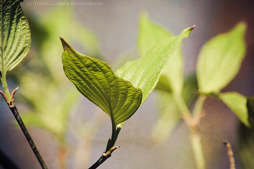
sunlight leaves spring alabama dogwood ohatchee
dogwood leaves
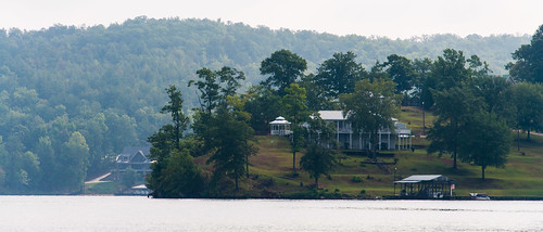
lake unitedstates alabama ohatchee d5000 hneelyhenrylake
The Nice View House
necklace books cameo janeausten prideprejudice
Netherfield Park is let at last
usa rose yellow alabama 2011 ohatchee
give sigh for sigh
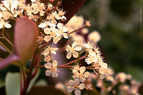
usa white spring alabama photinia 2011 ohatchee
red-tip photinia
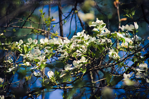
usa tree spring alabama dogwood 2011 ohatchee
dogwood bough
sunshine alabama oakleaves 2011 ohatchee
here comes the sun
trees mist fog calhouncounty mistymorning ohatcheealabama historicareas janneyfurnace lakeeli
Janney Furnace Morning
barn ruralalabama sky clouds calhouncounty cottonfieldsky
RED BARN
johnslens hipstamatic blackeysbwfilm
Backyard storm
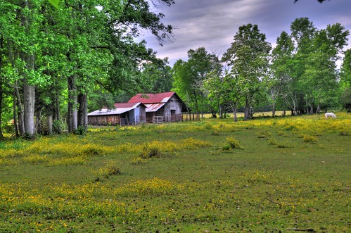
barn farm ruralalabama calhouncountyalabama wellingtonalabama
Wellington Barn
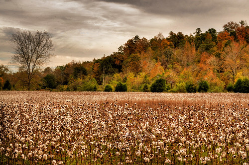
autumn farm cotton crop agriculture hdr cottonfield calhouncounty jacksonvillealabama kingcotton highcotton ruralalabama cottonpatch wellingtonalabama alabamacrops
Cotton Patch
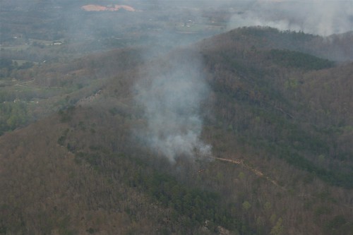
2011 03 Jay Flight 145.JPG
2011 03 Jay Flight 147.JPG
lake unitedstates alabama d5000 hneelyhenrylake
H Neely Henry Lake
IMAGE_9BC71865-901E-4974-9FB0-E03D1723F616.JPG
IMAGE_208782C2-D78E-42B4-9FDF-A02F0277C128.JPG
IMAGE_000E2877-4BDB-445C-9C71-6CABC00E7667.JPG
IMAGE_0E3CF714-0A86-495C-B890-66D84C1C9EAD.JPG
IMAGE_5F302C6B-25A0-4096-B83B-E612A4532069.JPG
IMAGE_B4C5CC1B-A738-4132-BDBA-F1527EC536CB.JPG
IMAGE_57B1C432-E13F-4C4F-8381-123B59AEFB3F.JPG
IMAGE_DD66474B-B113-4597-B0E2-641A08EABD54.JPG
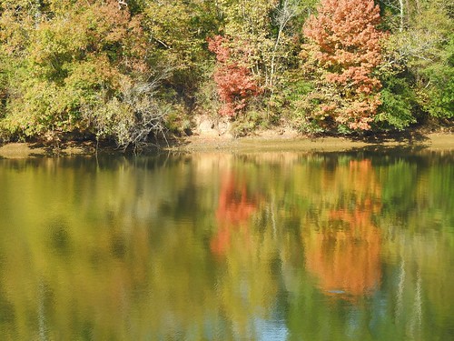
Fall on the River