Elevation of Chemin Hurley, Hemmingford, QC J0L 1H0, Canada
Location: Canada > Québec > Les Jardins-de-napierville Regional County Municipality > Hemmingford > Hemmingford >
Longitude: -73.634533
Latitude: 45.0722692
Elevation: 72m / 236feet
Barometric Pressure: 100KPa
Elevation Map:
Satellite Map:
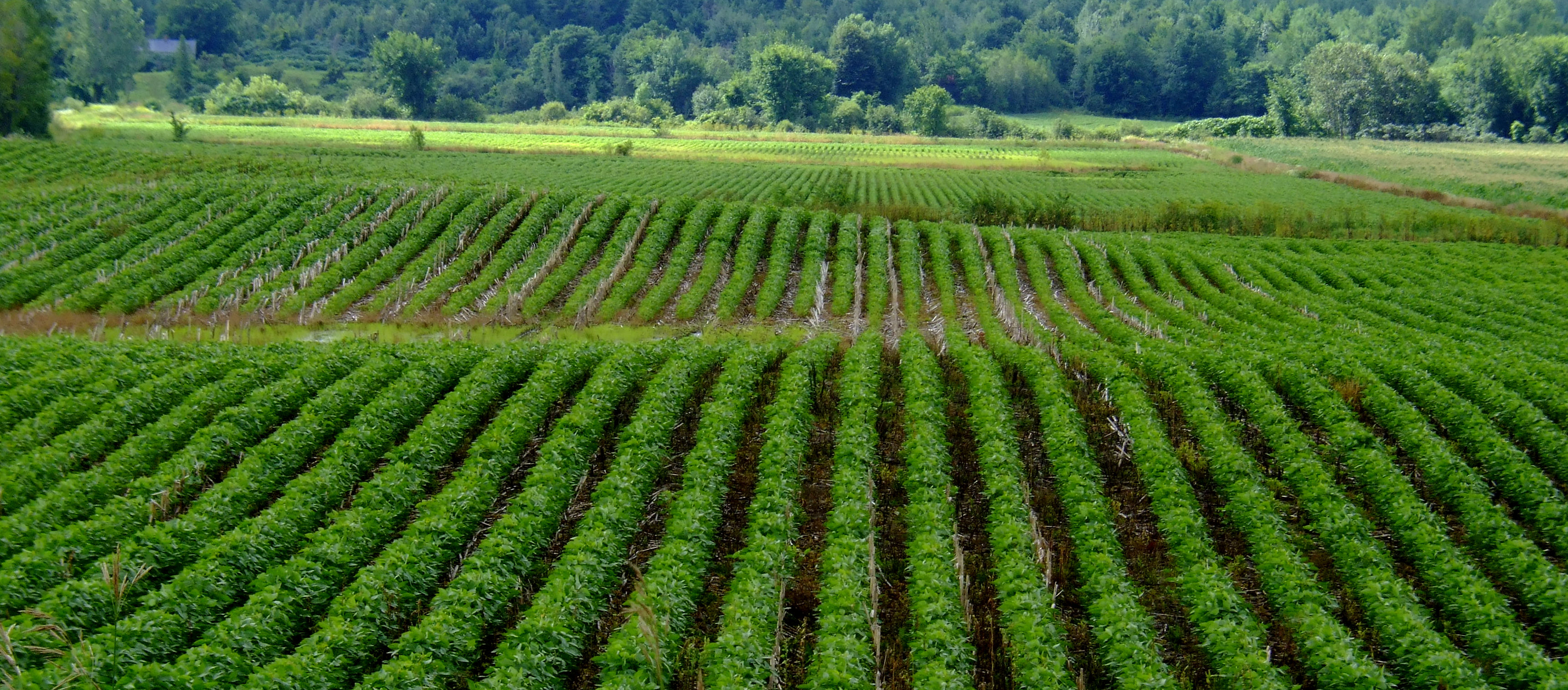
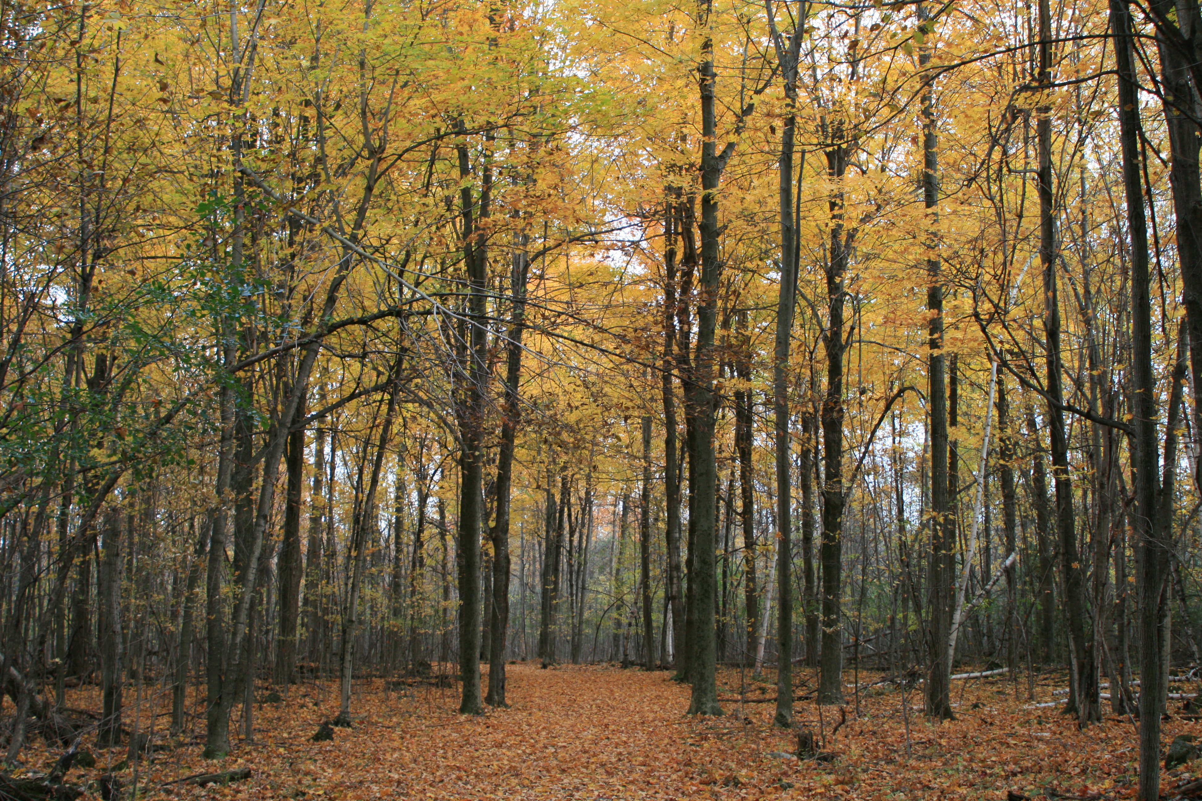
Related Photos:

Dessin géométrique en acier structural

Duty Free Store - Boutique Hors Taxes

White-tailed Deer

Rivière des anglais

Parc Safari

La rivière des Anglais drapée d'ocre

Au Camping

Au camping

Au camping

Modern maple syrup tapping

Norton Creek Road

Abandoned house

La lumière au bout du bocage...

Sugar Shack

Chez Charles

Modern maple syrup tapping
Vague végétale
IMG_7748.JPG

IMG_7744.JPG

Where I used to play

Saint-Michel, Québec

The Old Oak

Wooden American Flag
Topographic Map of Chemin Hurley, Hemmingford, QC J0L 1H0, Canada
Find elevation by address:

Places near Chemin Hurley, Hemmingford, QC J0L 1H0, Canada:
Hemmingford
234 Qc-219
Hemmingford
144 Qc-219
162 Chemin De Covey Hill
578 Chemin Brownlee
Les Jardins-de-napierville Regional County Municipality
Montée Kenny, Hemmingford, QC J0L 1H0, Canada
Aph Cabinets
Rue Notre Dame, Saint-Chrysostome, QC J0S 1R0, Canada
Saint-chrysostome
Saint-patrice-de-sherrington
Havelock
Covey Hill
482 Rang Saint-michel
482 Rang Saint-michel
482 Rang Saint-michel
Chemin De Covey Hill
Aubrey
99 Rang Saint-antoine
Recent Searches:
- Elevation of Corso Fratelli Cairoli, 35, Macerata MC, Italy
- Elevation of Tallevast Rd, Sarasota, FL, USA
- Elevation of 4th St E, Sonoma, CA, USA
- Elevation of Black Hollow Rd, Pennsdale, PA, USA
- Elevation of Oakland Ave, Williamsport, PA, USA
- Elevation of Pedrógão Grande, Portugal
- Elevation of Klee Dr, Martinsburg, WV, USA
- Elevation of Via Roma, Pieranica CR, Italy
- Elevation of Tavkvetili Mountain, Georgia
- Elevation of Hartfords Bluff Cir, Mt Pleasant, SC, USA