Elevation of Chemin du Lac la Motte, Saint-Mathieu-d'Harricana, QC J0Y 1M0, Canada
Location: Canada > Québec > Abitibi Regional County Municipality > La Motte > La Motte >
Longitude: -78.106132
Latitude: 48.3569906
Elevation: 302m / 991feet
Barometric Pressure: 98KPa
Elevation Map:
Satellite Map:
Related Photos:
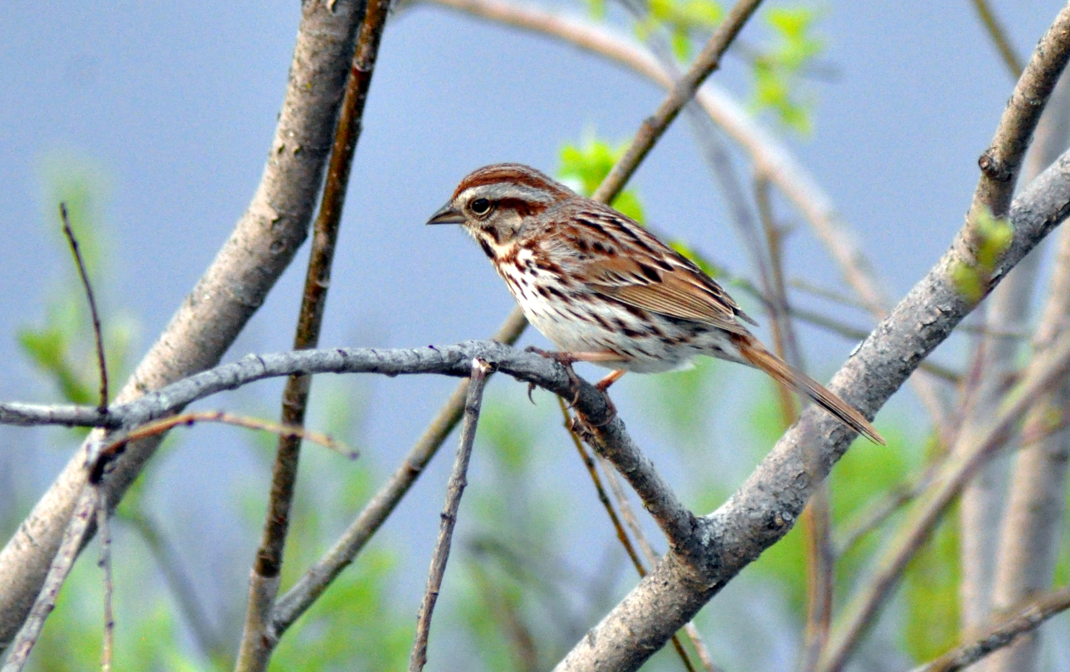
Bruant chanteur / Song Sparrow / Melospiza melodia
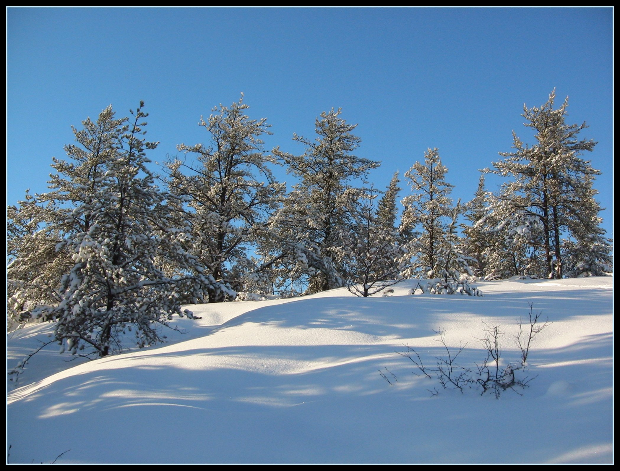
Paysage d'hiver / Winter landscape (2)
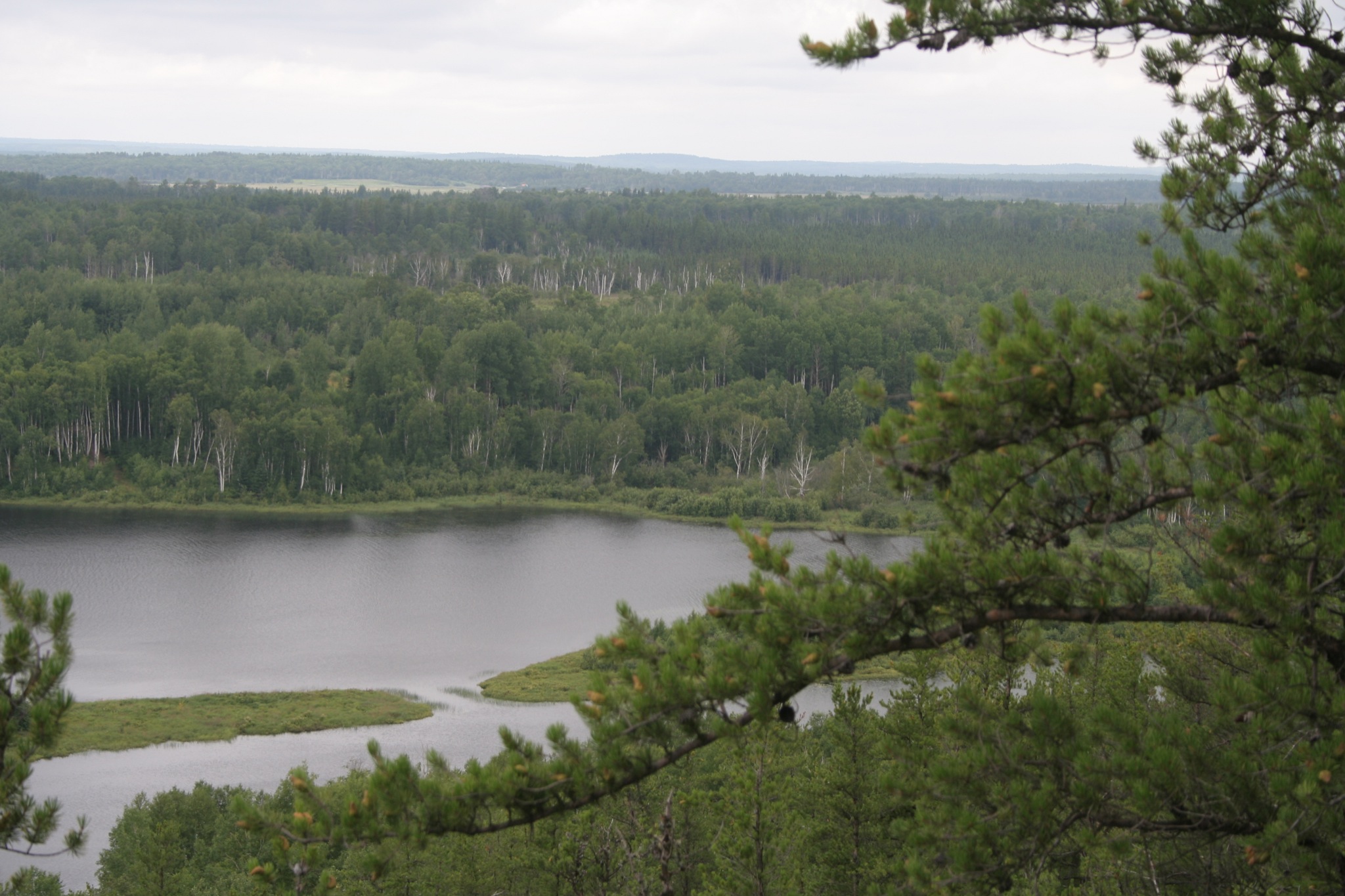
Lac Laflamme
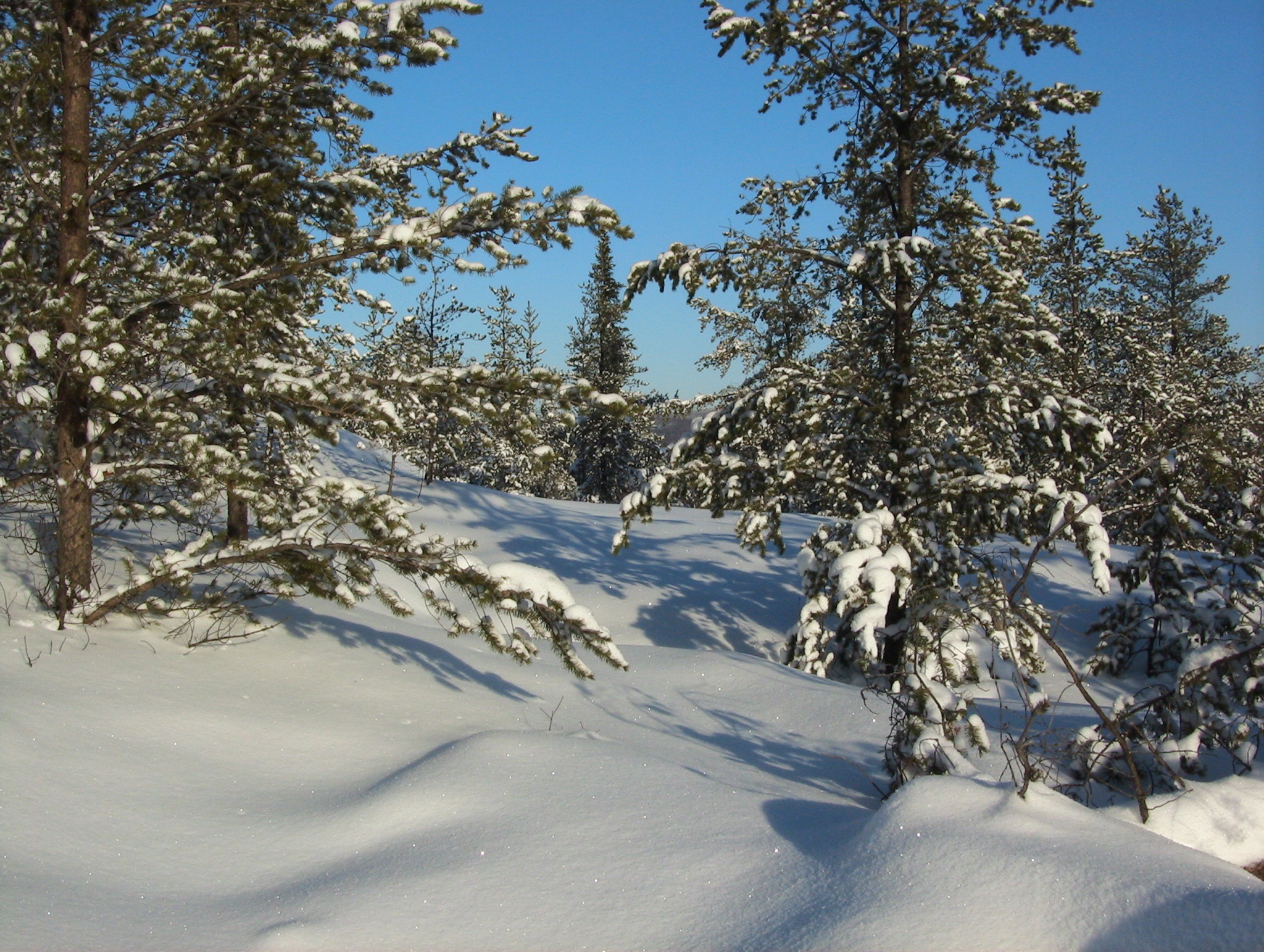
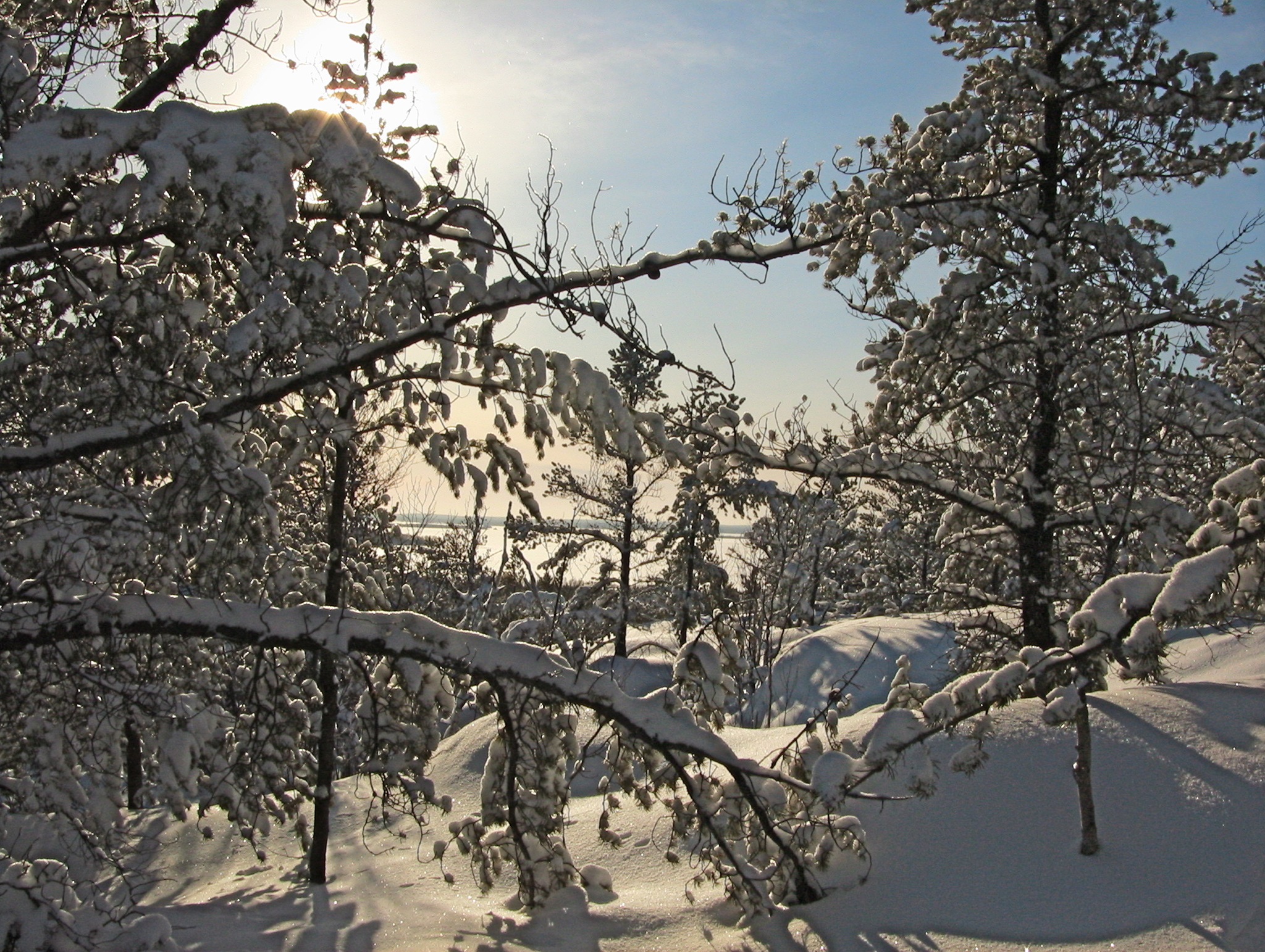
Paysage d'hiver / Winter landscape (1)
Paysage d'hiver / Winter landscape (3)

Sentier des belvédaires

La Motte Québec 2007

The other left please !!!
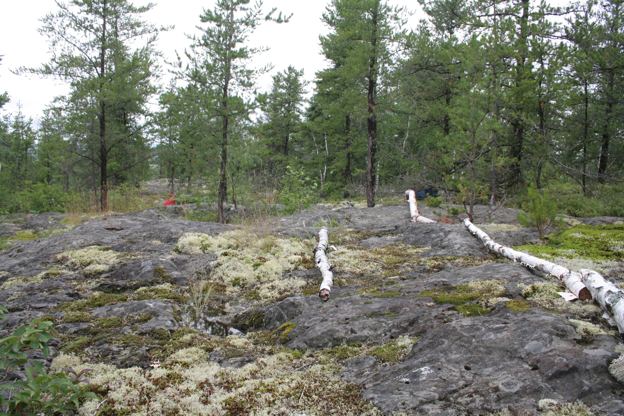
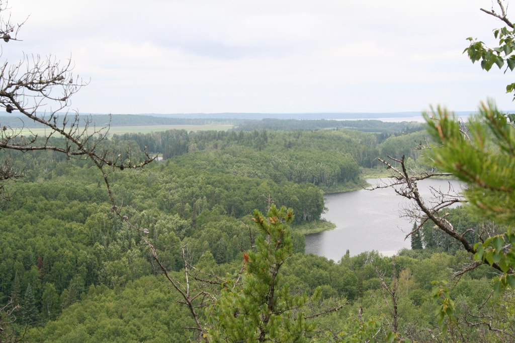
Sentier des belvédaires
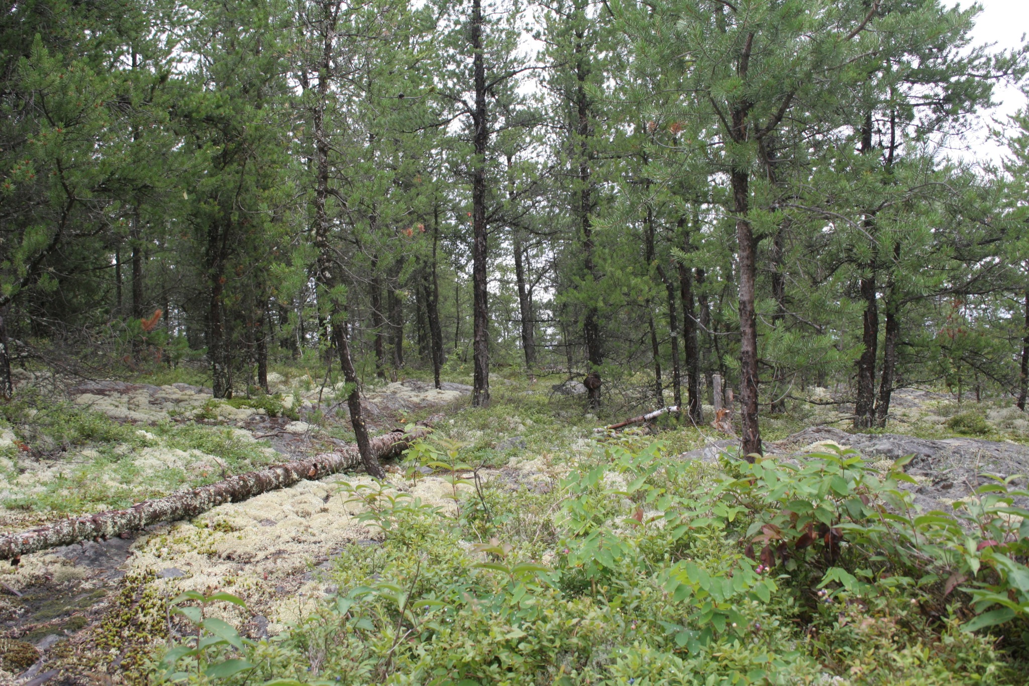
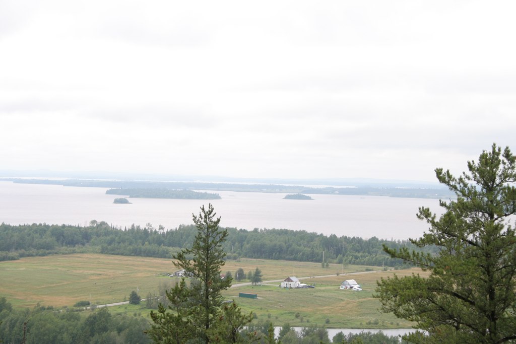
Sentier des belvédaires
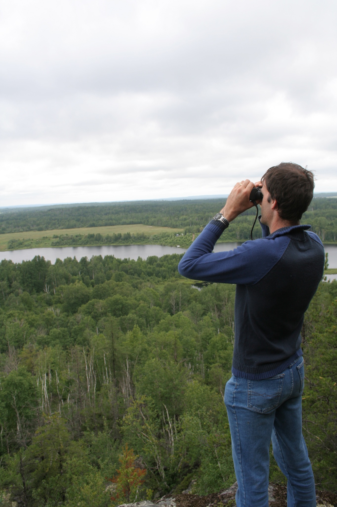
Le Roy de la montagne
Lac Simard
IMG_7545.JPG
Au revoir! / I'm gone!
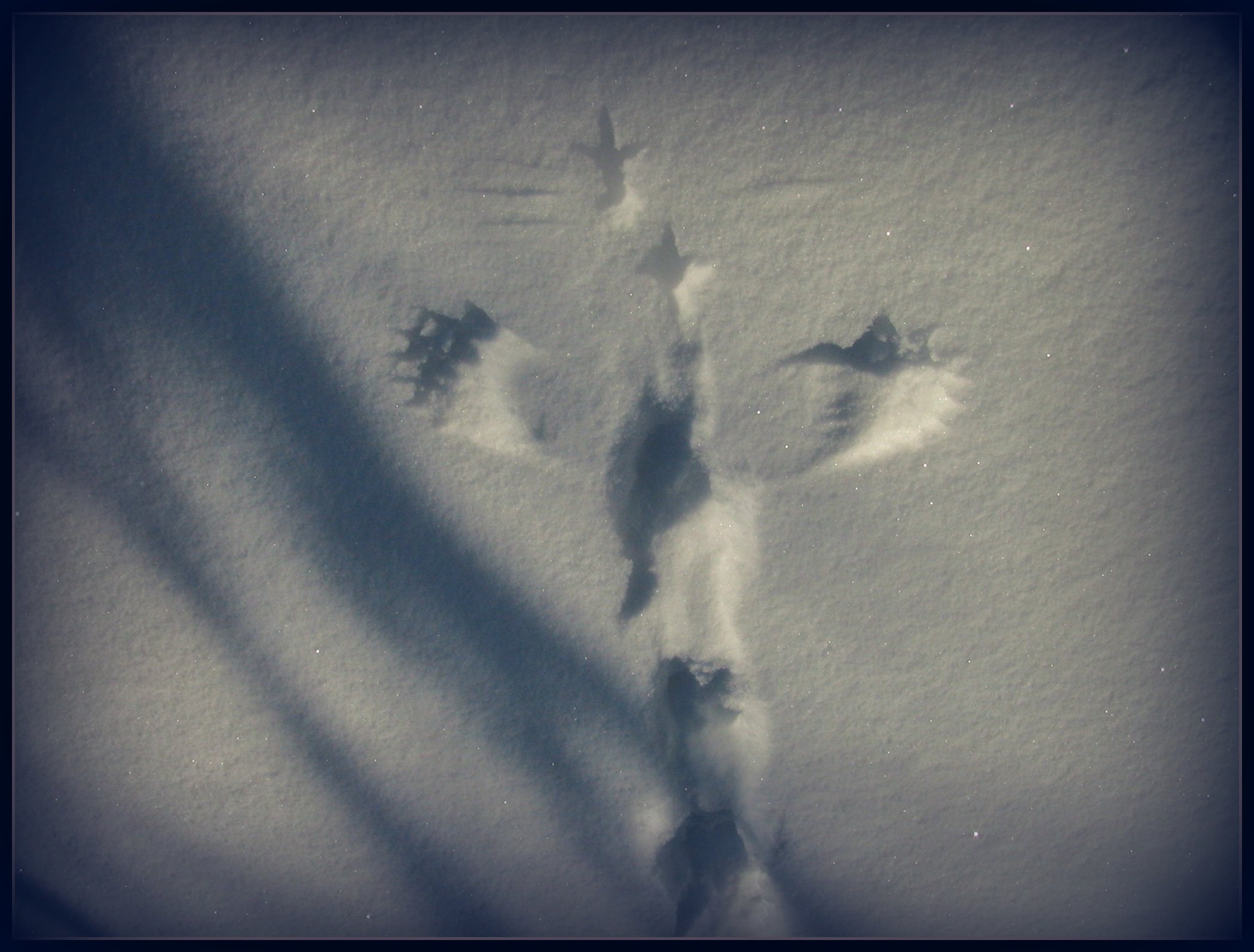
Ombres / Shadows
Topographic Map of Chemin du Lac la Motte, Saint-Mathieu-d'Harricana, QC J0Y 1M0, Canada
Find elevation by address:

Places near Chemin du Lac la Motte, Saint-Mathieu-d'Harricana, QC J0Y 1M0, Canada:
La Motte
La Motte
Saint-mathieu-d'harricana
Saint-marc-de-figuery
QC-, Saint-Marc-de-Figuery, QC J0Y 1J0, Canada
Saint-marc-de-figuery
11 Chemin Des Sablières
Chemin de Vassan, Val-d'Or, QC J9P 0C1, Canada
Amos
622 4e Rue O
Abitibi Regional County Municipality
Val-d'or
Barraute
Lac-joannès
Avenue Larivière, Rouyn-Noranda, QC J9Y 0G3, Canada
Senneterre
Senneterre
Senneterre
Senneterre
Senneterre
Recent Searches:
- Elevation of Corso Fratelli Cairoli, 35, Macerata MC, Italy
- Elevation of Tallevast Rd, Sarasota, FL, USA
- Elevation of 4th St E, Sonoma, CA, USA
- Elevation of Black Hollow Rd, Pennsdale, PA, USA
- Elevation of Oakland Ave, Williamsport, PA, USA
- Elevation of Pedrógão Grande, Portugal
- Elevation of Klee Dr, Martinsburg, WV, USA
- Elevation of Via Roma, Pieranica CR, Italy
- Elevation of Tavkvetili Mountain, Georgia
- Elevation of Hartfords Bluff Cir, Mt Pleasant, SC, USA