Elevation of Chemin de la Plage, Otter Lake, QC J0X 2P0, Canada
Location: Canada > Québec > Pontiac Regional County Municipality > Leslie-clapham-et-huddersfield > Otter Lake >
Longitude: -76.378940
Latitude: 45.9842736
Elevation: 236m / 774feet
Barometric Pressure: 99KPa
Elevation Map:
Satellite Map:
Related Photos:
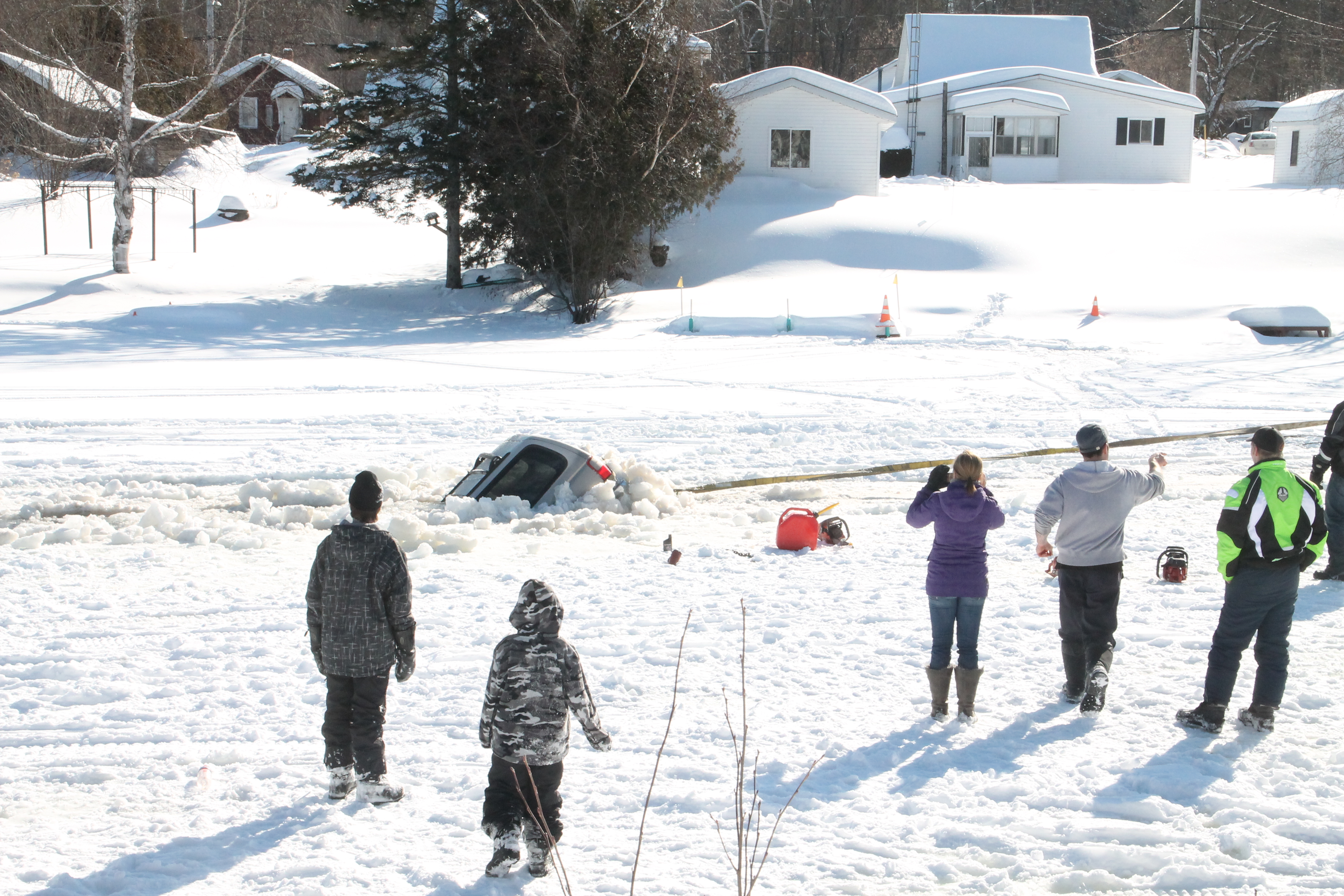
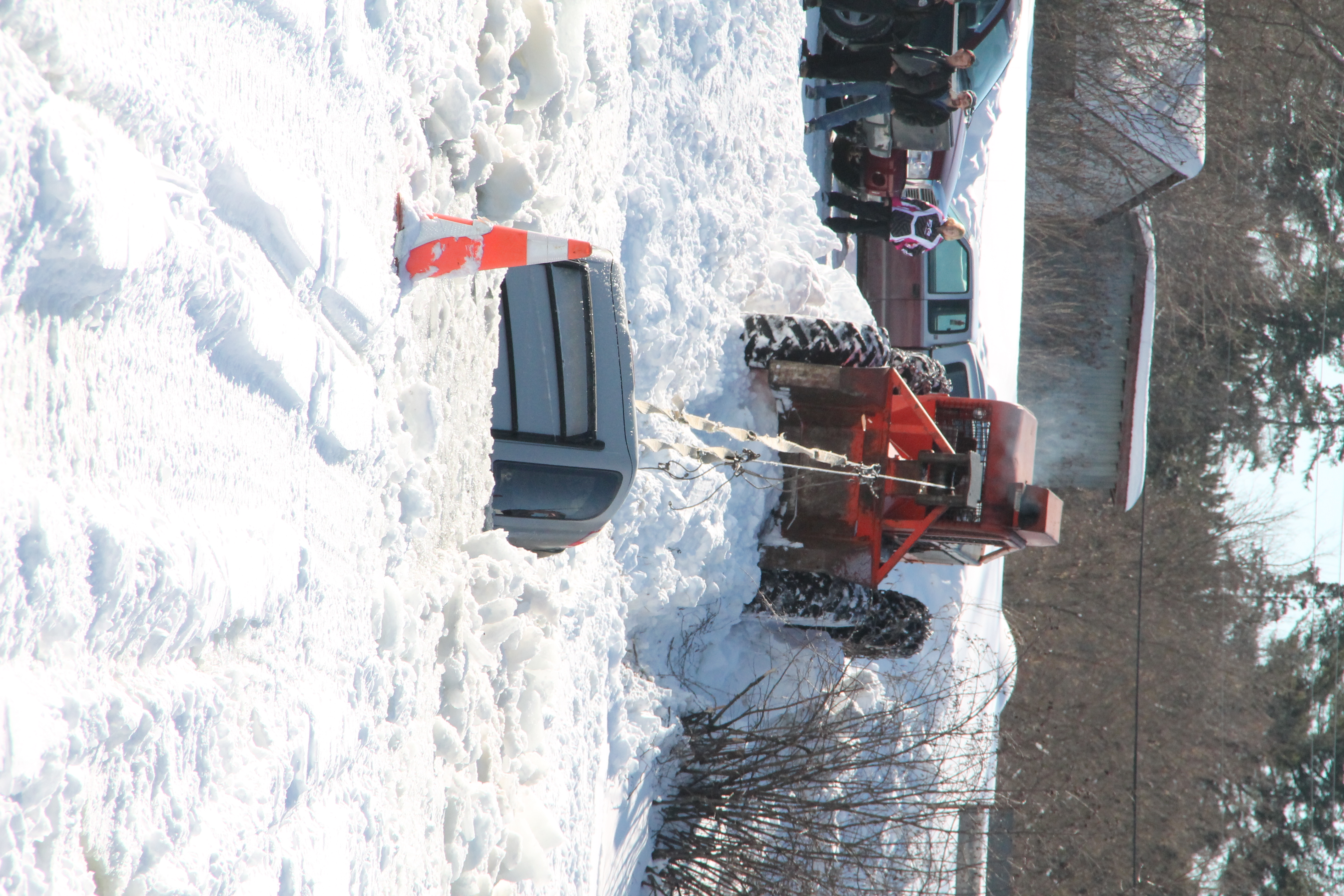
its a pathfinder not a fish finder
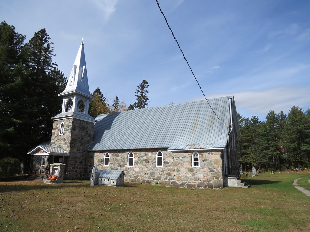
St. James Anglican Church in Otter Lake, Quebec
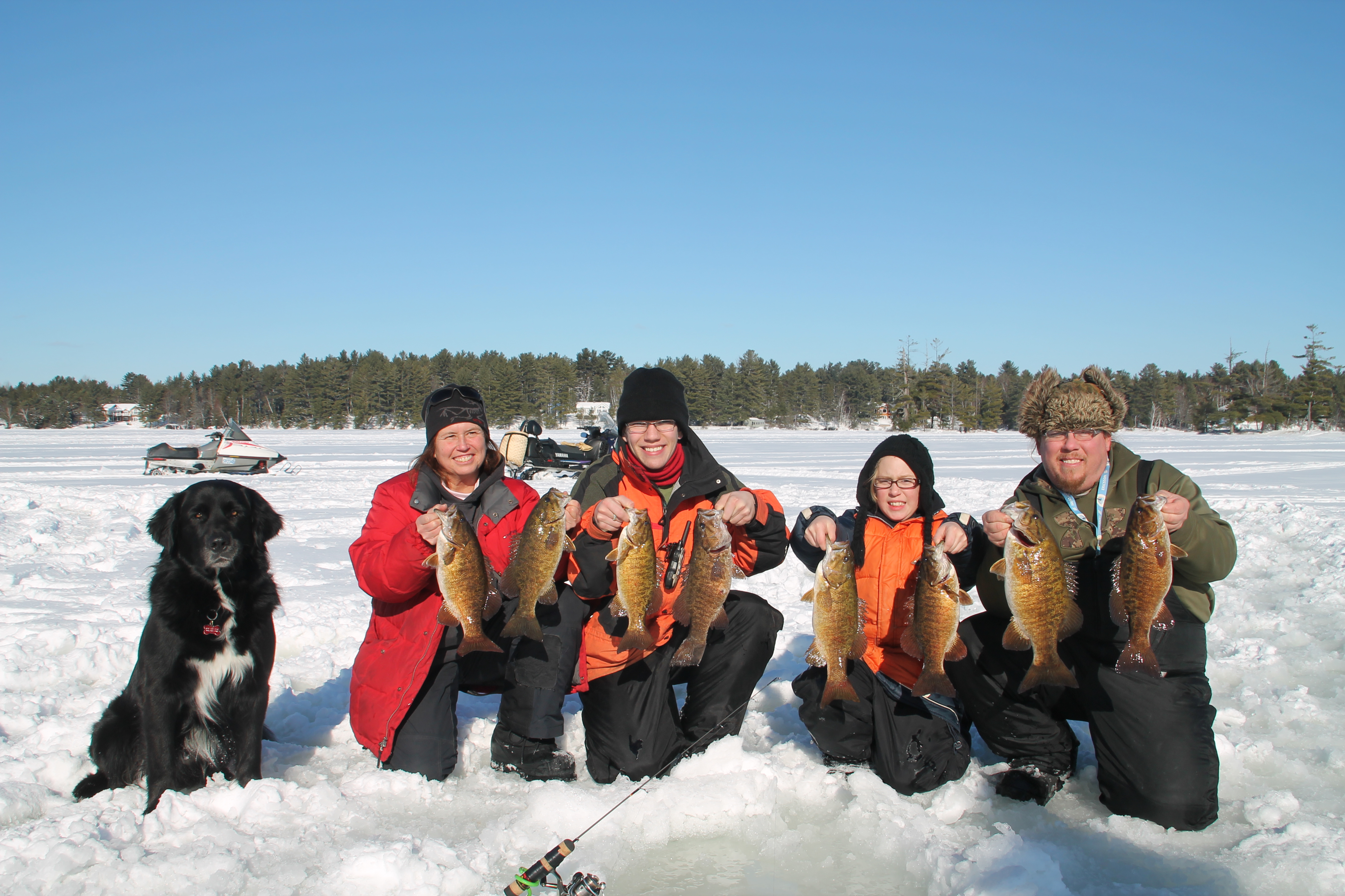
family fun fishing
its a pathfinder not a fish finder

its a pathfinder not a fish finder

its a pathfinder not a fish finder

its a pathfinder not a fish finder
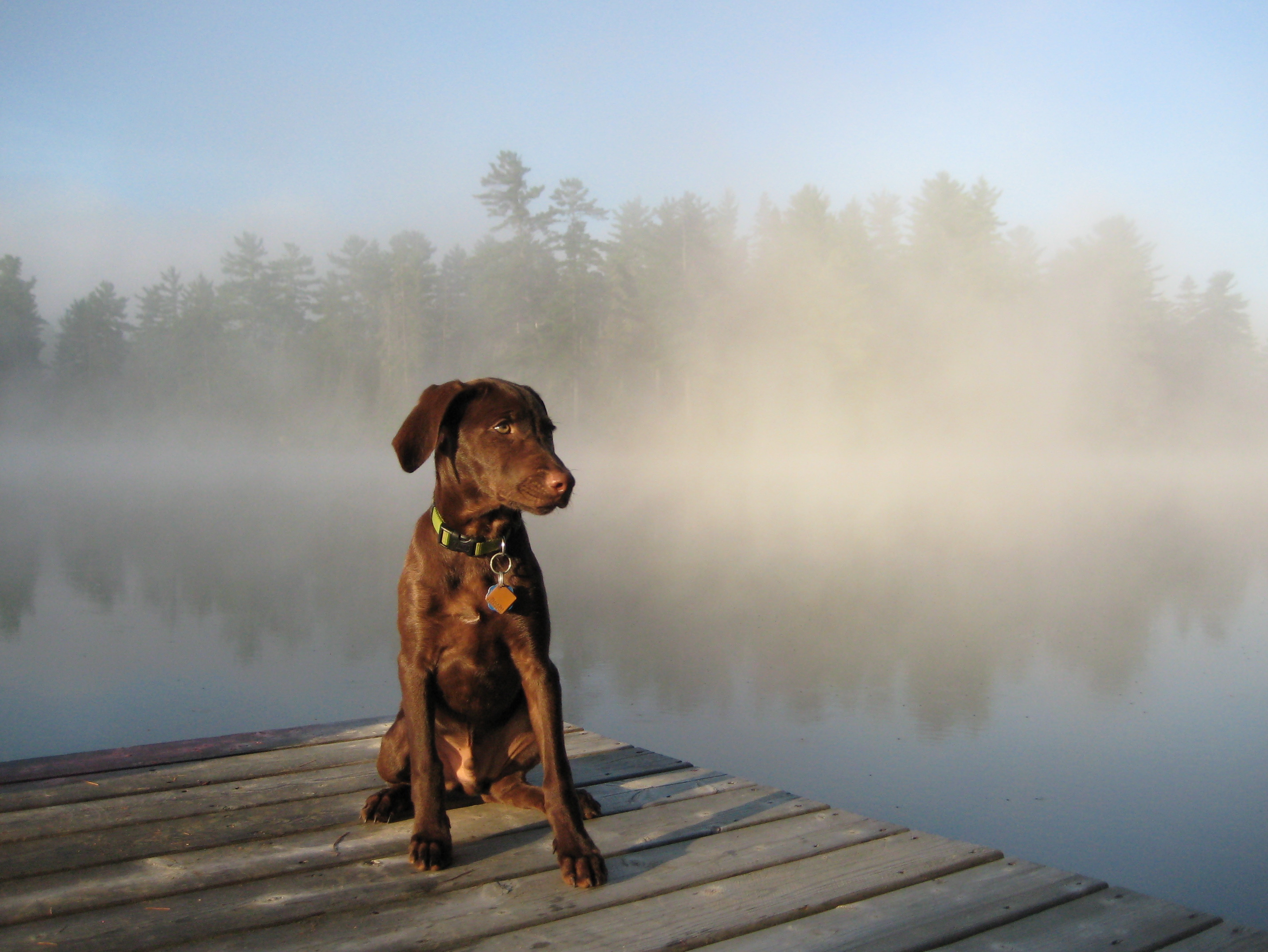
Finnegan at Otter Lake
DSC00915-1
DSC00911-2
DSC00913-1
DSC00841-1
DSC00842-1

DSC00823-2
DSC00834-1
DSC00813-2
DSC00790-1
DSC00778-1
DSC00791-1
DSC00792-1
DSC00789-1
Topographic Map of Chemin de la Plage, Otter Lake, QC J0X 2P0, Canada
Find elevation by address:

Places near Chemin de la Plage, Otter Lake, QC J0X 2P0, Canada:
J0x 2p0
Leslie-clapham-et-huddersfield
Otter Lake
Avenue Martineau, Otter Lake, QC J0X 2P0, Canada
Chemin Duval
28 Chemin Leslie
Chemin Du Bois Franc
Lac-cayamant
40 Chemin Sparling, Campbell's Bay, QC J0X 1K0, Canada
Leslie Lake
562 Chemin Du Lac Cayamant
562 Chemin Du Lac Cayamant
Thorne
Cayamant
Thorne
Ch Du Lac Aux Cerises
145 Chemin Du Lac Danford E
100 Chemin Jingletown
Litchfield
810 Chemin De La Chute
Recent Searches:
- Elevation of Corso Fratelli Cairoli, 35, Macerata MC, Italy
- Elevation of Tallevast Rd, Sarasota, FL, USA
- Elevation of 4th St E, Sonoma, CA, USA
- Elevation of Black Hollow Rd, Pennsdale, PA, USA
- Elevation of Oakland Ave, Williamsport, PA, USA
- Elevation of Pedrógão Grande, Portugal
- Elevation of Klee Dr, Martinsburg, WV, USA
- Elevation of Via Roma, Pieranica CR, Italy
- Elevation of Tavkvetili Mountain, Georgia
- Elevation of Hartfords Bluff Cir, Mt Pleasant, SC, USA