Elevation of Cheese Hill Rd, Preston Hollow, NY, USA
Location: United States > New York > Albany County > Rensselaerville > Preston-potter Hollow > Preston Hollow >
Longitude: -74.215530
Latitude: 42.479099
Elevation: 559m / 1834feet
Barometric Pressure: 95KPa
Elevation Map:
Satellite Map:
Related Photos:

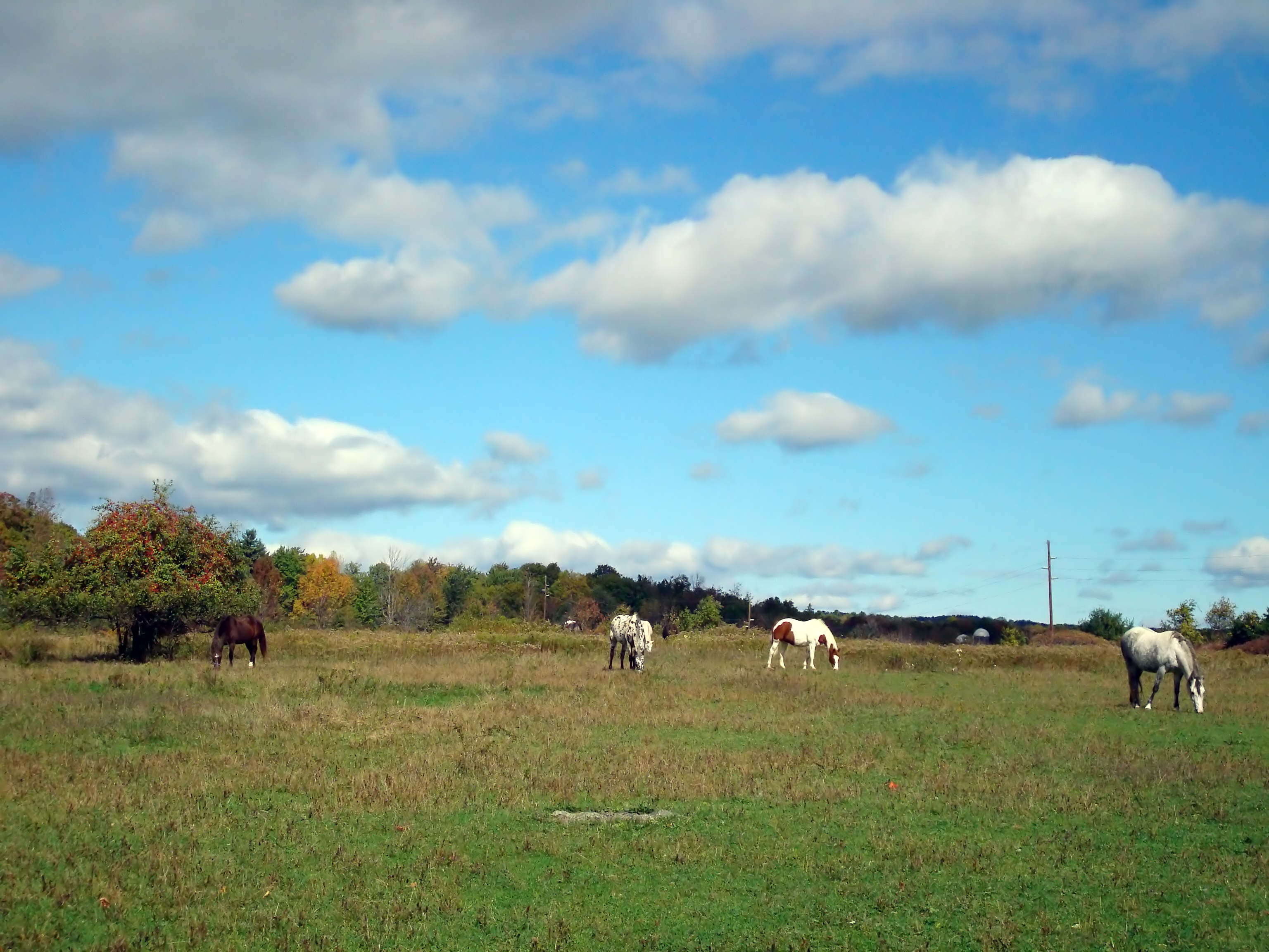
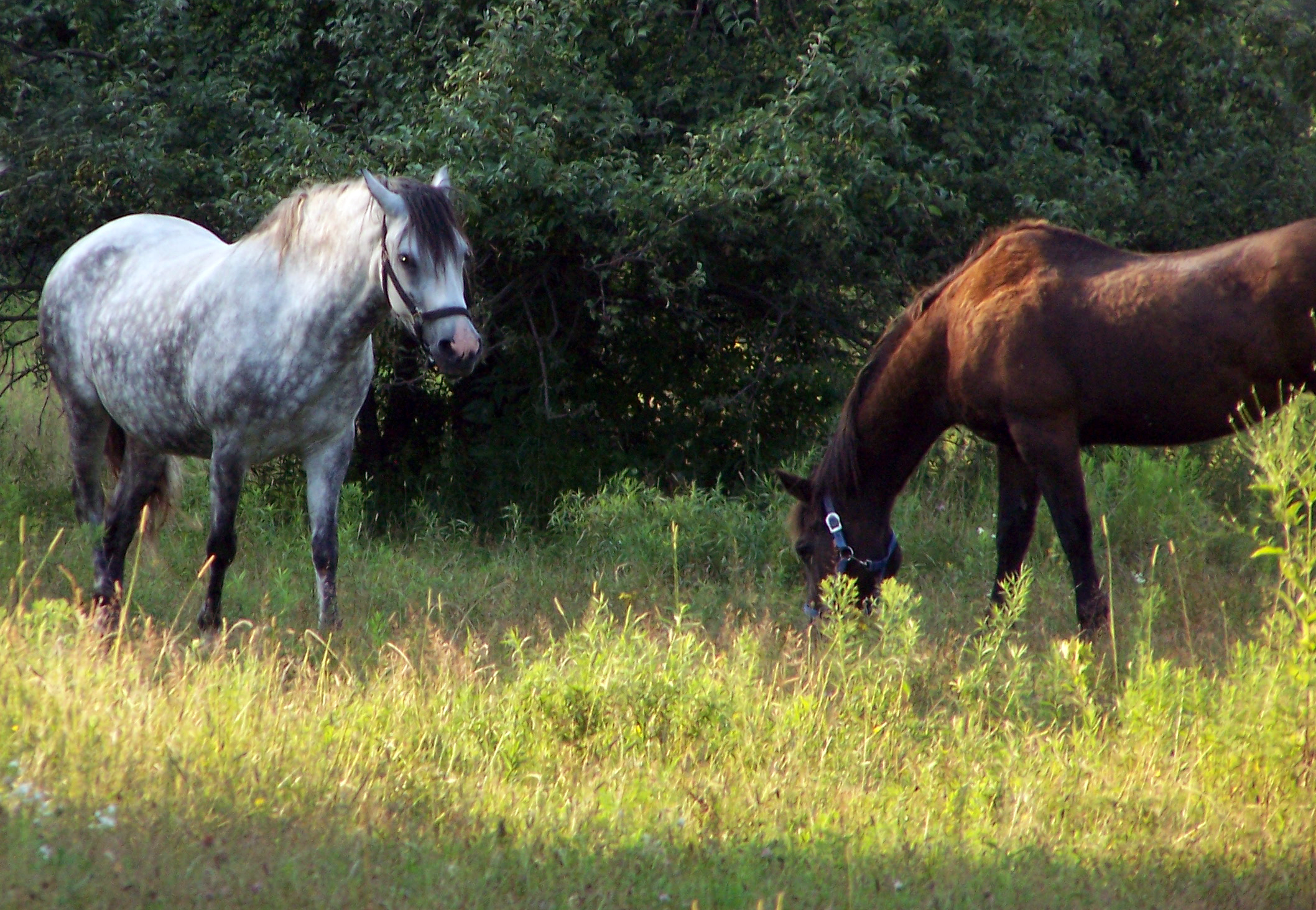
lone tree with catskills
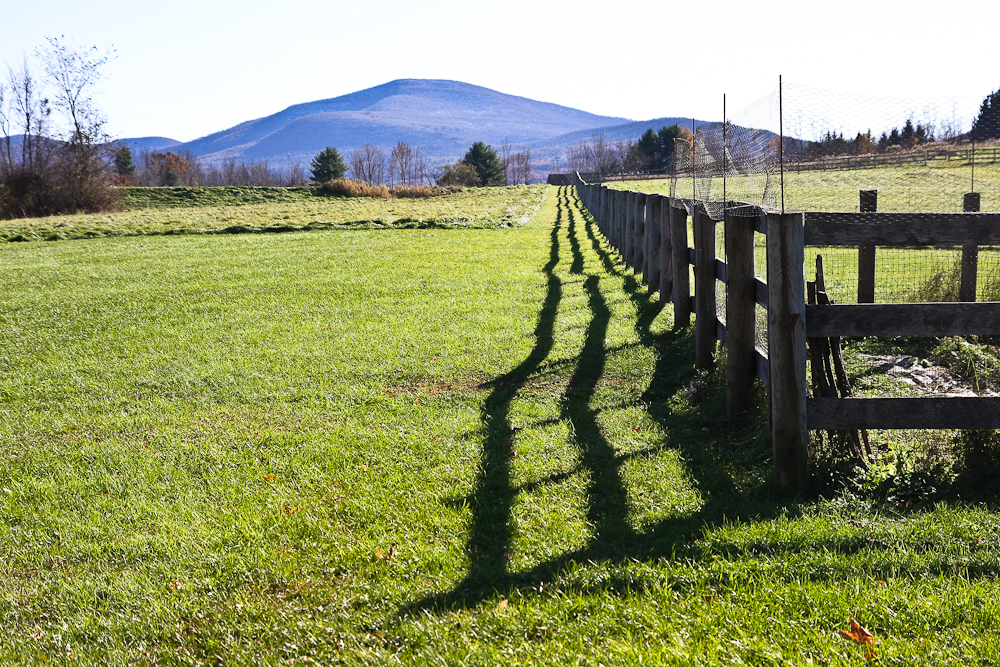
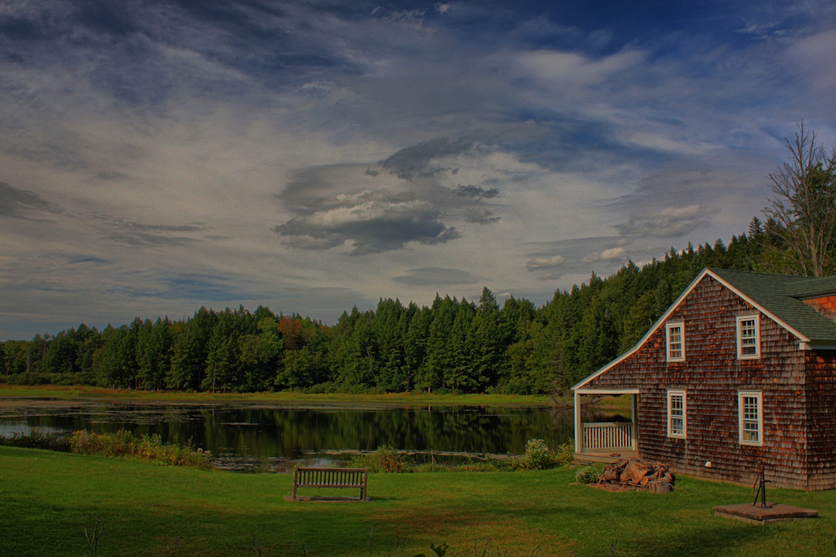
The View

"One of the risks of appearing in public is the likelihood of being photographed."

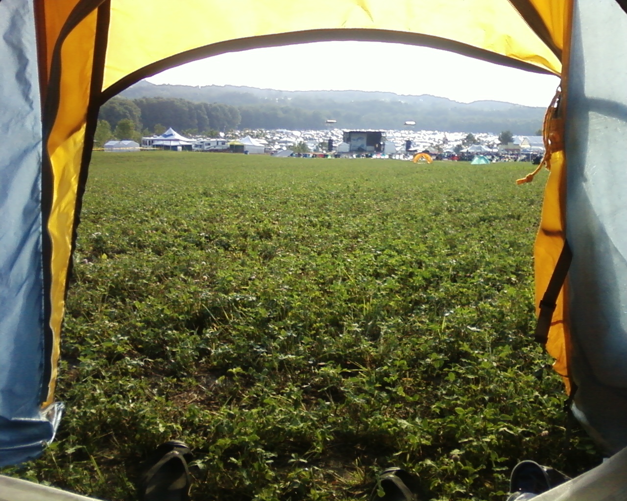
View from the Bobolink Pond trailhead

Looking Down at Switzkill Valley
My View
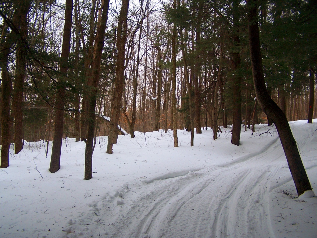
Snowmobile Trail Climbs Henry Hill

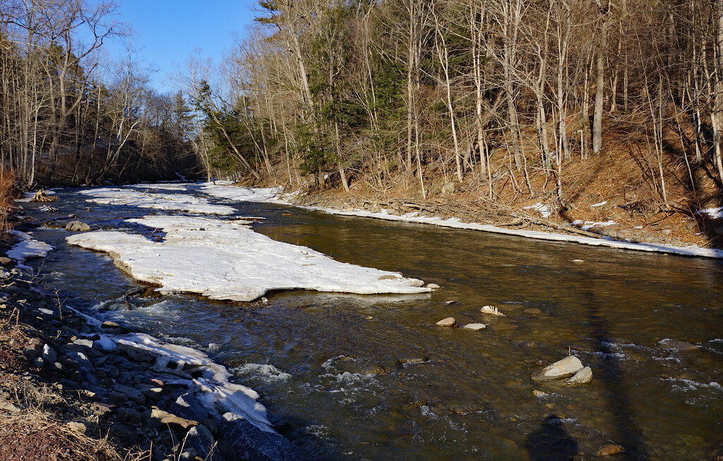
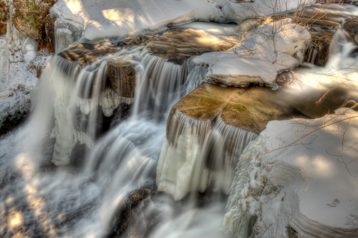
Sedimentary ice
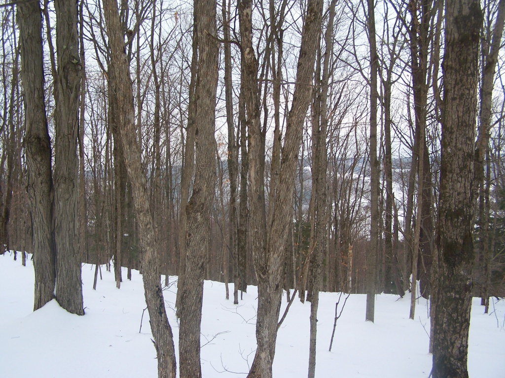
Looking Down at Switzkill Valley at Partridge Run WMA. There are broken views along this unpacked snowmobile trail of the Switzkill Valley as I tromped through deep snow towards The Gulf.
South Mountain Clear Cut

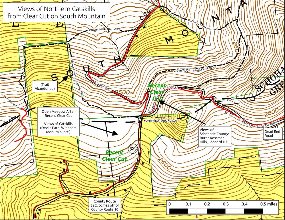
View Towards Clearing
Broken Views As You Climb
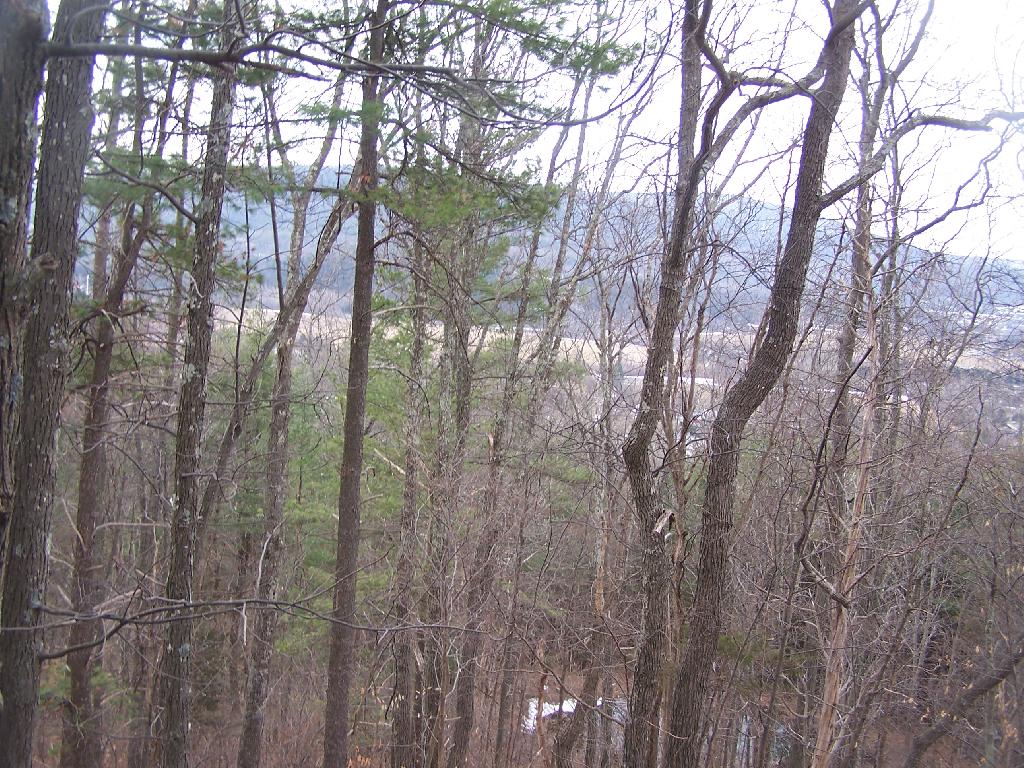
Cliff of Middleberg

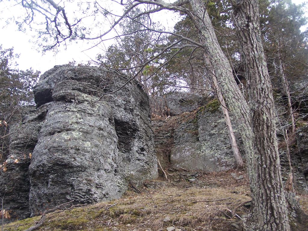
View from the overlook
View South After First Ledge
Schoharie-07
Last view

Water Power
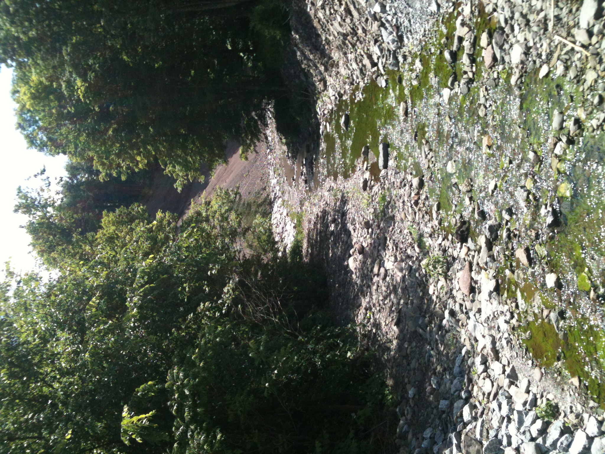
Ten Mile Creek

Beaver Dam
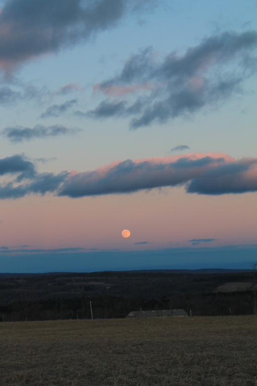
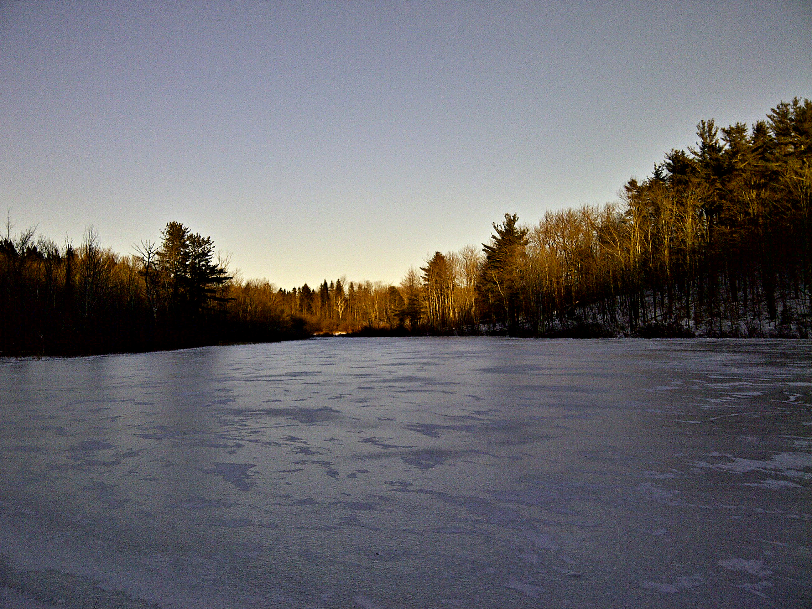
Moon Rising

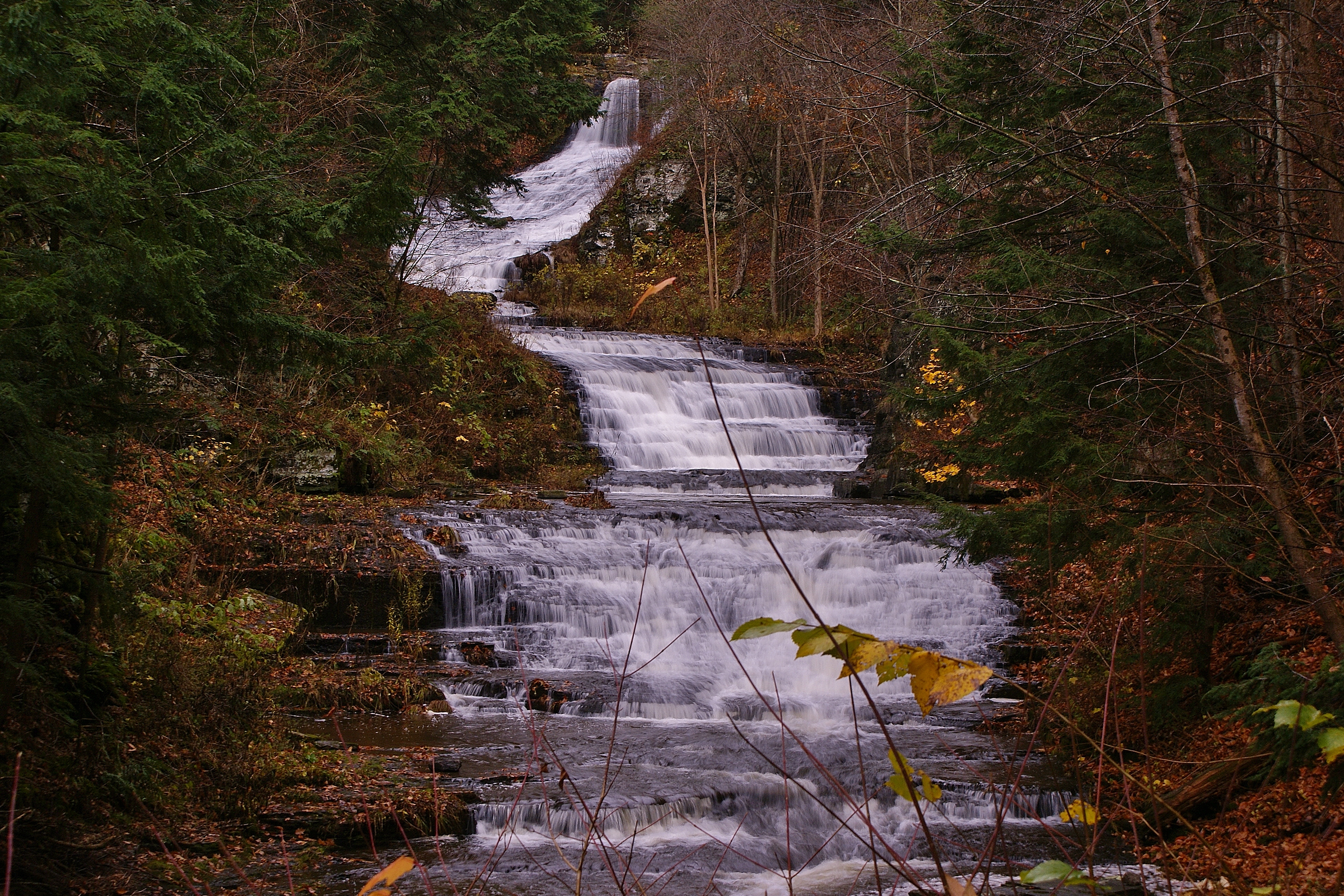
Upper Rensselaerville Falls

Mystery bias

Middle Rensselaerville Falls

Gilboa, NY
October 14, 2007
Rensselaerville Falls - Top

Lower Rensselaerville Falls

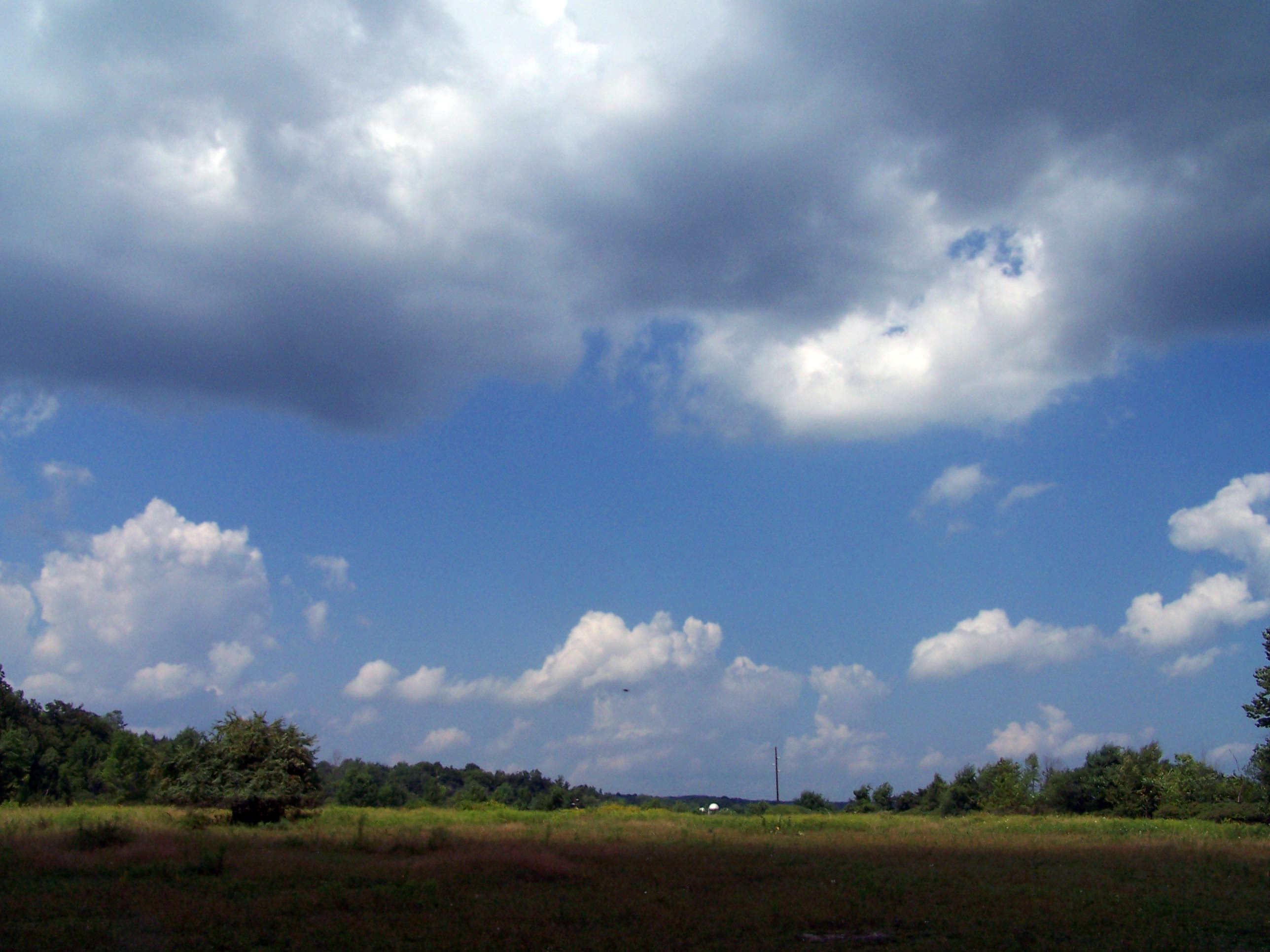
Cloudy Day
August 8, 2007

Catskill Drive
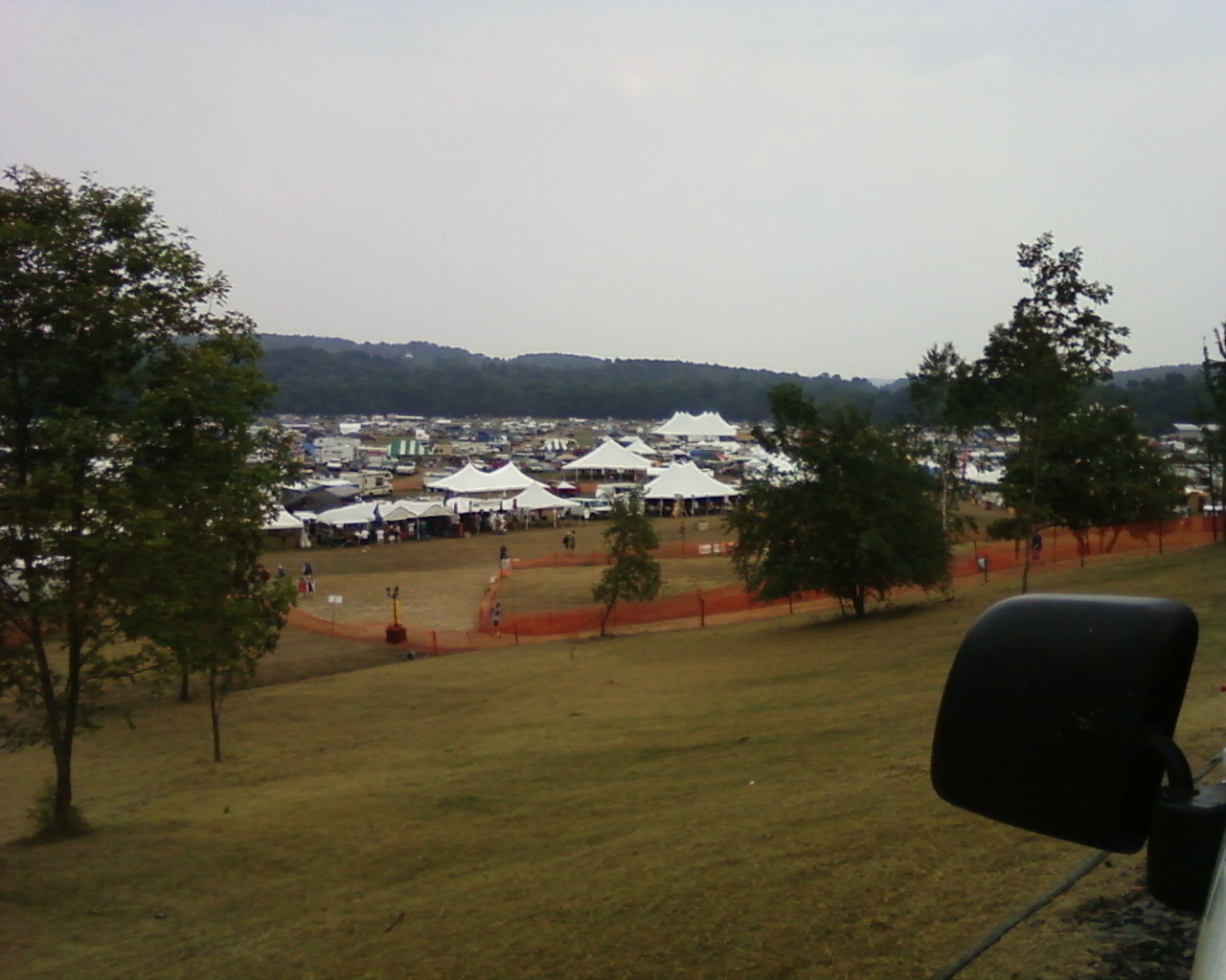
Partridge Run
August 1, 2007
Pond in HDR
Huyck Preserve Falls

Rensselaerville Falls
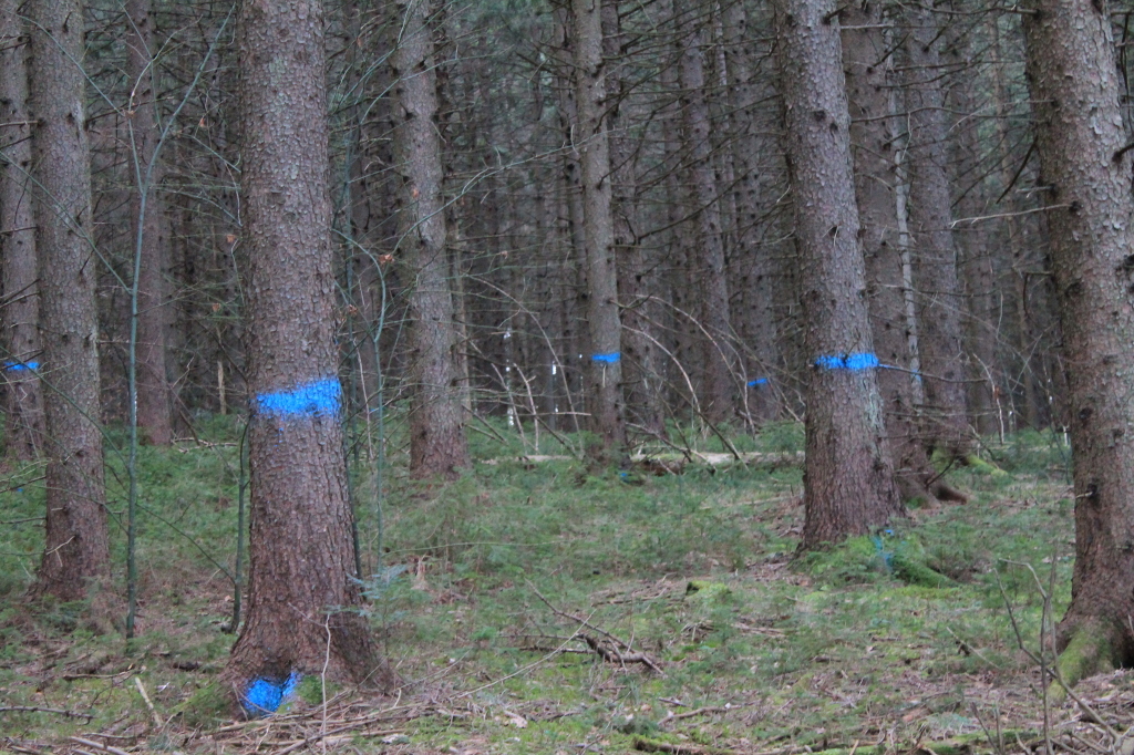
Timber to Be Cut
Topographic Map of Cheese Hill Rd, Preston Hollow, NY, USA
Find elevation by address:

Places near Cheese Hill Rd, Preston Hollow, NY, USA:
756 Travis Hill Rd
101 Pearson Rd
12 School House Ln
Preston Hollow
NY-, Preston Hollow, NY, USA
31 Church Rd
28 S Shore Rd
28 S Shore Rd
143 Gulf Rd
227 Smith Rd
243 Gulf Rd
143 Gulf Rd
Cook Road
Preston-potter Hollow
118 Edwards Hill Rd
423 Co Rd 10
Livingstonville
440 Co Rd 10
Potter Hollow Rd, Preston Hollow, NY, USA
111 Camp Winsoki Rd
Recent Searches:
- Elevation of Corso Fratelli Cairoli, 35, Macerata MC, Italy
- Elevation of Tallevast Rd, Sarasota, FL, USA
- Elevation of 4th St E, Sonoma, CA, USA
- Elevation of Black Hollow Rd, Pennsdale, PA, USA
- Elevation of Oakland Ave, Williamsport, PA, USA
- Elevation of Pedrógão Grande, Portugal
- Elevation of Klee Dr, Martinsburg, WV, USA
- Elevation of Via Roma, Pieranica CR, Italy
- Elevation of Tavkvetili Mountain, Georgia
- Elevation of Hartfords Bluff Cir, Mt Pleasant, SC, USA