Elevation of Chauvin, LA, USA
Location: United States > Louisiana > Terrebonne Parish > >
Longitude: -90.595365
Latitude: 29.4385529
Elevation: 1m / 3feet
Barometric Pressure: 101KPa
Elevation Map:
Satellite Map:
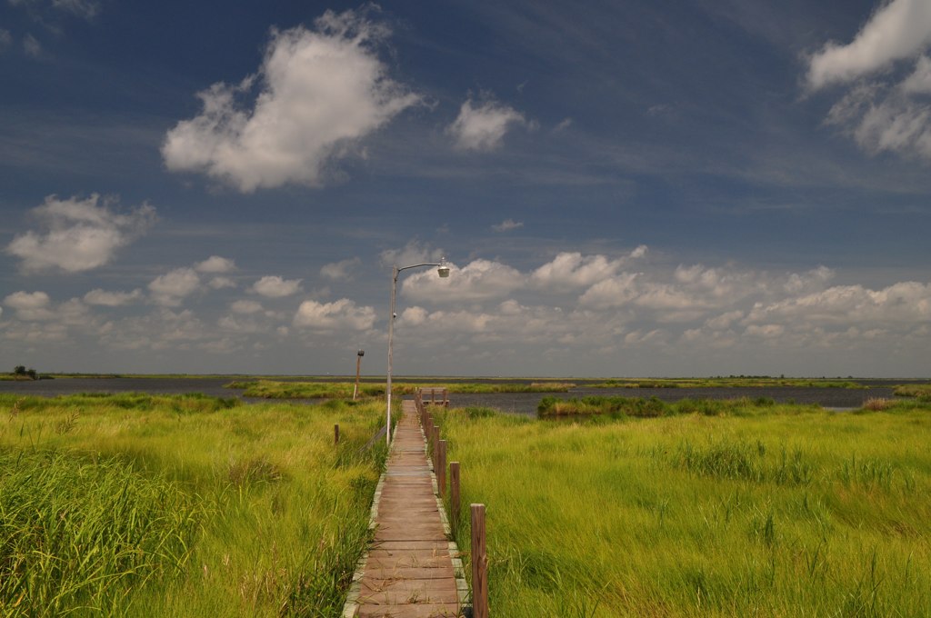
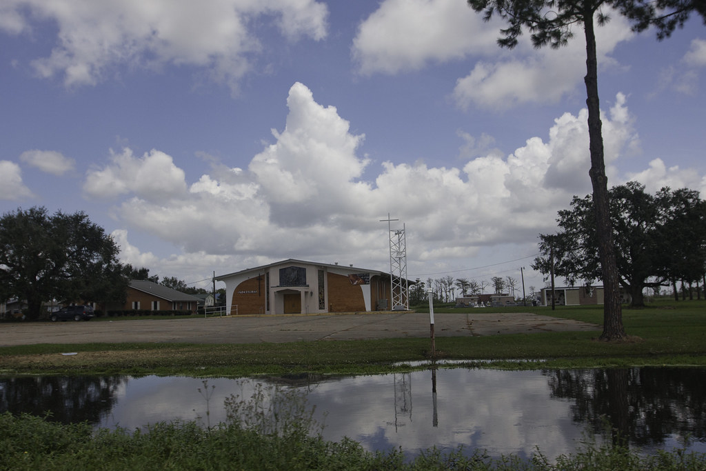
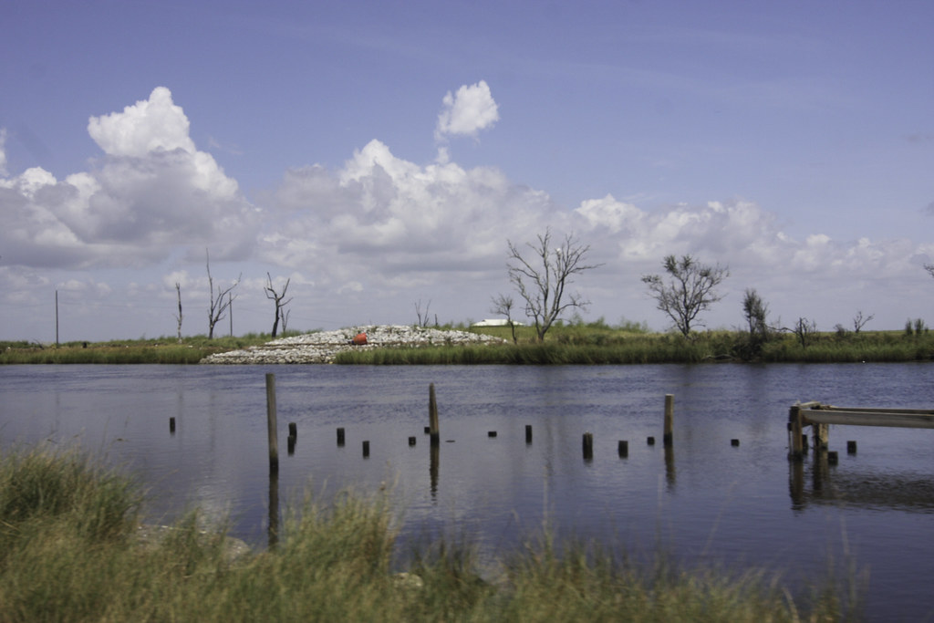
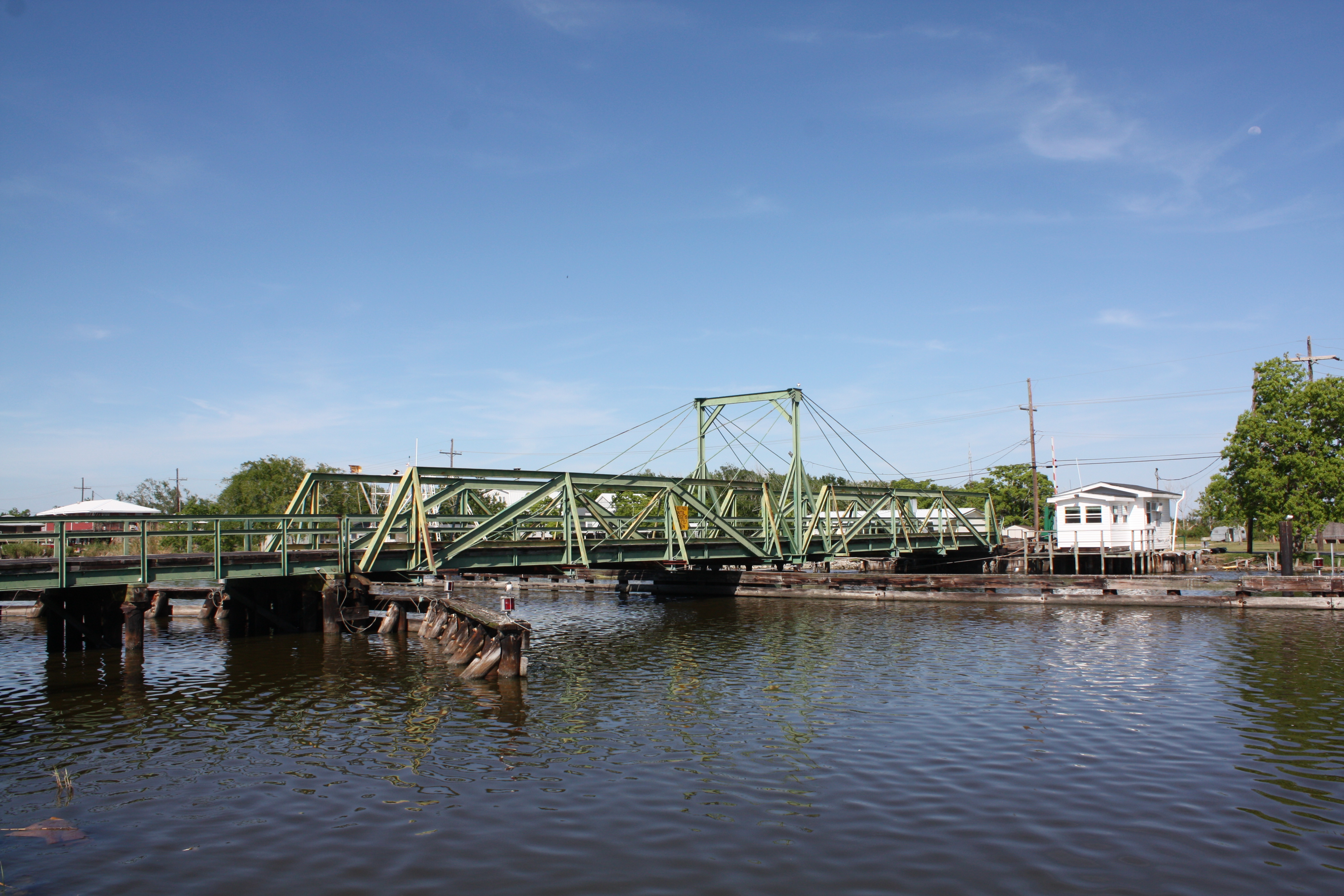
Related Photos:

Primping...Always Primping! :-)

Brown Pelican near Dulac, La.

Settling to roost
Speckled Trout Lane

Female Black-crowned Night-heron

Chauvin Bridge
IMG_0761-2
IMG_0675-2
Toussant Foret Bridge
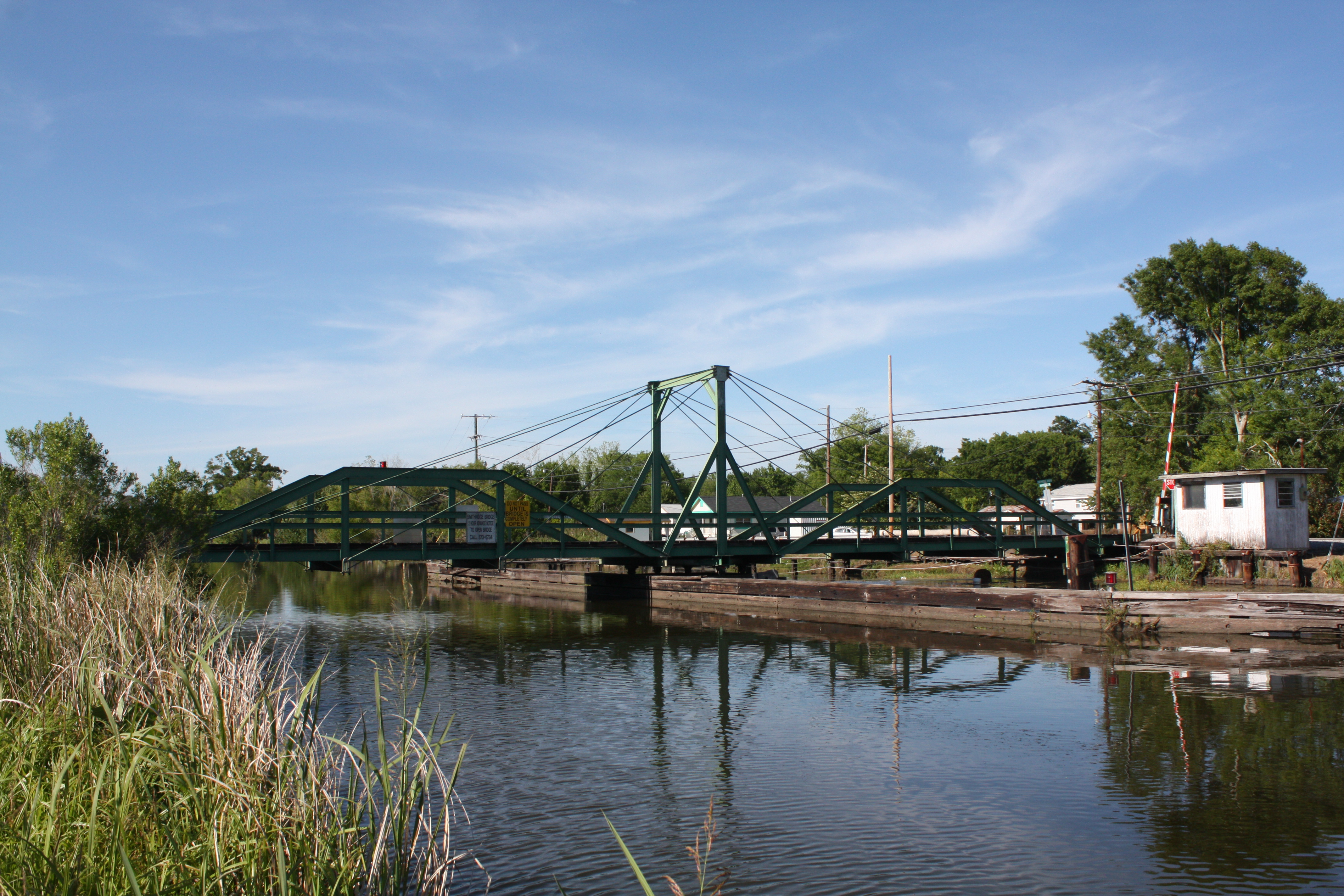
Smithridge Bridge
Topographic Map of Chauvin, LA, USA
Find elevation by address:

Places near Chauvin, LA, USA:
5505 Bayouside Dr
136 Jane St
166 Leve St
166 Leve St
109 Pellegrin St
109 Prosperity St
211 Hebert Ln
5057 Bayouside Dr
112 Roland Henry St
1209 La-55
4974 La-56
Montegut
8, LA, USA
6217 La-56
9, LA, USA
4755 La-56
123 Ellen Ln
854 La-55
208 S Central Blvd
4589 La-56
Recent Searches:
- Elevation of Corso Fratelli Cairoli, 35, Macerata MC, Italy
- Elevation of Tallevast Rd, Sarasota, FL, USA
- Elevation of 4th St E, Sonoma, CA, USA
- Elevation of Black Hollow Rd, Pennsdale, PA, USA
- Elevation of Oakland Ave, Williamsport, PA, USA
- Elevation of Pedrógão Grande, Portugal
- Elevation of Klee Dr, Martinsburg, WV, USA
- Elevation of Via Roma, Pieranica CR, Italy
- Elevation of Tavkvetili Mountain, Georgia
- Elevation of Hartfords Bluff Cir, Mt Pleasant, SC, USA