Elevation of Chaussy, France

Location: France > Centre > Loiret >

Longitude: 1.979975

Latitude: 48.169704

Elevation: 129m / 423feet

Barometric Pressure: 100KPa

Elevation Map:

elevation map of Chaussy, France

Satellite Map:

Satellite map of Chaussy, France

Related Photos:

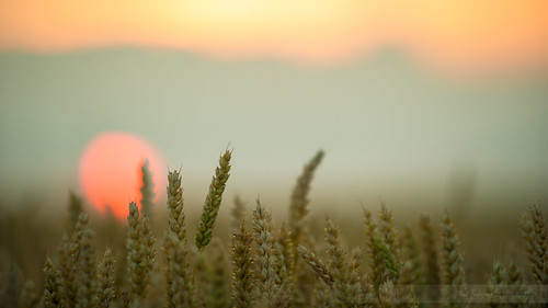
sunset pordosol sun france soleil nikon champs campo fields campagne coucherdesoleil trigo beauce milho blés d700 paulrodriguesphotographies
Coucher de soleil sur les blés...
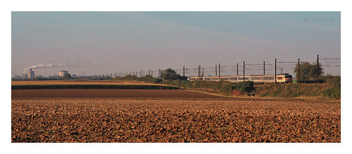
france train railway po campagne sncf béton corail chateaugaillard bb7200 nezcassé intercité
...
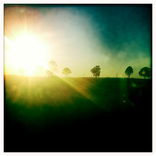
cameraphone autumn sunset sun tree fall automne soleil colorful arbre coucherdesoleil iphone abigfave colorphotoaward outlandosnet hipstamatic
End of Summertime
...
sky cloud storm wall landscape ciel strike lightning nuage paysage mur eclair orage supercell éclair mesocyclone supercellule
20140609-22432
#yellow #green #blue #clouds #sky #summer
2012 loiret 201204
Rando du PR du Tumuls à Bougy
sky cloud storm wall landscape ciel strike lightning nuage paysage mur eclair orage supercell éclair mesocyclone supercellule
20140609-22463
landscape campagne loiret
Tivernon II
Tout simplement
landscape campagne loiret
Tivernon I
landscape campagne loiret
Tivernon III
day cloudy chilleursauxbois
Temps clair au Château de Chamerolle, Loiret.
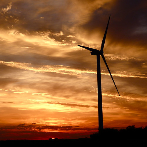
sunset sun rose clouds soleil pin couleurs coucher violet du colores bleu ciel nuages éolienne skie pulpe vanaspati1
Coucher du soleil le 11 août 2012 - Neuvy-en-Beauce - Eure-et-Loir - Centre - France
project365 2013
Field in France (281/365-13)
art texture thread digital way walking landscape spider spain gun arte camino contemporary flag web glue horizon performance spiderman shell fil via compostela plexiglas translucent form transparent concha tours paysage mapping archeology espagne artcontemporain arrangement thermal numérique marche rituel chemin landart horizonte transparence forme araignée iphone coquille compostelle rhizome translucide colle étape agencement translúcido pegamento contemporánea silkthread rizoma cartographie archéologi disposición pistoletàcolle étendard viaturonensis mérelle ritualpath chemindetours filàsoie collethermique ridhadhib rhizome66 turonensisstep
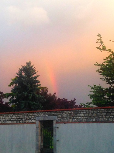
Arc-en-ciel à Artenay
art texture thread digital way walking landscape spider spain gun arte camino contemporary flag web glue horizon performance spiderman shell fil via compostela plexiglas translucent form transparent concha tours paysage mapping archeology espagne artcontemporain arrangement thermal numérique marche rituel chemin landart horizonte transparence forme araignée iphone coquille compostelle rhizome translucide colle étape agencement translúcido pegamento contemporánea silkthread rizoma cartographie archéologi disposición pistoletàcolle étendard viaturonensis mérelle ritualpath chemindetours filàsoie collethermique ridhadhib rhizome66 turonensisstep
Au presbytère d'Agerville
square squareformat iphoneography instagramapp uploaded:by=instagram
Morning. December 2015 #sunrise #colors #field #inthetrain #photo #iphone6s #cold #morningfog
art texture thread digital way walking landscape spider spain gun arte camino contemporary flag web glue horizon performance spiderman shell fil via compostela plexiglas translucent form transparent concha tours paysage mapping archeology espagne artcontemporain arrangement thermal numérique marche rituel chemin landart horizonte transparence forme araignée iphone coquille compostelle rhizome translucide colle étape agencement translúcido pegamento contemporánea silkthread rizoma cartographie archéologi disposición pistoletàcolle étendard viaturonensis mérelle ritualpath chemindetours filàsoie collethermique ridhadhib rhizome66 turonensisstep
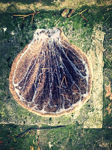
Creuset et mérelle du 11 mai
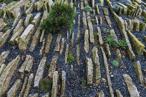
france nature fleur plante jardin arbre alpin sauvage serre rocaille saintlyélafôret
Le jardin alpin de Marinette & Jean-Luc
monorail artenay evgbru
DSC_5487-HDR.jpg