Elevation map of Chaouia-Ouardigha, Morocco
Location: Morocco >
Longitude: -7.2652858
Latitude: 33.0473251
Elevation: 629m / 2064feet
Barometric Pressure: 94KPa
Elevation Map:
Satellite Map:
Related Photos:

Coaching members of IT center at a Moroccan university
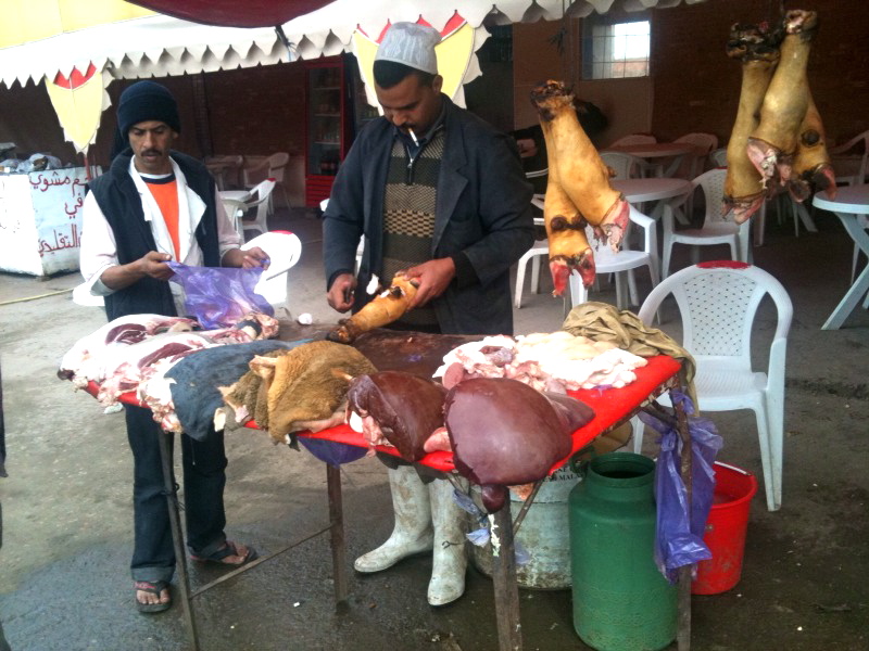
photo-5

Coaching members of IT center at a Moroccan university
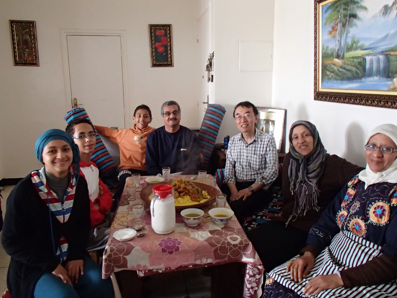
Coaching members of IT center at a Moroccan university

Coaching members of IT center at a Moroccan university
Topographic Map of Chaouia-Ouardigha, Morocco
Find elevation by address:

Places in Chaouia-Ouardigha, Morocco:
Places near Chaouia-Ouardigha, Morocco:
El Gara
Casablanca-settat
Settat Province
Settat
Berrechid
Nouaceur
Casablanca Mohammed V International Airport
Ben Slimane
Bouskoura
Moulay Rachid-sidi Othmane
Tit Mellil
Lahraouyine
Unisystem Group
Aïn Chock
Hay El Houda
Boulevard De Fes
Ain Sebaa-hay Mohammedi
Casablanca
Ain Chock Hay Hassani
Anfa
Recent Searches:
- Elevation of Corso Fratelli Cairoli, 35, Macerata MC, Italy
- Elevation of Tallevast Rd, Sarasota, FL, USA
- Elevation of 4th St E, Sonoma, CA, USA
- Elevation of Black Hollow Rd, Pennsdale, PA, USA
- Elevation of Oakland Ave, Williamsport, PA, USA
- Elevation of Pedrógão Grande, Portugal
- Elevation of Klee Dr, Martinsburg, WV, USA
- Elevation of Via Roma, Pieranica CR, Italy
- Elevation of Tavkvetili Mountain, Georgia
- Elevation of Hartfords Bluff Cir, Mt Pleasant, SC, USA