Elevation of Channing, MI, USA
Location: United States > Michigan >
Longitude: -88.093999
Latitude: 46.1416631
Elevation: 425m / 1394feet
Barometric Pressure: 96KPa
Elevation Map:
Satellite Map:
Related Photos:

explosive Ringnecks...

E&LS Yard in Channing, Michigan

Autumn Lake

IMG_1144 boys fishing at Edey Lake

November evening

IMG_0065 Lake and Sky

2011_1002 336

Fire Pit

Camping In Michigan

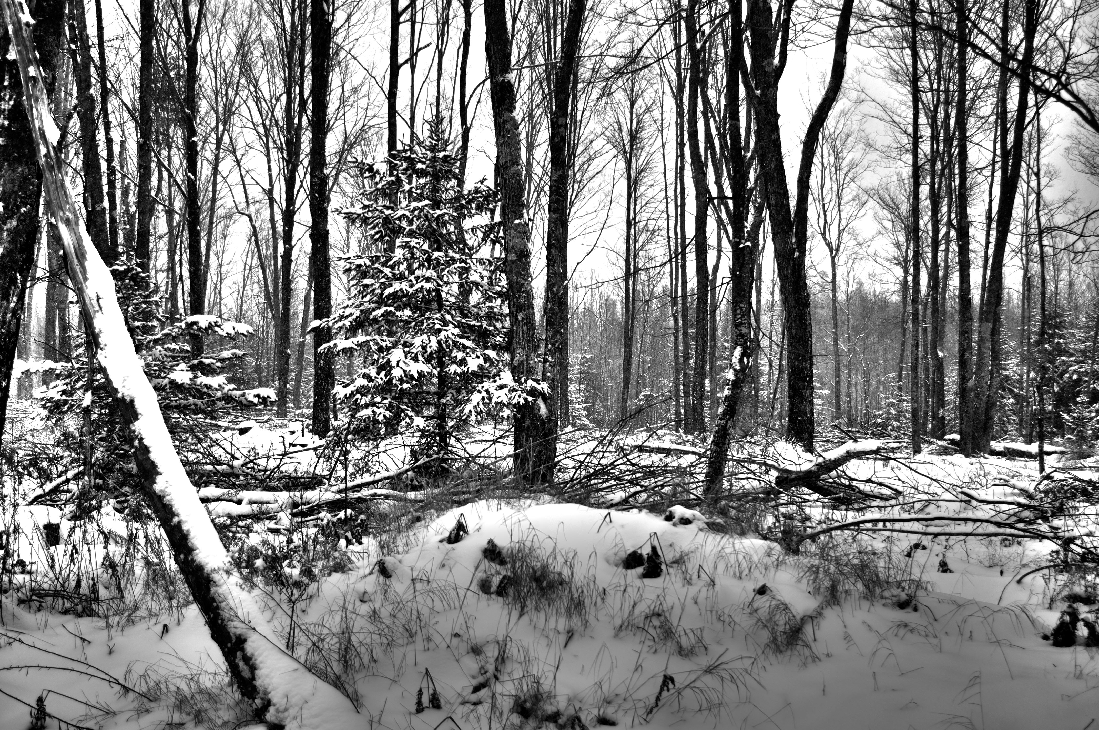
Bare In The Woods

sunrise in Michigan

morning mist

Bonfire of The UP

Trail Panorama 3

Open Woods
Woods HDR
Topographic Map of Channing, MI, USA
Find elevation by address:

Places in Channing, MI, USA:
Places near Channing, MI, USA:
Michigan 95
Michigan 95
Fence River Road
Guardian Angels Church
N 6th St, Crystal Falls, MI, USA
US-2, Florence, WI, USA
Florence
US-2, Florence, WI, USA
8346 Collins Rd
8346 Collins Rd
8346 Collins Rd
Dickinson County
Pine Mountain Resort
U.s. 141
313 E Margaret St
Iron Mountain
412 Fairmount St
Oscar G Johnson Va Medical Center
Breitung Township
Kingsford, MI, USA
Recent Searches:
- Elevation of Corso Fratelli Cairoli, 35, Macerata MC, Italy
- Elevation of Tallevast Rd, Sarasota, FL, USA
- Elevation of 4th St E, Sonoma, CA, USA
- Elevation of Black Hollow Rd, Pennsdale, PA, USA
- Elevation of Oakland Ave, Williamsport, PA, USA
- Elevation of Pedrógão Grande, Portugal
- Elevation of Klee Dr, Martinsburg, WV, USA
- Elevation of Via Roma, Pieranica CR, Italy
- Elevation of Tavkvetili Mountain, Georgia
- Elevation of Hartfords Bluff Cir, Mt Pleasant, SC, USA