Elevation of Changji, Xinjiang, China
Location: China > Xinjiang >
Longitude: 87.308225
Latitude: 44.011183
Elevation: 578m / 1896feet
Barometric Pressure: 95KPa
Elevation Map:
Satellite Map:
Related Photos:

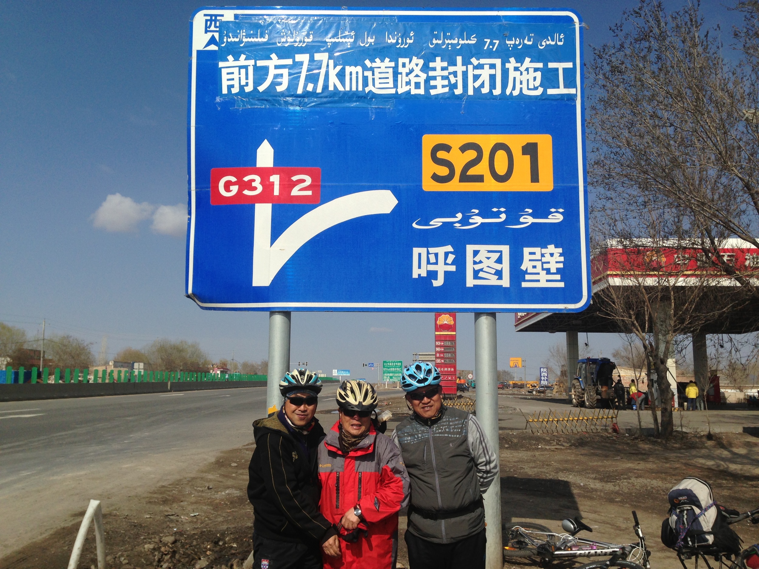
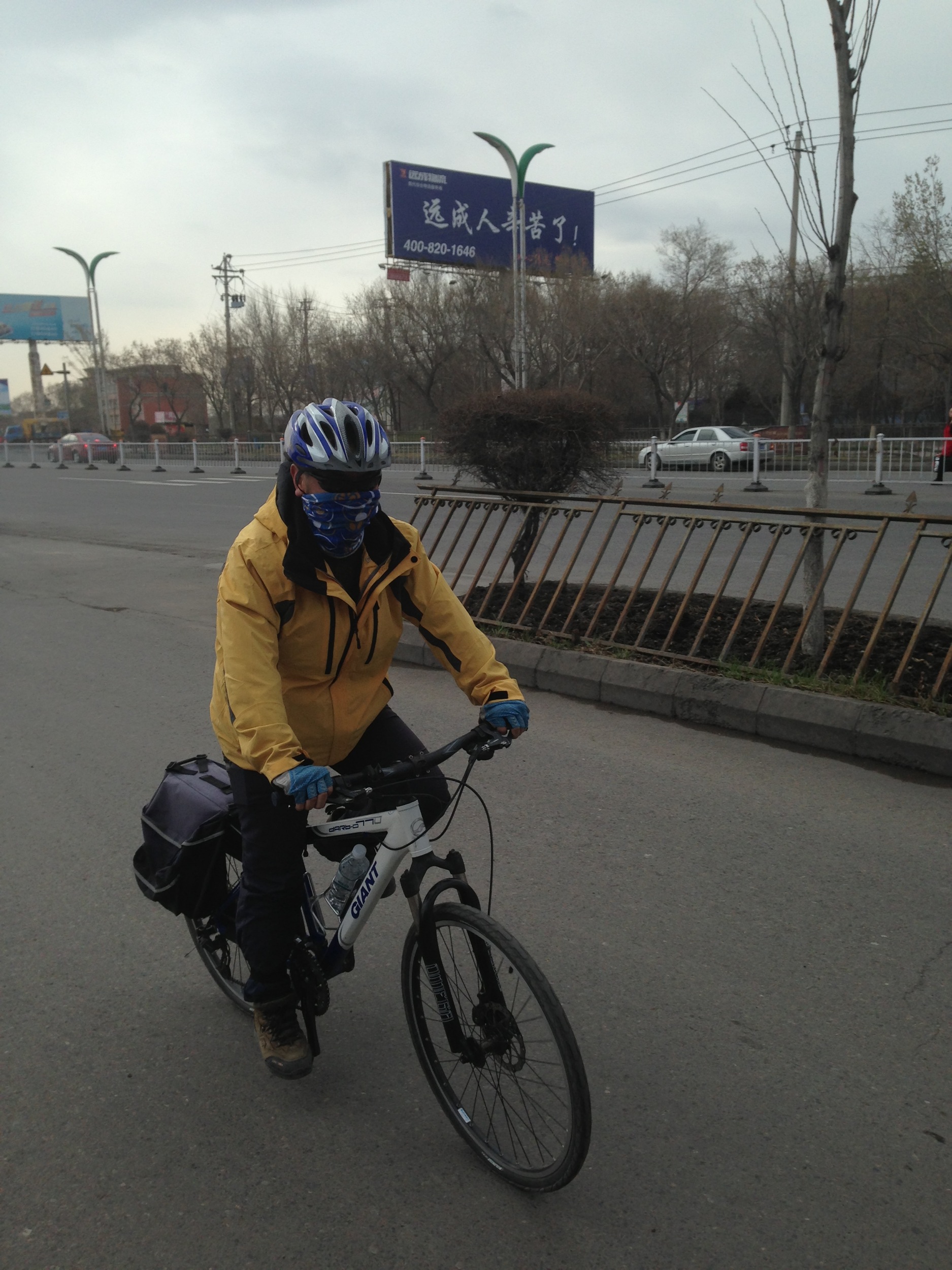
West1310 (107)
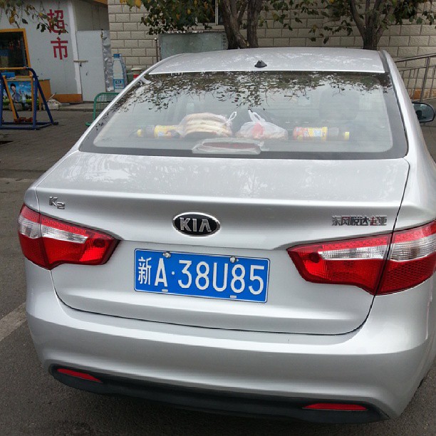
原来是K2
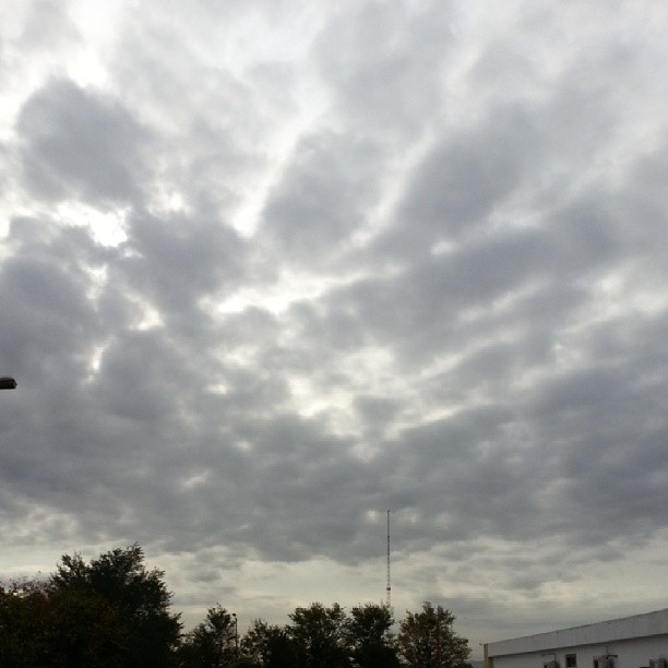
说好的蓝天白云呢☁
相机胶卷-234
相机胶卷-227
相机胶卷-189

Eggs kept a few days in tea. Looks like desert skin !
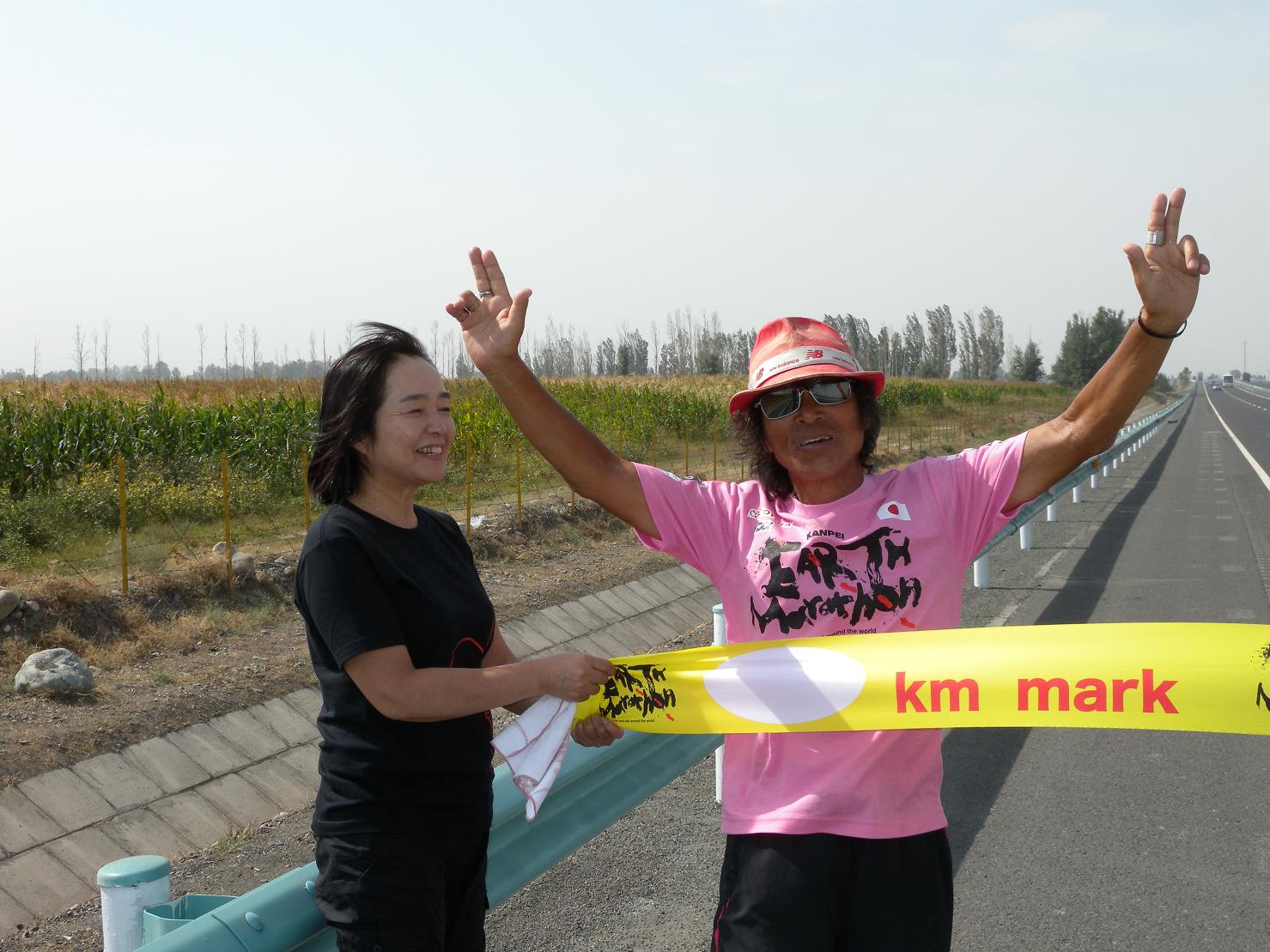
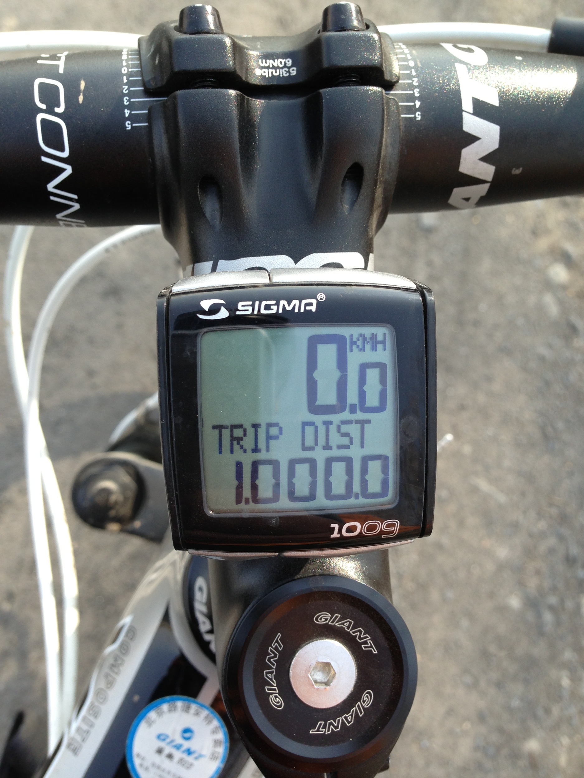
[earth-marathon-blog:03598] 633日目、ゴール!
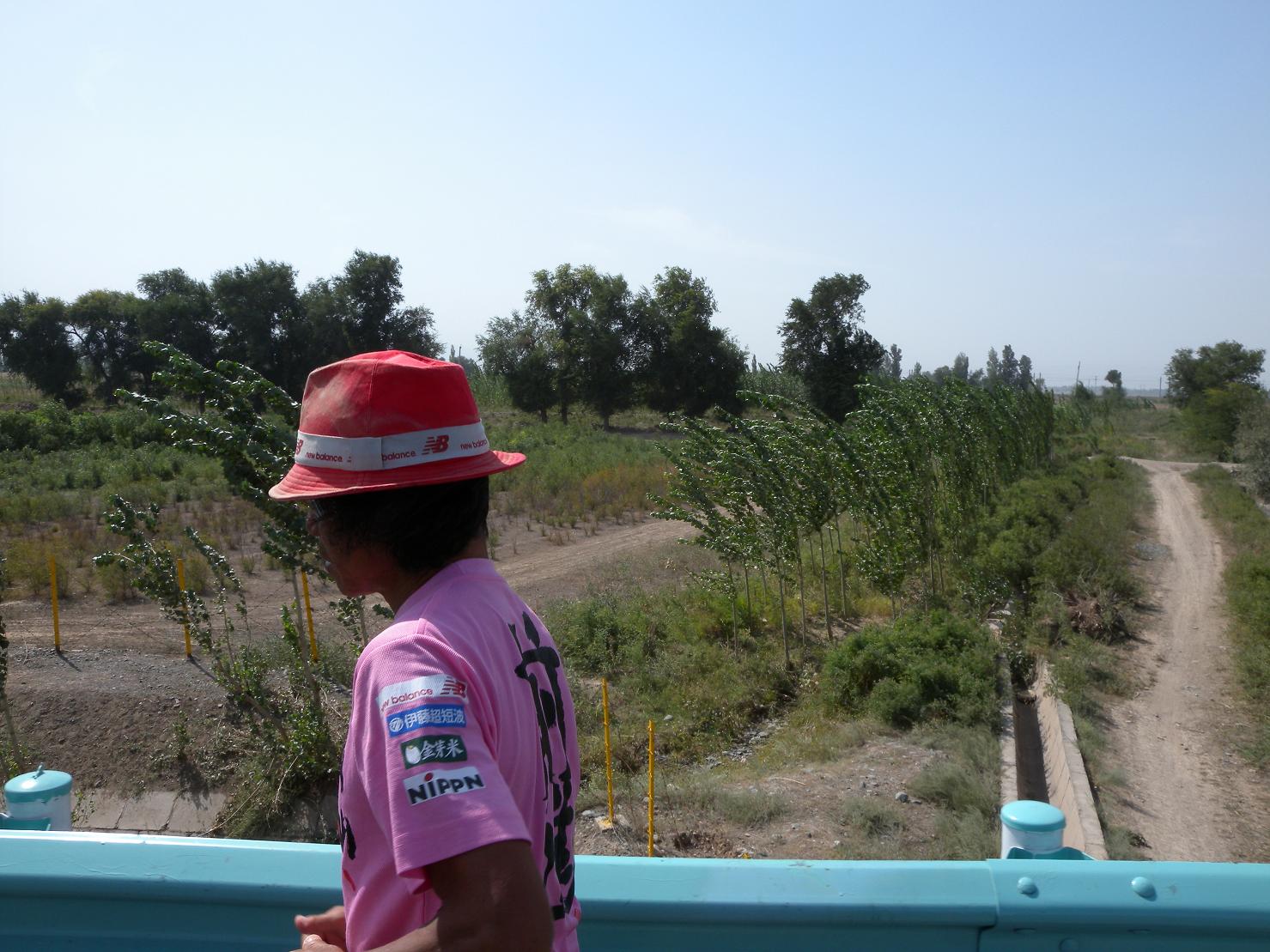
[earth-marathon-blog:03597] 快走。

[earth-marathon-blog:03596] 本日の昼食。
Topographic Map of Changji, Xinjiang, China
Find elevation by address:

Places in Changji, Xinjiang, China:
Places near Changji, Xinjiang, China:
Recent Searches:
- Elevation of Corso Fratelli Cairoli, 35, Macerata MC, Italy
- Elevation of Tallevast Rd, Sarasota, FL, USA
- Elevation of 4th St E, Sonoma, CA, USA
- Elevation of Black Hollow Rd, Pennsdale, PA, USA
- Elevation of Oakland Ave, Williamsport, PA, USA
- Elevation of Pedrógão Grande, Portugal
- Elevation of Klee Dr, Martinsburg, WV, USA
- Elevation of Via Roma, Pieranica CR, Italy
- Elevation of Tavkvetili Mountain, Georgia
- Elevation of Hartfords Bluff Cir, Mt Pleasant, SC, USA