Elevation of Chand, Madhya Pradesh, India
Location: India > Madhya Pradesh > Chhindwara >
Longitude: 79.1223944
Latitude: 21.9430409
Elevation: 589m / 1932feet
Barometric Pressure: 94KPa
Elevation Map:
Satellite Map:
Related Photos:
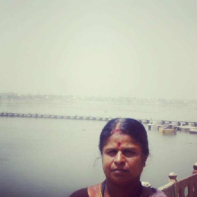
Saraswathi

Oliver burton

Harsimrat, sarbjeet, ravdeep
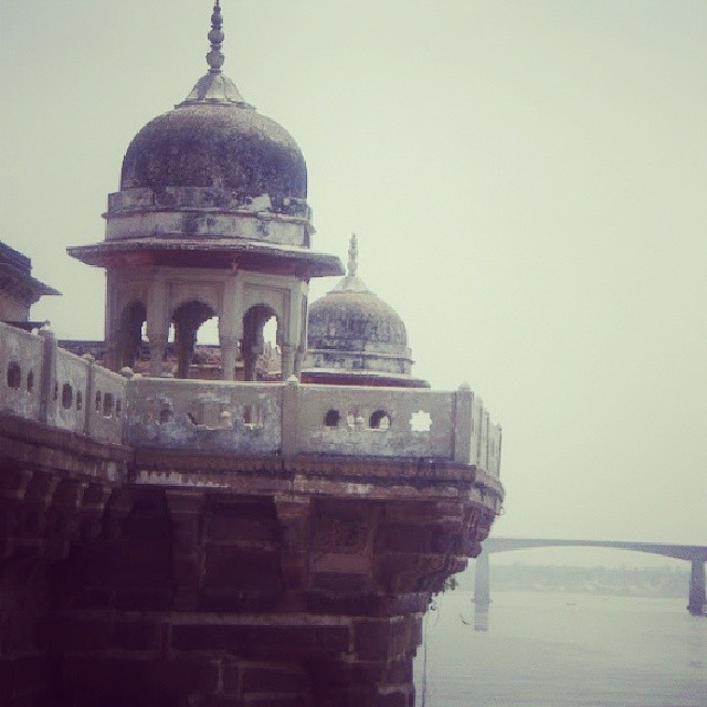
Kasi raja aranmananai
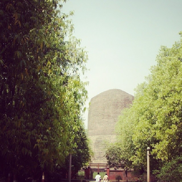
Saranath stubi
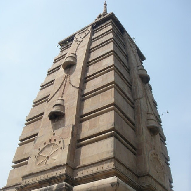
Saranath temple

Kumarappan, saraswathi
Topographic Map of Chand, Madhya Pradesh, India
Find elevation by address:

Places near Chand, Madhya Pradesh, India:
Bichhua
Chaurai
Chhindwara
Singori
Chhindwara
Moadei
Mohkhed
Chhindwara
Amarwara
Kurai
Sausar
Parasia
Seoni
Ramtek
Mangarli
Chhapara
Nagpur
Seoni
Koradi
Bhoma
Recent Searches:
- Elevation of Corso Fratelli Cairoli, 35, Macerata MC, Italy
- Elevation of Tallevast Rd, Sarasota, FL, USA
- Elevation of 4th St E, Sonoma, CA, USA
- Elevation of Black Hollow Rd, Pennsdale, PA, USA
- Elevation of Oakland Ave, Williamsport, PA, USA
- Elevation of Pedrógão Grande, Portugal
- Elevation of Klee Dr, Martinsburg, WV, USA
- Elevation of Via Roma, Pieranica CR, Italy
- Elevation of Tavkvetili Mountain, Georgia
- Elevation of Hartfords Bluff Cir, Mt Pleasant, SC, USA