Elevation of Chanchaga, Nigeria
Location: Nigeria >
Longitude: 6.5463156
Latitude: 9.6278405
Elevation: 253m / 830feet
Barometric Pressure: 98KPa
Elevation Map:
Satellite Map:
Related Photos:

Simi Olusola - AboCoders

Simi Olusola - AboCoders

Simi Olusola - AboCoders

Simi Olusola - AboCoders

Minna From The Hill
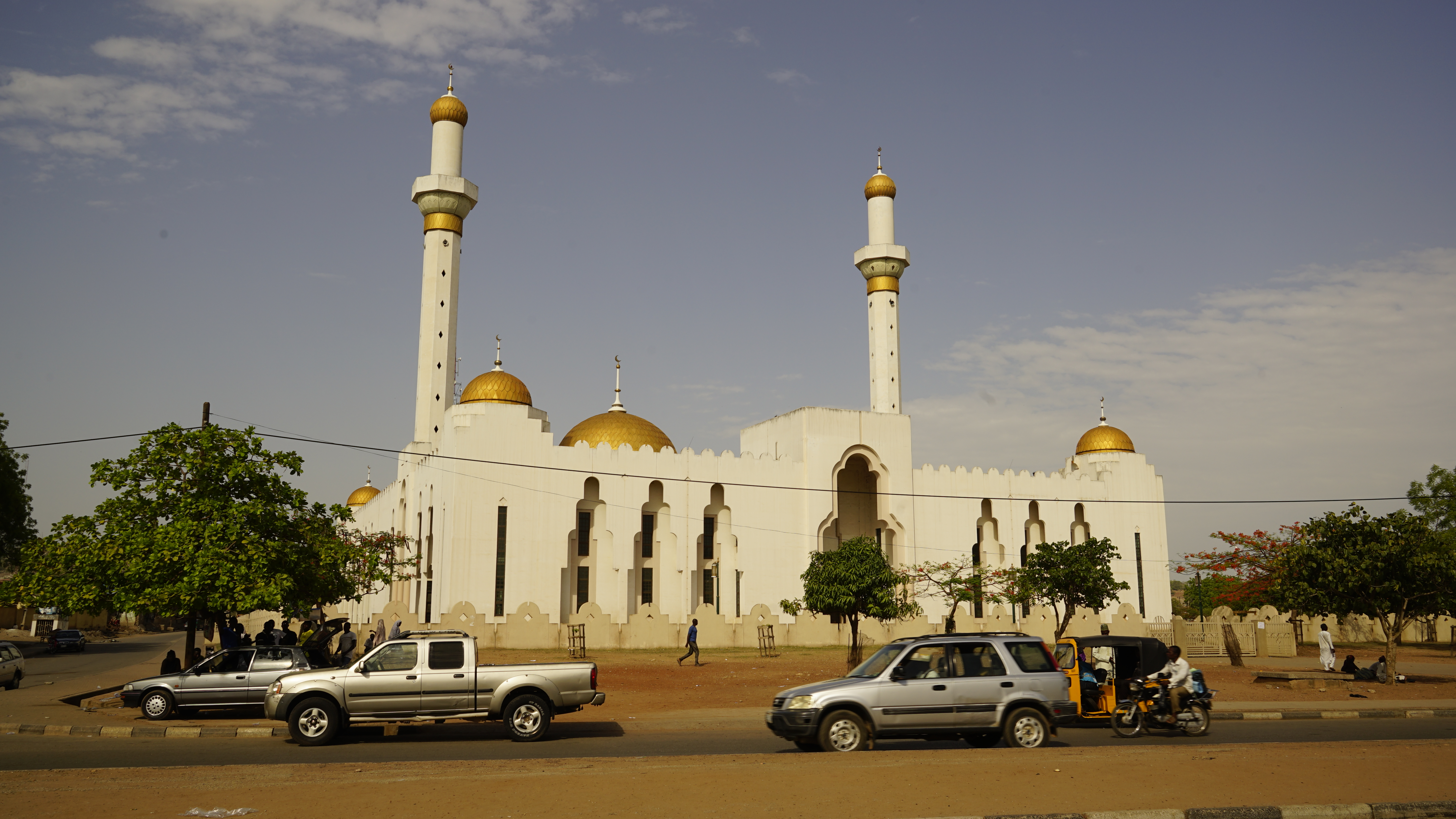
Minna Central Mosque

Minna-20140605-00817

CO 1069-62-83

CO 1069-62-72

CO 1069-62-60

CO 1069-62-33
Topographic Map of Chanchaga, Nigeria
Find elevation by address:

Places in Chanchaga, Nigeria:
Places near Chanchaga, Nigeria:
Recent Searches:
- Elevation of Corso Fratelli Cairoli, 35, Macerata MC, Italy
- Elevation of Tallevast Rd, Sarasota, FL, USA
- Elevation of 4th St E, Sonoma, CA, USA
- Elevation of Black Hollow Rd, Pennsdale, PA, USA
- Elevation of Oakland Ave, Williamsport, PA, USA
- Elevation of Pedrógão Grande, Portugal
- Elevation of Klee Dr, Martinsburg, WV, USA
- Elevation of Via Roma, Pieranica CR, Italy
- Elevation of Tavkvetili Mountain, Georgia
- Elevation of Hartfords Bluff Cir, Mt Pleasant, SC, USA