Elevation of Chalsa Tea Garden, West Bengal, India
Location: India > West Bengal > Jalpaiguri >
Longitude: 88.8383036
Latitude: 26.9422177
Elevation: 258m / 846feet
Barometric Pressure: 98KPa
Elevation Map:
Satellite Map:
Related Photos:

CSP_4160.JPG

Sukhanibasti, West Bengal

CSP_4161.JPG
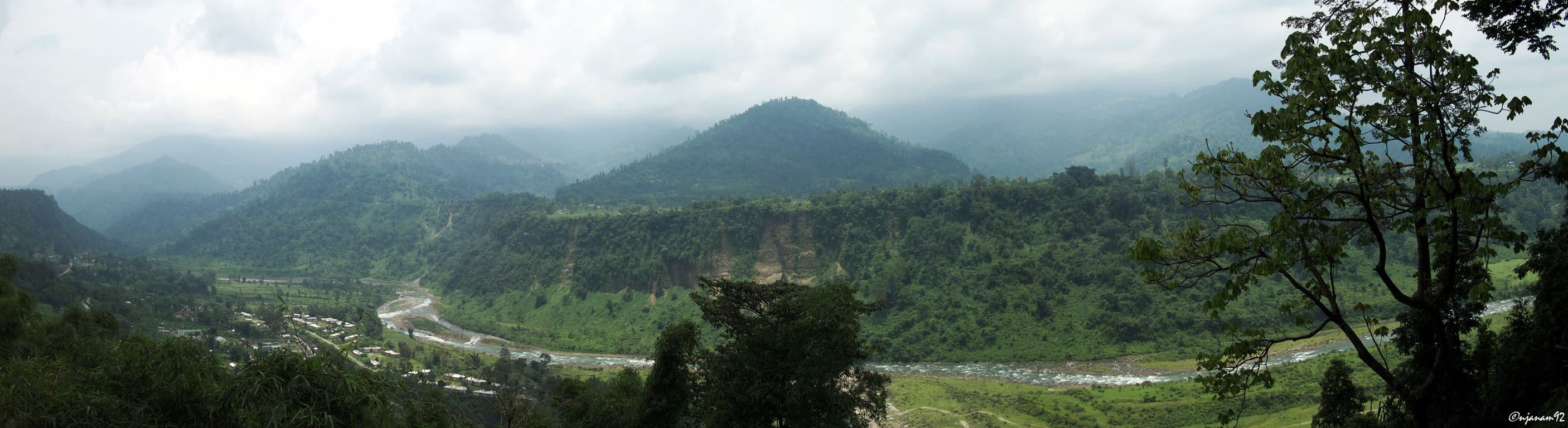
Dooars_Bhutan Himalayas

Dooars_Light Art

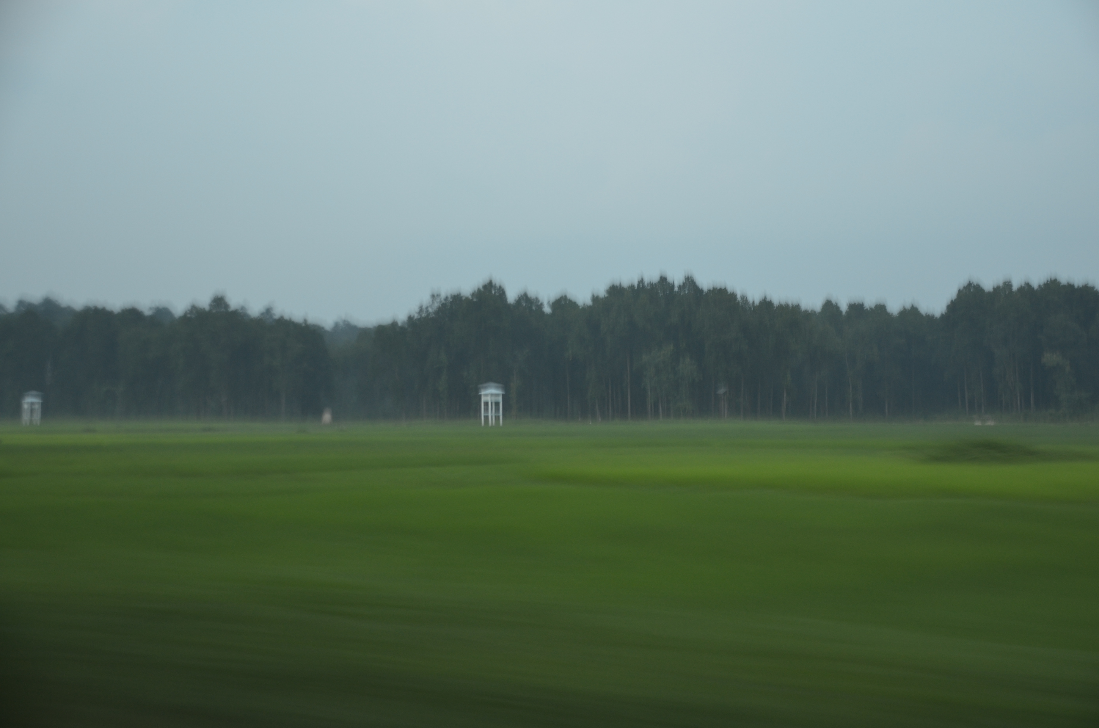
Dooars_Tea Gardens

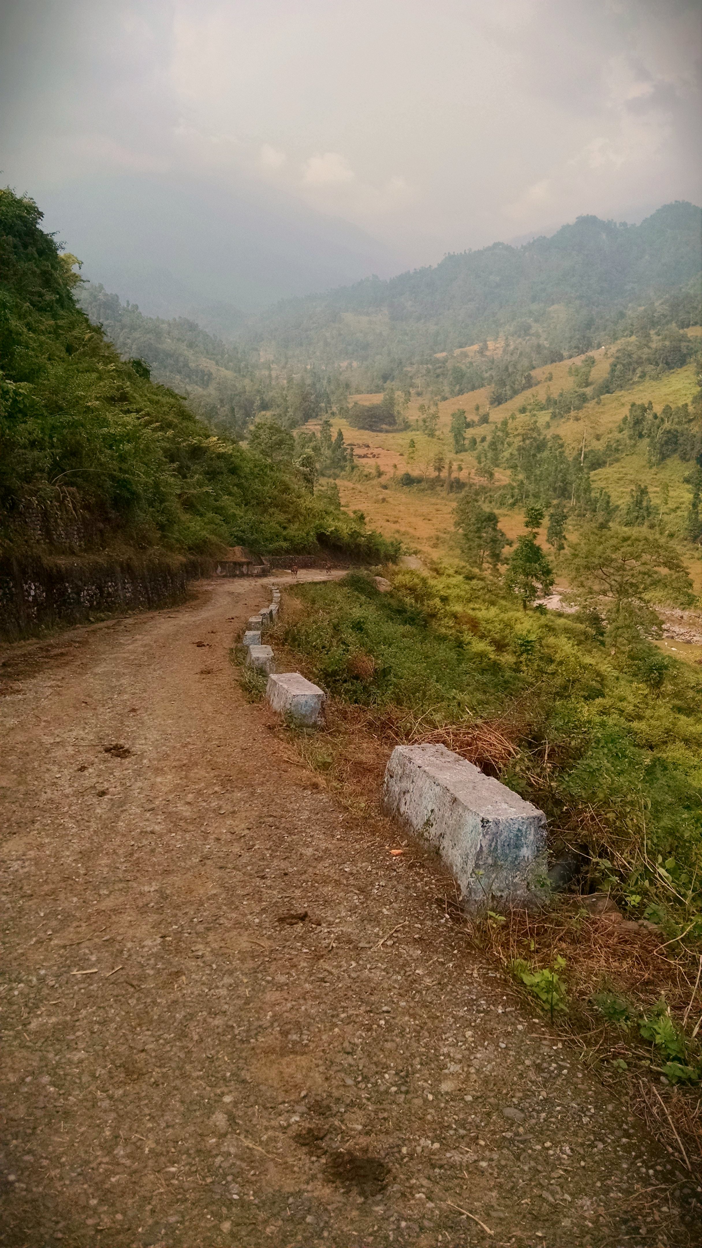
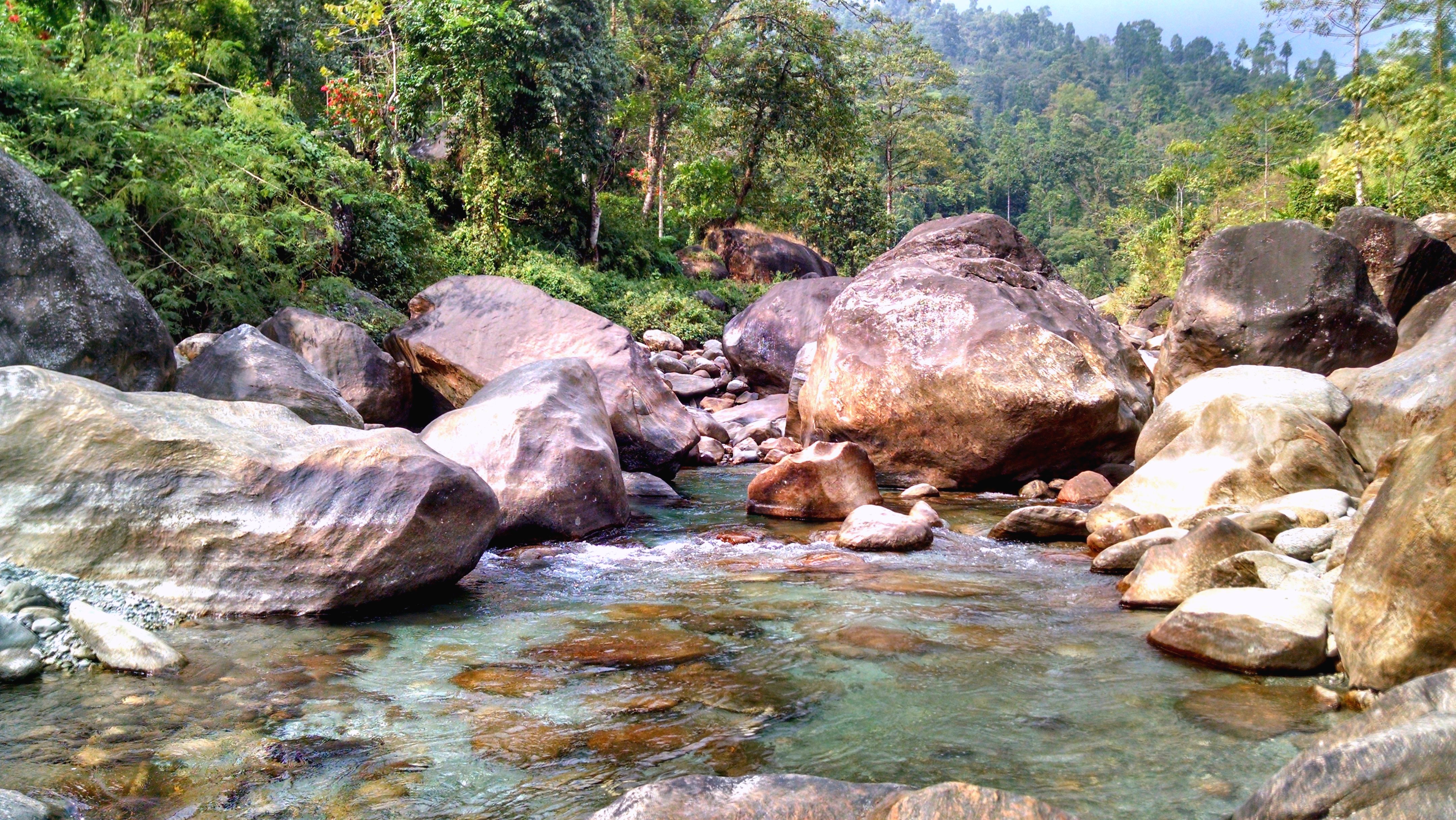
Bolder zone...

2014-12-20_11-02-32
18. Lower Gatia.JPG
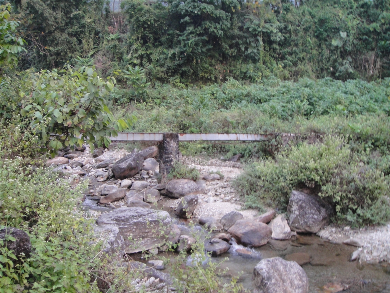
Murti river...
2014-12-20_09-28-36
ספטמבר 9 - 17·56 - Rickshawrun4 195
2014-12-20_11-08-26
Topographic Map of Chalsa Tea Garden, West Bengal, India
Find elevation by address:

Places near Chalsa Tea Garden, West Bengal, India:
Matelli
Nagaisuree Tea Garden
Hila Tea Garden
Aibheel Tea Garden
Aibhil Tea Garden
Zurrantee Primary School.
Nagrakata Tea Garden
Engo Tea Garden
Hope Tea Garden
Gairibas
Rango Forest
Jiti Tea Garden
Sipsu - Samtse Road
Jhalong
51 Cinchona Nursery, Govt. Ipecac Plantation, Rongo
Lower Fagu Tea Garden
Meenglas Tea Garden
Menglass Tea Garden
Syli Tea Garden
Recent Searches:
- Elevation of Corso Fratelli Cairoli, 35, Macerata MC, Italy
- Elevation of Tallevast Rd, Sarasota, FL, USA
- Elevation of 4th St E, Sonoma, CA, USA
- Elevation of Black Hollow Rd, Pennsdale, PA, USA
- Elevation of Oakland Ave, Williamsport, PA, USA
- Elevation of Pedrógão Grande, Portugal
- Elevation of Klee Dr, Martinsburg, WV, USA
- Elevation of Via Roma, Pieranica CR, Italy
- Elevation of Tavkvetili Mountain, Georgia
- Elevation of Hartfords Bluff Cir, Mt Pleasant, SC, USA