Elevation of Chalisgaon, Maharashtra, India
Location: India > Maharashtra > Jalgaon >
Longitude: 74.9968543
Latitude: 20.4640778
Elevation: 348m / 1142feet
Barometric Pressure: 97KPa
Elevation Map:
Satellite Map:
Related Photos:
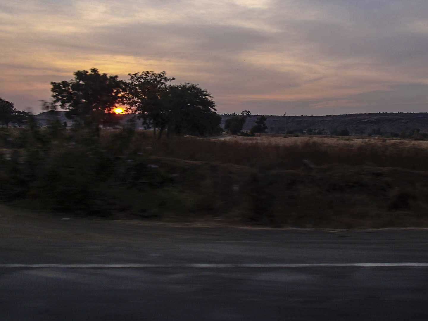
2012-12-17_17h37m54s
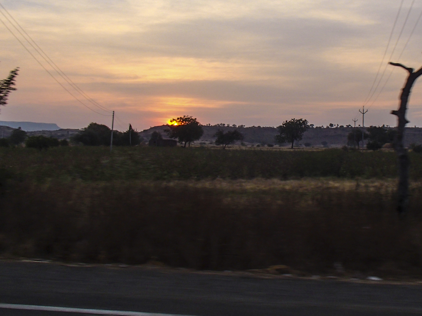
2012-12-17_17h38m00s

India, 24h train ride

Piku! ???? #Piku #Cat #PersianCat #PunchFacePersian #iPhonography #NotMine ????

India, 24h train ride
Topographic Map of Chalisgaon, Maharashtra, India
Find elevation by address:

Places near Chalisgaon, Maharashtra, India:
Kannad
Kanoli Dam
Bhadgaon
Palasdare
Sasegaon
Nandgaon
Pachora
Parola
Laling Toll Plaza
Midc Avdhan
Verul
Ellora Caves
Khuldabad
Dhule
Khuldabad
Phulambri
Deogiri Daulatabad Fort
Daulatabad
Kesapuri Tanda
Erandol
Recent Searches:
- Elevation of Corso Fratelli Cairoli, 35, Macerata MC, Italy
- Elevation of Tallevast Rd, Sarasota, FL, USA
- Elevation of 4th St E, Sonoma, CA, USA
- Elevation of Black Hollow Rd, Pennsdale, PA, USA
- Elevation of Oakland Ave, Williamsport, PA, USA
- Elevation of Pedrógão Grande, Portugal
- Elevation of Klee Dr, Martinsburg, WV, USA
- Elevation of Via Roma, Pieranica CR, Italy
- Elevation of Tavkvetili Mountain, Georgia
- Elevation of Hartfords Bluff Cir, Mt Pleasant, SC, USA