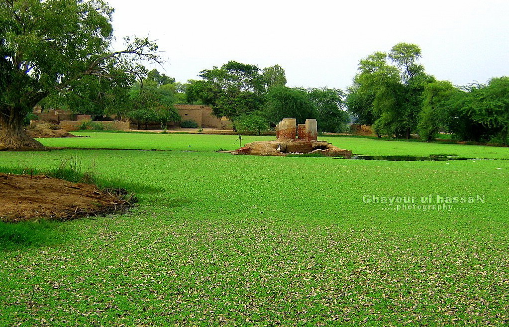
Elevation of Chakar E Azam Rind Tomb, Satghara, Okara, Punjab, Pakistan
Location: Pakistan > Punjab > Okara > Okara > Satghara >
Longitude: 73.5129601
Latitude: 30.9170337
Elevation: 182m / 597feet
Barometric Pressure: 99KPa
Elevation Map:
Satellite Map:
Related Photos:
my village

Sunset at Bama Bala Fisheries

Mitchell's Farms

Get Outta My Dreams, Get into My (Red Topless) Car - IMRAN™
Family / Pack / Dogs - (Chapter 1: Jack's Shadow) - IMRAN™

#illustration #vector #vectors #symbol #image #business #paper #design #square #shape #sign #label #blank #document #horizontal #communication #banner #computergraphic #shadow #devoid #tags #ultralab #instahashru
Topographic Map of Chakar E Azam Rind Tomb, Satghara, Okara, Punjab, Pakistan
Find elevation by address:

Places near Chakar E Azam Rind Tomb, Satghara, Okara, Punjab, Pakistan:
Satghara
Okara
Okara
Jinnah Park Okara
Tomb Muhammad Ibrahim Daud-e-sani Kirmani Bandgi
Shahbaz Sharif Forest Park
Lakran Wala
Okara
Sahiwal (sahiwal)
Badha Lake
Nohra Mohammad Serwar
Eastern Sadiqia Canal
Fazilka
Minchinabad
Fazilka
Satluj Park Bahawalnagar
Bahāwalnagar
Bahawalnagar
Sri Ganganagar
Hakra Canal
Recent Searches:
- Elevation of Corso Fratelli Cairoli, 35, Macerata MC, Italy
- Elevation of Tallevast Rd, Sarasota, FL, USA
- Elevation of 4th St E, Sonoma, CA, USA
- Elevation of Black Hollow Rd, Pennsdale, PA, USA
- Elevation of Oakland Ave, Williamsport, PA, USA
- Elevation of Pedrógão Grande, Portugal
- Elevation of Klee Dr, Martinsburg, WV, USA
- Elevation of Via Roma, Pieranica CR, Italy
- Elevation of Tavkvetili Mountain, Georgia
- Elevation of Hartfords Bluff Cir, Mt Pleasant, SC, USA