Elevation of Chago, Asturias, Spain
Location: Spain > Asturias > Asturias > Aller >
Longitude: -5.5923156
Latitude: 43.0672117
Elevation: 1557m / 5108feet
Barometric Pressure: 84KPa
Elevation Map:
Satellite Map:
Related Photos:

Up here

La montaña solitaria
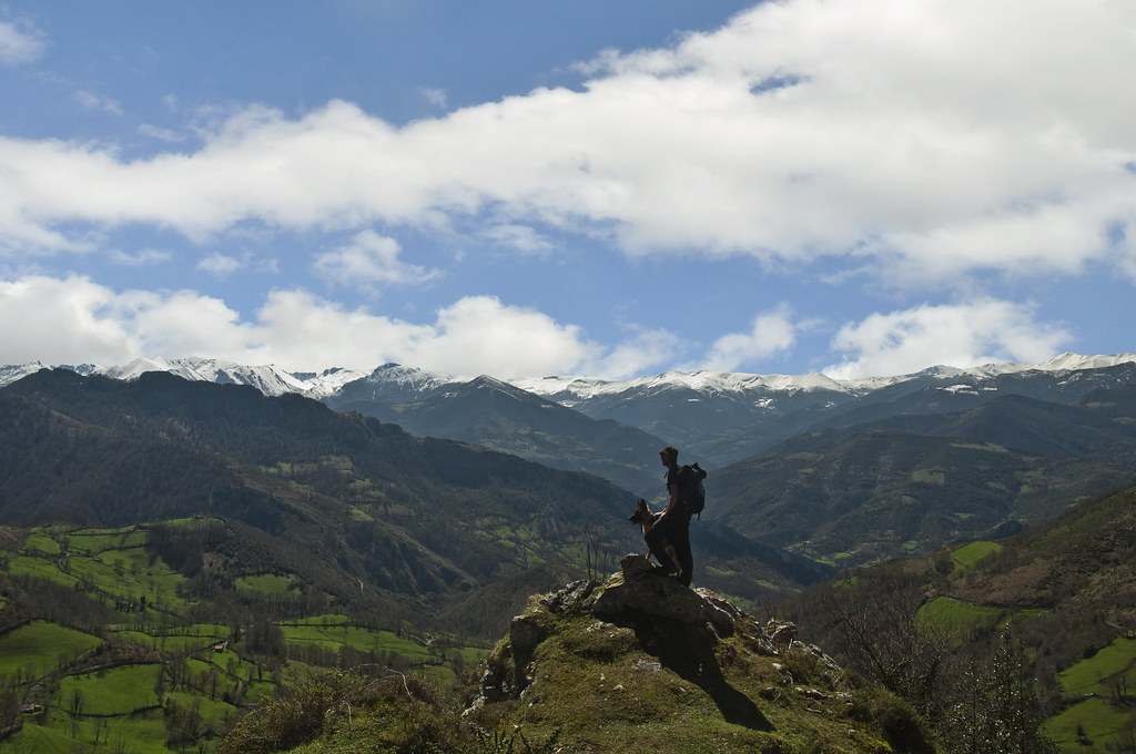
Enjoying the view
Topographic Map of Chago, Asturias, Spain
Find elevation by address:

Places near Chago, Asturias, Spain:
LE-, 2, Cármenes, León, Spain
Piornedo
Pelugano
AS-, 11, Vega, Asturias, Spain
Vega
Canseco
Calle el Barrio, 3, Cármenes, León, Spain
3a
Pedrosa
Getino
Lugar Getino, 19, Getino, León, Spain
Valporquero De Torío
12a
1b
Carr. la Vid, 32, La Pola de Gordón, León, Spain
Vegacervera
Faedo De Ciñera
Valdelugueros
Lugueros
LE-, 19, Lugueros, León, Spain
Recent Searches:
- Elevation of Corso Fratelli Cairoli, 35, Macerata MC, Italy
- Elevation of Tallevast Rd, Sarasota, FL, USA
- Elevation of 4th St E, Sonoma, CA, USA
- Elevation of Black Hollow Rd, Pennsdale, PA, USA
- Elevation of Oakland Ave, Williamsport, PA, USA
- Elevation of Pedrógão Grande, Portugal
- Elevation of Klee Dr, Martinsburg, WV, USA
- Elevation of Via Roma, Pieranica CR, Italy
- Elevation of Tavkvetili Mountain, Georgia
- Elevation of Hartfords Bluff Cir, Mt Pleasant, SC, USA