Elevation of Cerro Azul, Ver., Mexico
Location: Mexico > Veracruz >
Longitude: -97.741957
Latitude: 21.1880005
Elevation: 147m / 482feet
Barometric Pressure: 100KPa
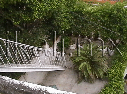
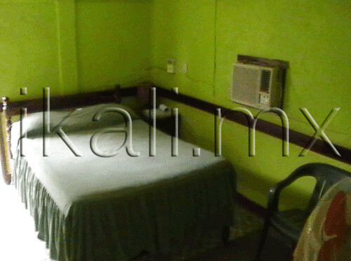
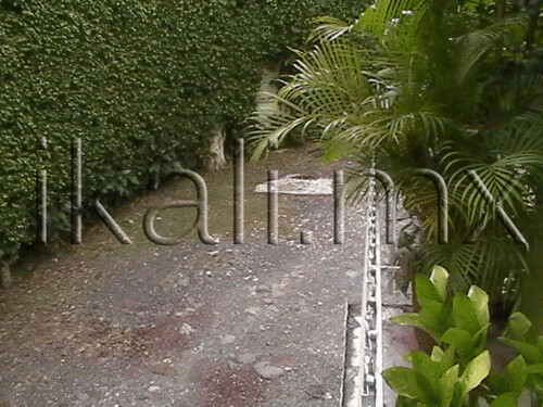
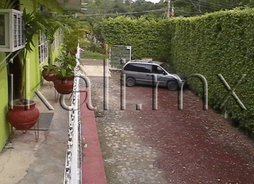
Related Photos:
Topographic Map of Cerro Azul, Ver., Mexico
Find elevation by address:

Places in Cerro Azul, Ver., Mexico:
Places near Cerro Azul, Ver., Mexico:
Rubi 17, Veracruz, Mexico
Citlaltépec
Carr. Tamiahua - Tuxpan, Tampamachoco, Ver., Mexico
Carr. Tamiahua - Tuxpan 46, Tuxpan, Ver., Mexico
Tantoyuca
Tantoyuca
Tempoal de Sánchez - Huejutla de Reyes 12, Veracruz, Mexico
Huejutla De Reyes
Huejutla De Reyes
Huejutla de Reyes - Pachuca 53, Cuatapa, Hgo., Mexico
Potrero Horcón
Horcón Potrero
5 de Mayo 31, Horcón Potrero, Potrero Horcón, Ver., Mexico
Tempoal
Tempoal
Pánuco
Independencia 13, Centro, Pánuco, Ver., Mexico
Pueblo Viejo
Linda Vista
Colonia Petrolera Lindavista
Recent Searches:
- Elevation of Corso Fratelli Cairoli, 35, Macerata MC, Italy
- Elevation of Tallevast Rd, Sarasota, FL, USA
- Elevation of 4th St E, Sonoma, CA, USA
- Elevation of Black Hollow Rd, Pennsdale, PA, USA
- Elevation of Oakland Ave, Williamsport, PA, USA
- Elevation of Pedrógão Grande, Portugal
- Elevation of Klee Dr, Martinsburg, WV, USA
- Elevation of Via Roma, Pieranica CR, Italy
- Elevation of Tavkvetili Mountain, Georgia
- Elevation of Hartfords Bluff Cir, Mt Pleasant, SC, USA
