Elevation map of Central Province, Maldives
Location: Maldives >
Longitude: 73.2379179
Latitude: 2.96938
Elevation: -308m / -1010feet
Barometric Pressure: 105KPa
Elevation Map:
Satellite Map:
Related Photos:

Maldivian Coral

zdjęcia z iPhone 156

zdjęcia z iPhone 160

the canteen

Road from my room to the breakfast & diving center
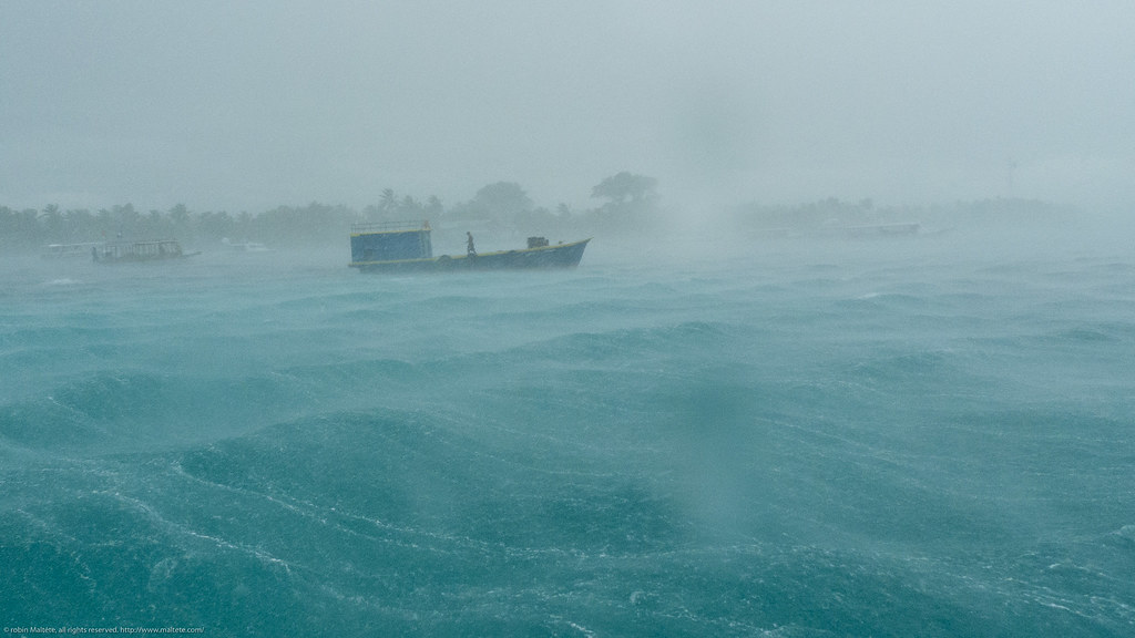
Stormy weather

a pelo d'acqua
Topographic Map of Central Province, Maldives
Find elevation by address:

Places in Central Province, Maldives:
Places near Central Province, Maldives:
Olhuveli
Guraidhoo
Velassaru
North Central Province
Atolls Of The Maldives
Malé
Male
Maldives International Arbitration Center
Velana International Airport
Recent Searches:
- Elevation of Corso Fratelli Cairoli, 35, Macerata MC, Italy
- Elevation of Tallevast Rd, Sarasota, FL, USA
- Elevation of 4th St E, Sonoma, CA, USA
- Elevation of Black Hollow Rd, Pennsdale, PA, USA
- Elevation of Oakland Ave, Williamsport, PA, USA
- Elevation of Pedrógão Grande, Portugal
- Elevation of Klee Dr, Martinsburg, WV, USA
- Elevation of Via Roma, Pieranica CR, Italy
- Elevation of Tavkvetili Mountain, Georgia
- Elevation of Hartfords Bluff Cir, Mt Pleasant, SC, USA