Elevation map of Central Ostrobothnia, Finland
Location: Finland >
Longitude: 24.001363
Latitude: 63.5621735
Elevation: 120m / 394feet
Barometric Pressure: 100KPa
Elevation Map:
Satellite Map:
Related Photos:
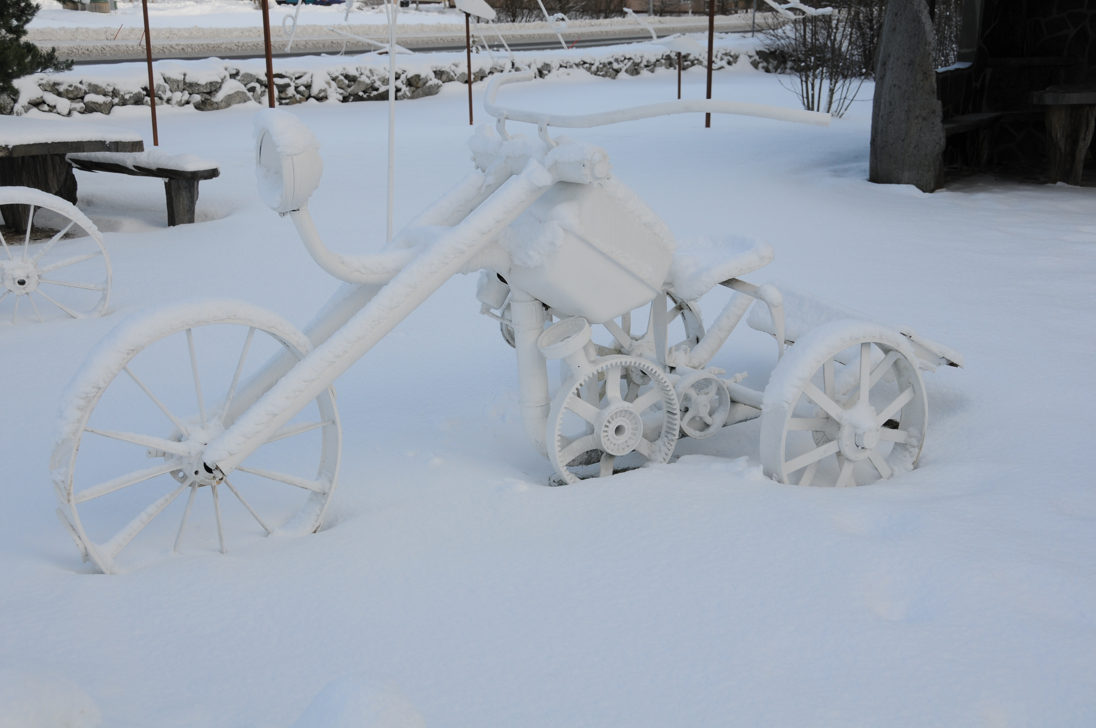
Harrikka à la Kaustinen

Vetelin museo

Rypsi/Rapsi/?
Ei käy värit yhteen
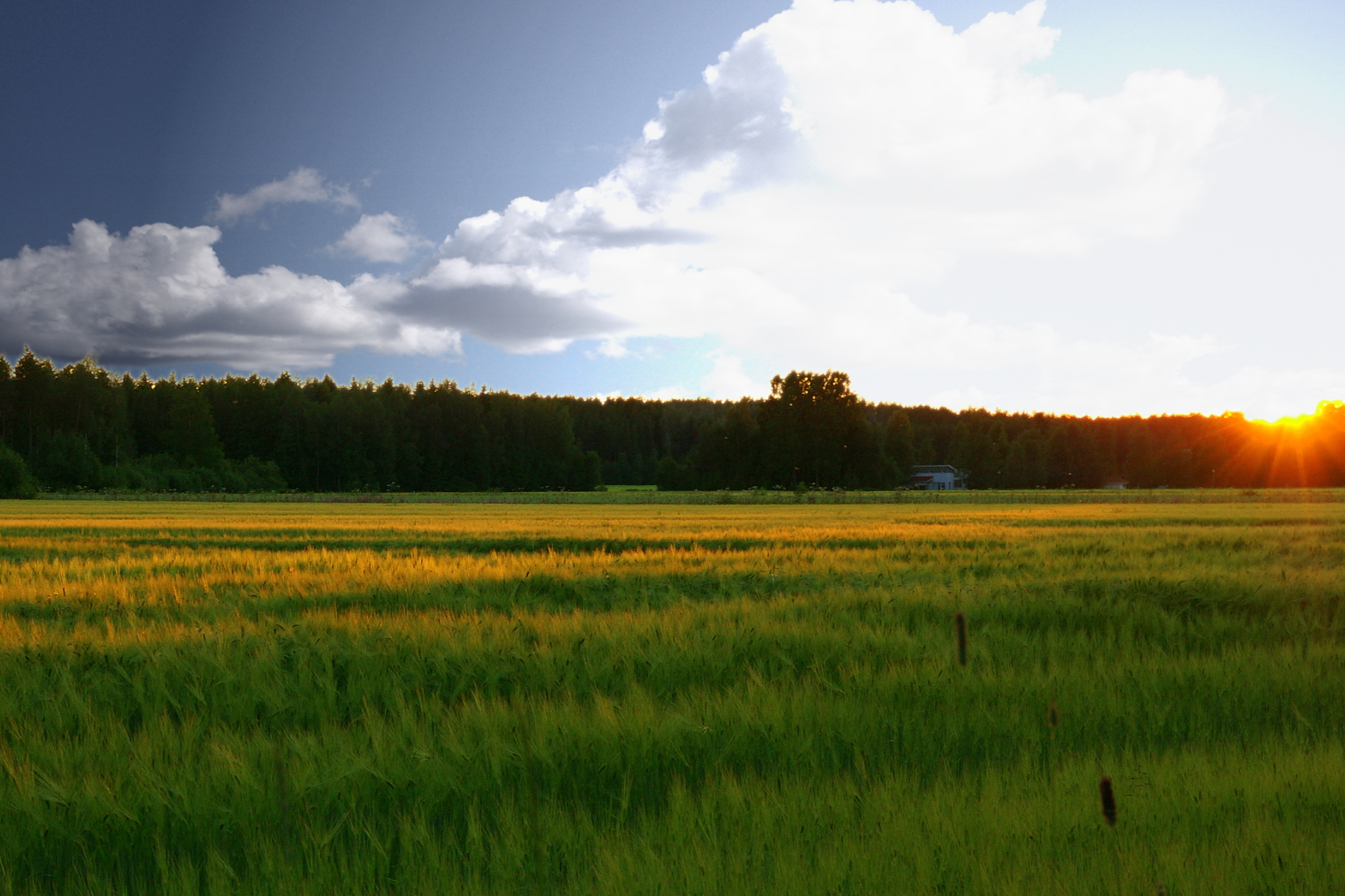
From the bottom to the top
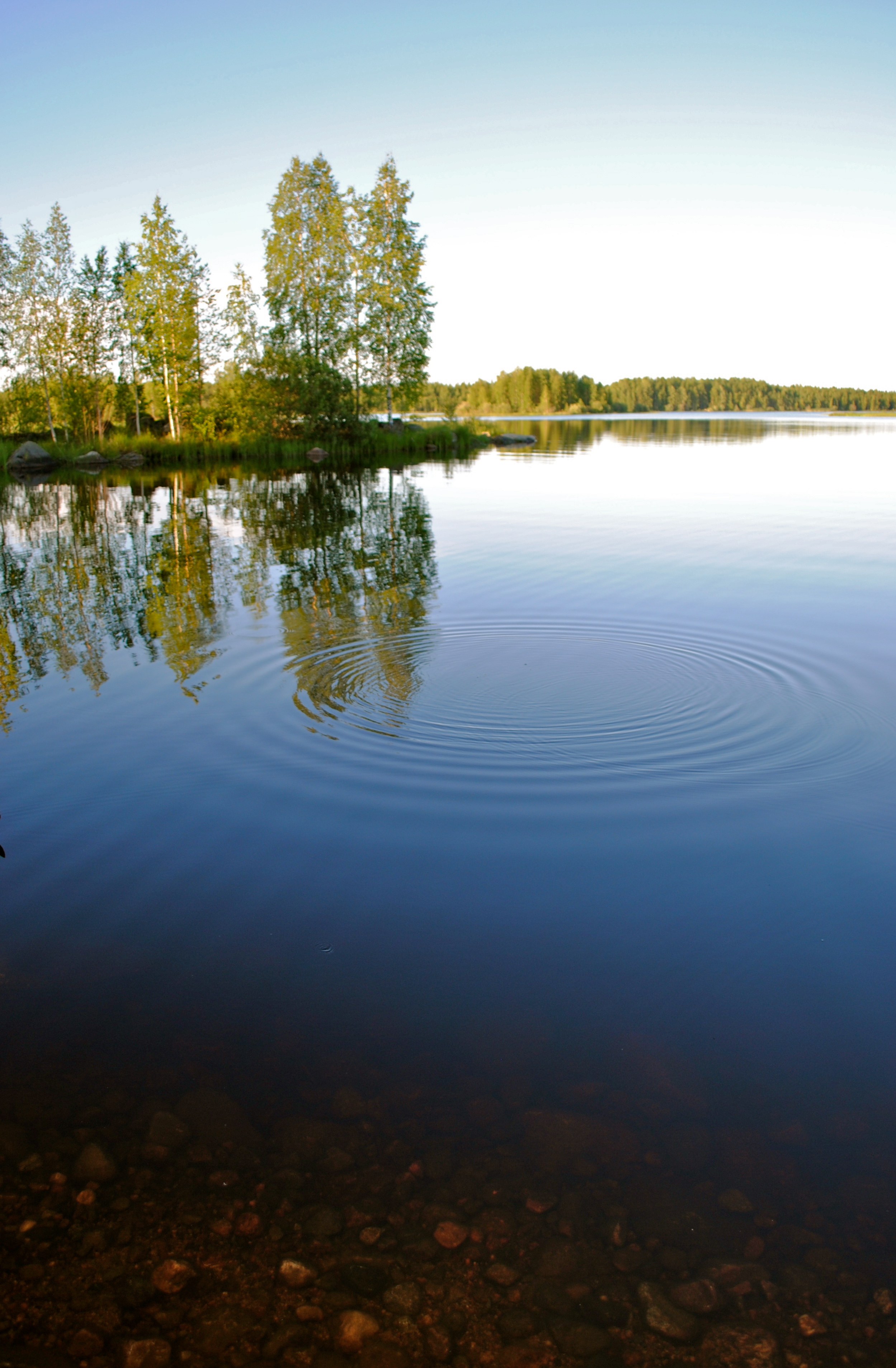
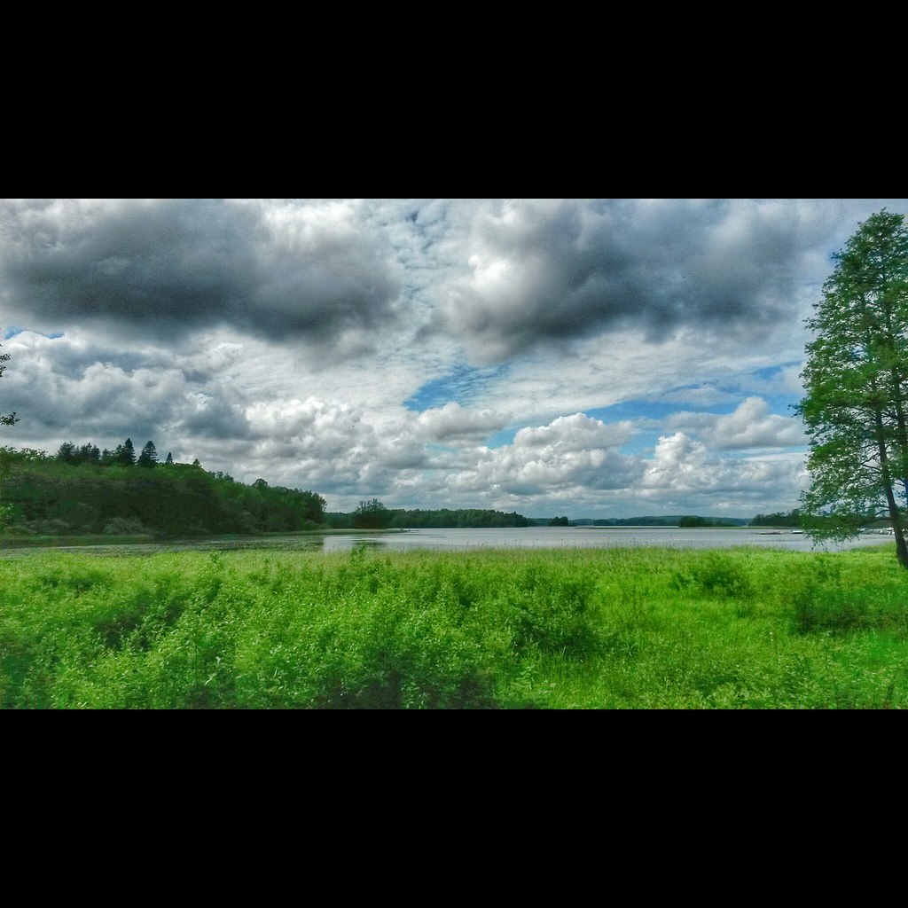
Lake like a mirror
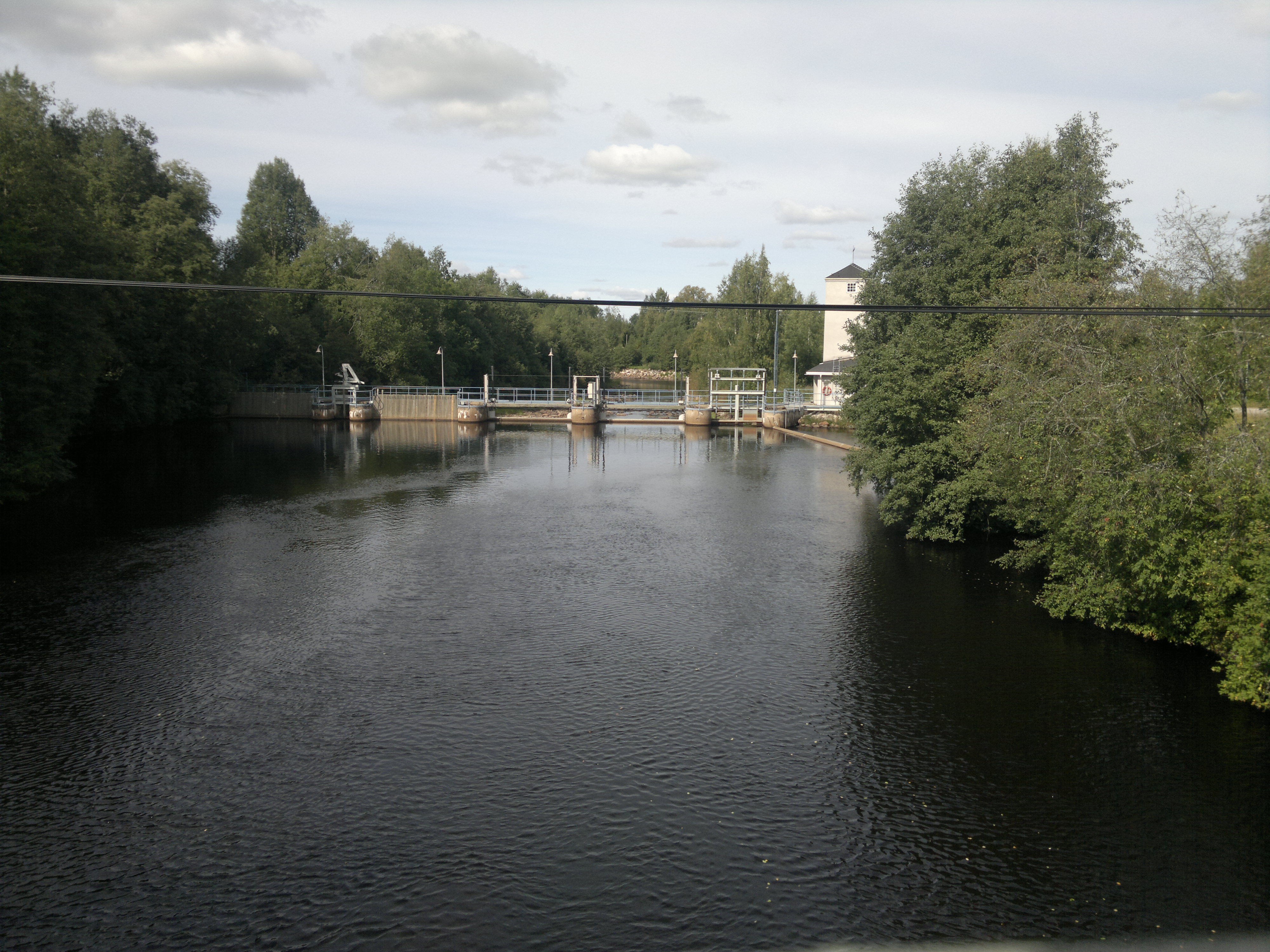
Penttilänkoski

SM-tarkkuussuunnistus 2014
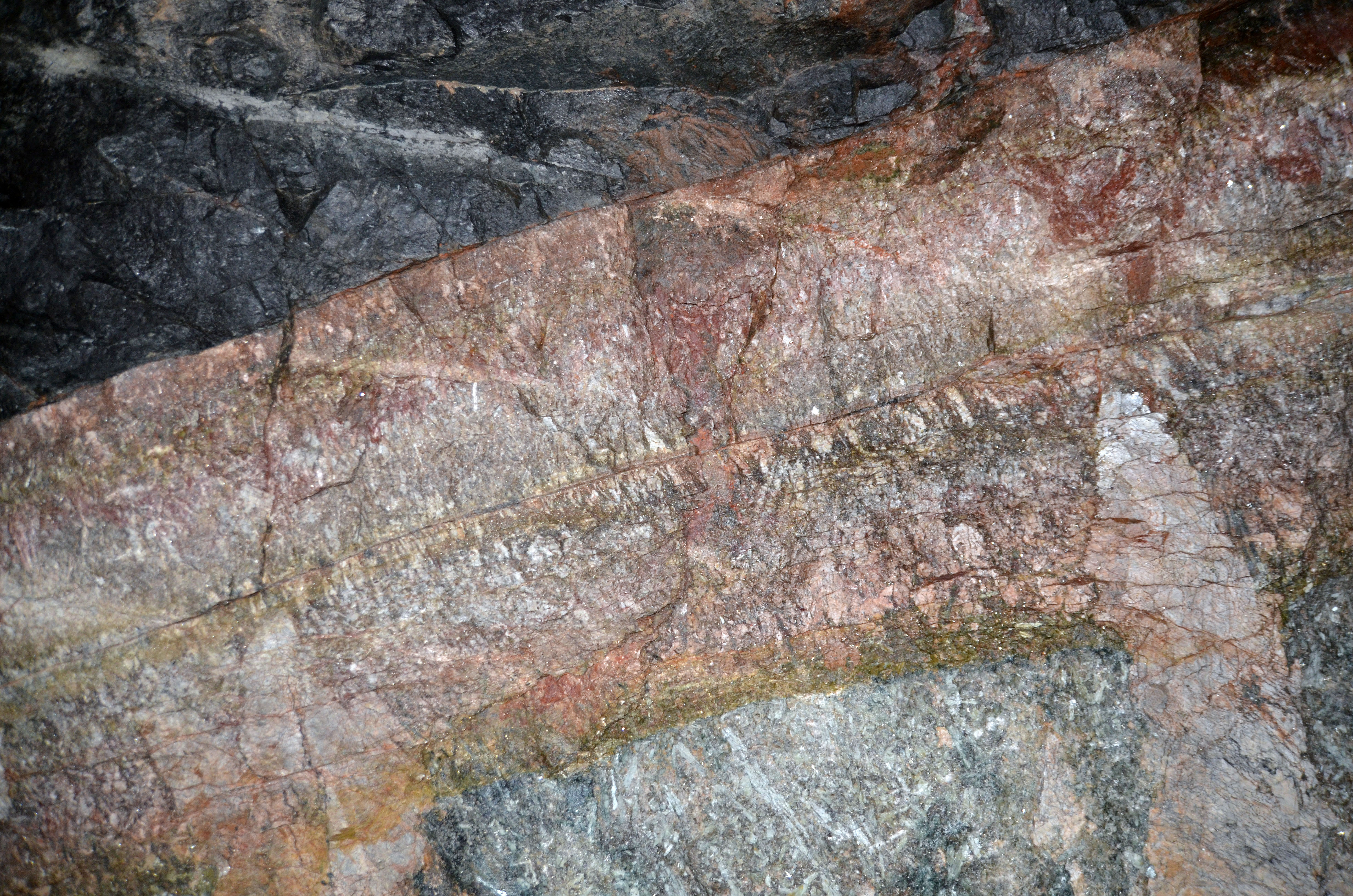
Contact between spodumene containing pegmatite dyke and main host rock

~ valoa yössä #darkness #stars #countryside #canon6d #tree #landscape_captures

~ and the sun rises #mist #morning #landscape_captures #aamu #canon_photos #canon7dmarkii

Utua ja auringonlaskua
Lohjanjärvi. 19.6.2015. #lohjanjärvi #maisema #landscape #lohja #virkkala #visitlohja #visitfinland #samsunggalaxys4active

Sunset glow
Topographic Map of Central Ostrobothnia, Finland
Find elevation by address:

Places in Central Ostrobothnia, Finland:
Places near Central Ostrobothnia, Finland:
Toholammintie, Kannus, Finland
Riuttasentie, Kannus, Finland
Lestikatu 6
Kannus
Salamajärventie, Perho, Finland
Myllymäentanhua 28, Kalajoki, Finland
Joonantie 8, Kalajoki, Finland
Kalajoki
Ylivieska
Valtakatu 6, Ylivieska, Finland
Ylivieska Sub-region
Lehmuskuja 7, Reisjärvi, Finland
Kaukastentie 10, Oulainen, Finland
Salonsaari 92, Oulainen, Finland
Takakuja 96, Nivala, Finland
Reisjärvi
Nivala
Oulainen
Ylivieskantie, Oulainen, Finland
Oulainen
Recent Searches:
- Elevation of Corso Fratelli Cairoli, 35, Macerata MC, Italy
- Elevation of Tallevast Rd, Sarasota, FL, USA
- Elevation of 4th St E, Sonoma, CA, USA
- Elevation of Black Hollow Rd, Pennsdale, PA, USA
- Elevation of Oakland Ave, Williamsport, PA, USA
- Elevation of Pedrógão Grande, Portugal
- Elevation of Klee Dr, Martinsburg, WV, USA
- Elevation of Via Roma, Pieranica CR, Italy
- Elevation of Tavkvetili Mountain, Georgia
- Elevation of Hartfords Bluff Cir, Mt Pleasant, SC, USA