Elevation of Central Ave, Reserve, LA, USA

Location: United States > Louisiana > St. John The Baptist Parish > > Reserve >

Longitude: -90.551656

Latitude: 30.0590879

Elevation: 4m / 13feet

Barometric Pressure: 101KPa

Elevation Map:

elevation map of Central Ave, Reserve, LA, USA

Satellite Map:

Satellite map of Central Ave, Reserve, LA, USA

Related Photos:

sanfrancisco river mississippi nhl la louisiana view historic plantation historicpreservation levee nationalhistoriclandmark nationalregister nationalregisterofhistoricplaces garyville nrhp saintjohnthebaptistparish
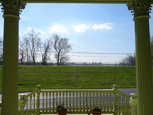
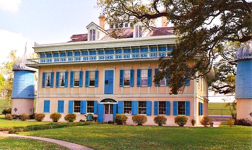
San Francisco Plantation, LA ~ view of the levee
sanfrancisco nhl la louisiana historic plantation historicpreservation nationalhistoriclandmark nationalregister nationalregisterofhistoricplaces garyville nrhp saintjohnthebaptistparish
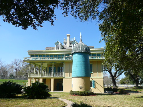
San Francisco Plantation, LA ~ side view
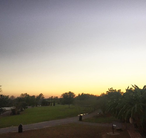
ocean morning travel blue trees light sunset red sea summer sky orange cloud sun sunlight lake color tree nature water colors beautiful beauty sunshine weather yellow skyline clouds sunrise season landscape dawn golden us louisiana colorful heaven view unitedstates natural bright outdoor background horizon scenic meadow dramatic sunny scene swamp environment cypress cloudscape laplace maurepas
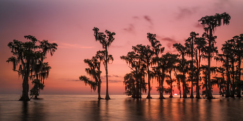
Surnise on Lake Maurepas
square squareformat normal iphoneography instagramapp uploaded:by=instagram foursquare:venue=4e277ce852b1c37d35b8f26c
Look past the smudges and enjoy the view. #roadtrip #louisiana #nofilter #iPhonehdr
louisiana plantation mississippiriver creole bluepink sanfranciscoplantation southlouisiana marathonoilcompany
San Francisco Plantation Home (rear view)
lake bay louisiana kayak swamp freshwater barataria lacdesallemands floatla
foot view facing north, former barge area, Lac Des Allemands
geotagged louisiana shell refinery norco usarmycorpsofengineers montz stcharlesparish motiva bonnetcarrespillway geo:lat=30003781 geo:lon=9045332
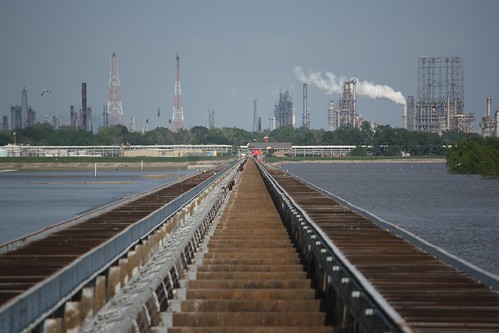
Down the Spillway
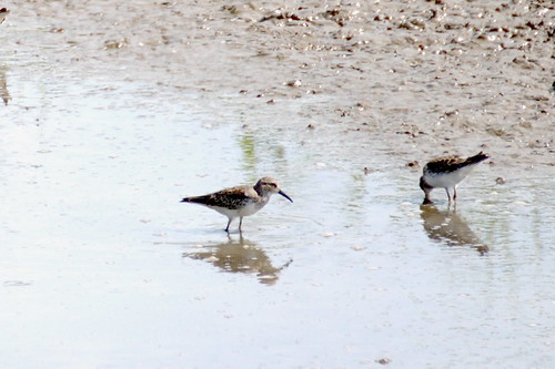
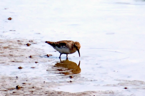
usa bird fall gulfofmexico water fauna rural us october louisiana neworleans unitedstatesofamerica mississippiriver peep birdwatching naturalworld rivervalley mudflat gulfcoast shorebird leastsandpiper lakepontchartrain southernunitedstates ruralscenes calidrisminutilla aquaticbird stcharlesparish bonnetcarrespillway riverplain photogeorge nikond750 acdseeultimate8
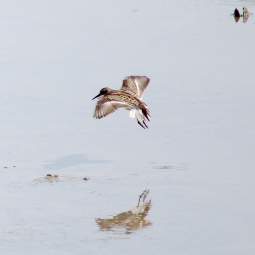
Least Sandpiper (Calidris minutilla) - view 03
square squareformat iphoneography instagramapp uploaded:by=instagram
View from the master's suite. #whitneyplantation #slavery #history
usa bird fall gulfofmexico water fauna rural us october louisiana neworleans unitedstatesofamerica mississippiriver peep birdwatching naturalworld rivervalley mudflat gulfcoast shorebird leastsandpiper lakepontchartrain southernunitedstates ruralscenes calidrisminutilla stcharlesparish bonnetcarrespillway riverplain photogeorge nikond750 acdseeultimate8
Least Sandpiper (Calidris minutilla) - view 01
usa bird fall gulfofmexico water fauna rural us october louisiana neworleans unitedstatesofamerica mississippiriver peep birdwatching naturalworld rivervalley mudflat gulfcoast shorebird leastsandpiper lakepontchartrain southernunitedstates ruralscenes calidrisminutilla aquaticbird stcharlesparish bonnetcarrespillway riverplain photogeorge nikond750 acdseeultimate8
Least Sandpiper (Calidris minutilla) - view 02
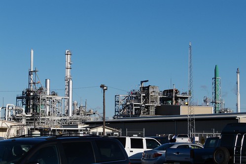
usa geotagged parkinglot louisiana unitedstates reserve smokestack flare chemicalplant dpe industrialsite bellepoint geo:lat=3005677437 geo:lon=9052828252 refiningcolumn
Industrial Site
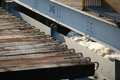
water geotagged louisiana pins norco spillway 349 usarmycorpsofengineers stcharlesparish bonnetcarre geo:lat=30000673 geo:lon=90429086
Spillway Pins
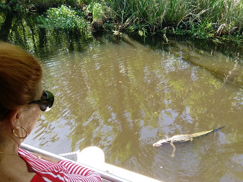
louisiana alligator cajun cajunswamptour
Cajun Swamp 1
nature water birds landscape louisiana swamp blueheron egrets laplace canonef70300mmf4556isusm mrgreenjeans gaylon 165mm swampscene peavinerd frenier gaylonkeeling
Peavine Rd
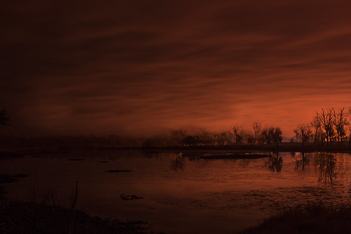
morning trees light red orange plant water sunrise landscape outdoors early louisiana power neworleans nuclear explore shade swamp whitebalance waterway spillway nuclearpowerplant stcharlesparish 172014 canoneos70d photographyforrecreationclassic explorejanuary72014
the gentle romantic light of nuclear power
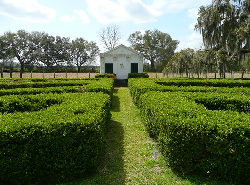
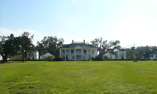
garden nhl la louisiana historic plantation historicpreservation privy nationalhistoriclandmark nationalregister nationalregisterofhistoricplaces nrhp evergreenplantation
Evergreen Plantation, LA ~ garden and privy
house nhl la louisiana historic plantation historicpreservation nationalhistoriclandmark nationalregister nationalregisterofhistoricplaces nrhp evergreenplantation
Evergreen Plantation, LA ~ from gate
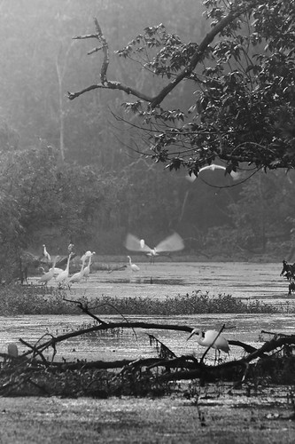
morning trees blackandwhite bw bird nature water birds landscape wildlife 300mm swamp thesouth roadside egret wetland egrets canonef70300mmf4556isusm mrgreenjeans gaylon louisina sportsmansparadise frenier gaylonkeeling
Lost World
garden nhl la louisiana screen historic historicpreservation nationalhistoriclandmark nationalregister nationalregisterofhistoricplaces nrhp evergreenplantation
garden through a screen
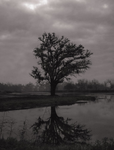
morning blackandwhite bw tree monochrome fog landscape louisiana neworleans efs1855mm explore swamp stcharlesparish bonnetcarréspillway canoneos70d
MIA Sunrise! Only yucky gray fog
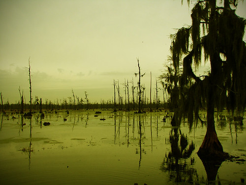
trees nature water yellow photoshop reflections landscape outdoors louisiana swamp cypress marsh silhoutte norco spillway bonnecarre ibeauty bayoulabranche
Yellow Swamp
new trip river claire orleans eau
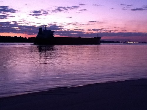
Last Night Camping - Tankers Like This Nearly Washed Our Boats Away!
uploaded:by=flickrmobile flickriosapp:filter=nofilter
Louisiana Sugar Plantation
Louisiana Cane
lake lakepontchartrain peavine laplace instagram
lake pontchartrain
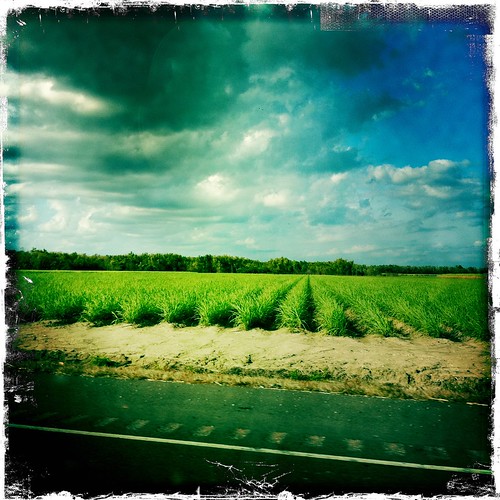
louisiana riverroad iphone hipstamatic
sugar cane fields
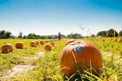
haloween pumpkinpatch nathaniel
2010.10.17 pumpkin patch-6
haloween pumpkinpatch nathaniel
2010.10.17 pumpkin patch-10
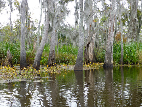
Bayou Swamp
art mike photography photo image picture pic photograph duhe photograpgic mwduhe mduhe
Hwy 51 Swamp
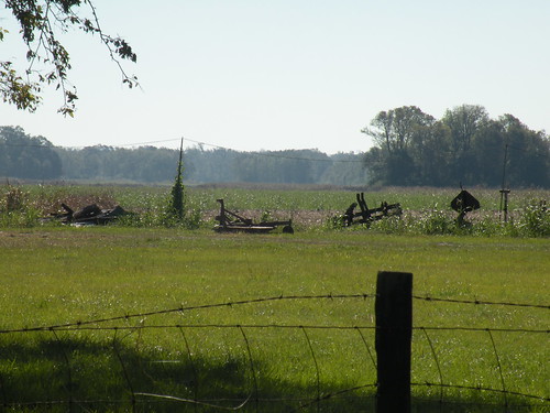
Country Field
neworleans
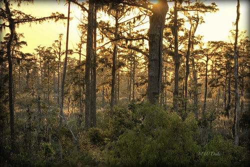
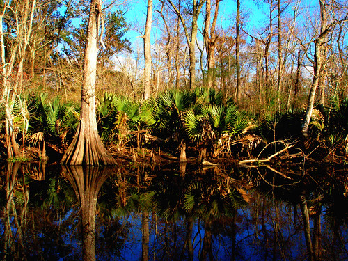
Cypress and Tupelo Swamp
trees water louisiana bayou
Louisiana Bayou