Elevation of Centerville, KS, USA
Location: United States > Kansas > Neosho County >
Longitude: -95.2893433
Latitude: 37.4992238
Elevation: 294m / 965feet
Barometric Pressure: 0KPa
Related Photos:
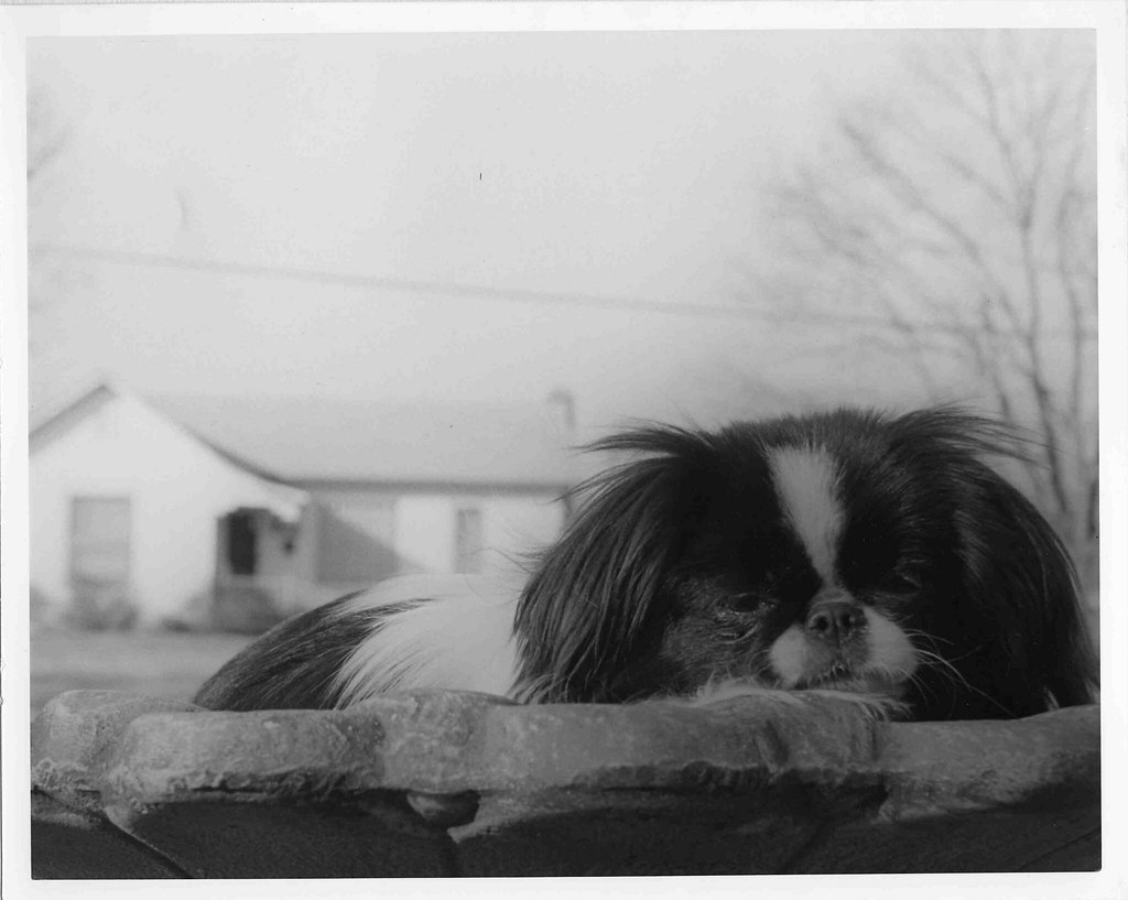
Princess Sophie
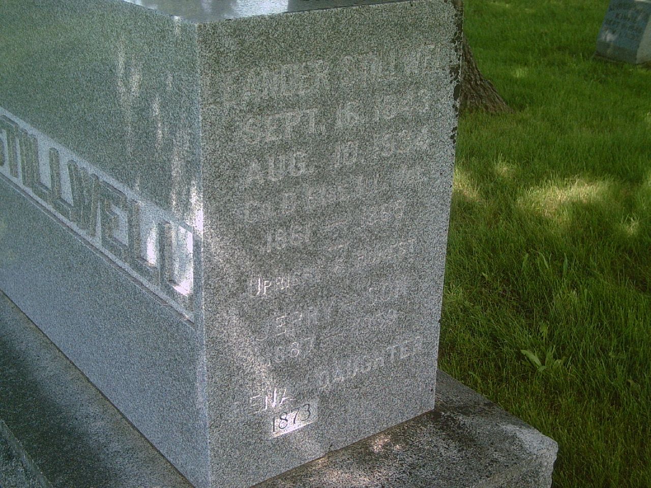
Leander Stillwell
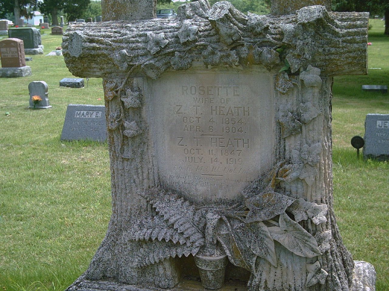
Zachariah Heath
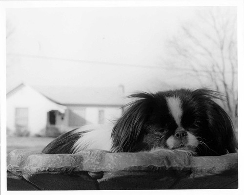
worm's eye view: Princess Sophie
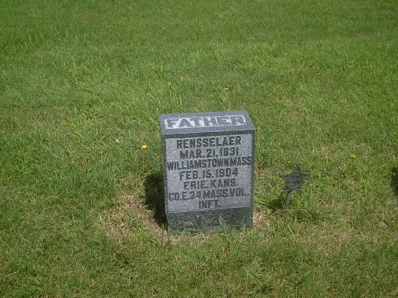
Rensselaer Butler
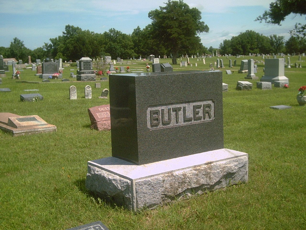
Rensselaur Butler1
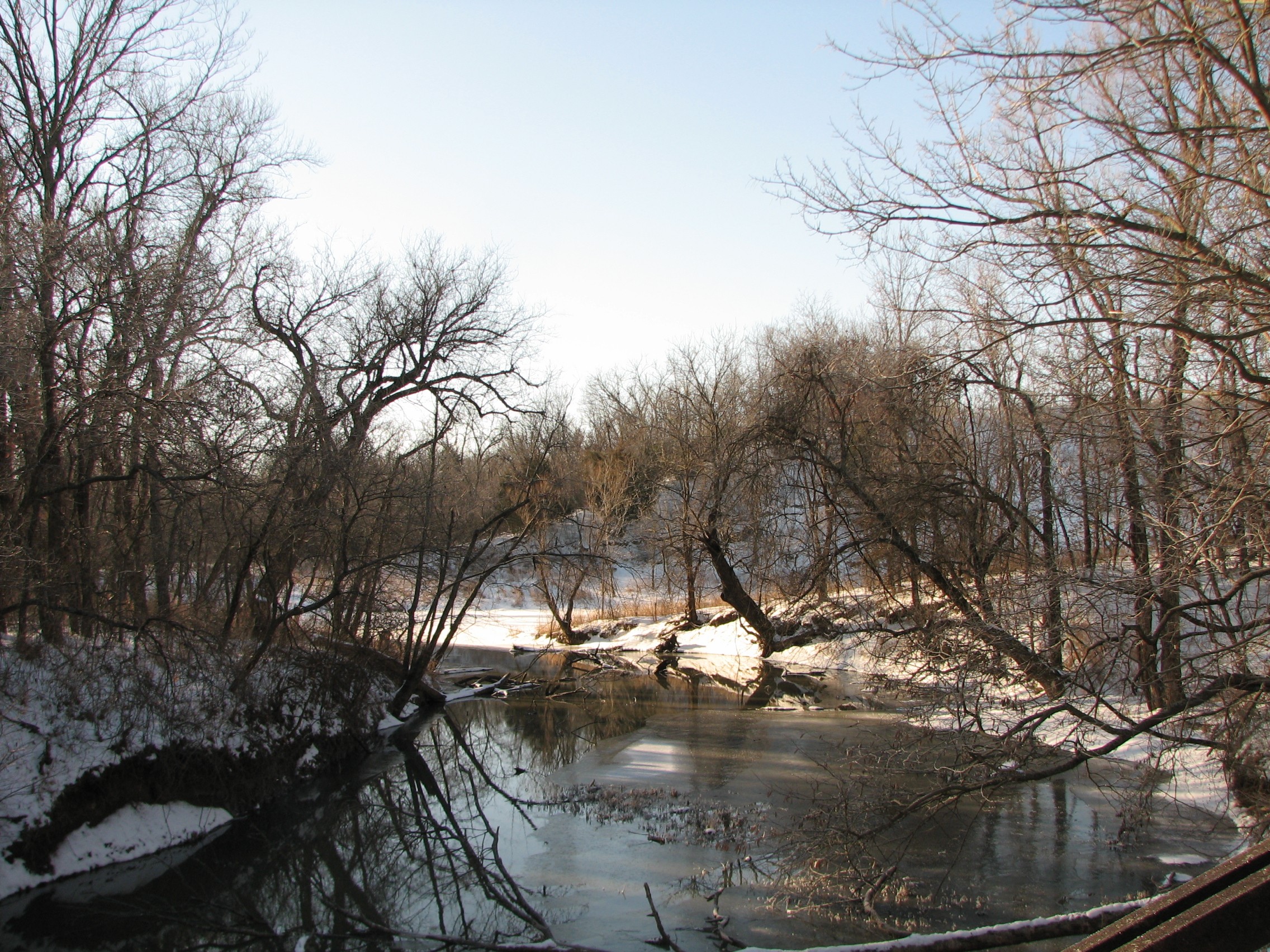
view from a bridge 2
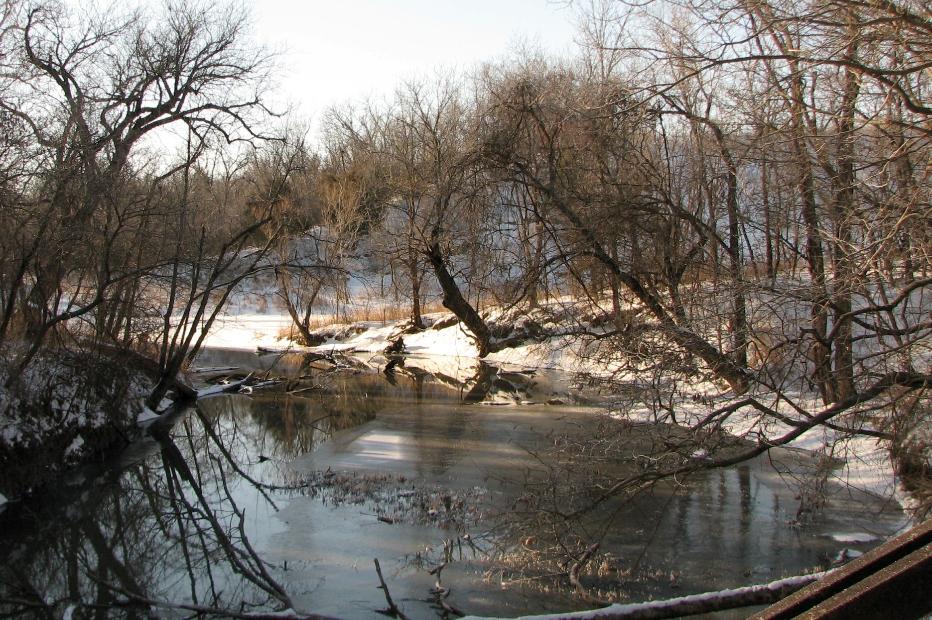
view from a bridge

St. Francis de Hieronymo Church

St. Francis de Hieronymo Church

Stone Pile at Tolen Creek

Rock-lined Trail at Tolen Creek
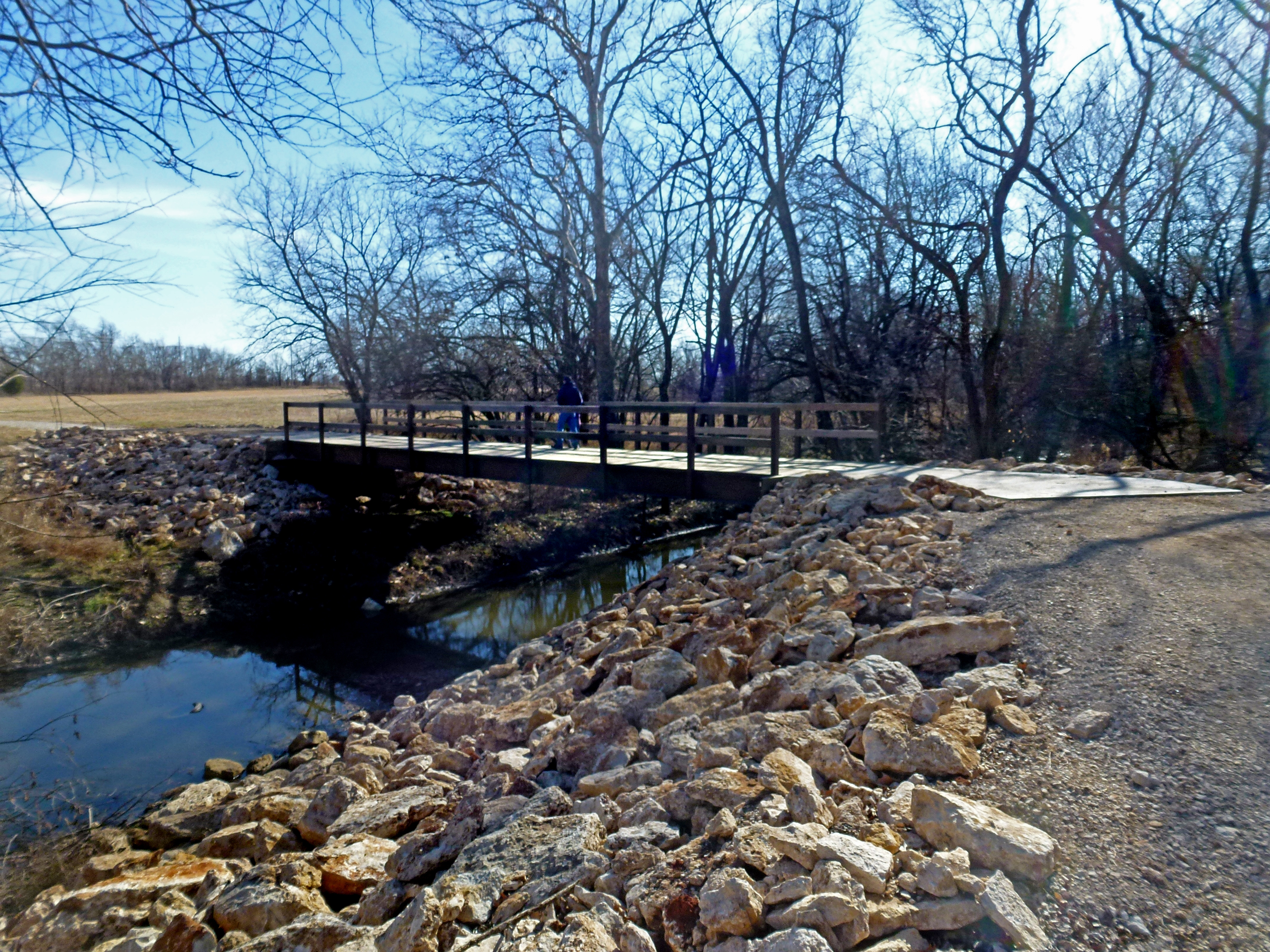
Tolen Creek Bridge
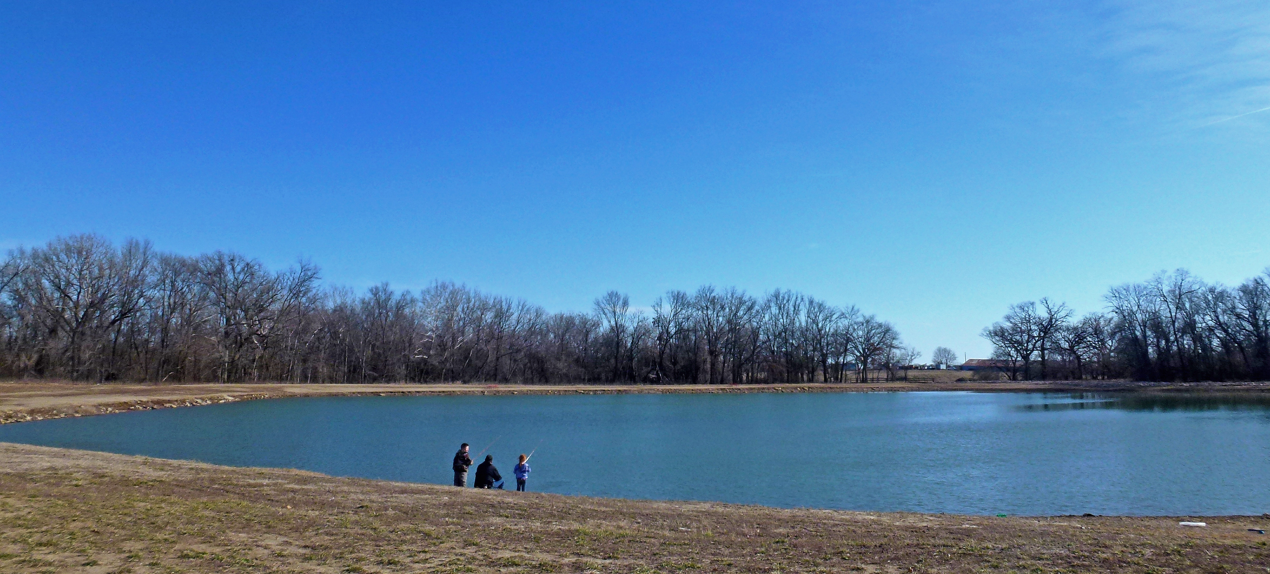
Fishing at Tolen Creek Trails

Fishing at Tolen Creek Pond

Parsons, KS Cemeteries

Parsons, KS Cemeteries
Topographic Map of Centerville, KS, USA
Find elevation by address:

Places in Centerville, KS, USA:
Places near Centerville, KS, USA:
14950 115th Rd
Tomkins Industries
16 Walnut St, Galesburg, KS, USA
Galesburg
S Main St, Erie, KS, USA
Erie
Erie
Gilmore Street
Neosho County
Saint Paul
St. Paul Elementary School
Mission
242 Carroll St
Va Medical Center Parsons
Pizzo's Restaurant
Elm Ave, Parsons, KS, USA
Parsons State Hospital And Training Center
995 Pratt Rd
Rose, Dr. Thomas A
Downtown Soup And Salad
Recent Searches:
- Elevation of 8, Rue de Bécancour, Blainville, Thérèse-De Blainville, Quebec, J7B1N2, Canada
- Elevation of Wilmot Court North, 163, University Avenue West, Northdale, Waterloo, Region of Waterloo, Ontario, N2L6B6, Canada
- Elevation map of Panamá Province, Panama
- Elevation of Balboa, Panamá Province, Panama
- Elevation of San Miguel, Balboa, Panamá Province, Panama
- Elevation of Isla Gibraleón, San Miguel, Balboa, Panamá Province, Panama
- Elevation of 4655, Krischke Road, Schulenburg, Fayette County, Texas, 78956, USA
- Elevation of Carnegie Avenue, Downtown Cleveland, Cleveland, Cuyahoga County, Ohio, 44115, USA
- Elevation of Walhonding, Coshocton County, Ohio, USA
- Elevation of Clifton Down, Clifton, Bristol, City of Bristol, England, BS8 3HU, United Kingdom
- Elevation map of Auvergne-Rhône-Alpes, France
- Elevation map of Upper Savoy, Auvergne-Rhône-Alpes, France
- Elevation of Chamonix-Mont-Blanc, Upper Savoy, Auvergne-Rhône-Alpes, France
- Elevation of 908, Northwood Drive, Bridge Field, Chesapeake, Virginia, 23322, USA
- Elevation map of Nagano Prefecture, Japan
- Elevation of 587, Bascule Drive, Oakdale, Stanislaus County, California, 95361, USA
- Elevation of Stadion Wankdorf, Sempachstrasse, Breitfeld, Bern, Bern-Mittelland administrative district, Bern, 3014, Switzerland
- Elevation of Z024, 76, Emil-von-Behring-Straße, Marbach, Marburg, Landkreis Marburg-Biedenkopf, Hesse, 35041, Germany
- Elevation of Gaskill Road, Hunts Cross, Liverpool, England, L24 9PH, United Kingdom
- Elevation of Speke, Liverpool, England, L24 9HD, United Kingdom