Elevation of Centennial Lake Rd, Griffith, ON K0J 2R0, Canada
Location: Canada > Ontario > Renfrew County > Greater Madawaska > Griffith >
Longitude: -77.065354
Latitude: 45.1735684
Elevation: 269m / 883feet
Barometric Pressure: 98KPa
Elevation Map:
Satellite Map:
Related Photos:
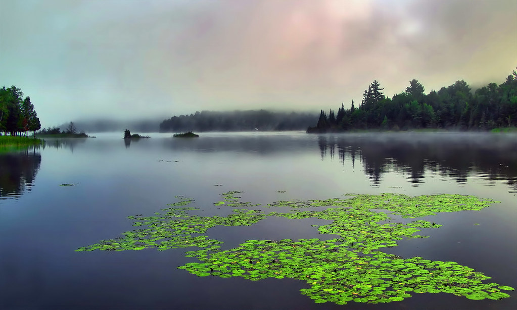
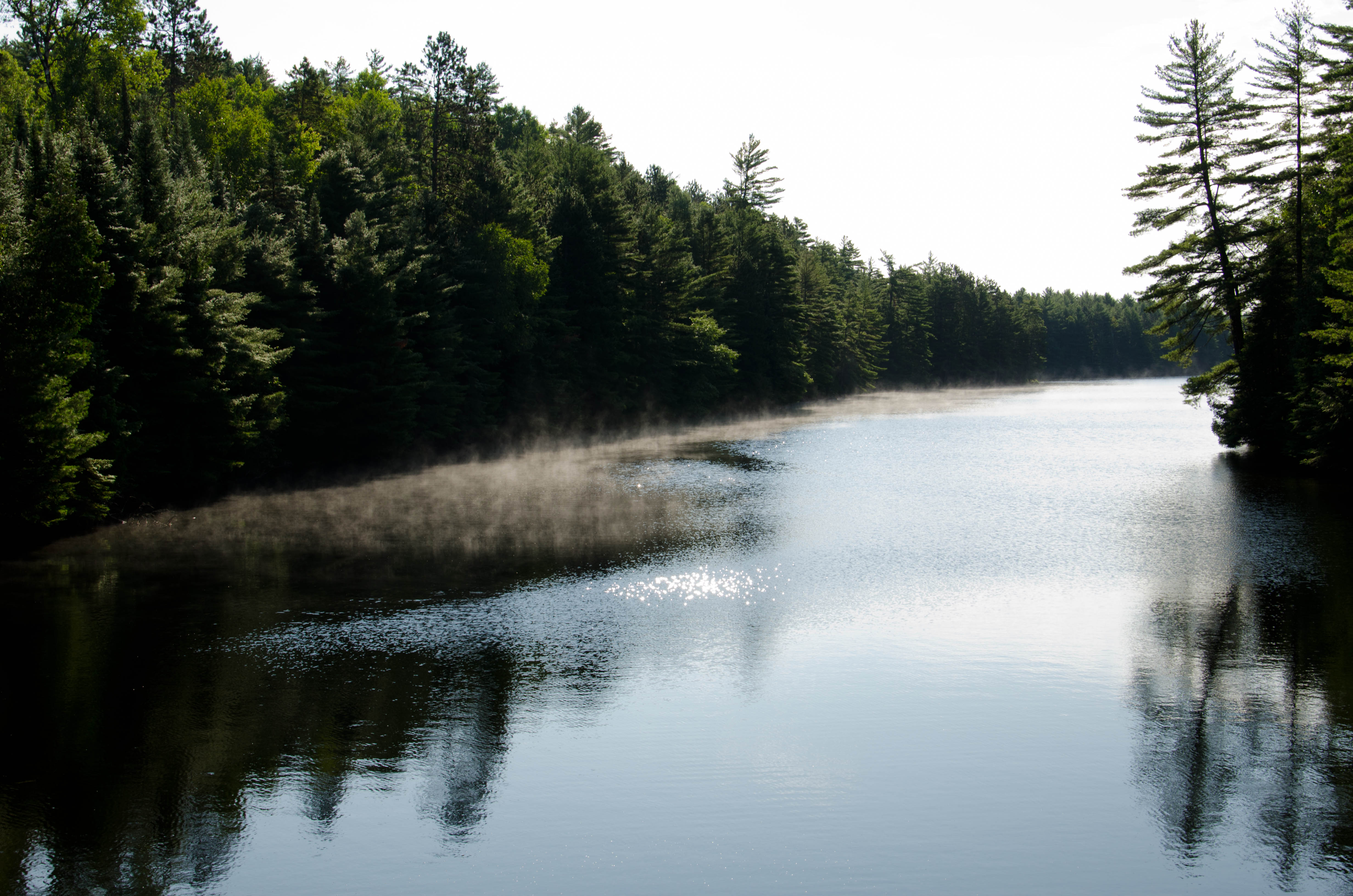
Beauty Madawaska

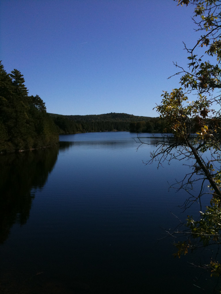
View of Round Schooner lake
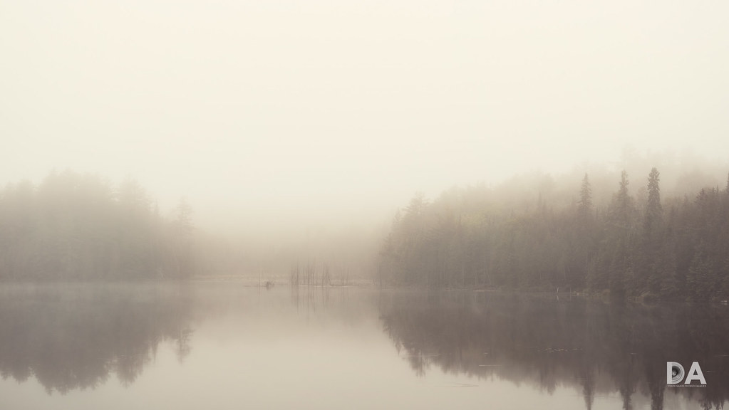
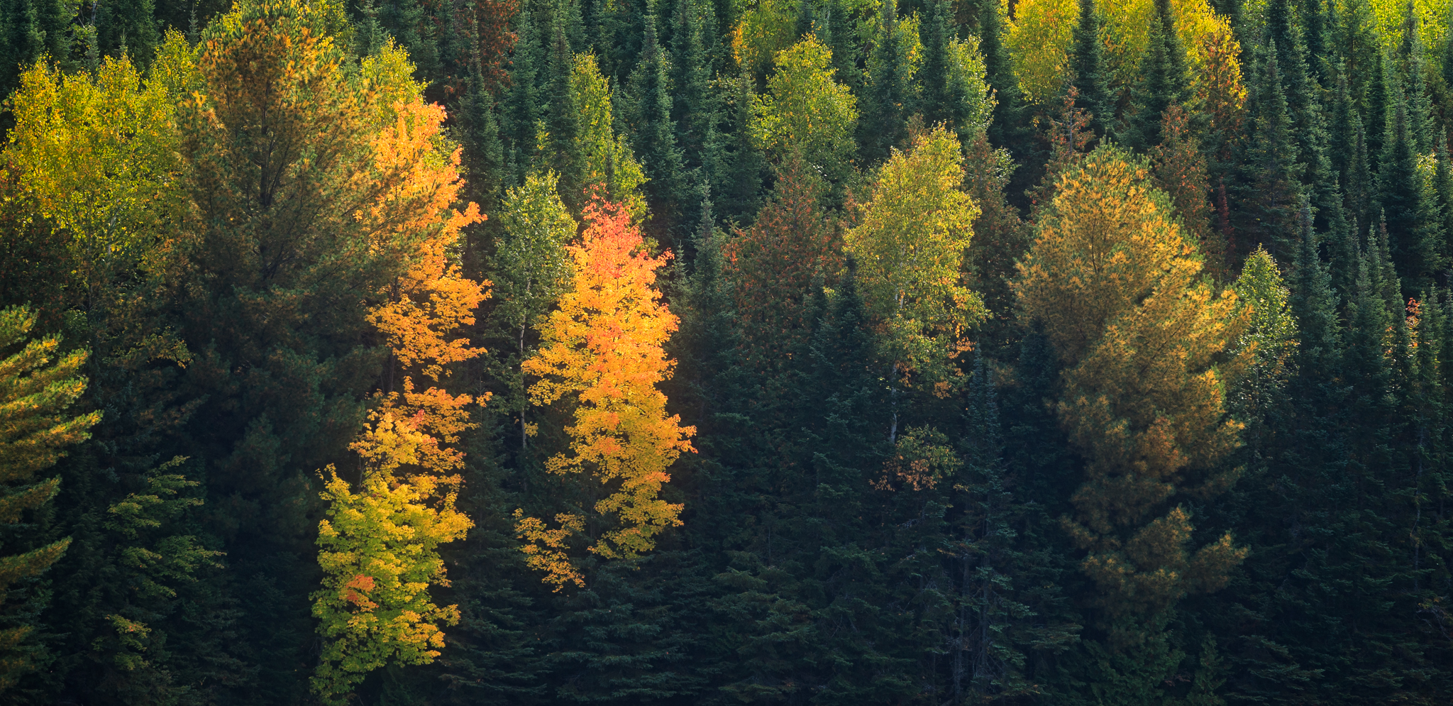
Enter the Moody Season
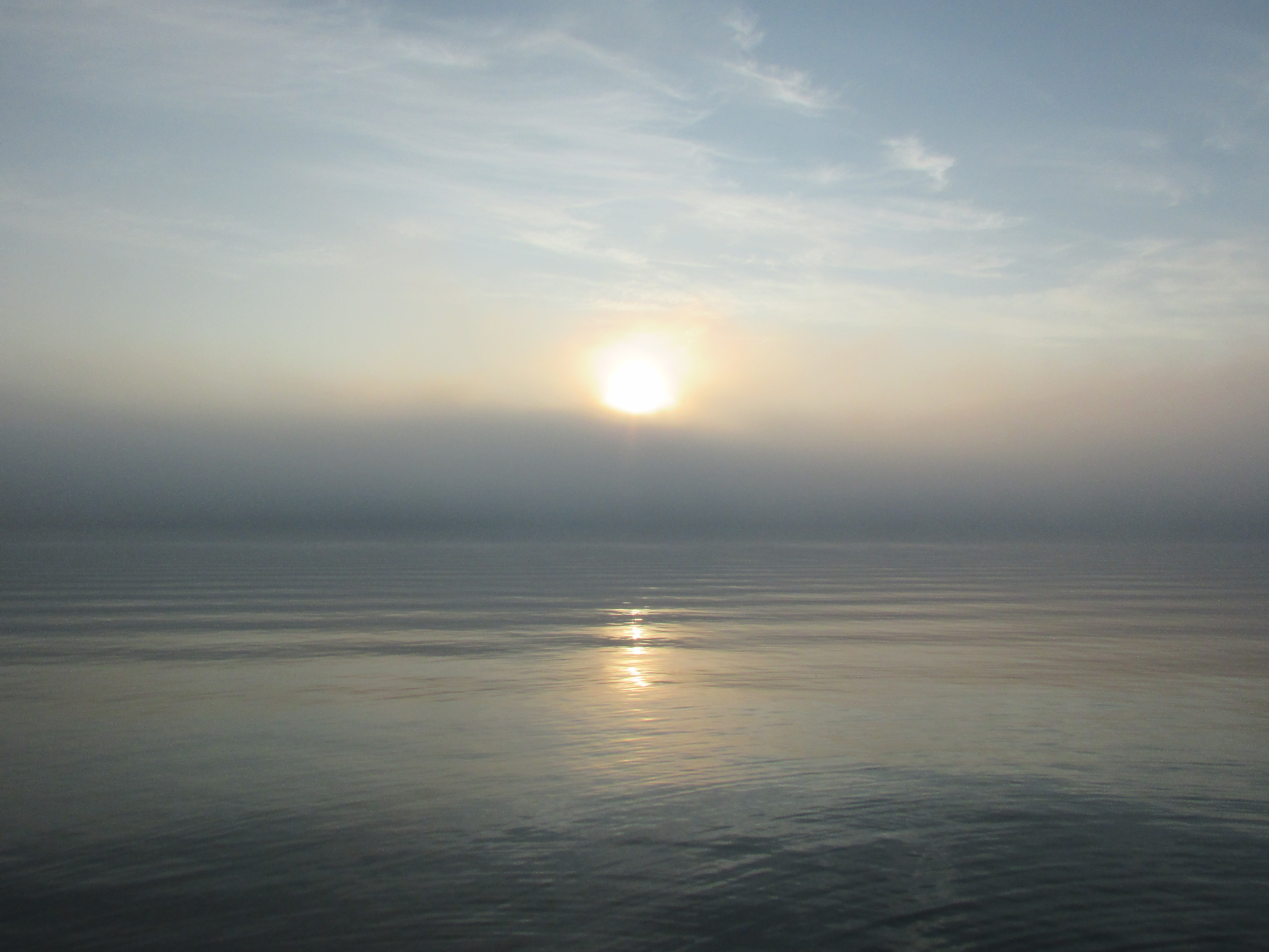
The Sky's the Limit
Rundreise USA-Canada 13-19-08 Uhr 20. September 2009.jpg
Madawaska Hillside
Brule Lake

Calobogie Area
Calobogie Area
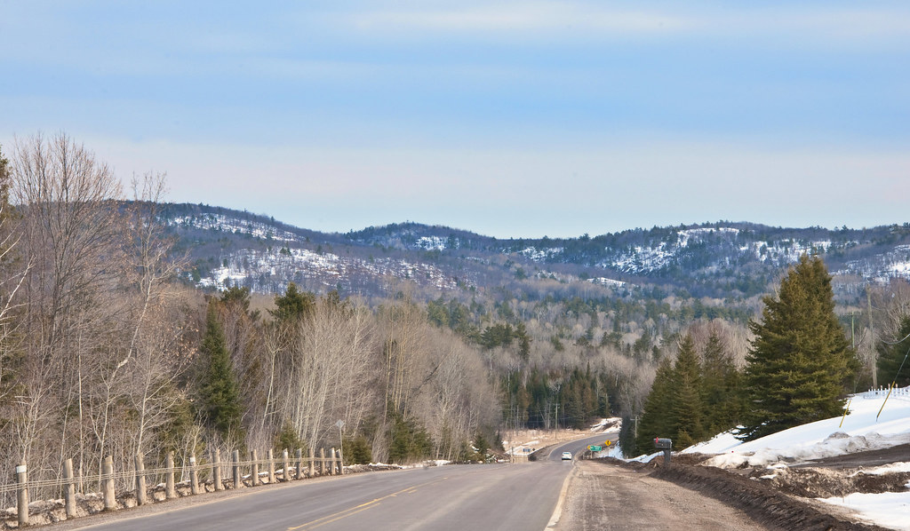
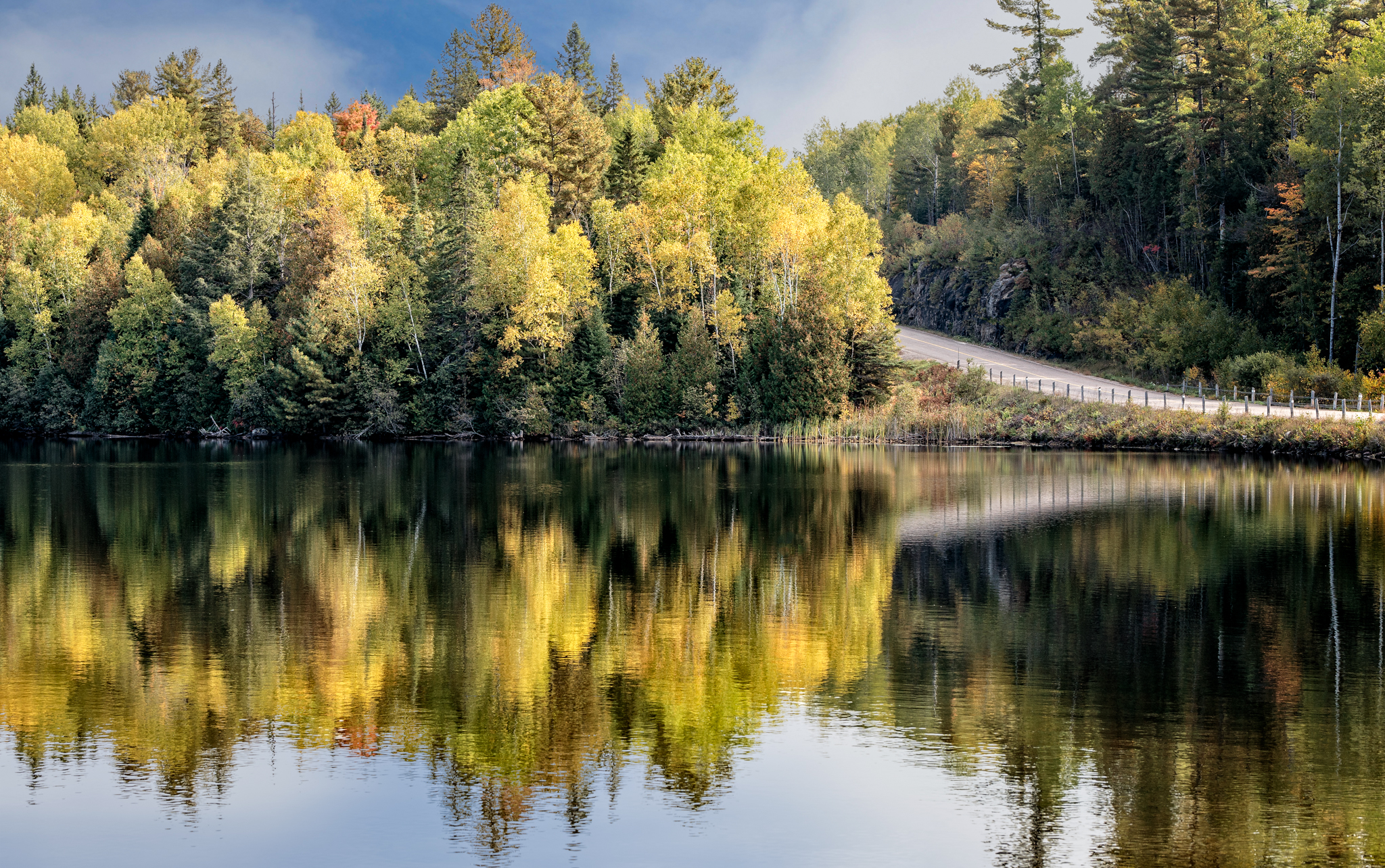
Hwy#41 & Madawaska Hills
Topographic Map of Centennial Lake Rd, Griffith, ON K0J 2R0, Canada
Find elevation by address:

Places near Centennial Lake Rd, Griffith, ON K0J 2R0, Canada:
Matawatchan
Griffith
Mountain Rd, Plevna, ON K0H 2M0, Canada
24927 Hwy 41
46 Ackroyd Ln
K7v 3z7
Greater Madawaska
21470 On-41
Norcan Lake
345 Kennelly Mountain Rd
345 Kennelly Mountain Rd
364 Chatson Dr
Denbigh
45 Central St
31 Central St
Unnamed Road
5626 On-132
Constant Lake
Balaclava
Mount Saint Patrick
Recent Searches:
- Elevation of Corso Fratelli Cairoli, 35, Macerata MC, Italy
- Elevation of Tallevast Rd, Sarasota, FL, USA
- Elevation of 4th St E, Sonoma, CA, USA
- Elevation of Black Hollow Rd, Pennsdale, PA, USA
- Elevation of Oakland Ave, Williamsport, PA, USA
- Elevation of Pedrógão Grande, Portugal
- Elevation of Klee Dr, Martinsburg, WV, USA
- Elevation of Via Roma, Pieranica CR, Italy
- Elevation of Tavkvetili Mountain, Georgia
- Elevation of Hartfords Bluff Cir, Mt Pleasant, SC, USA