Elevation of Cedron Rd, Jamestown, MO, USA
Location: United States > Missouri > Moniteau County > Linn Township > Jamestown >
Longitude: -92.562232
Latitude: 38.7725112
Elevation: 232m / 761feet
Barometric Pressure: 99KPa
Elevation Map:
Satellite Map:
Related Photos:
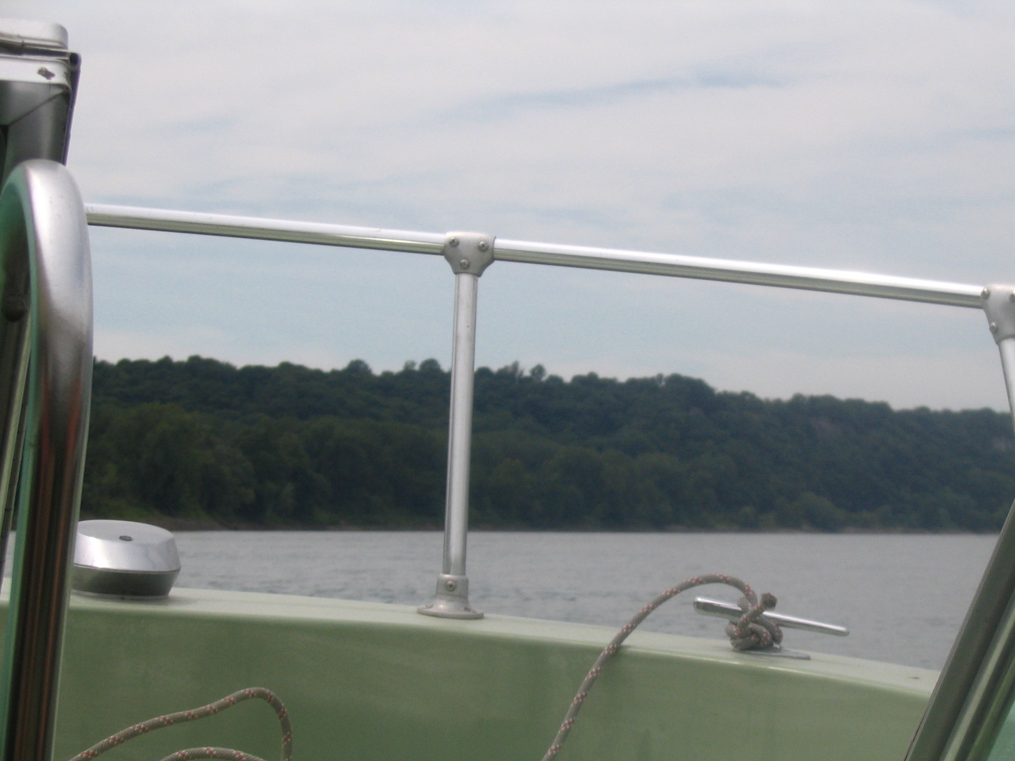
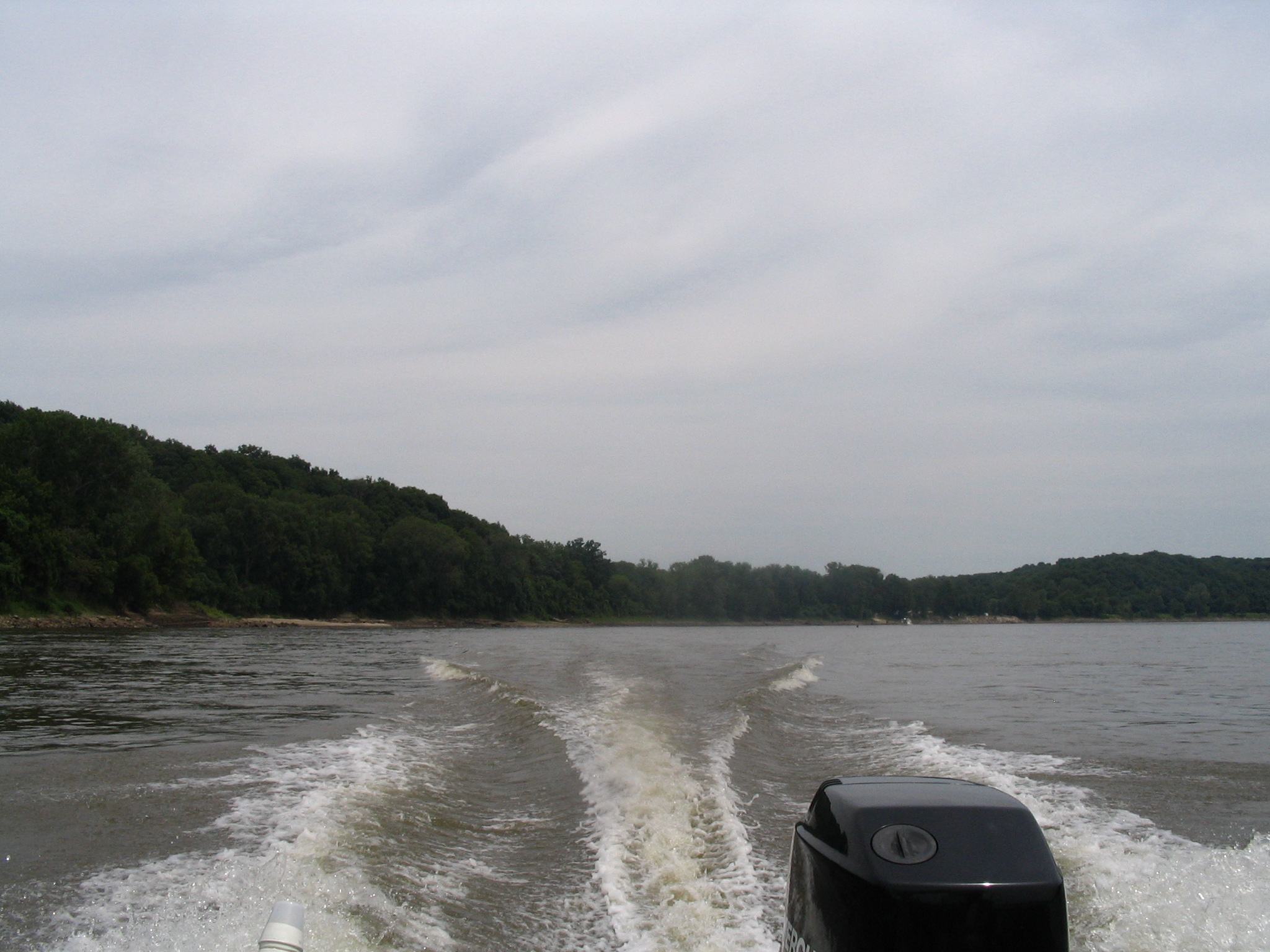
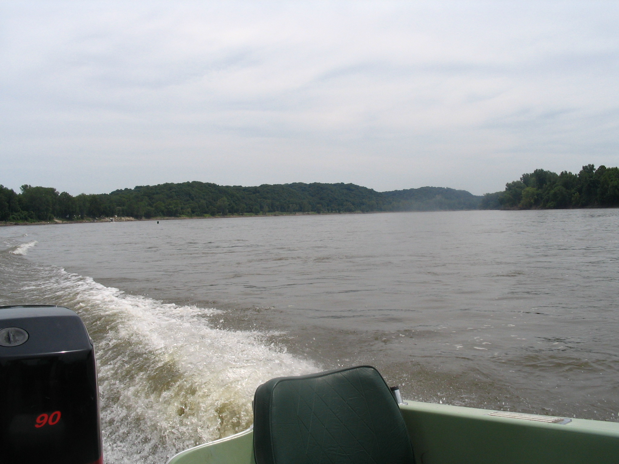
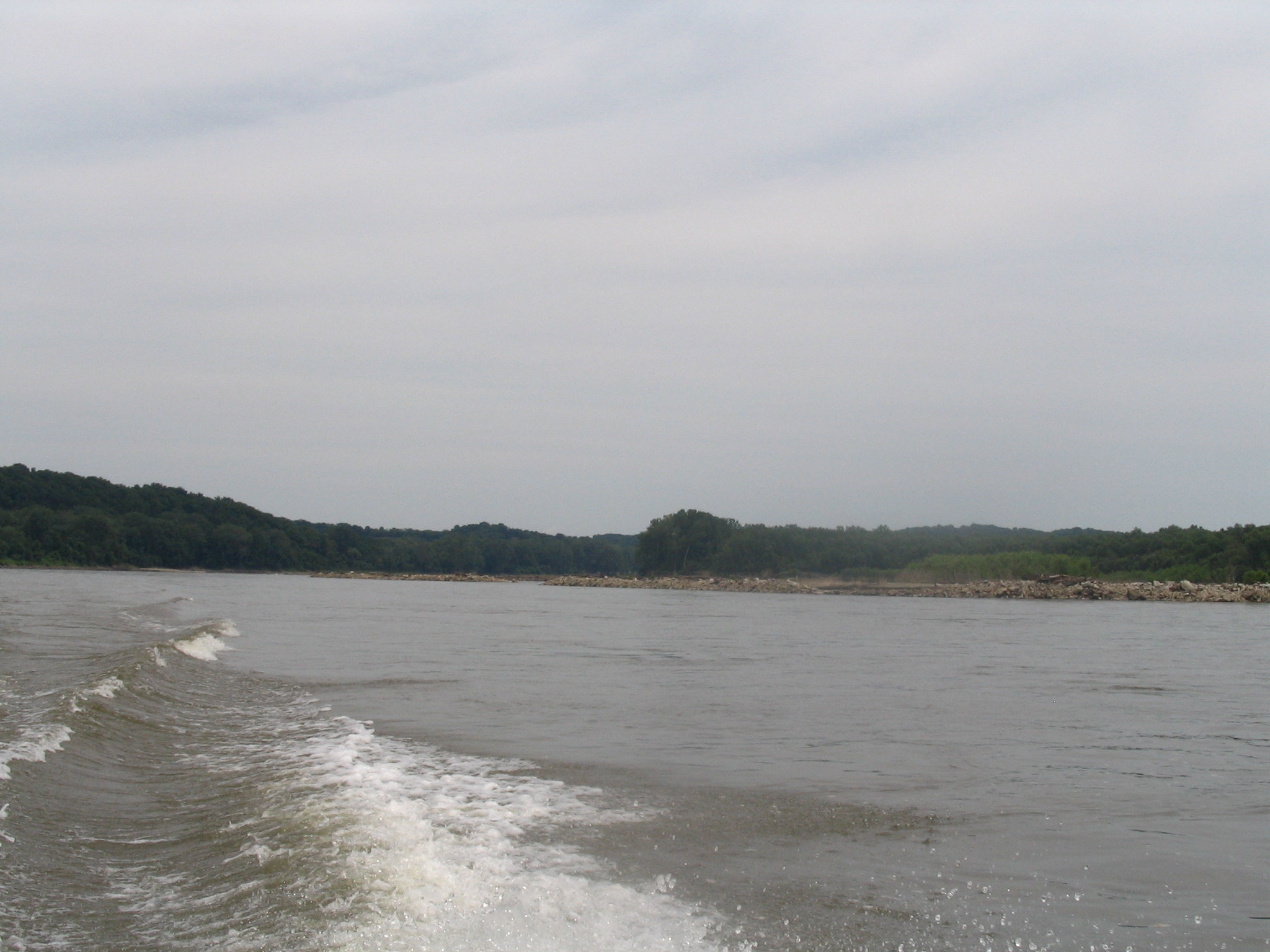
View from the boat

Romney-style

Redhead - Aythya americana
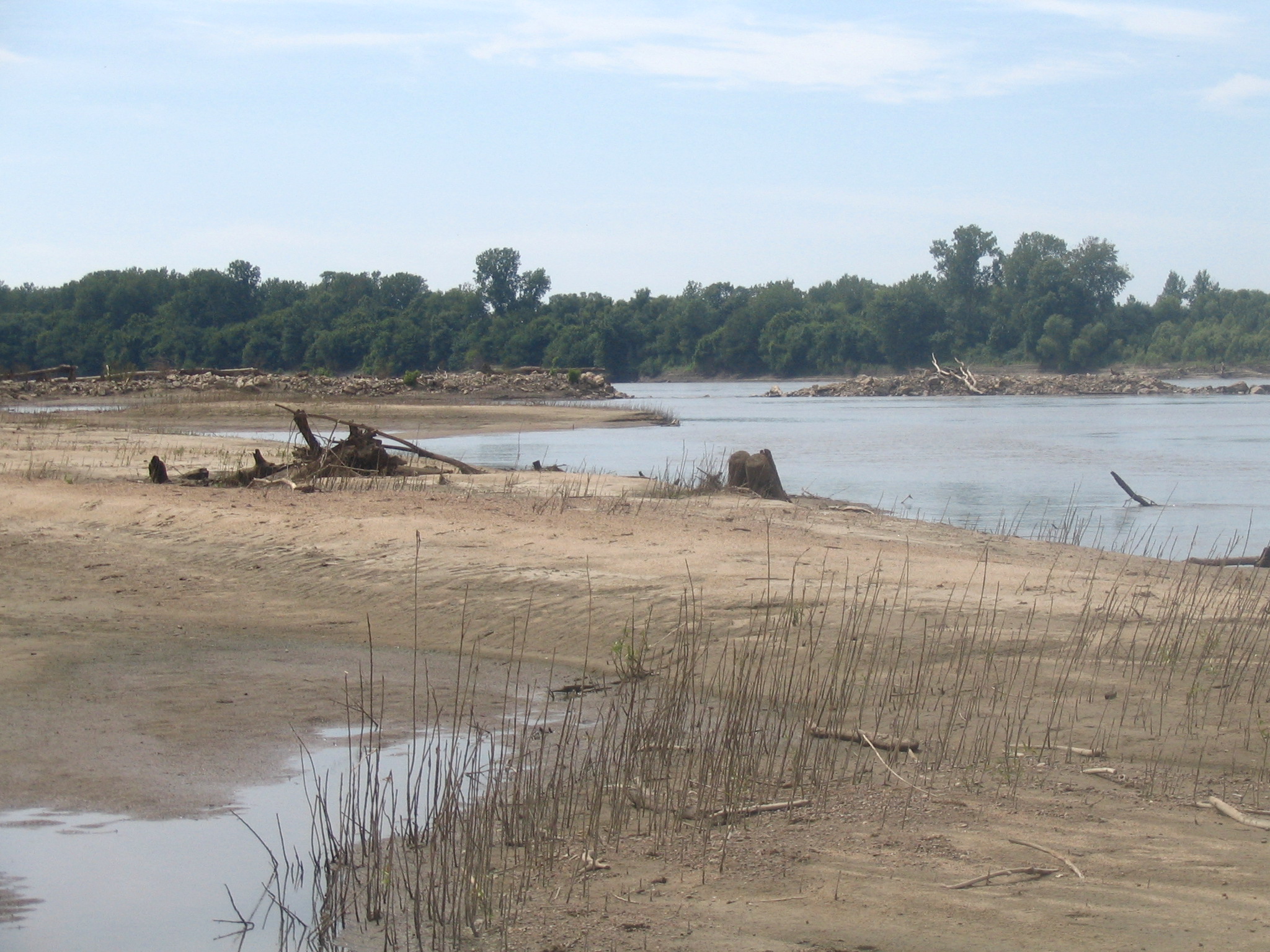
View from the sandbar
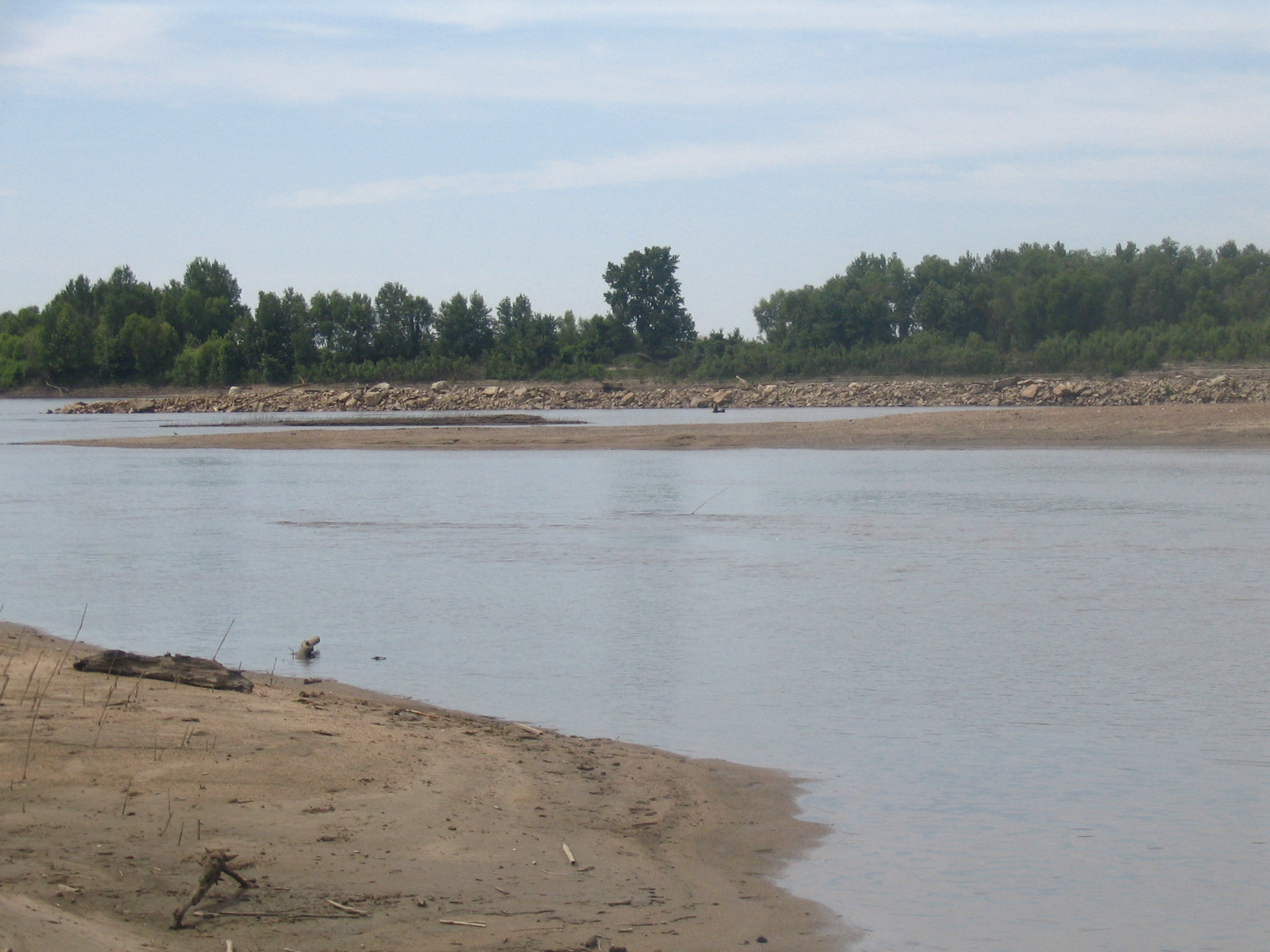
View from the sandbar
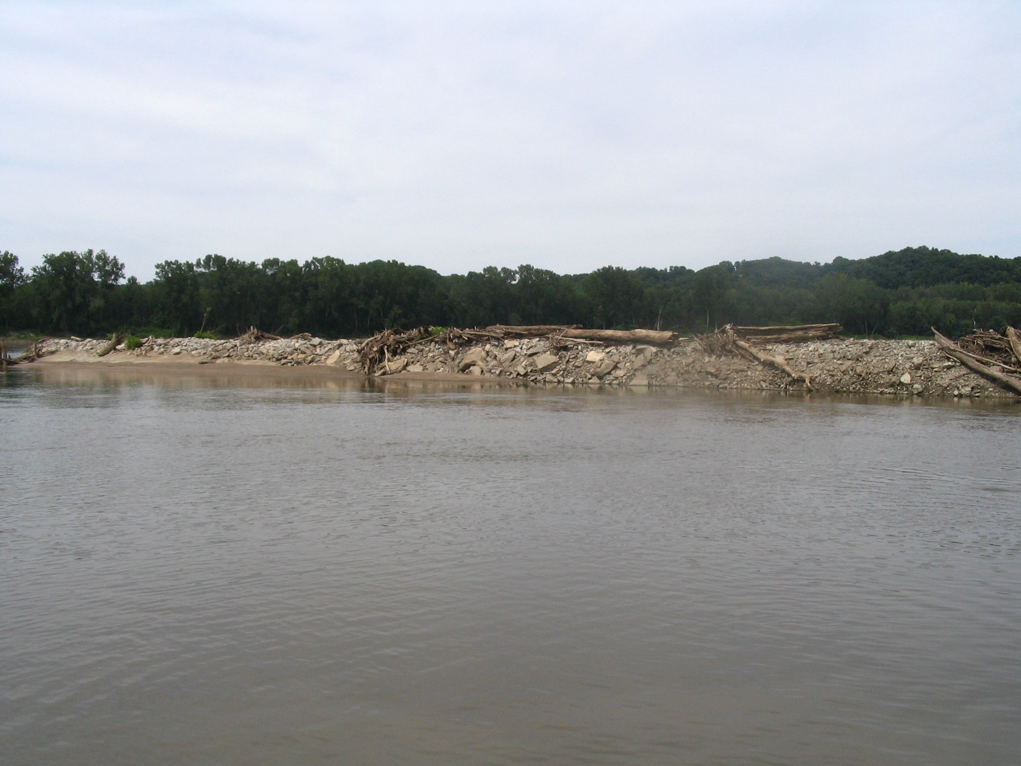
View from the sandbar

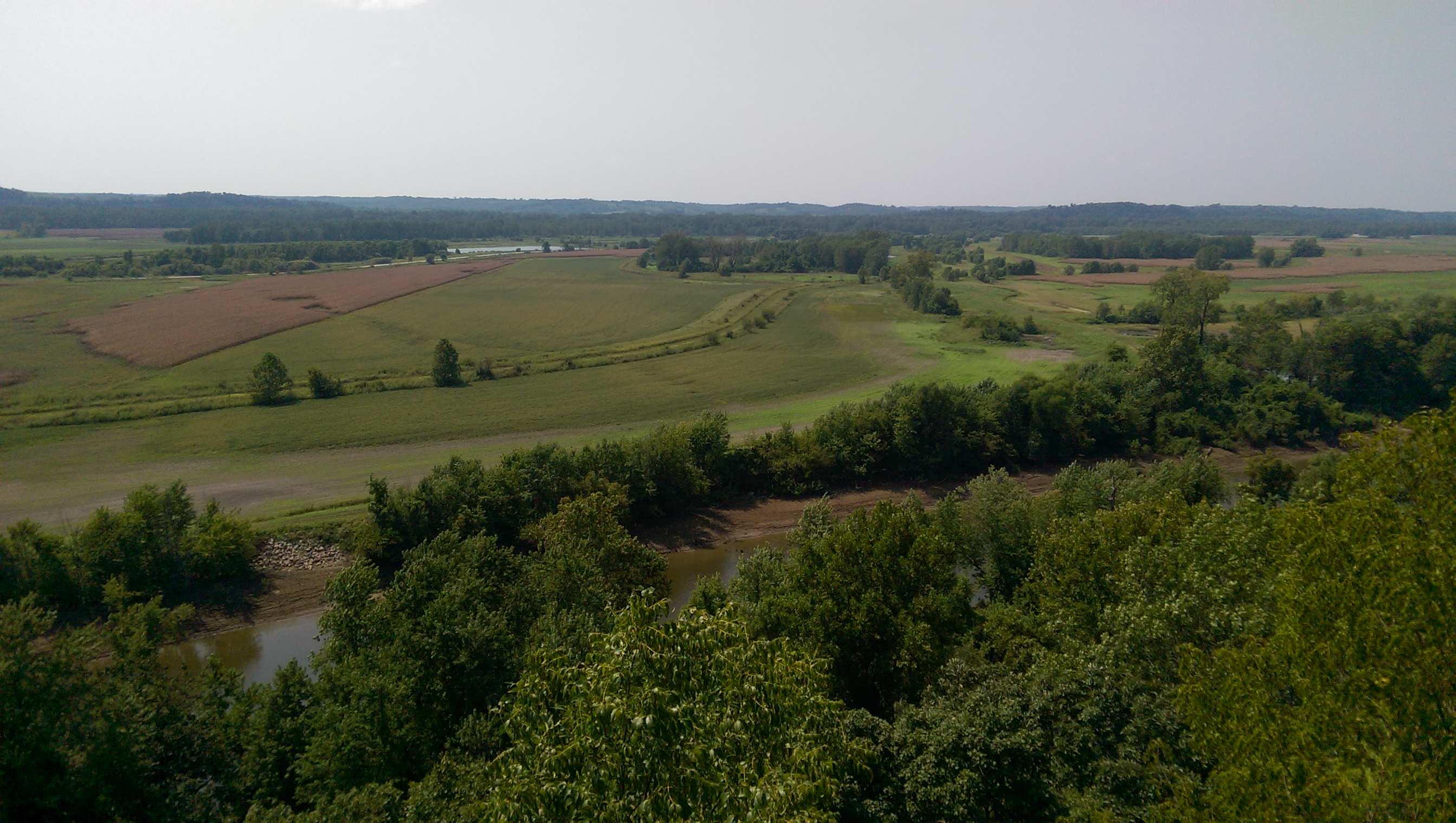
Missouri River at Eagle Bluffs Conservation Area
Easley, Aug 24, 2008

Cottonwood by Missouri River

Barn and Bluff Foliage on Missouri River Bottoms

Early Spring Foliage
Copp Chapel (3 of 4)
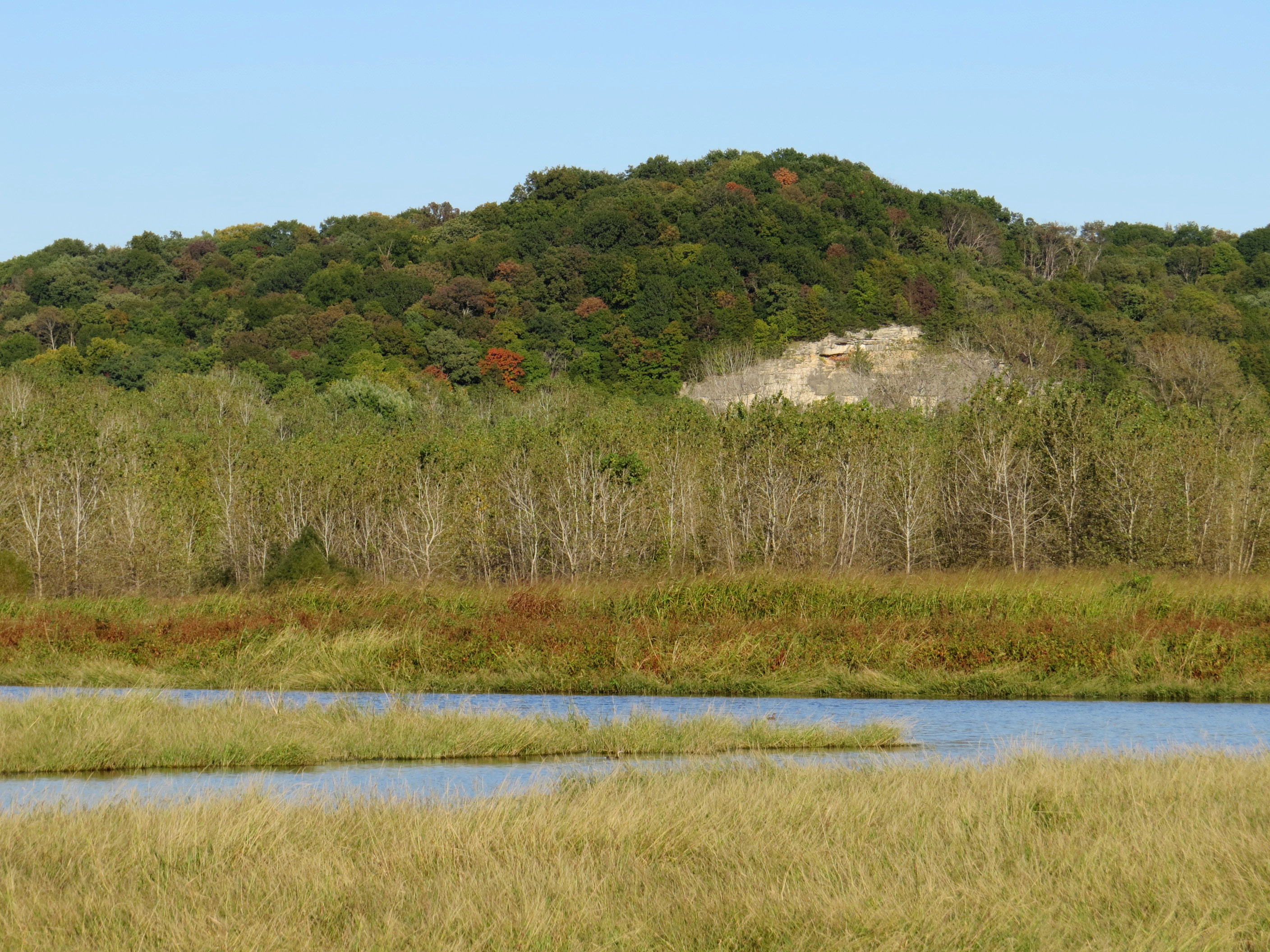
Eagle Bluffs
Copp Chapel (4 of 4)
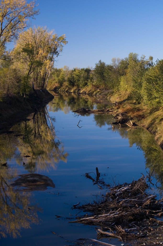
Perche Creek
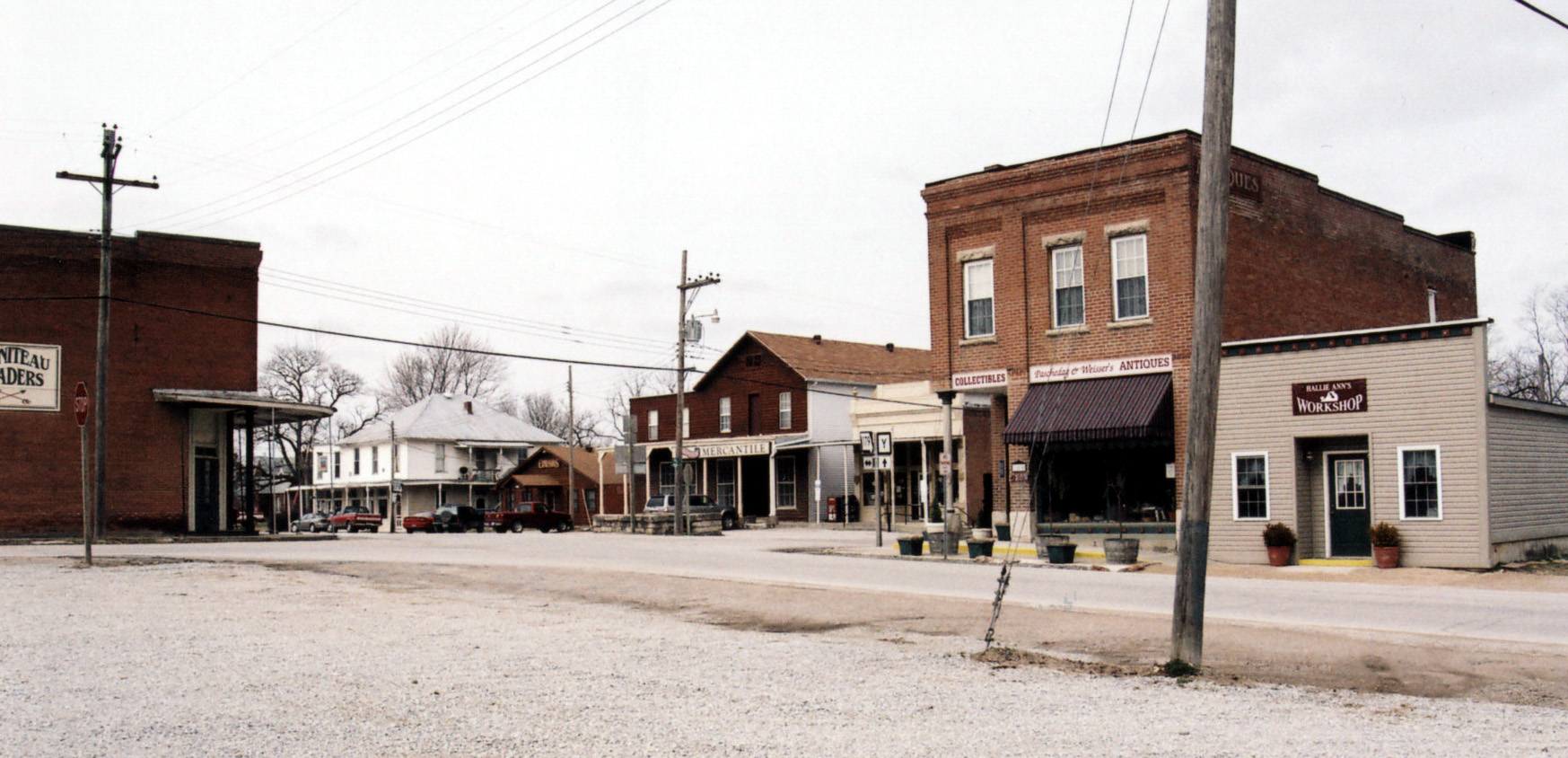
Jamestown, MO: You're lookin' at it
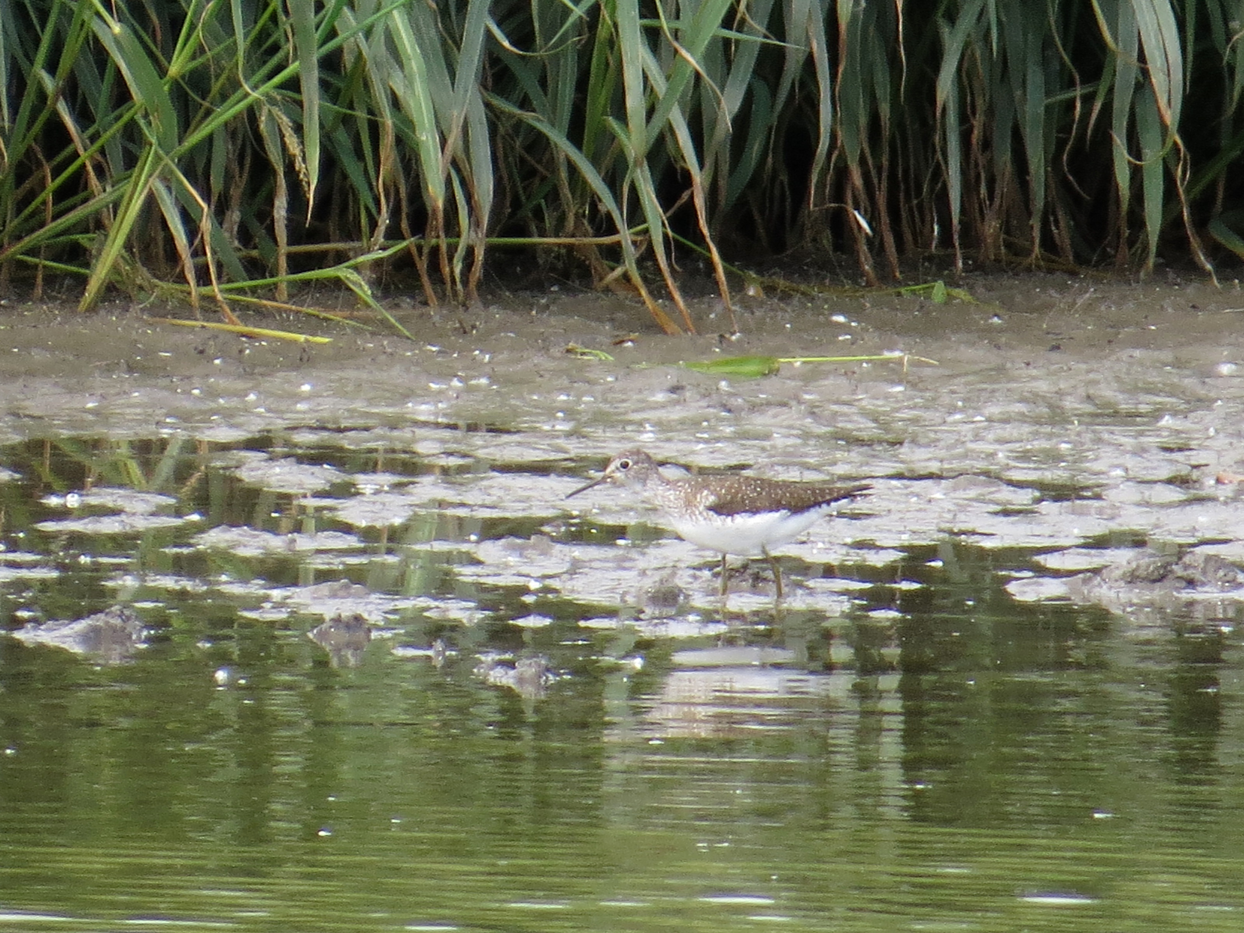
Solitary Sandpiper
In Chris' boat on the Missouri River
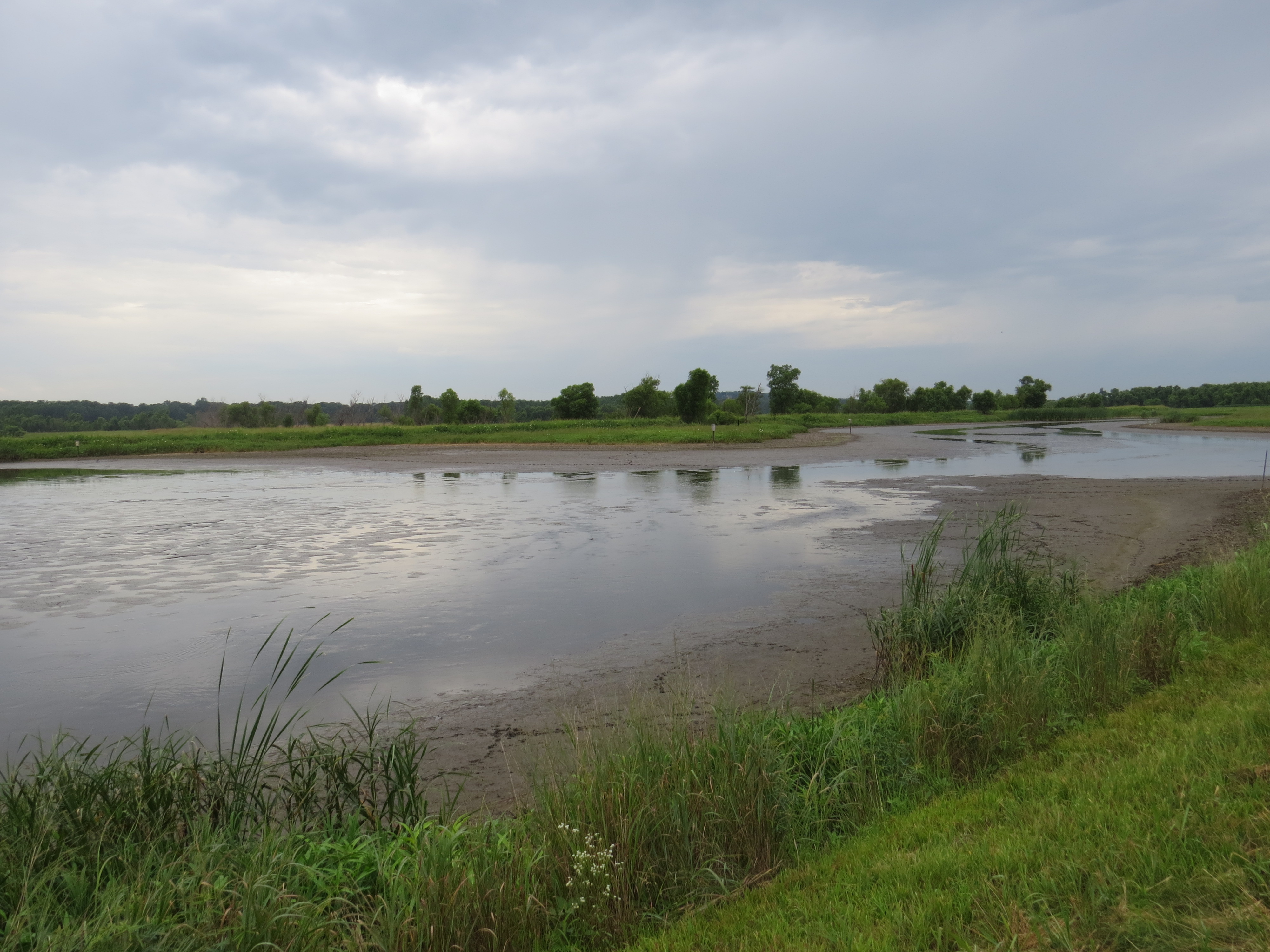
Distribution Channel, just beyond Pool 8, looking at the point that can be good for shorebirds
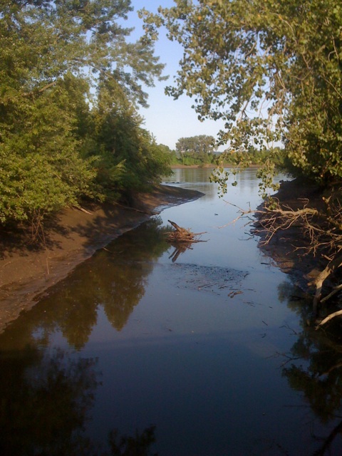
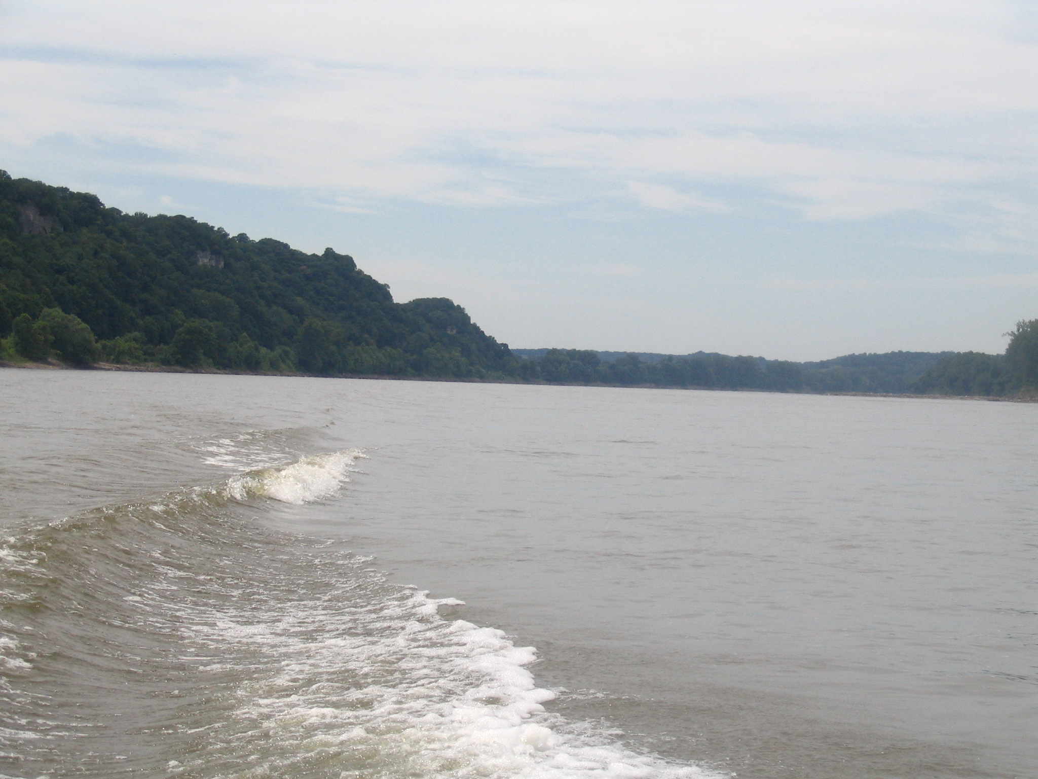
The Mighty Mo

Shop Location
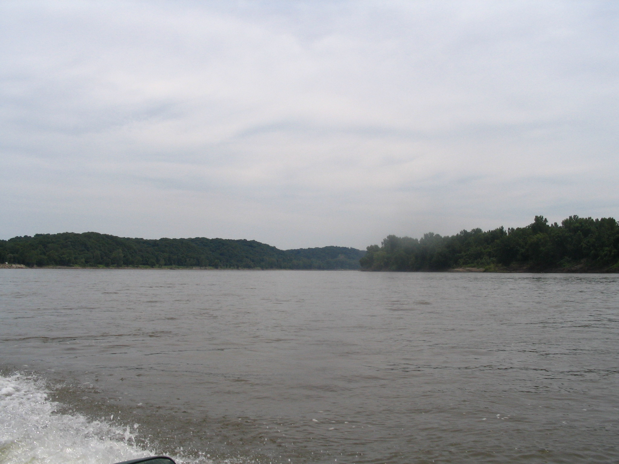
The river
The Mighty Mo
The river
Eagle Bluff
Topographic Map of Cedron Rd, Jamestown, MO, USA
Find elevation by address:

Places near Cedron Rd, Jamestown, MO, USA:
Jamestown
Linn Township
55929 Hwy P
Copps Chapel Rd, Wooldridge, MO, USA
Lupus Rd, Jamestown, MO, USA
Methodist St, Clarksburg, MO, USA
Clarksburg
Huntsdale
Sarr St, Columbia, MO, USA
Providence
Moreau Township
Rock Bridge
Easley
Moniteau County
Wilton
Centertown
Rte U, Centertown, MO, USA
Missouri N, Columbia, MO, USA
2205 Becky's Bluff Ct
West Nashville Church Road
Recent Searches:
- Elevation of Corso Fratelli Cairoli, 35, Macerata MC, Italy
- Elevation of Tallevast Rd, Sarasota, FL, USA
- Elevation of 4th St E, Sonoma, CA, USA
- Elevation of Black Hollow Rd, Pennsdale, PA, USA
- Elevation of Oakland Ave, Williamsport, PA, USA
- Elevation of Pedrógão Grande, Portugal
- Elevation of Klee Dr, Martinsburg, WV, USA
- Elevation of Via Roma, Pieranica CR, Italy
- Elevation of Tavkvetili Mountain, Georgia
- Elevation of Hartfords Bluff Cir, Mt Pleasant, SC, USA