Elevation of Cedar Point Rd, Patuxent River, MD, USA
Location: United States > Maryland > St. Mary's County > 8, Bay > Patuxent River >
Longitude: -76.435896
Latitude: 38.2769446
Elevation: 14m / 46feet
Barometric Pressure: 101KPa
Elevation Map:
Satellite Map:
Related Photos:

Atymna querci, California - Hollywood Quad, St. Mary's County, MD, 2017_0517

Dark Things

A "Super" Sunrise
Into the Dawn

Tipula longiventris, California - Hollywood Quad, St. Mary's County, MD, 2017_0520

Atymna querci, California - Hollywood Quad, St. Mary's County, MD, 2017_0517
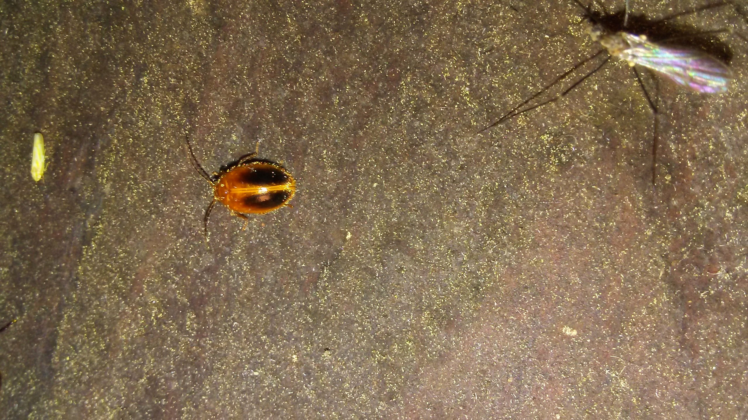
Prionocyphon limbatus, California - Hollywood Quad, St. Mary's County, MD, 2017_0501
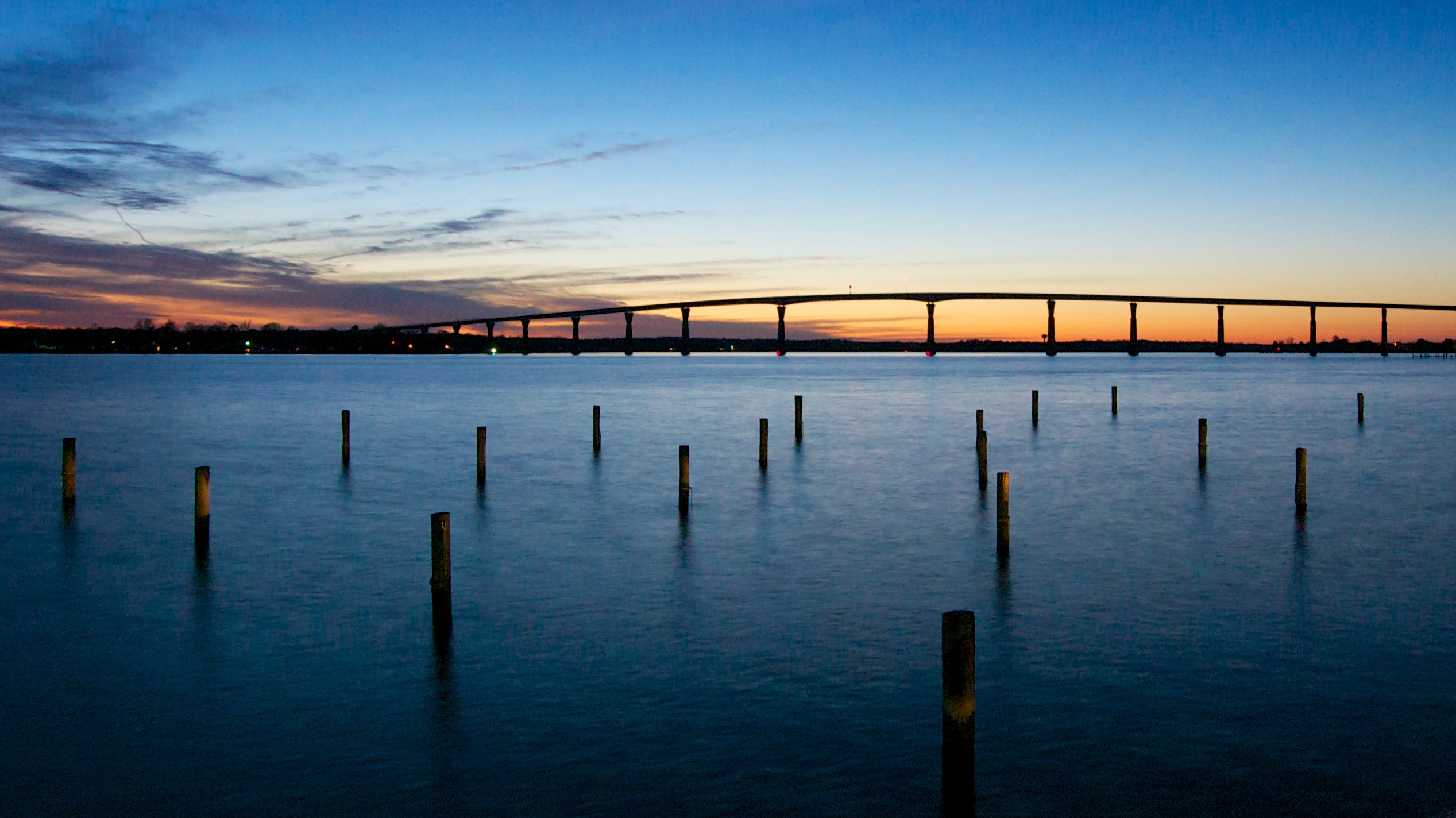
TJ Bridge at Sunset
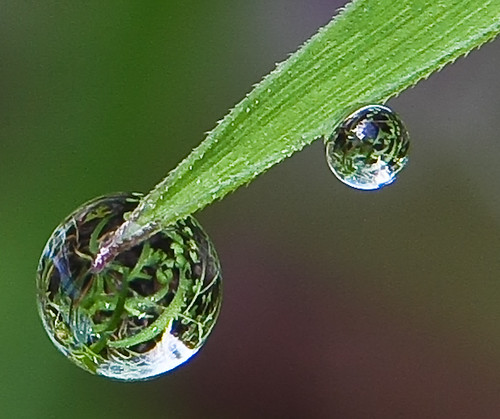
Grass Droplets 3

Raptor Photo Pass

Just a memory

Arkansas Clearwing Moth (Synanthedon arkansasensis), California - Hollywood Quad, St. Mary's County, MD, 2017_0813

Caught In The Act
Solomon's Island, MD

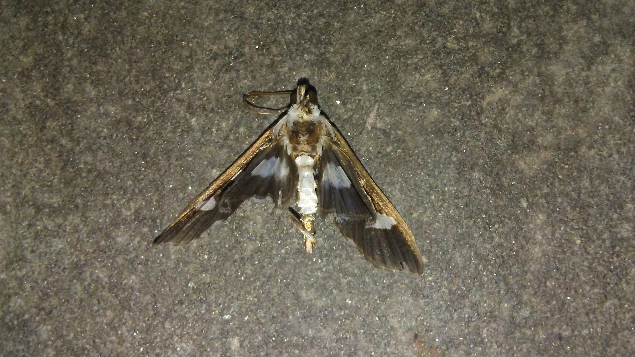
Cloaked Marvel Moth (Chytonix palliatricula), California - Hollywood Quad, St. Mary's County, MD, 2017_0808
To Maryland
First Snow Part II

Stenopoda spinulosa, California - Hollywood Quad, St. Mary's County, MD, 2017_0604
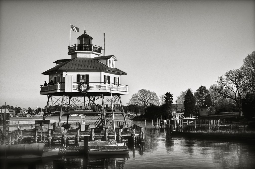
Drum Point Light House

Arkansas Clearwing Moth (Synanthedon arkansasensis), California - Hollywood Quad, St. Mary's County, MD, 2017_0813
Grape Leaffolder Moth (Desmia funeralis), Historic St. Mary's City, St. Mary's City Quad, St. Mary's County, MD, 2017_0708
Morning on Back Creek

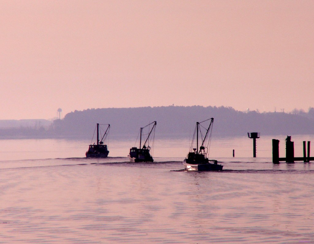
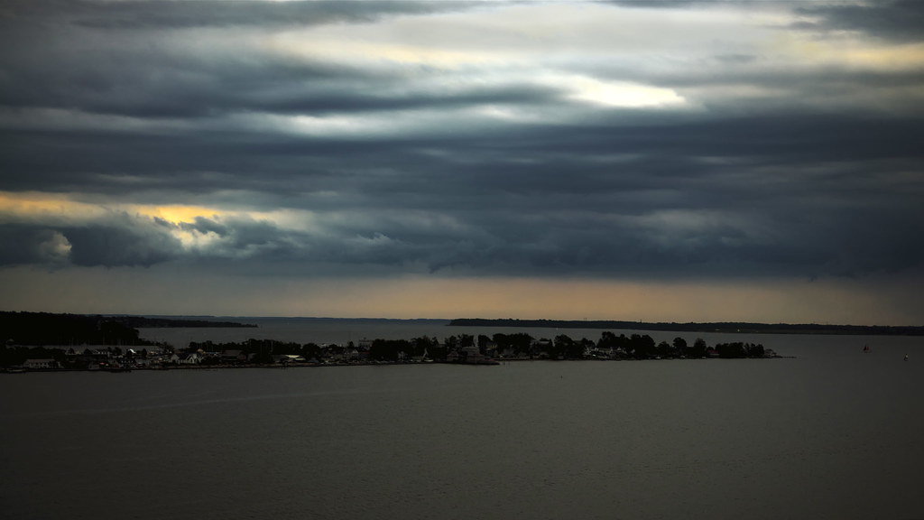
Patuxent River

Protecting the museum
Stripped Bare
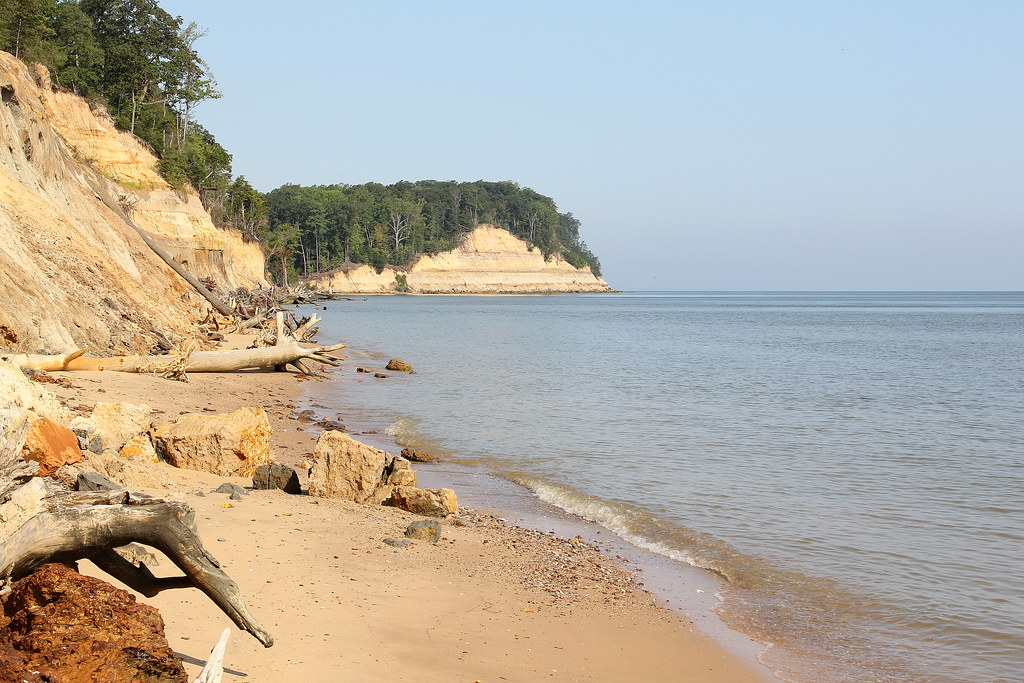
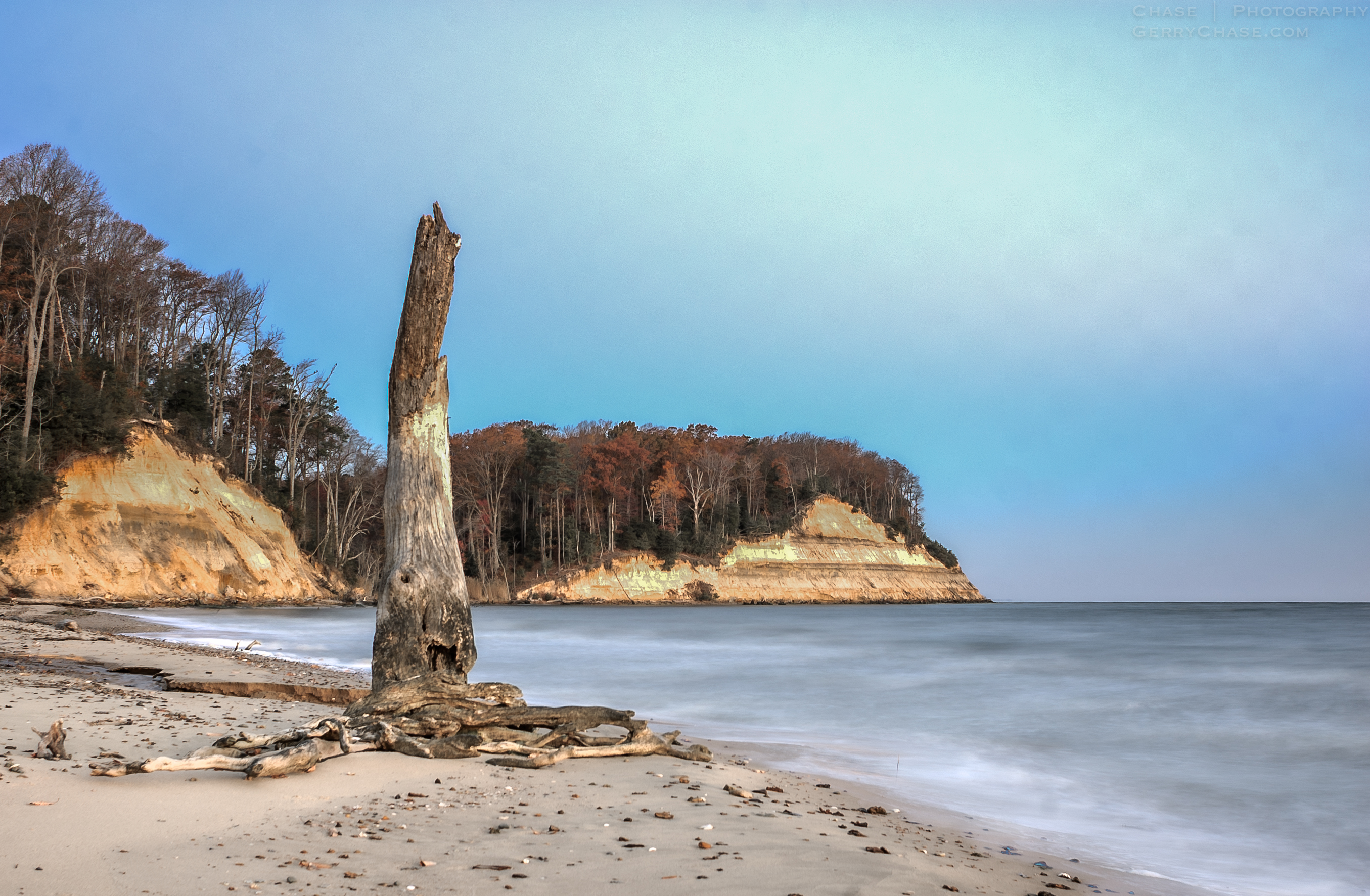
Calvert Cliffs State Park

47/365, "48", Fishing Pier Falling Into Night

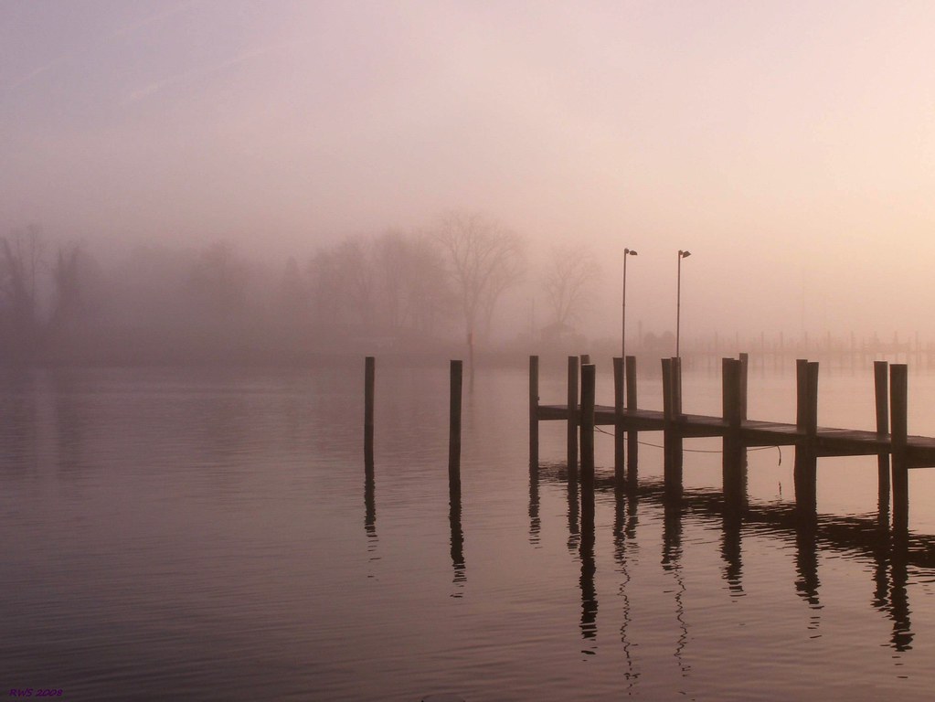
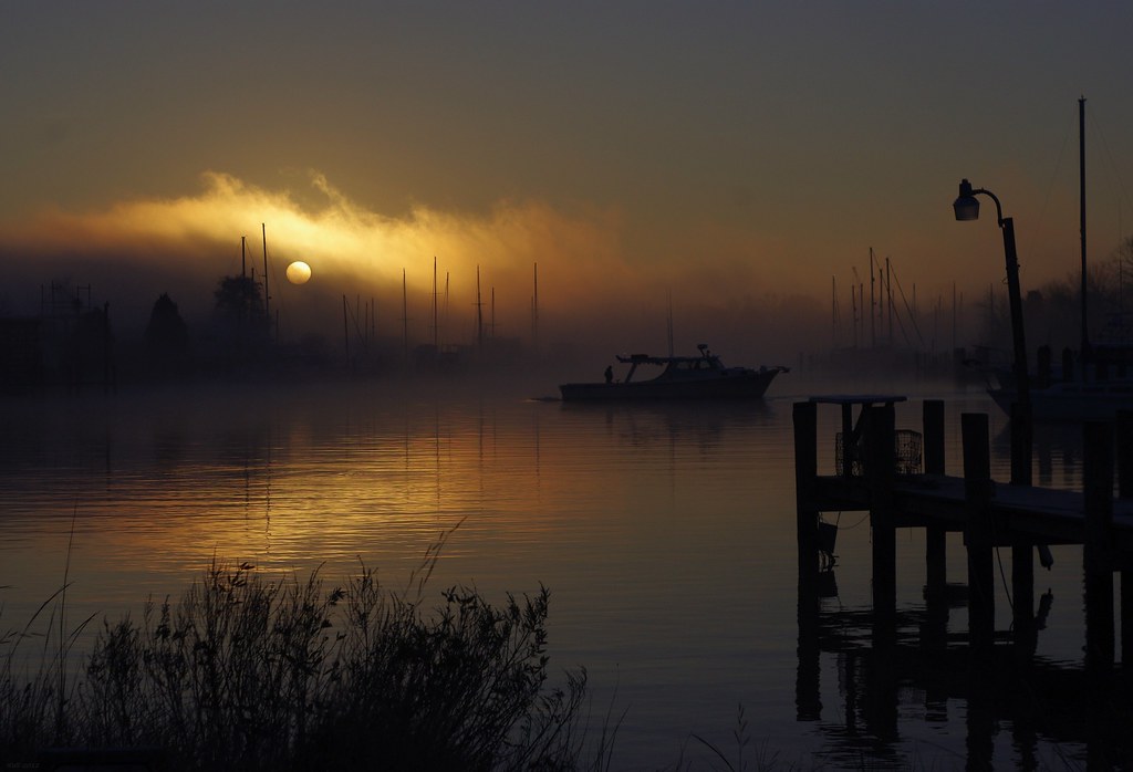
Morning Fog
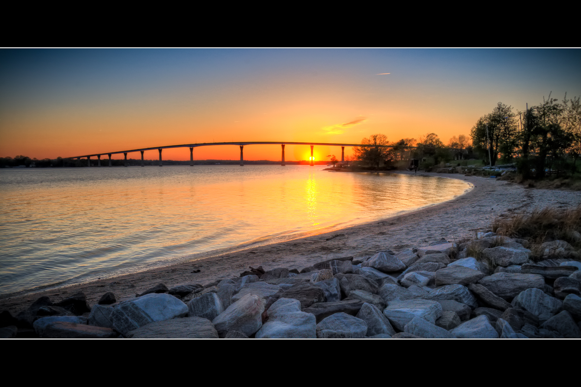
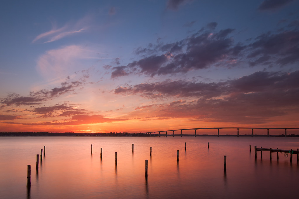
Gov. Thomas Johnson bridge, Patuxant River, MD
Sunrise, Solomons Harbour
Don't stand so close to me
Lady Luck - Sunset in Solomons
The waiting lot.
Cove Point Lighthouse
40/365, "48", Solomon's Island Sunset #???
Solomons Island Bridge

Pierside Solomons MD at Night
Solomons at Sunset
How many days?
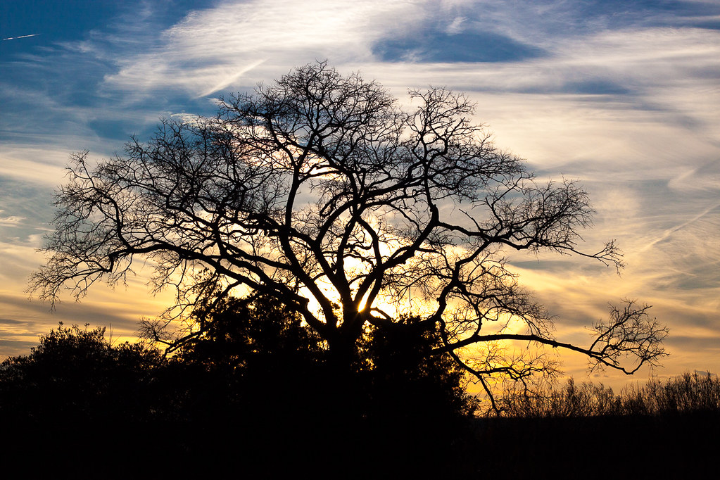
Fog Shrouded Tree
Topographic Map of Cedar Point Rd, Patuxent River, MD, USA
Find elevation by address:

Places near Cedar Point Rd, Patuxent River, MD, USA:
22580 Cedar Point Rd
Musket Mark F
Patuxent River
Cedar Point Road
Delalio Road
8, Bay
Ferrylanding Road
Cedar Cove
21710 Genesta St
21466 Colleen Pl
21522 Lynn Dr
Melissa Moore Ln, Lexington Park, MD, USA
22019 Spring Valley Dr
Lexington Park
46845 Morning Dew Ln
48385 Sunburst Dr
21502 Great Mills Rd
Lexington Village Way, Lexington Park, MD, USA
46737 Willow Forest Ln
20726 Colby Dr
Recent Searches:
- Elevation of Corso Fratelli Cairoli, 35, Macerata MC, Italy
- Elevation of Tallevast Rd, Sarasota, FL, USA
- Elevation of 4th St E, Sonoma, CA, USA
- Elevation of Black Hollow Rd, Pennsdale, PA, USA
- Elevation of Oakland Ave, Williamsport, PA, USA
- Elevation of Pedrógão Grande, Portugal
- Elevation of Klee Dr, Martinsburg, WV, USA
- Elevation of Via Roma, Pieranica CR, Italy
- Elevation of Tavkvetili Mountain, Georgia
- Elevation of Hartfords Bluff Cir, Mt Pleasant, SC, USA