Elevation of Cedar Creek Rd, Saluda, NC, USA
Location: United States > North Carolina > Polk County > Saluda > Saluda >
Longitude: -82.330054
Latitude: 35.199385
Elevation: 662m / 2172feet
Barometric Pressure: 94KPa
Elevation Map:
Satellite Map:
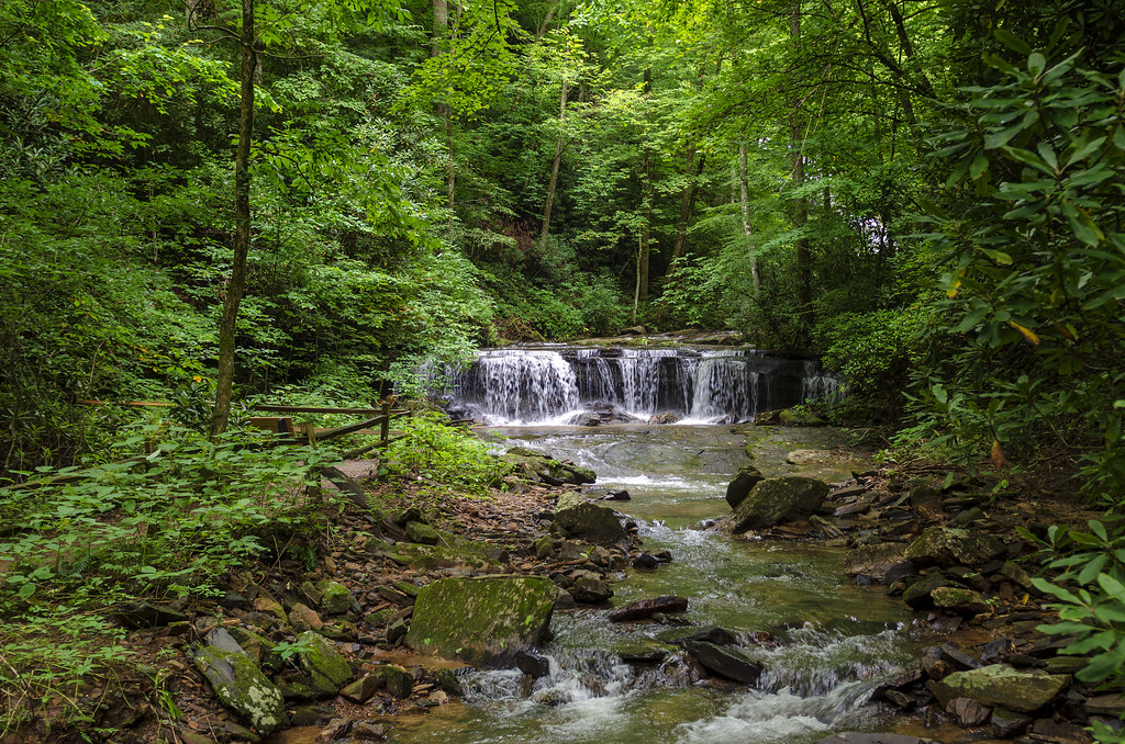
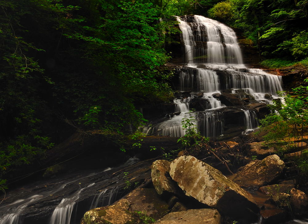
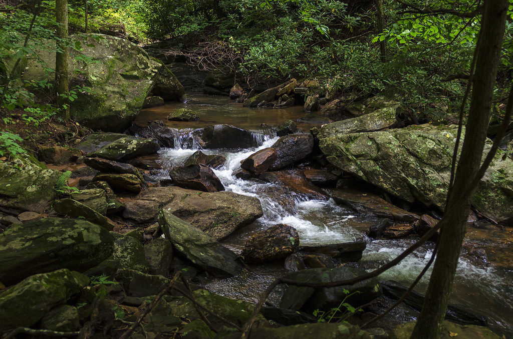
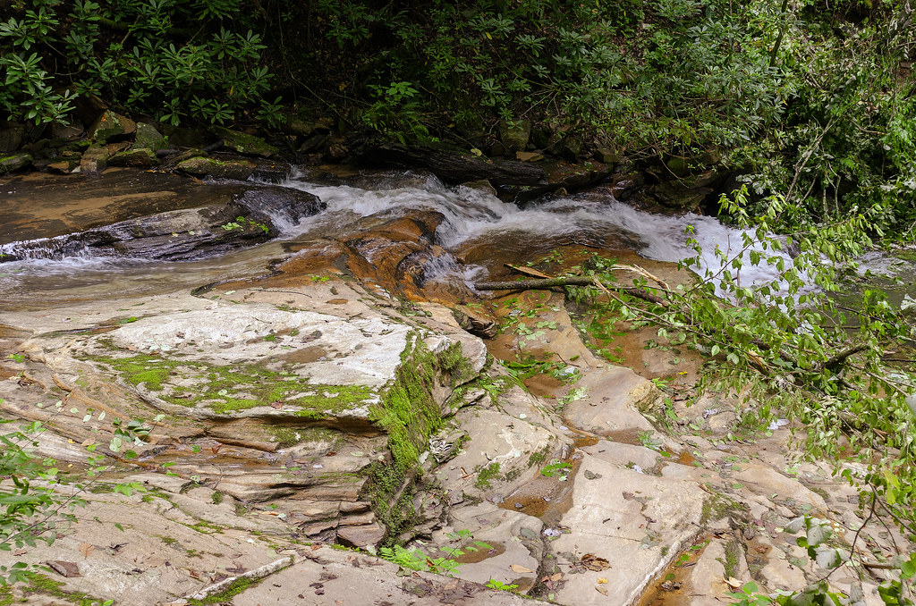
Related Photos:

Pearson Lower New Trail - Read Description
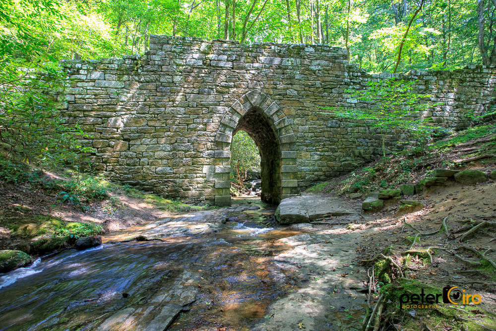
Poinsett Bridge near Highland, SC
Main Inn View

Orange Peppers

sunset sundial
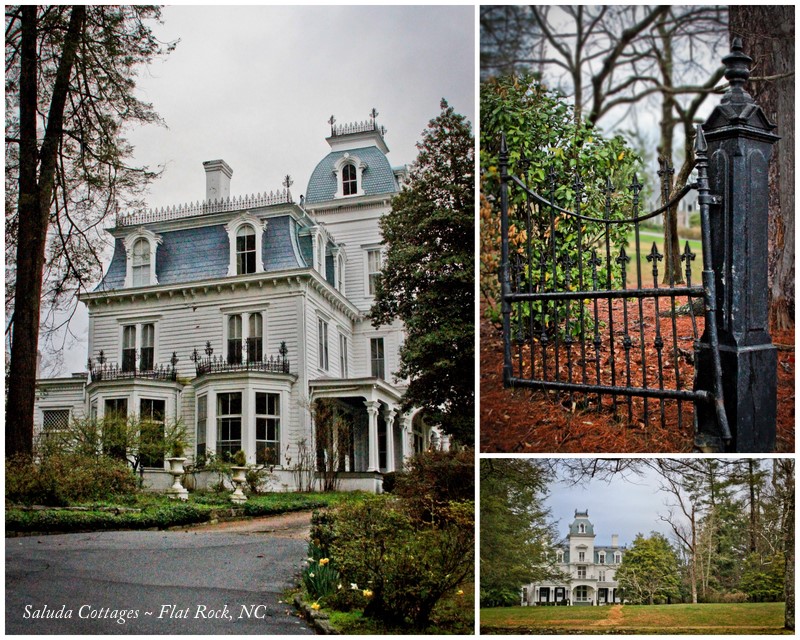
90/365 ~ Saluda Cottages, Flat Rock, NC

The Hayloft Cottage
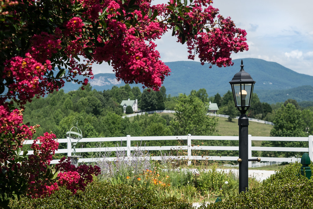
crepe myrtles with a view of cottage
RHI Snow Day

Tree with Mushrooms in Landrum, SC
The Grainary Cottage
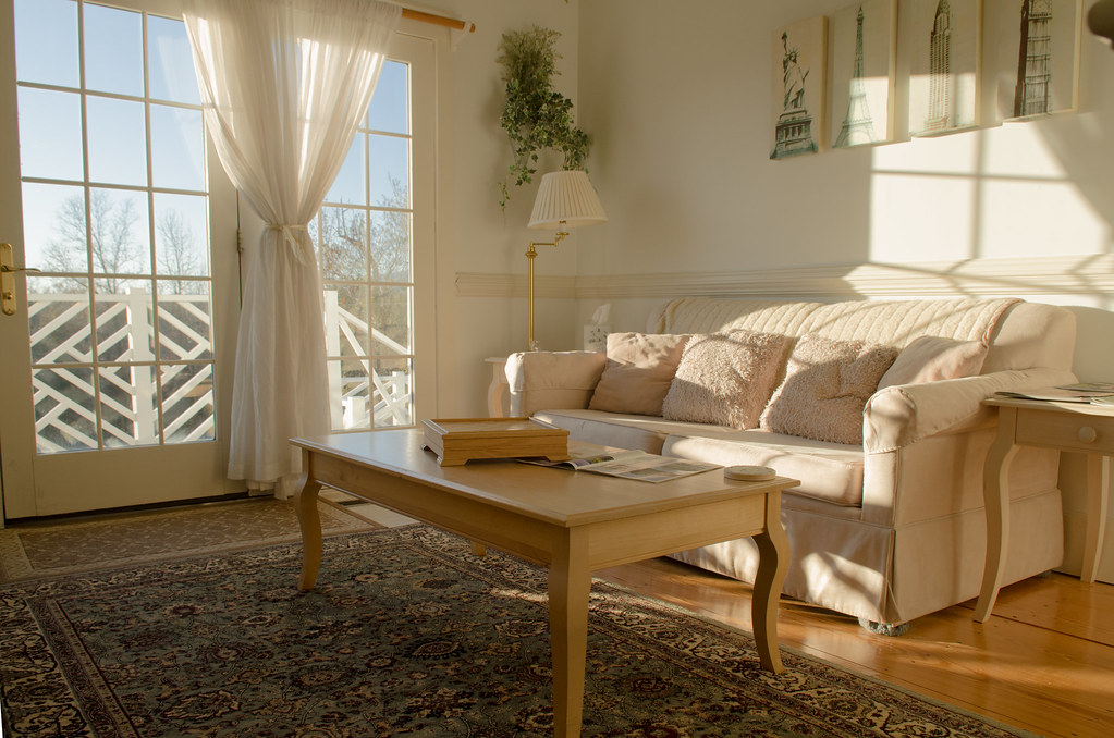
Springhouse Cottage
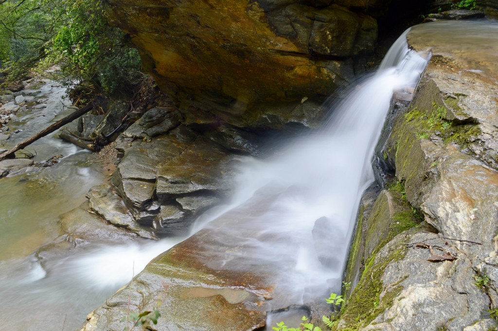
Bradley Falls Side View
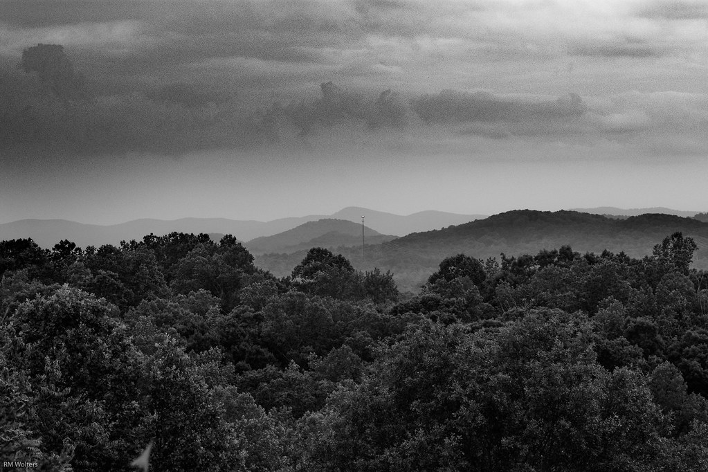
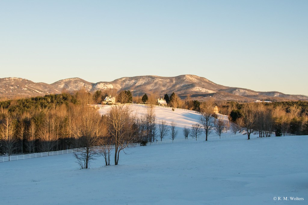
Black and White Mountains
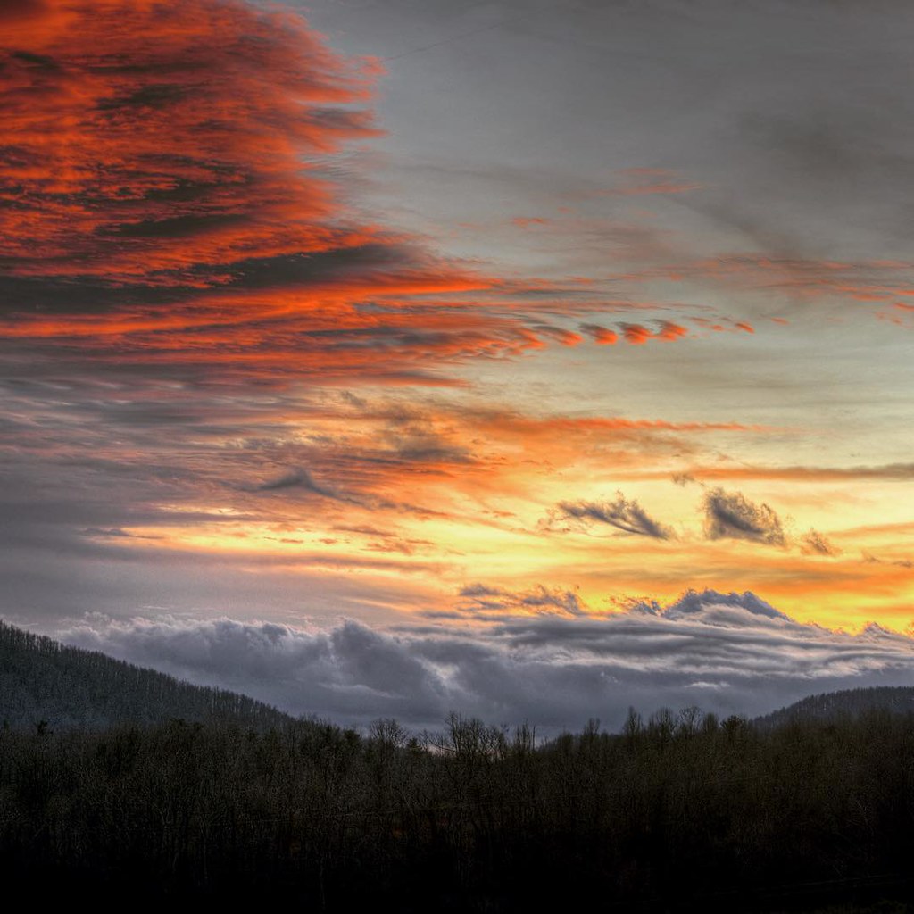
#saluda #sunset #happynewyears #lastsunset #2015 #northcarolina #nc #dramatic #mountain #view
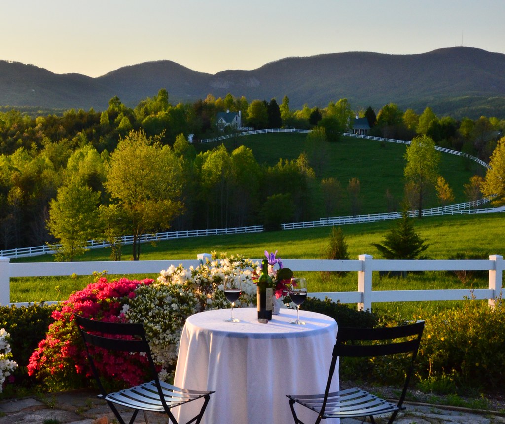
Wine Glass Table Moutains
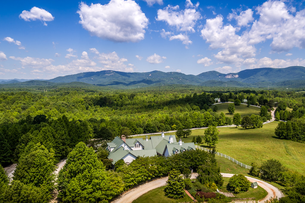
Aerial View of The Inn
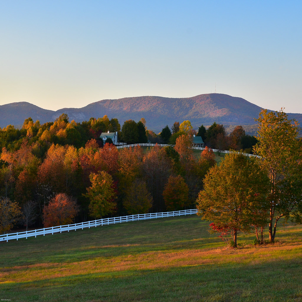
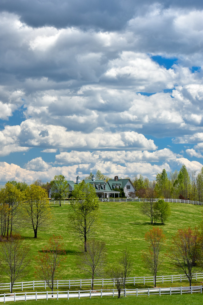
Fall Pasture

september evening hayloft with mountain
Cliffs at Glassy near clubhouse

Blue Ridge Mountain View from our vacation cabin porch (HDR)
Poinsett Cascade

Poinsett Flow
Gentle Falls on the North Pacolet River
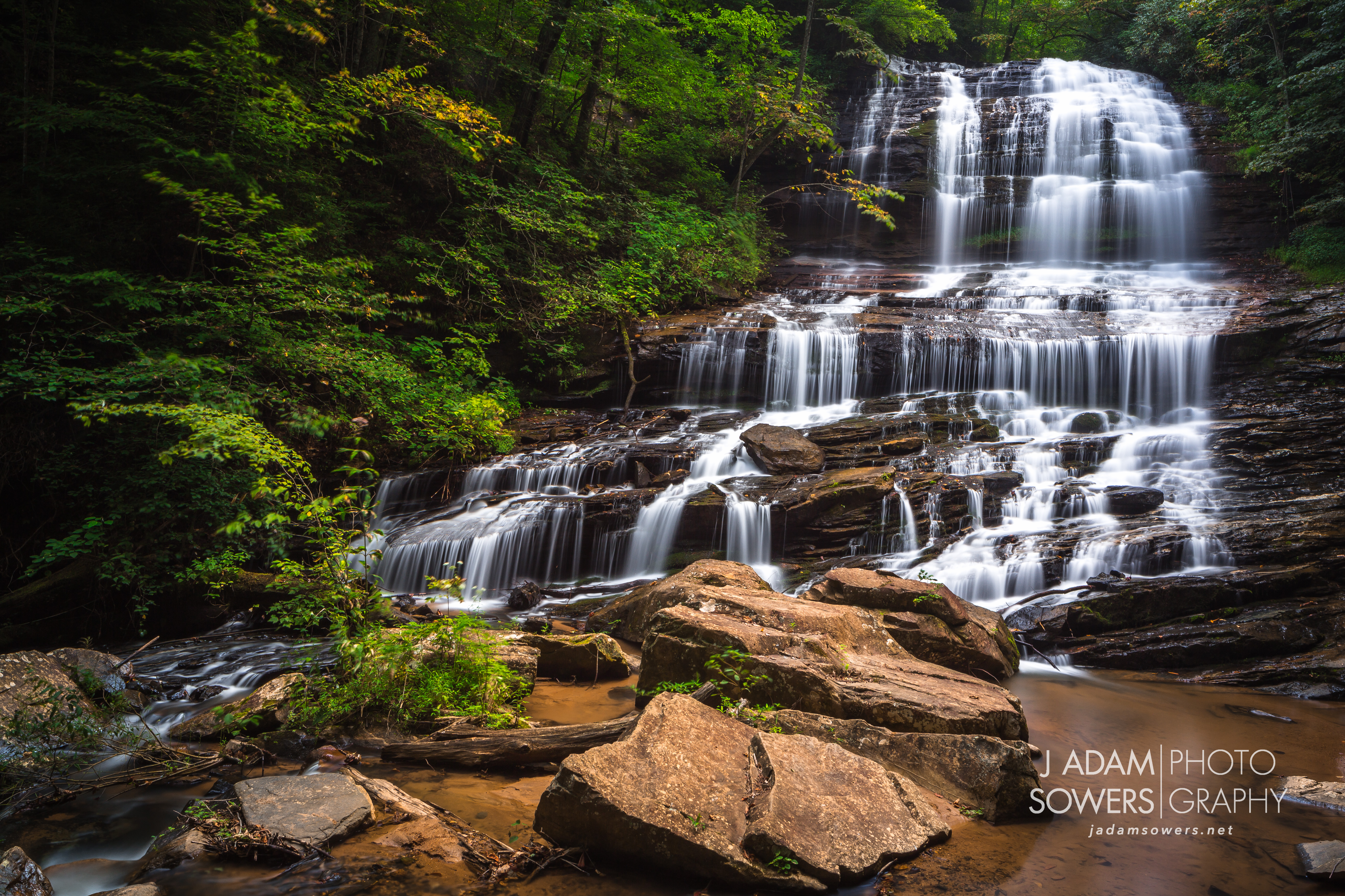
Pearson's Falls
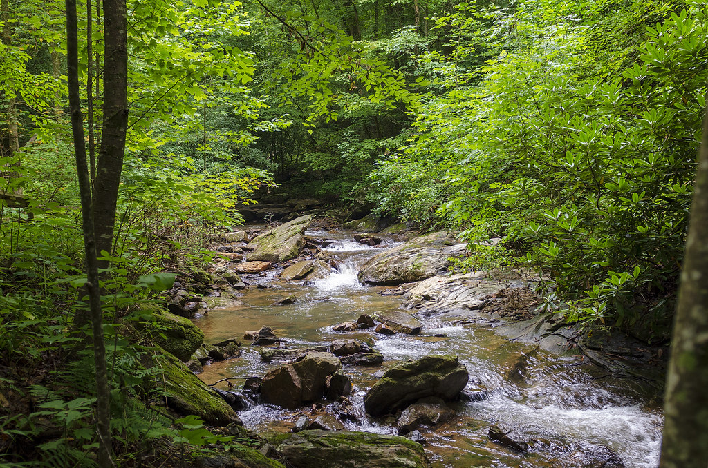
Gentle North Pacolet
North Pacolet River II

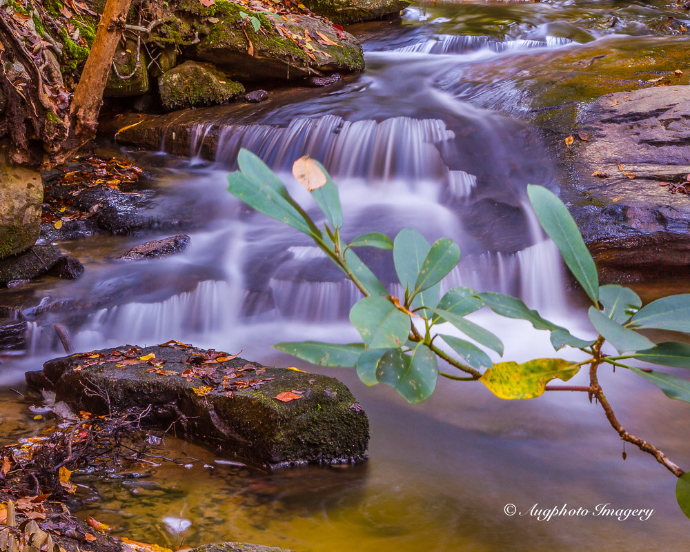
Water Dancing on the Rocks
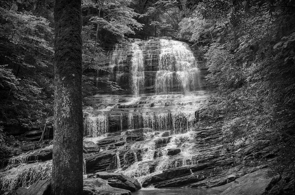
Pearson Falls - BW
Peaceful Trail

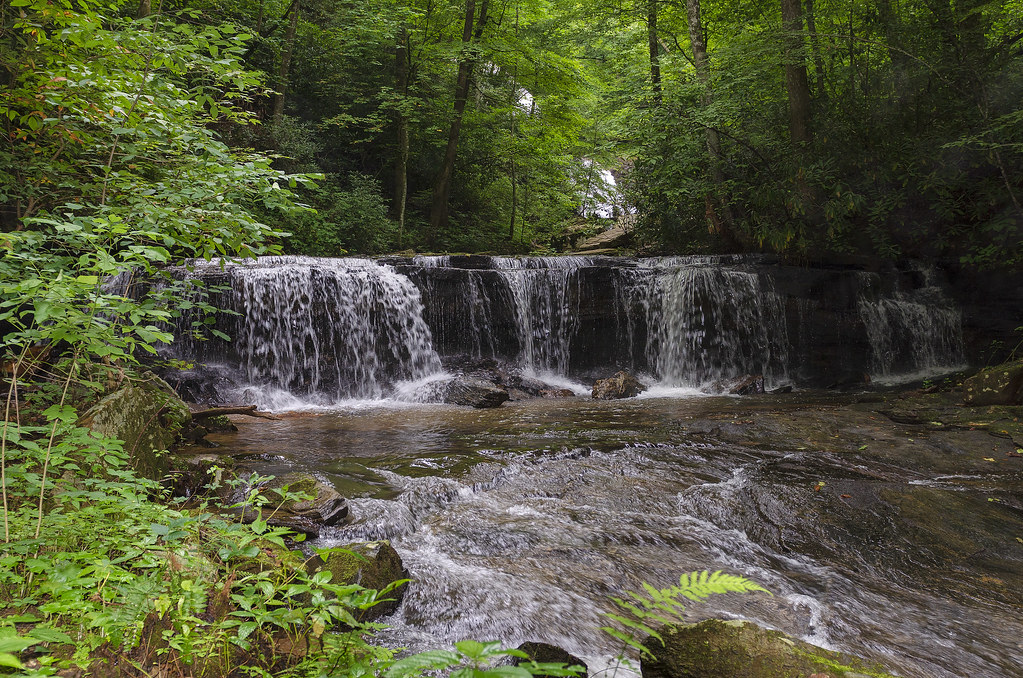
Small Waterfall at Pearson's Falls

PEARSON'S FALLS BLUE RIDGE MOUNTAINS ~ N.C.

The Twists and the Turns

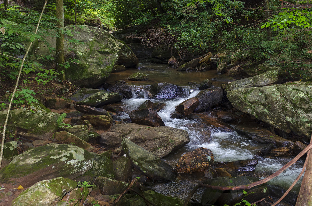
Bradley Falls creek

North Saluda Reservoir

Pearsons Falls
Pearson's Falls, N.C.
North Pacolet River
Moss on River Rock

Pearson Falls II
Topographic Map of Cedar Creek Rd, Saluda, NC, USA
Find elevation by address:

Places near Cedar Creek Rd, Saluda, NC, USA:
1533 Fork Creek Rd
West Fork Creek Road
Pearsons Falls
60 Ellis Pearson Ln
1565 Pearson Falls Rd
460 Orchard Lake Rd
Orchard Lake Campground
121 Morrison Ln
Orchard Lake Road
Susan Craven Law Office
3910 Us-176
97 Orchard Lake Rd
1875 Thompson Rd
3687 Us-176
3517 Us-176
123 Morgan Creek Ct
1371 Mine Mountain Rd
6786 Us-176
721 Bear Creek Ln
3353 Us-176
Recent Searches:
- Elevation of Corso Fratelli Cairoli, 35, Macerata MC, Italy
- Elevation of Tallevast Rd, Sarasota, FL, USA
- Elevation of 4th St E, Sonoma, CA, USA
- Elevation of Black Hollow Rd, Pennsdale, PA, USA
- Elevation of Oakland Ave, Williamsport, PA, USA
- Elevation of Pedrógão Grande, Portugal
- Elevation of Klee Dr, Martinsburg, WV, USA
- Elevation of Via Roma, Pieranica CR, Italy
- Elevation of Tavkvetili Mountain, Georgia
- Elevation of Hartfords Bluff Cir, Mt Pleasant, SC, USA