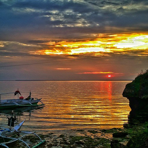
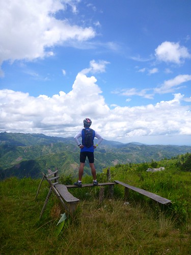
Elevation map of Cebu, Philippines
Location: Philippines > Central Visayas >
Longitude: 123.885774
Latitude: 10.607936
Elevation: 302m / 991feet
Barometric Pressure: 98KPa
Related Photos:
Topographic Map of Cebu, Philippines
Find elevation by address:

Places in Cebu, Philippines:
Lapu-lapu City
Cebu City
Mandaue City
Catmon
Talisay City
Danao City
Bantayan
Consolacion
Argao
San Fernando
Cordova
Compostela
Barili
Minglanilla
Balamban
Toledo City
Carcar City
Daanbantayan
Tuburan
Panas
Lunop
Lower Becerril
Nangka
Santa Fe
Jagobiao
Japitan
Yati
Alcoy
Bogo City
Estaca
San Remigio
Sogod
Boljoon
Liloan
Alegría
Places near Cebu, Philippines:
Danasan Eco Adventure Park
Danao City
Tuburan
Barangay Viii
Balamban
Looc
Adlaon
Corazon
Catmon National High School
Catmondaan Elementary School
Catmon
Compostela
Panas
Sogod
Tabla
Kool Adventure Camp Inc.
Consolacion
Bagakay
Liloan Golf & Leisure Estates
Liloan Golf Course
Recent Searches:
- Elevation of Corso Fratelli Cairoli, 35, Macerata MC, Italy
- Elevation of Tallevast Rd, Sarasota, FL, USA
- Elevation of 4th St E, Sonoma, CA, USA
- Elevation of Black Hollow Rd, Pennsdale, PA, USA
- Elevation of Oakland Ave, Williamsport, PA, USA
- Elevation of Pedrógão Grande, Portugal
- Elevation of Klee Dr, Martinsburg, WV, USA
- Elevation of Via Roma, Pieranica CR, Italy
- Elevation of Tavkvetili Mountain, Georgia
- Elevation of Hartfords Bluff Cir, Mt Pleasant, SC, USA


