Elevation of Caylor Rd, Punxsutawney, PA, USA
Location: United States > Pennsylvania > Jefferson County > Ringgold Township >
Longitude: -79.146693
Latitude: 40.9889728
Elevation: 442m / 1450feet
Barometric Pressure: 96KPa
Elevation Map:
Satellite Map:
Related Photos:
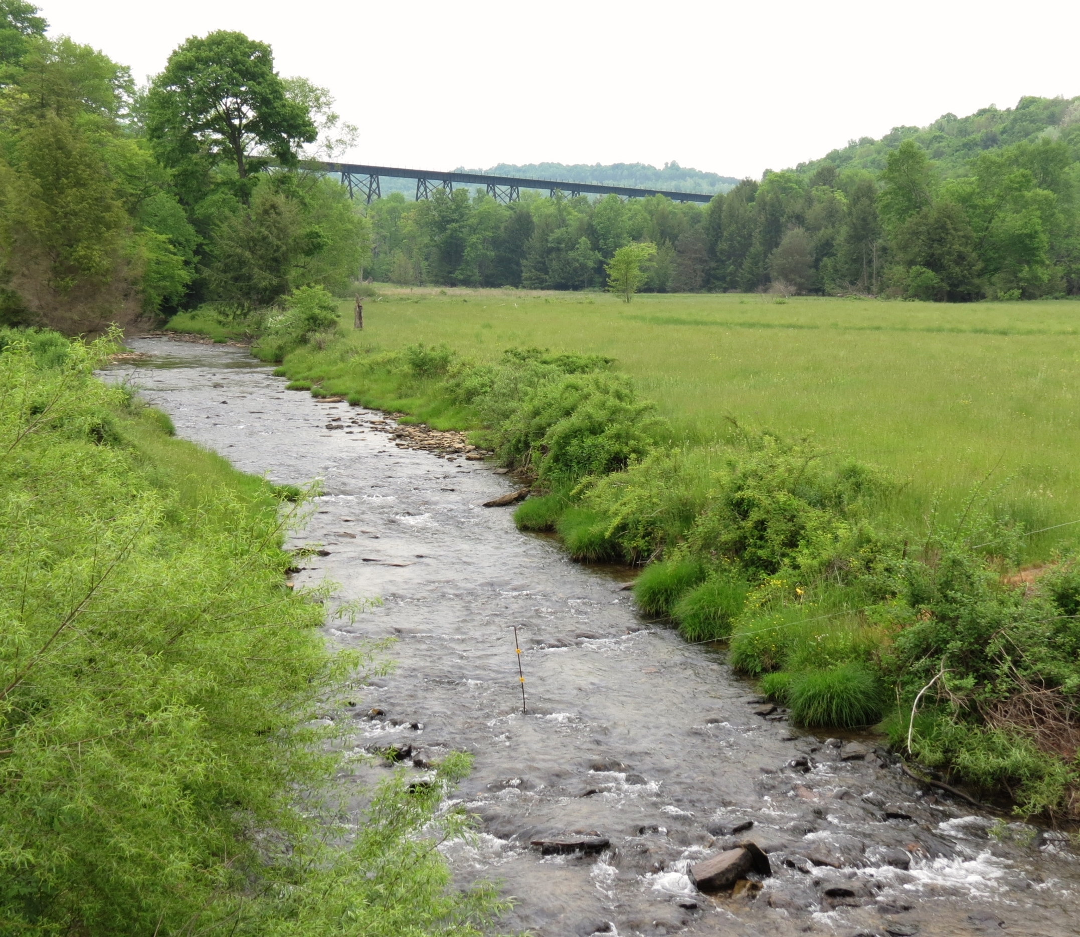
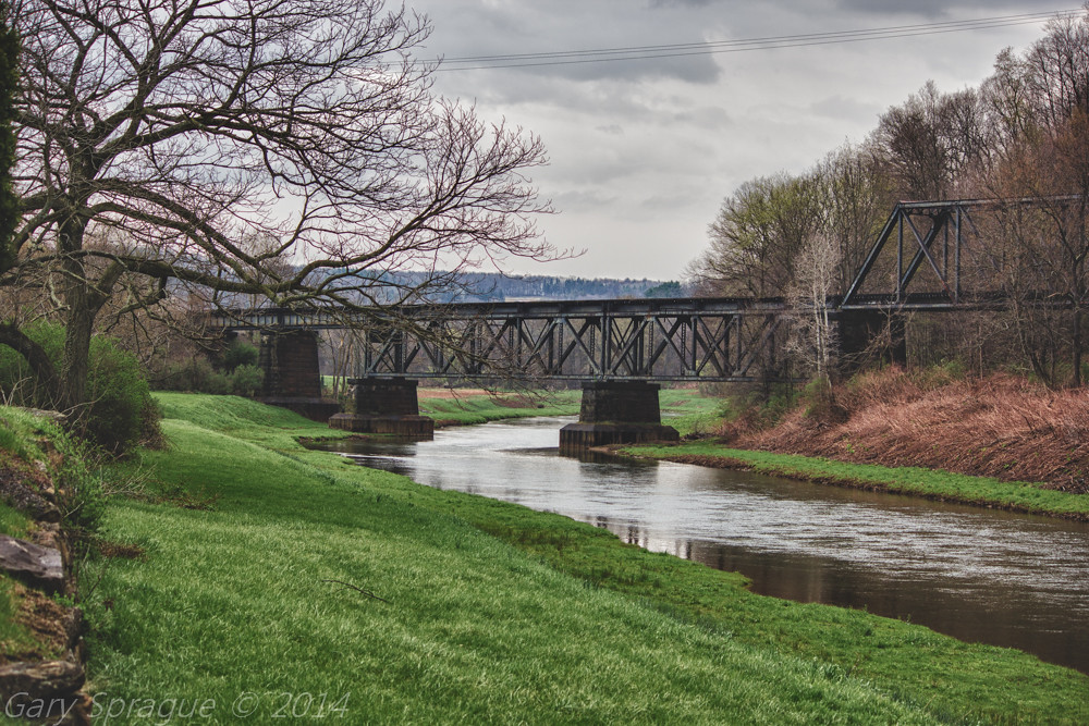
Burkett Hollow train trestle -- Jefferson County, PA

"Look at the View"
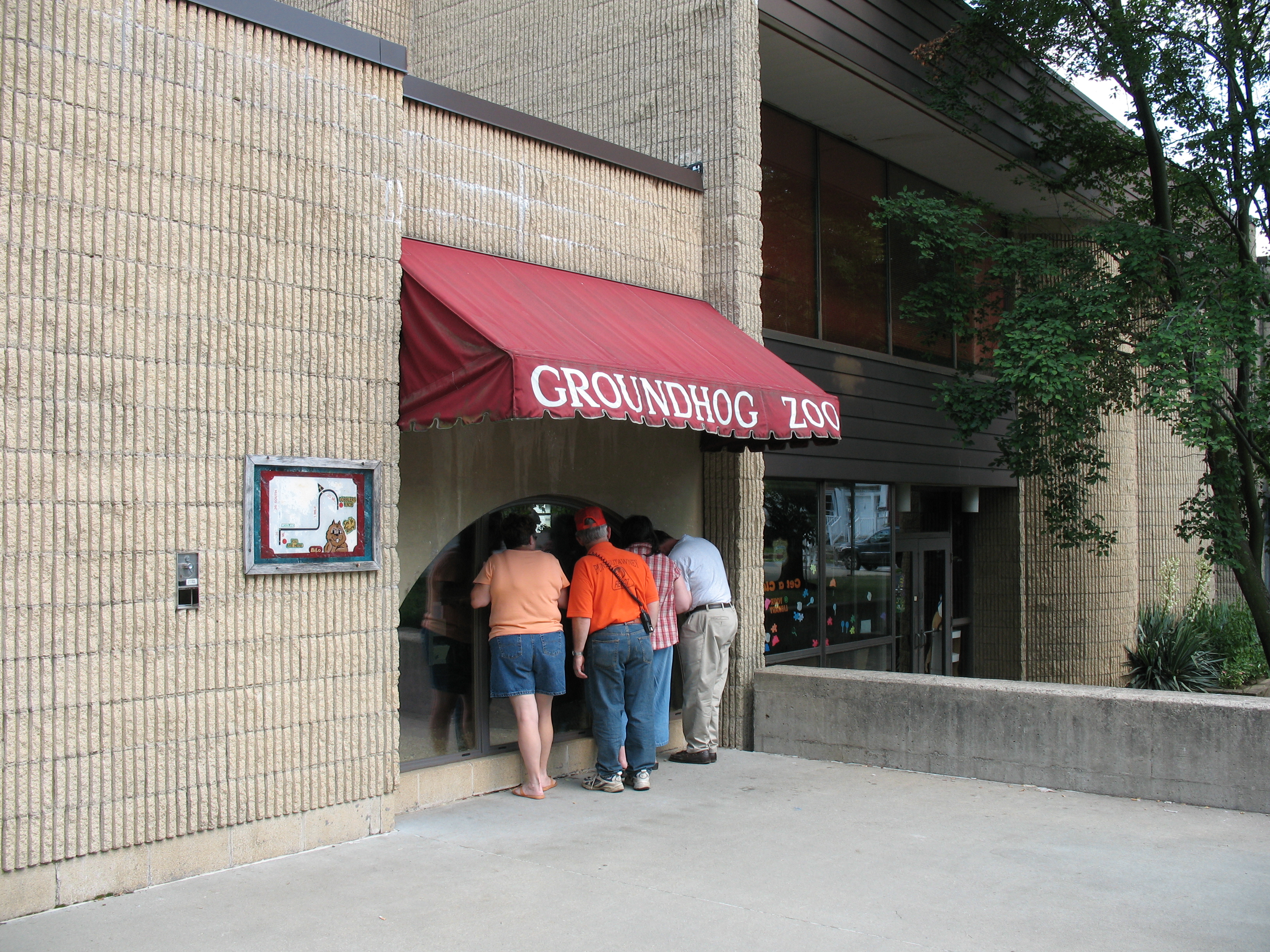
Groundhog Zoo

Look at the View
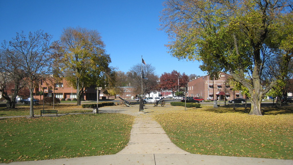
The View of Barclay Square from the Bandstand
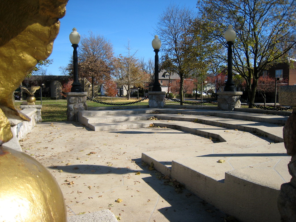
The Bandstand in Barclay Square
Mahoning Creek Lake / Abandoned Railroad Bridge , Punxsutawney
Imagine there is no heaven

Camera Roll-142

Camera Roll-134
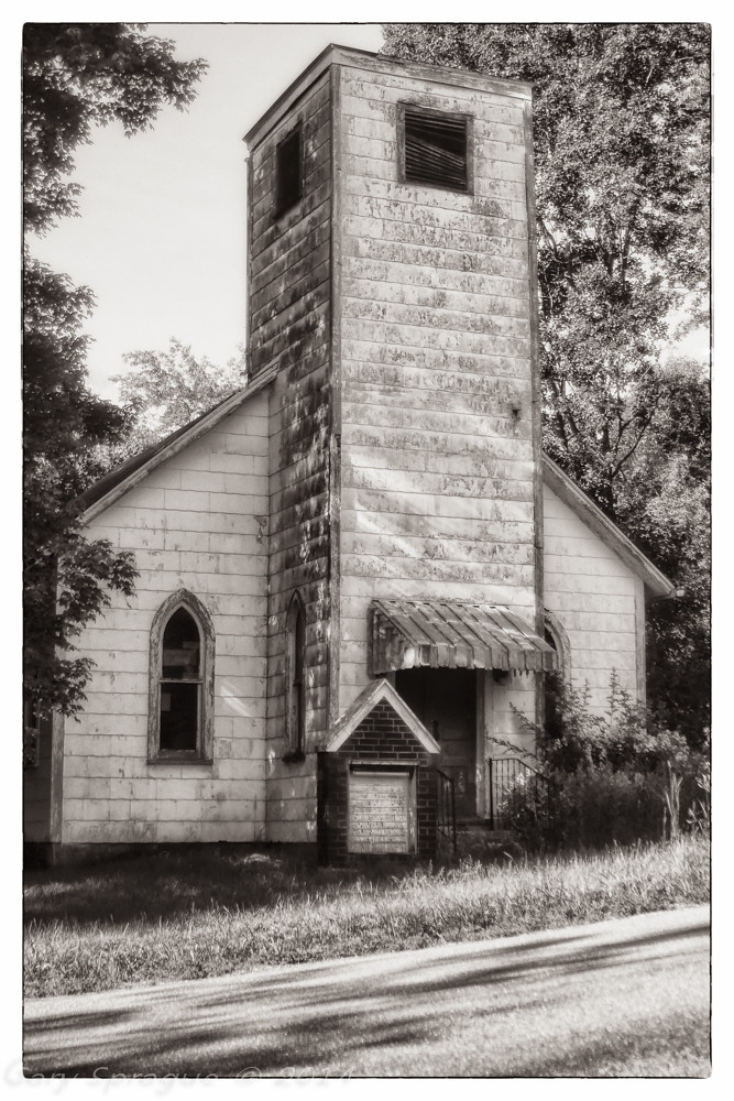
New Bethlehem, Pennsylvania

Camera Roll-131

Camera Roll-140

Camera Roll-135

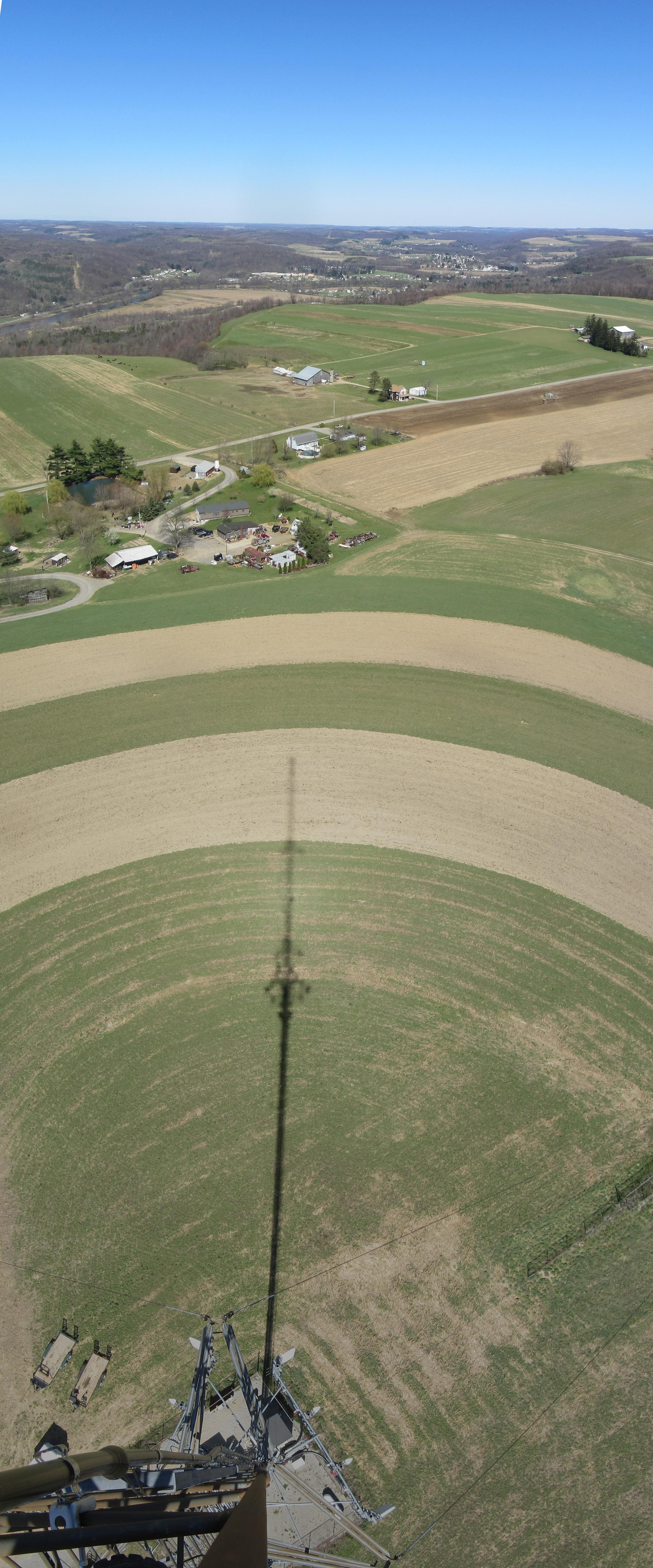
panoramic of the back farm
Panoramic of Back Farm

Camera Roll-137

Camera Roll-129
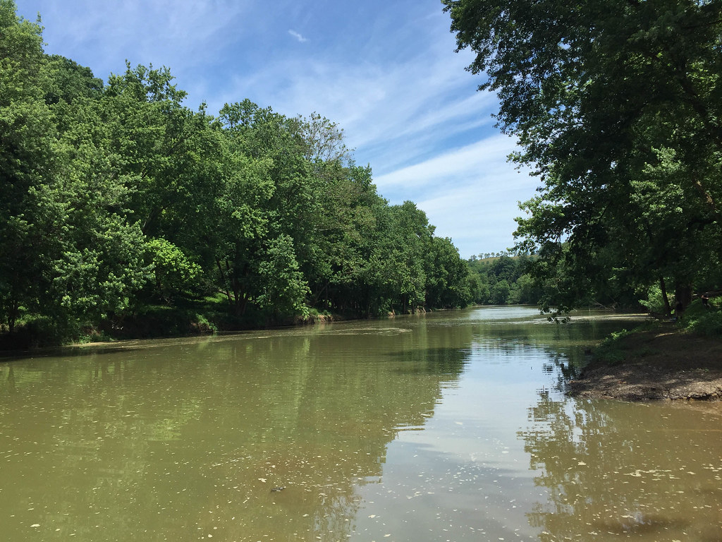
Mahoning Creek

Camera Roll-146

Camera Roll-139

Camera Roll-130

Camera Roll-149

Camera Roll-138

Camera Roll-136

Camera Roll-126
Topographic Map of Caylor Rd, Punxsutawney, PA, USA
Find elevation by address:

Places near Caylor Rd, Punxsutawney, PA, USA:
550 Caylor Rd
550 Caylor Rd
550 Caylor Rd
Ringgold Township
Sprankle Mills Rd, Sprankle Mills, PA, USA
Sprankle Mills
Ringgold St, Worthville, PA, USA
Pansy Ringgold Rd, Summerville, PA, USA
Beaver Township
Salem Rd, Mayport, PA, USA
Redbank Township
Mayport
Summerville
601 Keck Ave
416 Washington St
416 Washington St
New Bethlehem
Mahoning Township
62 PA-66, New Bethlehem, PA, USA
Limestone Township
Recent Searches:
- Elevation of Corso Fratelli Cairoli, 35, Macerata MC, Italy
- Elevation of Tallevast Rd, Sarasota, FL, USA
- Elevation of 4th St E, Sonoma, CA, USA
- Elevation of Black Hollow Rd, Pennsdale, PA, USA
- Elevation of Oakland Ave, Williamsport, PA, USA
- Elevation of Pedrógão Grande, Portugal
- Elevation of Klee Dr, Martinsburg, WV, USA
- Elevation of Via Roma, Pieranica CR, Italy
- Elevation of Tavkvetili Mountain, Georgia
- Elevation of Hartfords Bluff Cir, Mt Pleasant, SC, USA