Elevation of Cattai NSW, Australia
Location: Australia > New South Wales >
Longitude: 150.907457
Latitude: -33.559928
Elevation: 35m / 115feet
Barometric Pressure: 101KPa
Elevation Map:
Satellite Map:
Related Photos:
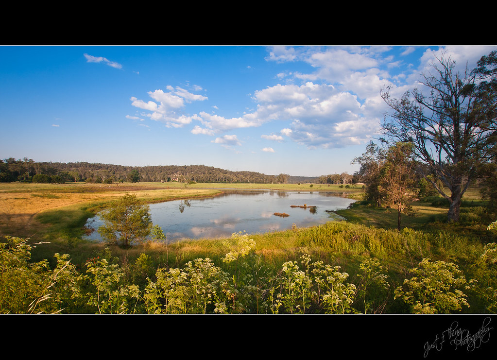
Cattai Lagoon
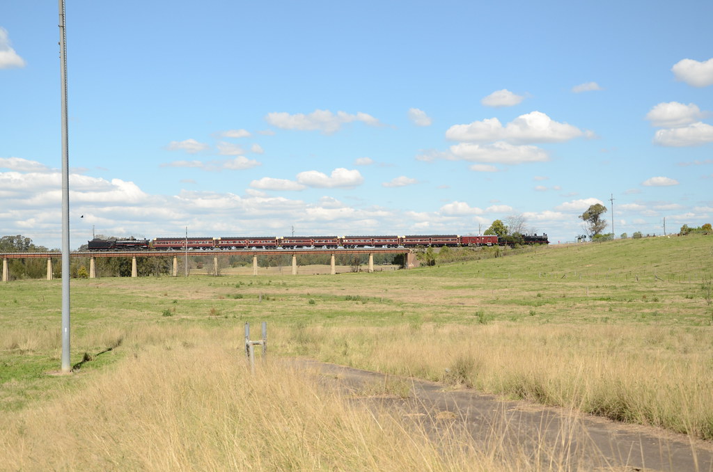
Side on view
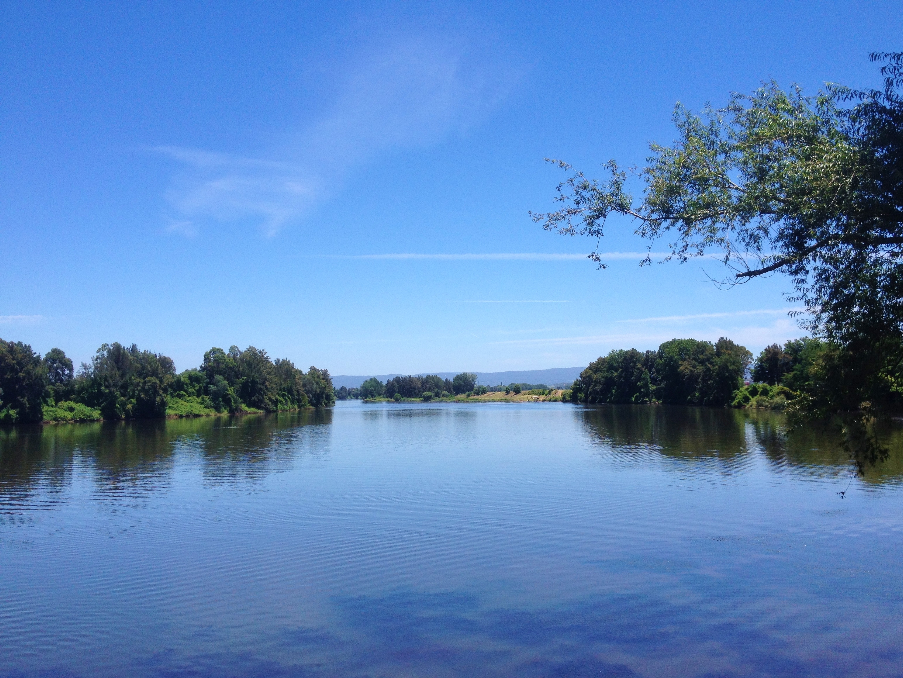
Hawkesbury River
Topographic Map of Cattai NSW, Australia
Find elevation by address:

Places in Cattai NSW, Australia:
Places near Cattai NSW, Australia:
1 Mitchell Park Rd
2 Mitchell Park Rd
Mitchell Park Road
1 Wianamatta Cct
Threlkeld Drive
Caddie Road
204 Mitchell Park Rd
384 Cattai Rd
Wianamatta Circuit
Wianamatta Circuit
205 Mitchell Park Rd
27 Wianamatta Cct
177 Wisemans Ferry Rd
28 Manns Rd
1 Manns Rd
Riverside Oaks Golf Resort
72 Ebenezer Wharf Rd
282 Halcrows Rd
Cleary Drive
Cleary Drive
Recent Searches:
- Elevation of Corso Fratelli Cairoli, 35, Macerata MC, Italy
- Elevation of Tallevast Rd, Sarasota, FL, USA
- Elevation of 4th St E, Sonoma, CA, USA
- Elevation of Black Hollow Rd, Pennsdale, PA, USA
- Elevation of Oakland Ave, Williamsport, PA, USA
- Elevation of Pedrógão Grande, Portugal
- Elevation of Klee Dr, Martinsburg, WV, USA
- Elevation of Via Roma, Pieranica CR, Italy
- Elevation of Tavkvetili Mountain, Georgia
- Elevation of Hartfords Bluff Cir, Mt Pleasant, SC, USA