Elevation map of Cataractes, Democratic Republic of the Congo
Location: Democratic Republic Of The Congo > Kongo Central >
Longitude: 14.4723301
Latitude: -5.3863004
Elevation: 729m / 2392feet
Barometric Pressure: 93KPa
Elevation Map:
Satellite Map:
Related Photos:

20150505-6467

All the colors & cassava on the ground in #Goma #DRC with @theiwmf #iwmffellows ???? ????: @miriamaberger
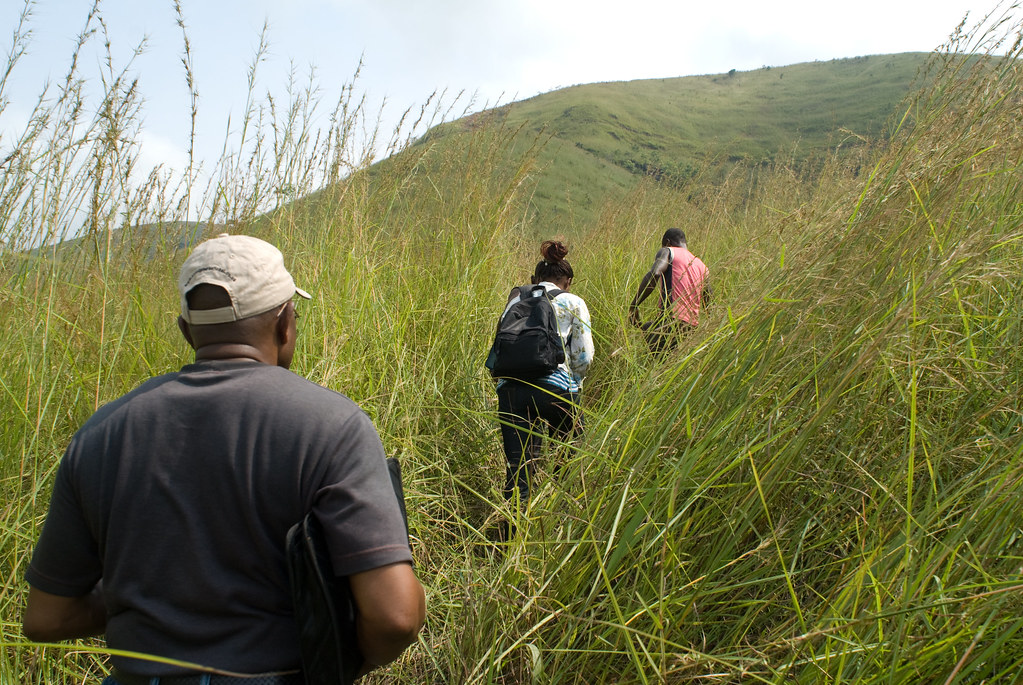
Above Kitobola, D R Congo
Topographic Map of Cataractes, Democratic Republic of the Congo
Find elevation by address:

Places in Cataractes, Democratic Republic of the Congo:
Places near Cataractes, Democratic Republic of the Congo:
Lukunga
Kinshasa
Ascitech - Kinshasa
Université De Kinshasa, Batiment Administratif
Funa
Ngaliema
Kinsuka
Mont Amba
Lemba
Avenue De L`universite
Ngaba
Matété
Ulk, Université Libre De Kinshasa
Gombe
Marien Ngouabi University
Limete
Petro -congo
Brazzaville
Masina
Gare Centrale
Recent Searches:
- Elevation of Corso Fratelli Cairoli, 35, Macerata MC, Italy
- Elevation of Tallevast Rd, Sarasota, FL, USA
- Elevation of 4th St E, Sonoma, CA, USA
- Elevation of Black Hollow Rd, Pennsdale, PA, USA
- Elevation of Oakland Ave, Williamsport, PA, USA
- Elevation of Pedrógão Grande, Portugal
- Elevation of Klee Dr, Martinsburg, WV, USA
- Elevation of Via Roma, Pieranica CR, Italy
- Elevation of Tavkvetili Mountain, Georgia
- Elevation of Hartfords Bluff Cir, Mt Pleasant, SC, USA