Elevation of Cat Island, The Bahamas
Location: The Bahamas >
Longitude: -75.364536
Latitude: 24.213309
Elevation: 29m / 95feet
Barometric Pressure: 101KPa
Elevation Map:
Satellite Map:
Related Photos:

Ocean view from the Hermitage

View from the Hermitage
New Bight

The Hermitage

Stations of the Cross at the Hermitage

The Hermitage

Lunch at Fernandez Bay Village

Fernandez Bay Village

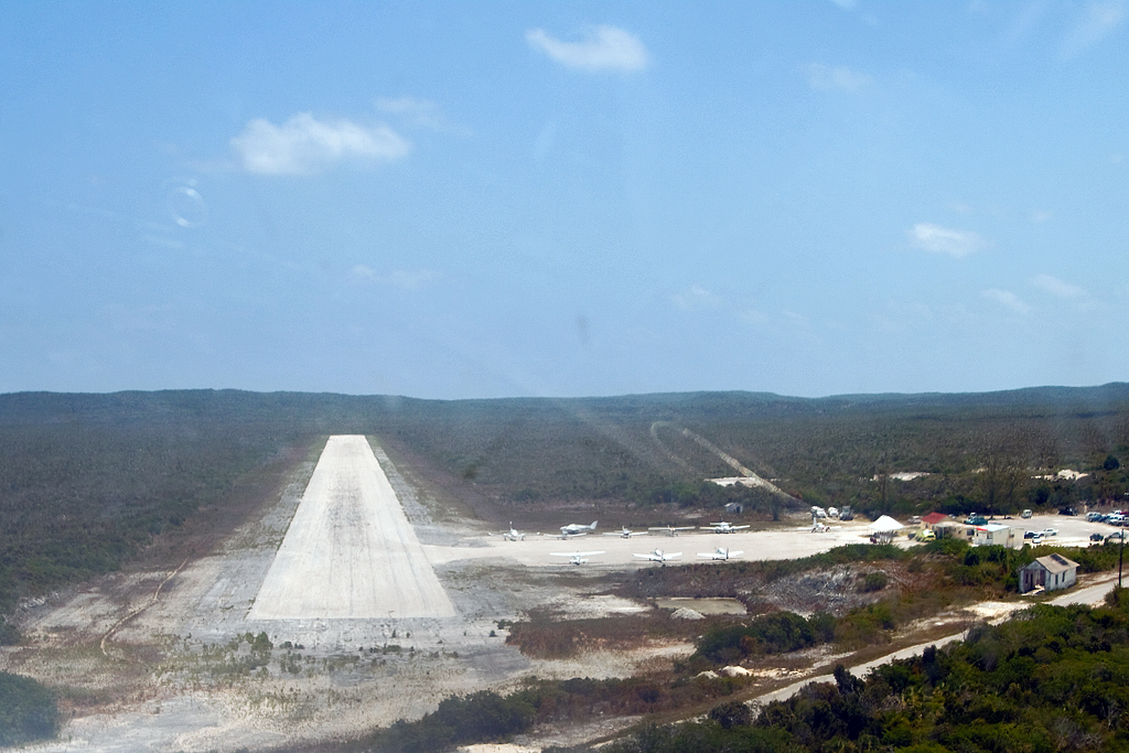
New Bight Int'l

Chapel at the Hermitage

Loyalist digs #catisland #bahamas

My friends ask me why I do not have any #cats in my instagram? True instagram user should have photos with food, cats and elevator)) Here is my answer. #frisbee #frisbijs #фризби #фрисби #catsofinstagram #aerocker #blonde #selfie Photo by @p1rok

Mount Alvernia_7568

Trichostigma octandrum (Hoopvine)

Trichostigma octandrum (Hoopvine)

Trichostigma octandrum (Hoopvine)
Topographic Map of Cat Island, The Bahamas
Find elevation by address:

Recent Searches:
- Elevation of Corso Fratelli Cairoli, 35, Macerata MC, Italy
- Elevation of Tallevast Rd, Sarasota, FL, USA
- Elevation of 4th St E, Sonoma, CA, USA
- Elevation of Black Hollow Rd, Pennsdale, PA, USA
- Elevation of Oakland Ave, Williamsport, PA, USA
- Elevation of Pedrógão Grande, Portugal
- Elevation of Klee Dr, Martinsburg, WV, USA
- Elevation of Via Roma, Pieranica CR, Italy
- Elevation of Tavkvetili Mountain, Georgia
- Elevation of Hartfords Bluff Cir, Mt Pleasant, SC, USA