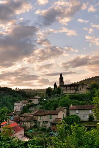
Elevation of Castres-Mazamet Airport, Le Causse, Labruguière, France
Location: France > Tarn > Labruguière >
Longitude: 2.2905397
Latitude: 43.5549604
Elevation: 230m / 755feet
Barometric Pressure: 99KPa
Related Photos:
Topographic Map of Castres-Mazamet Airport, Le Causse, Labruguière, France
Find elevation by address:

Places near Castres-Mazamet Airport, Le Causse, Labruguière, France:
Labruguière
25 Caunan en Gelis, Labruguière, France
Viviers-lès-montagnes
Pont-de-larn
3 Chemin Vert, Pont-de-Larn, France
5 Place Saint-Jean, Pont-de-Larn, France
22 Chemin de Lardenne, Viviers-lès-Montagnes, France
Pradelles-cabardès
Pic De Nore
Courrege Haute
Sorèze
Rue Charles de Guibert, Sorèze, France
Puylaurens
13 Rue Jacques François de Robert, Sorèze, France
Chemin de Co d'Ensens, Labécède-Lauragais, France
3 Chemin de Mayrac, Citou, France
Citou
1 Avenue Paul Riquet, Caux-et-Sauzens, France
Labécède-lauragais
Caux-et-sauzens
Recent Searches:
- Elevation of Corso Fratelli Cairoli, 35, Macerata MC, Italy
- Elevation of Tallevast Rd, Sarasota, FL, USA
- Elevation of 4th St E, Sonoma, CA, USA
- Elevation of Black Hollow Rd, Pennsdale, PA, USA
- Elevation of Oakland Ave, Williamsport, PA, USA
- Elevation of Pedrógão Grande, Portugal
- Elevation of Klee Dr, Martinsburg, WV, USA
- Elevation of Via Roma, Pieranica CR, Italy
- Elevation of Tavkvetili Mountain, Georgia
- Elevation of Hartfords Bluff Cir, Mt Pleasant, SC, USA


