Elevation of Castleton, VA, USA
Location: United States > Virginia > Rappahannock County > Stonewall-hawthorne >
Longitude: -78.106665
Latitude: 38.6059551
Elevation: 184m / 604feet
Barometric Pressure: 99KPa
Elevation Map:
Satellite Map:
Related Photos:
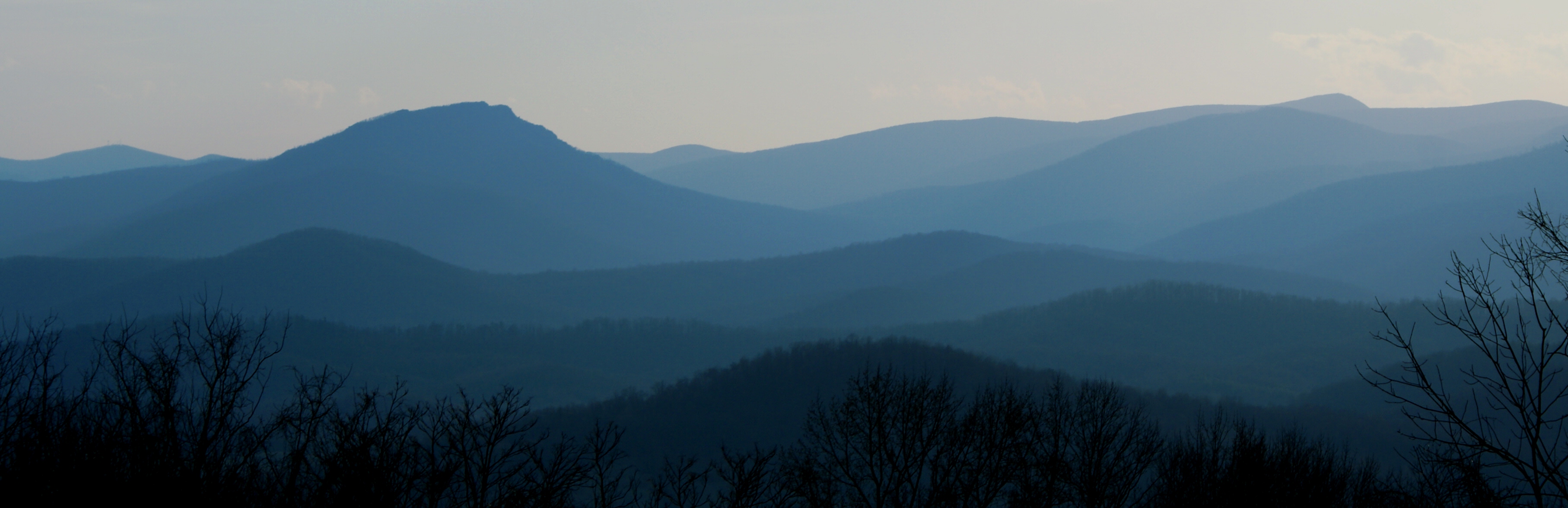
Old Rag & Mountains of Shenandoah
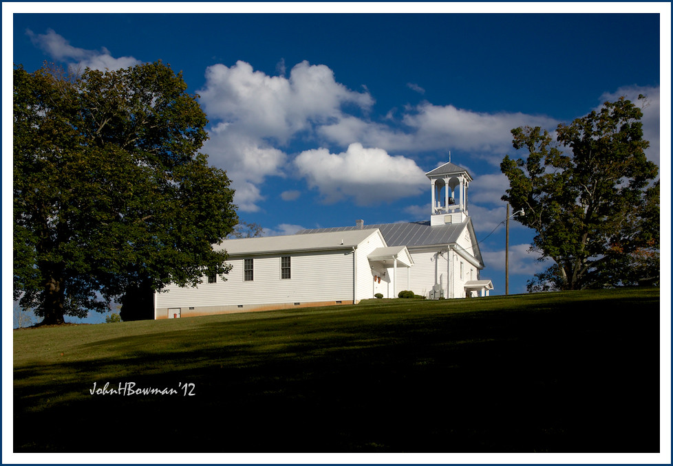
Slate Mills Baptist Church

View from mom's balcony
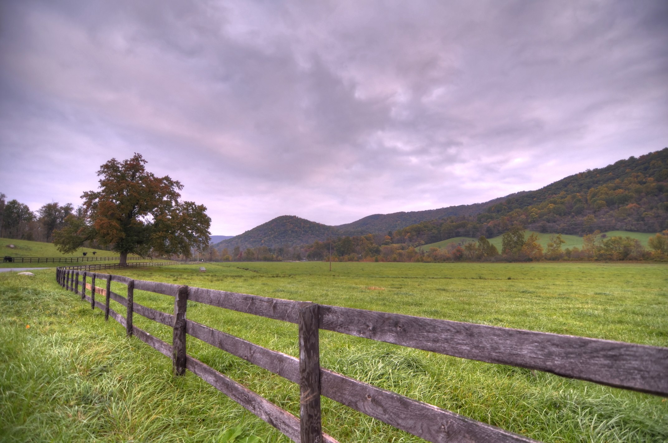
Unsettled Autumn morning

T-6 air to air

Old Rag and farm

Massies Corner July 2010
Back 40 in Autumn
Front View Of Rappahannock County Courthouse

Quiet Autumn morning

Kaonashi!
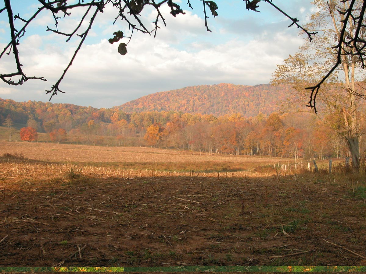
More Back 40 in Autumn
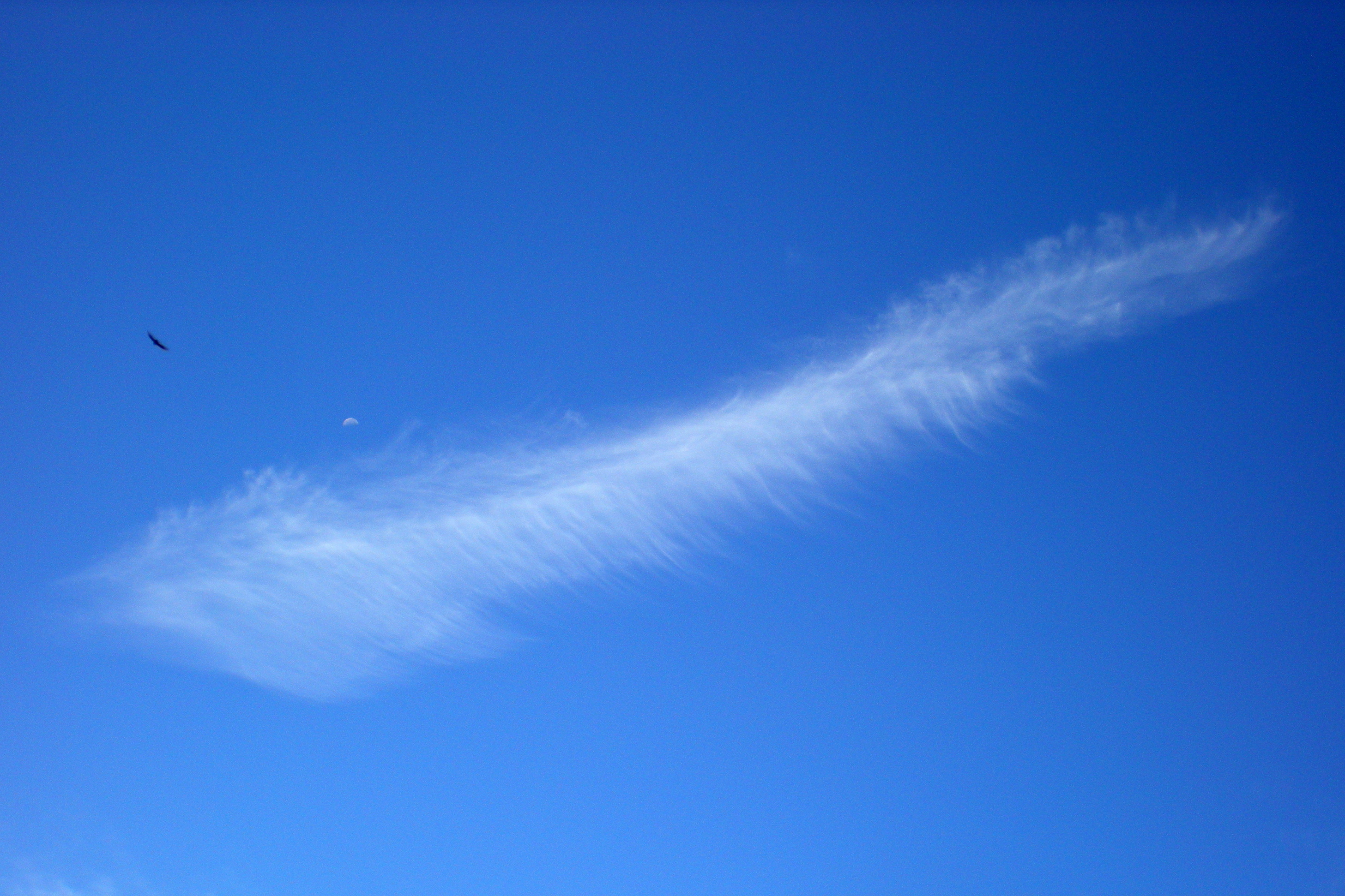
Feather-Shaped Cloud
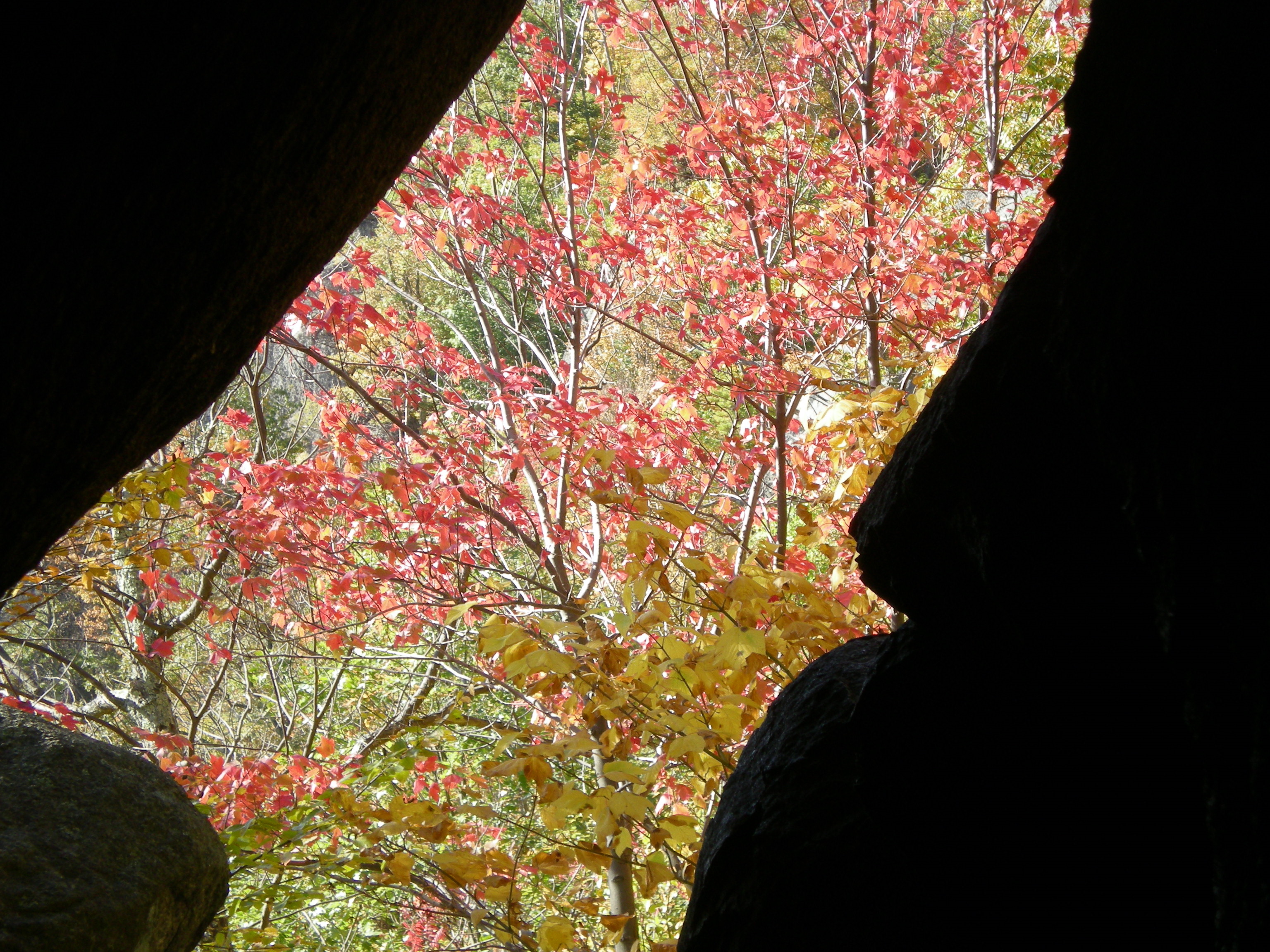
View Through the Cleft
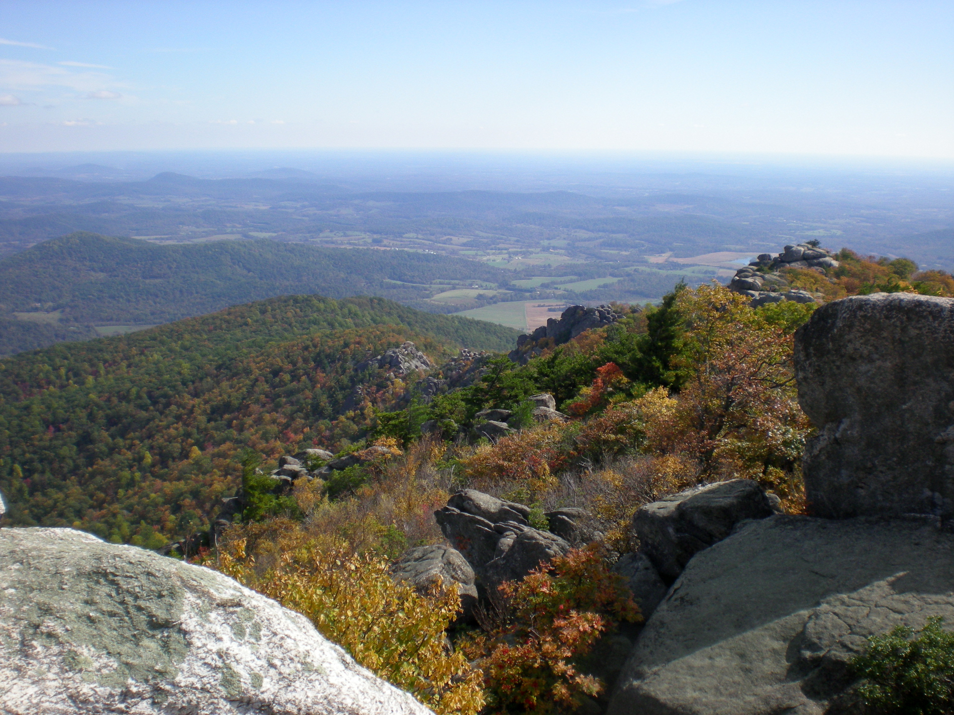
View from the Summit
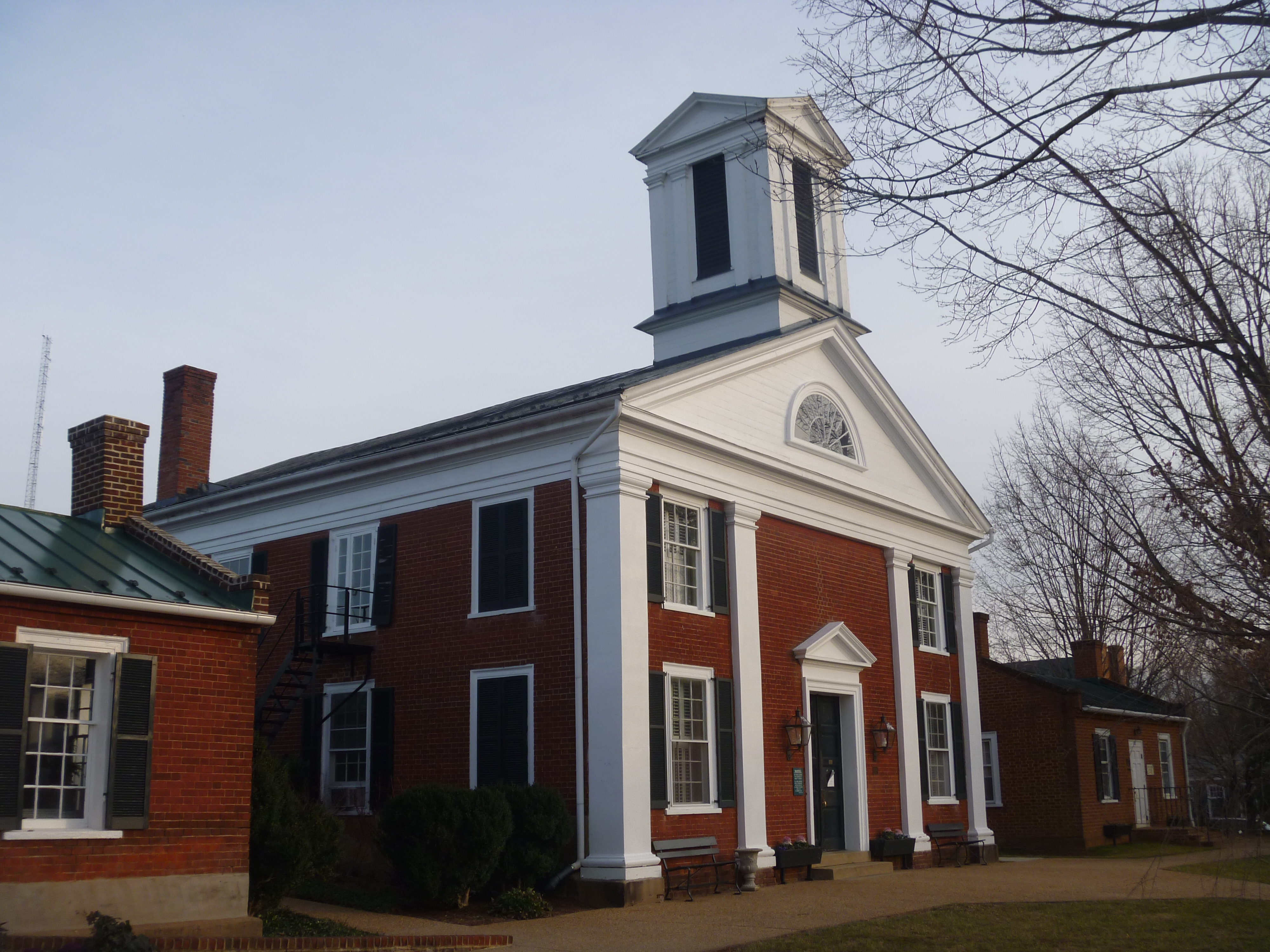
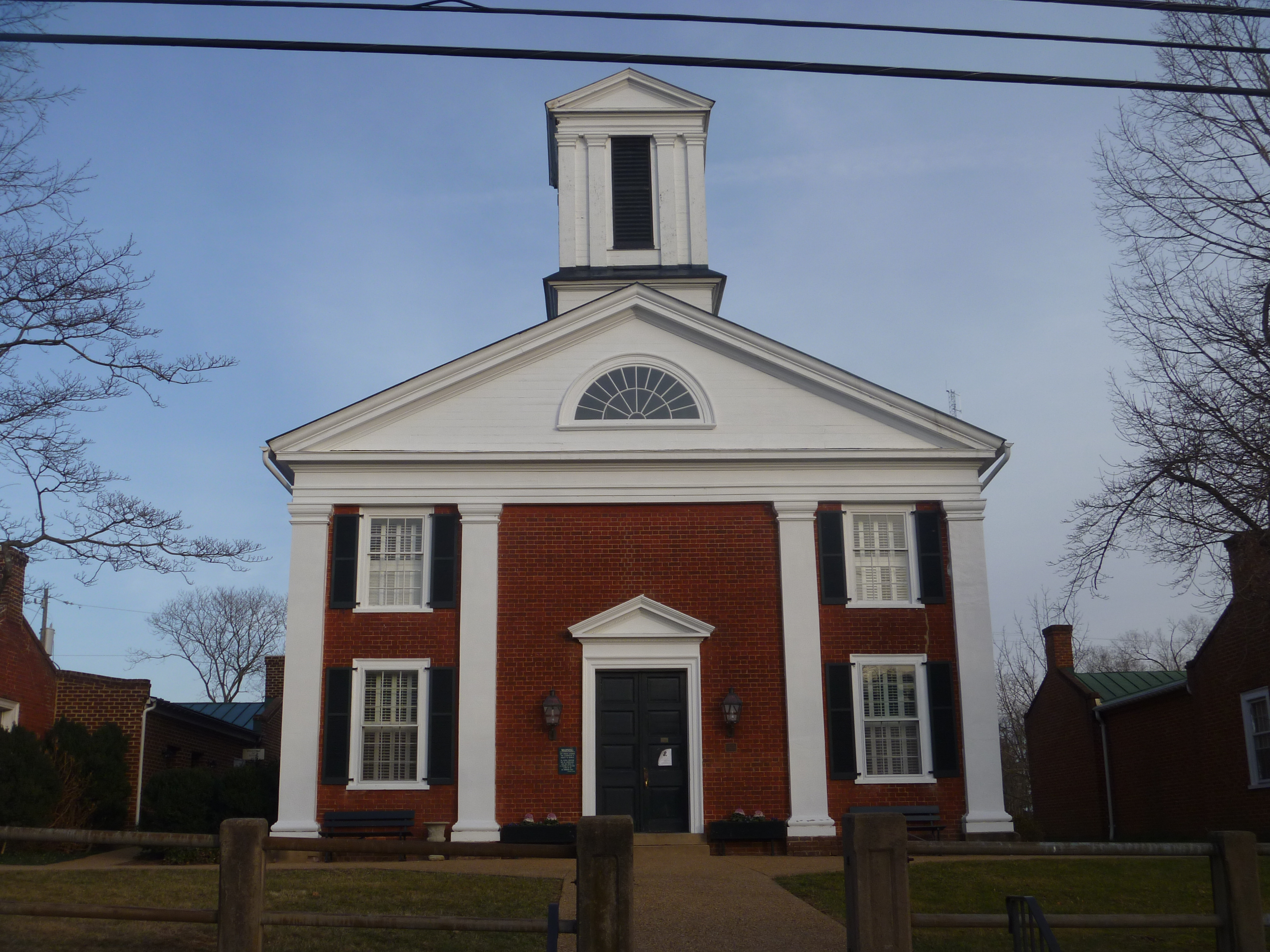
Rappahannock County Courthouse, Washington VA
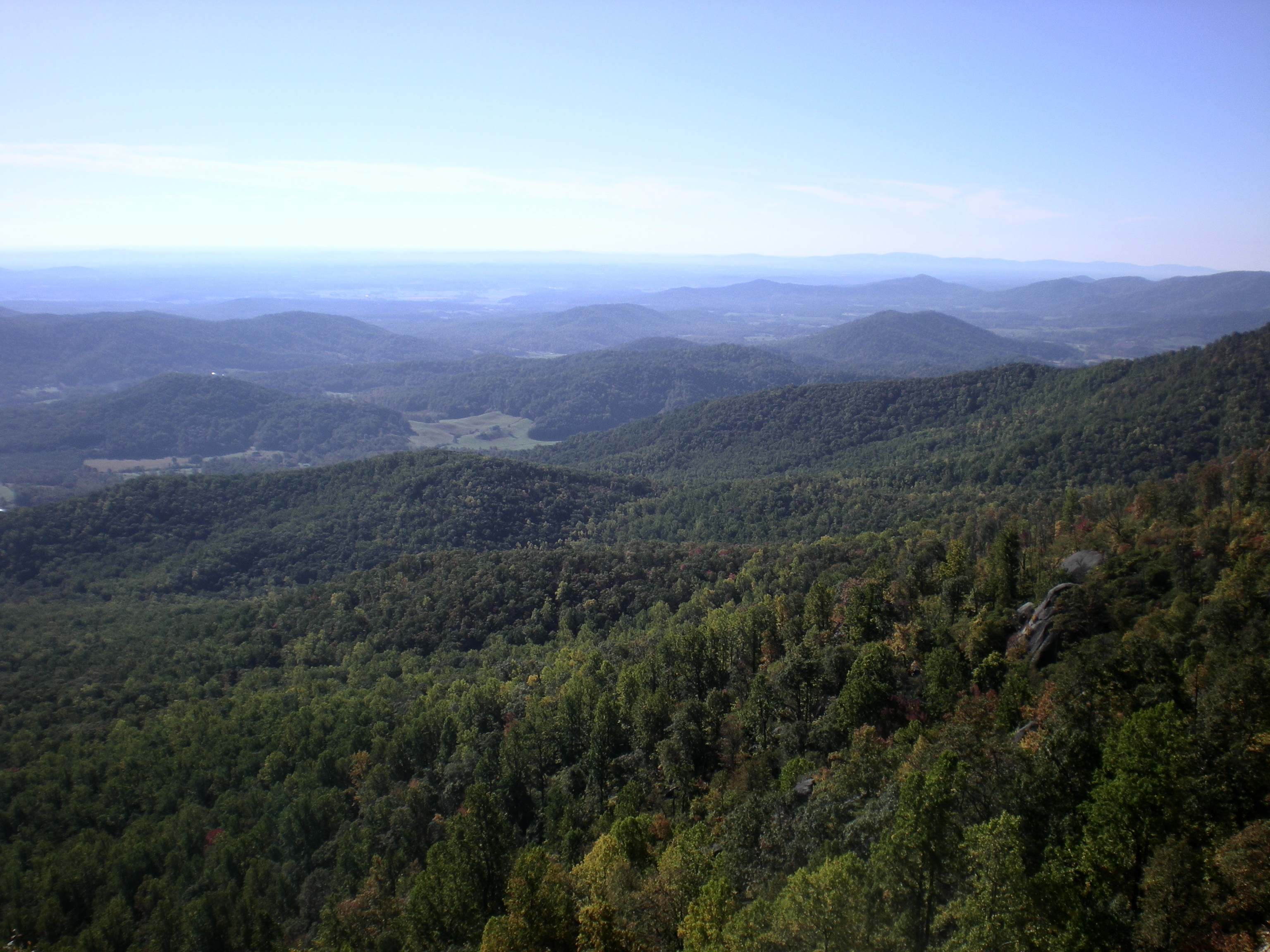
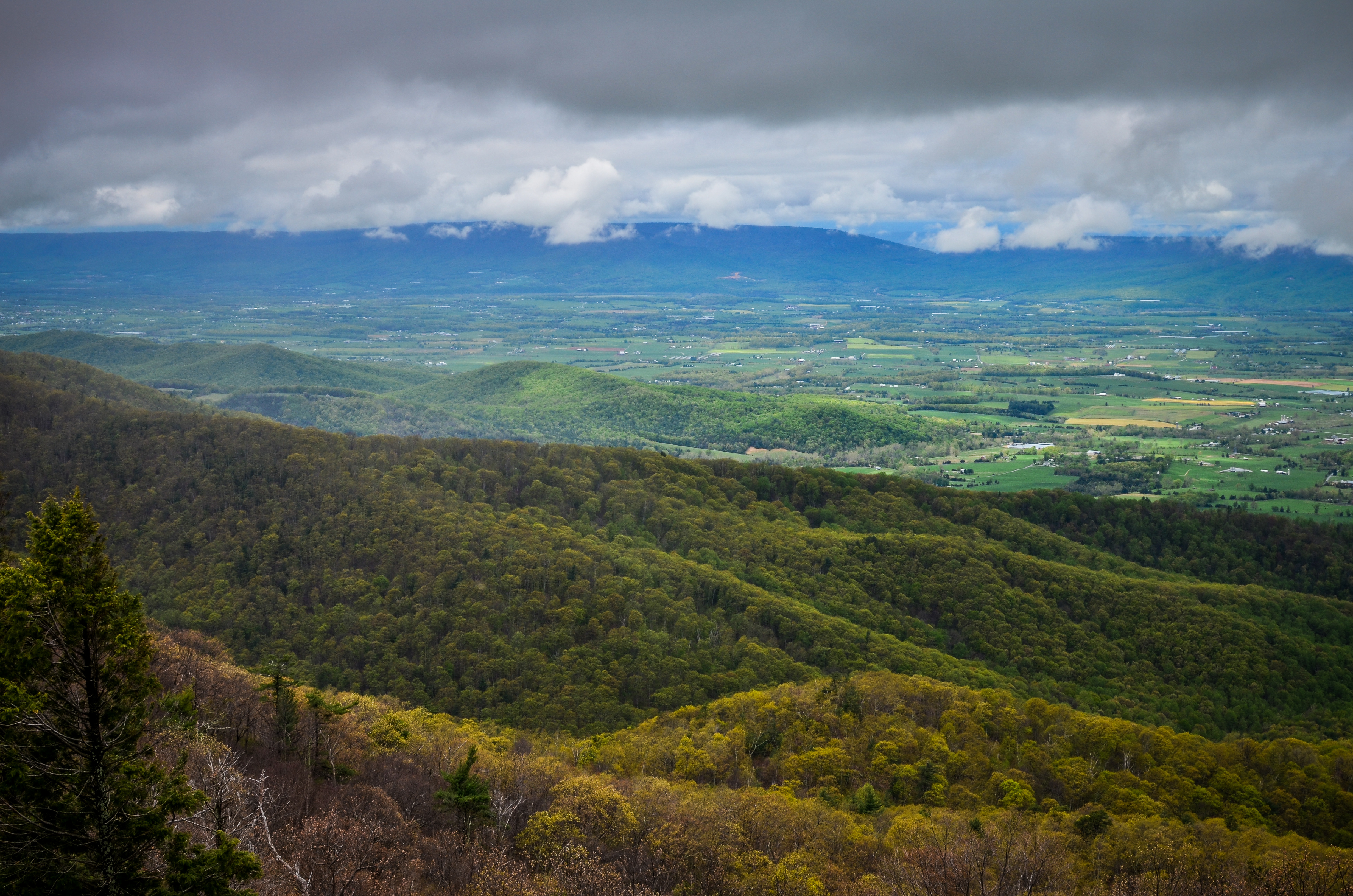
View over Virginia

Washington VA And A Blue Ridge Mountain View
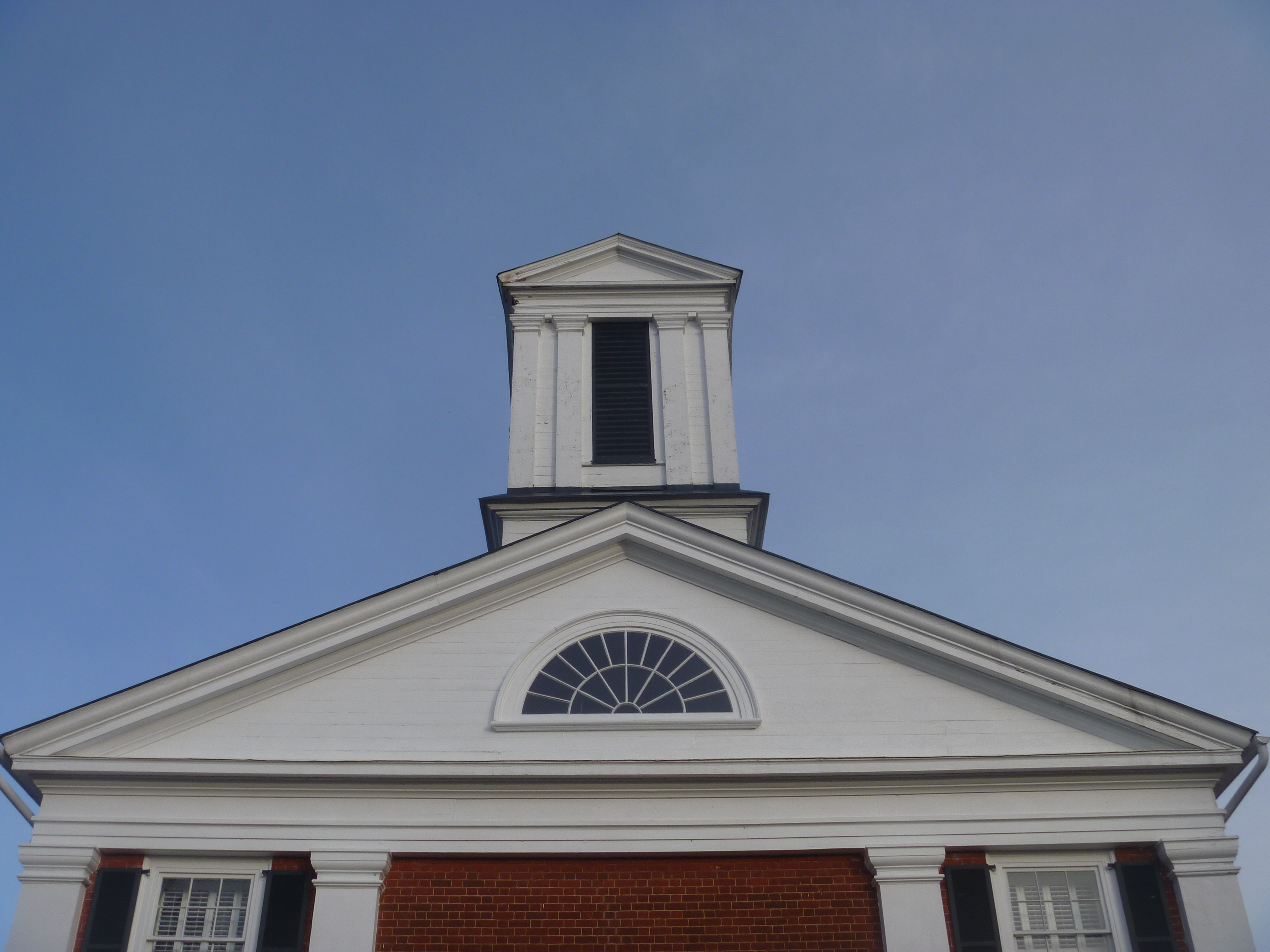
Top Side View Of Rappahannock County Courthouse
View from the Shenandoah
Long View
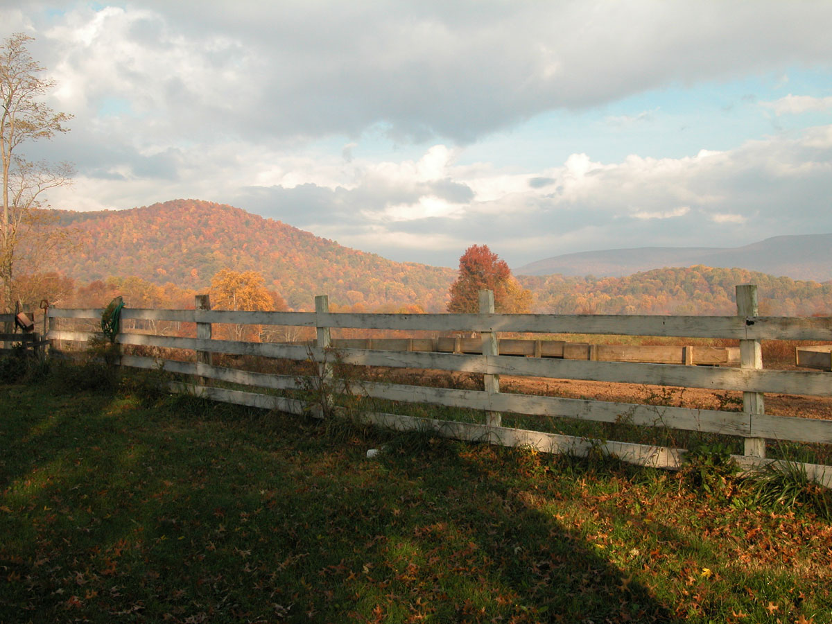
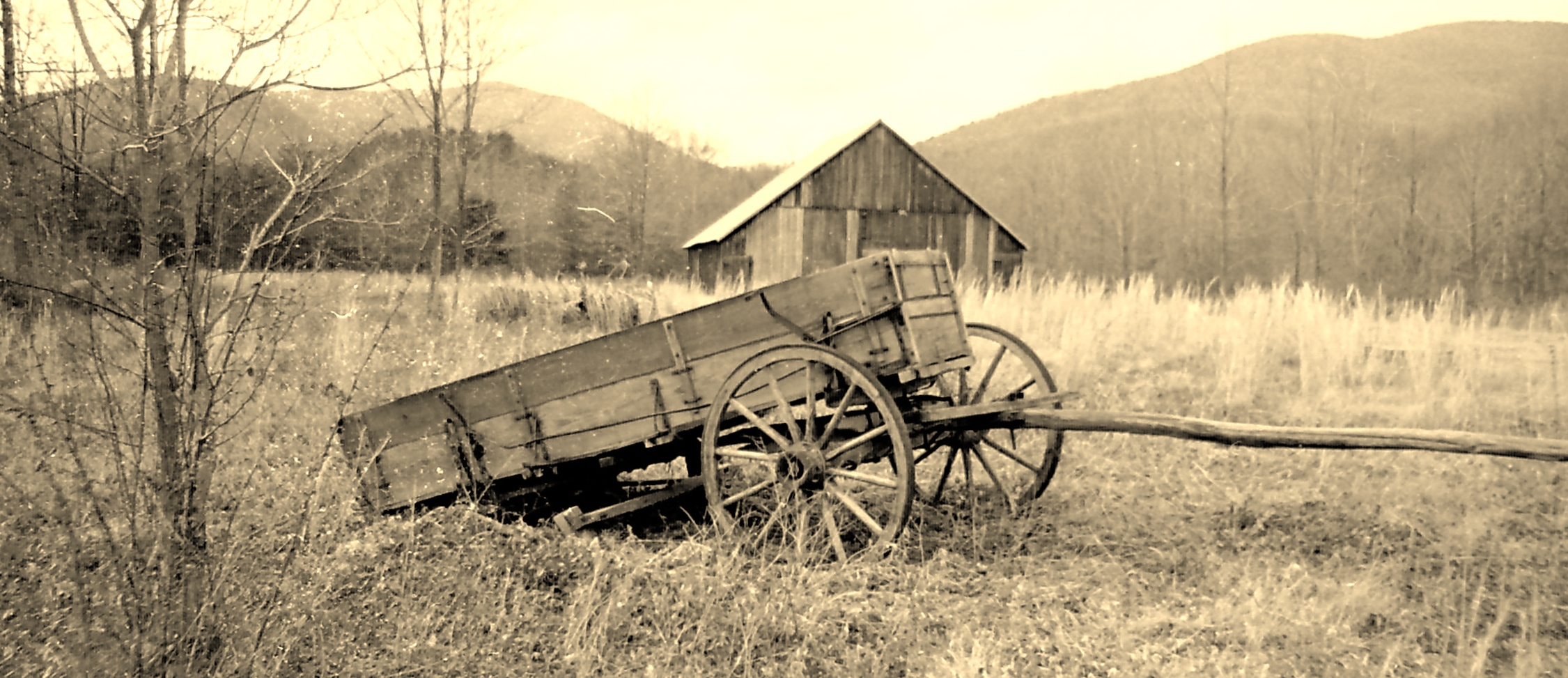
Farm near Flint Hill VA

Well...
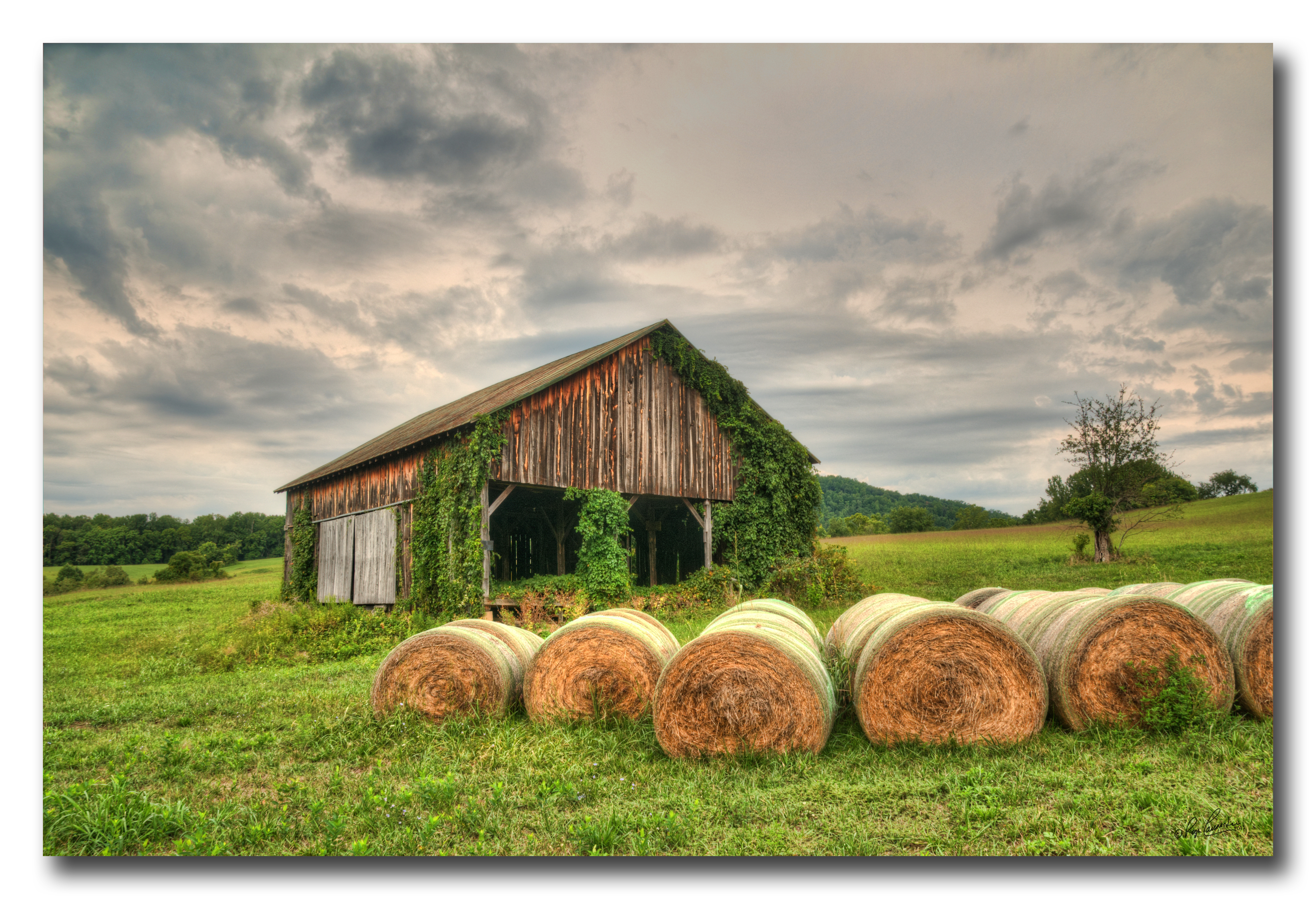
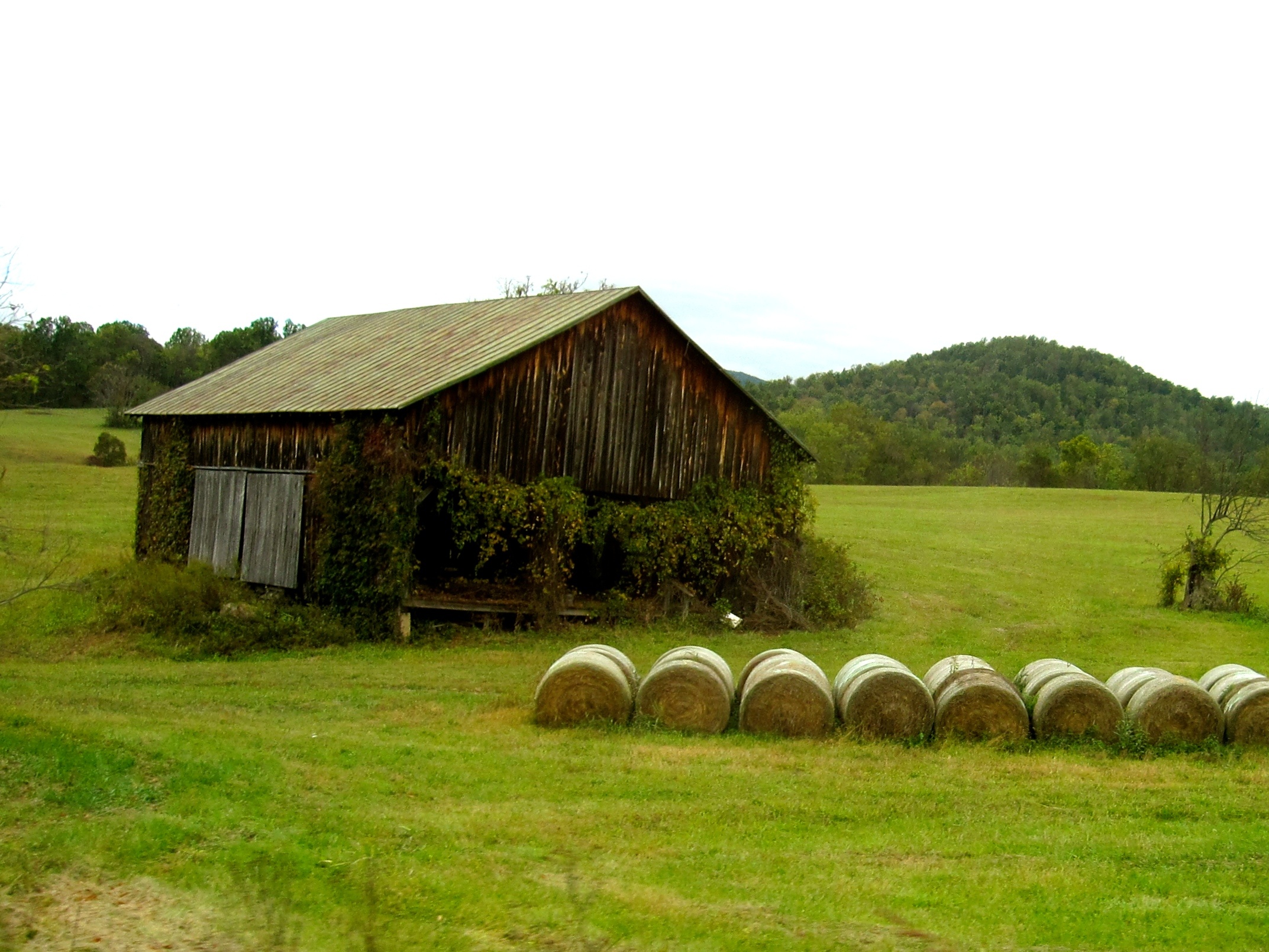
Old Barn Day...#1
Washington, VA HDR
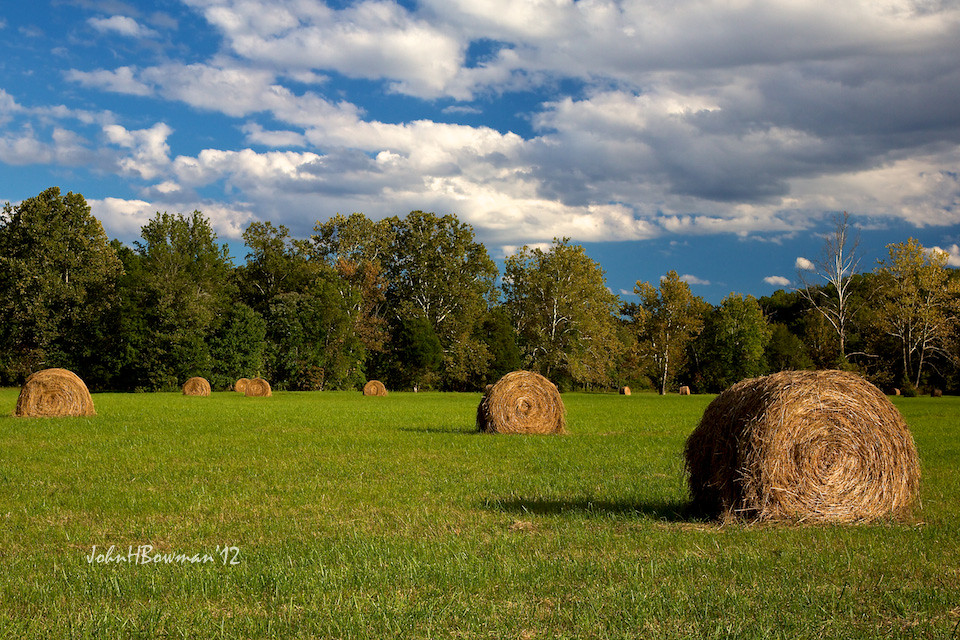
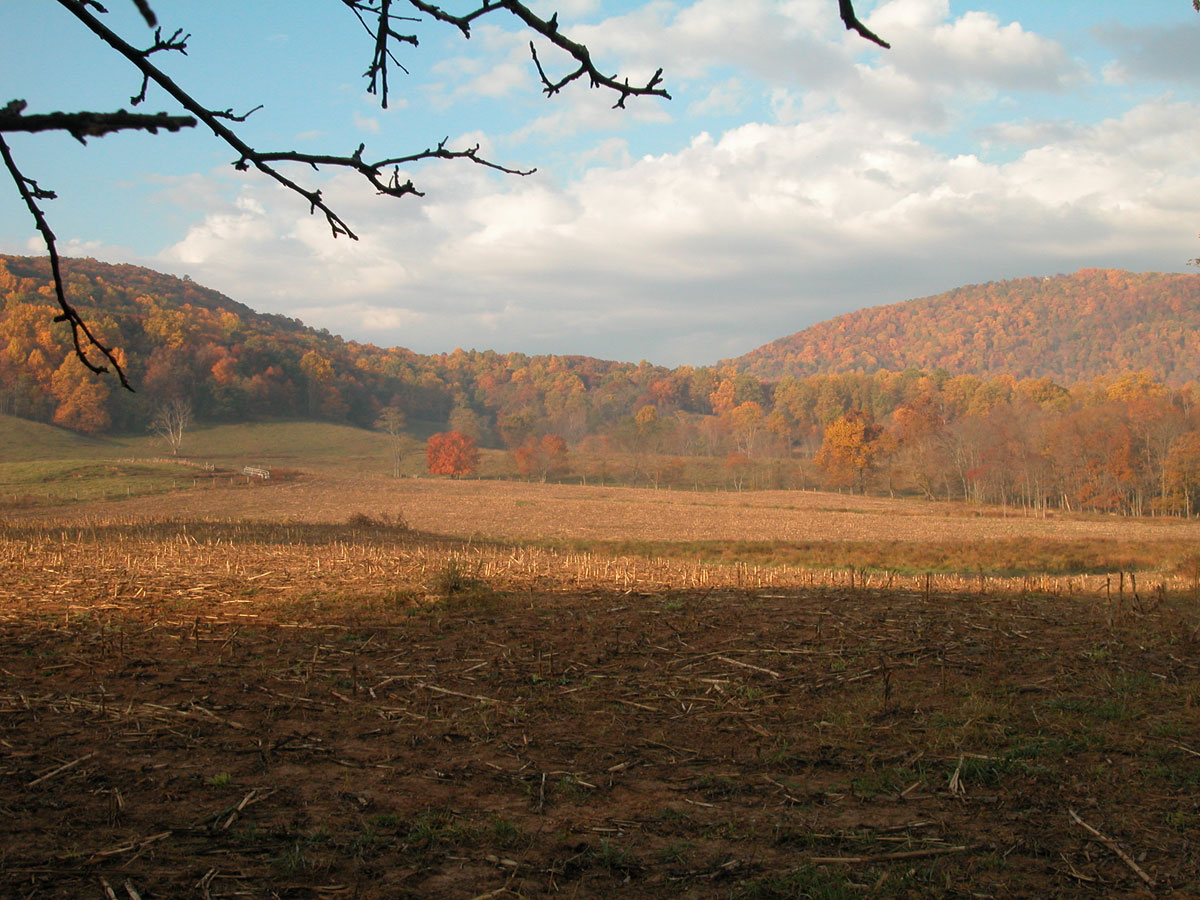
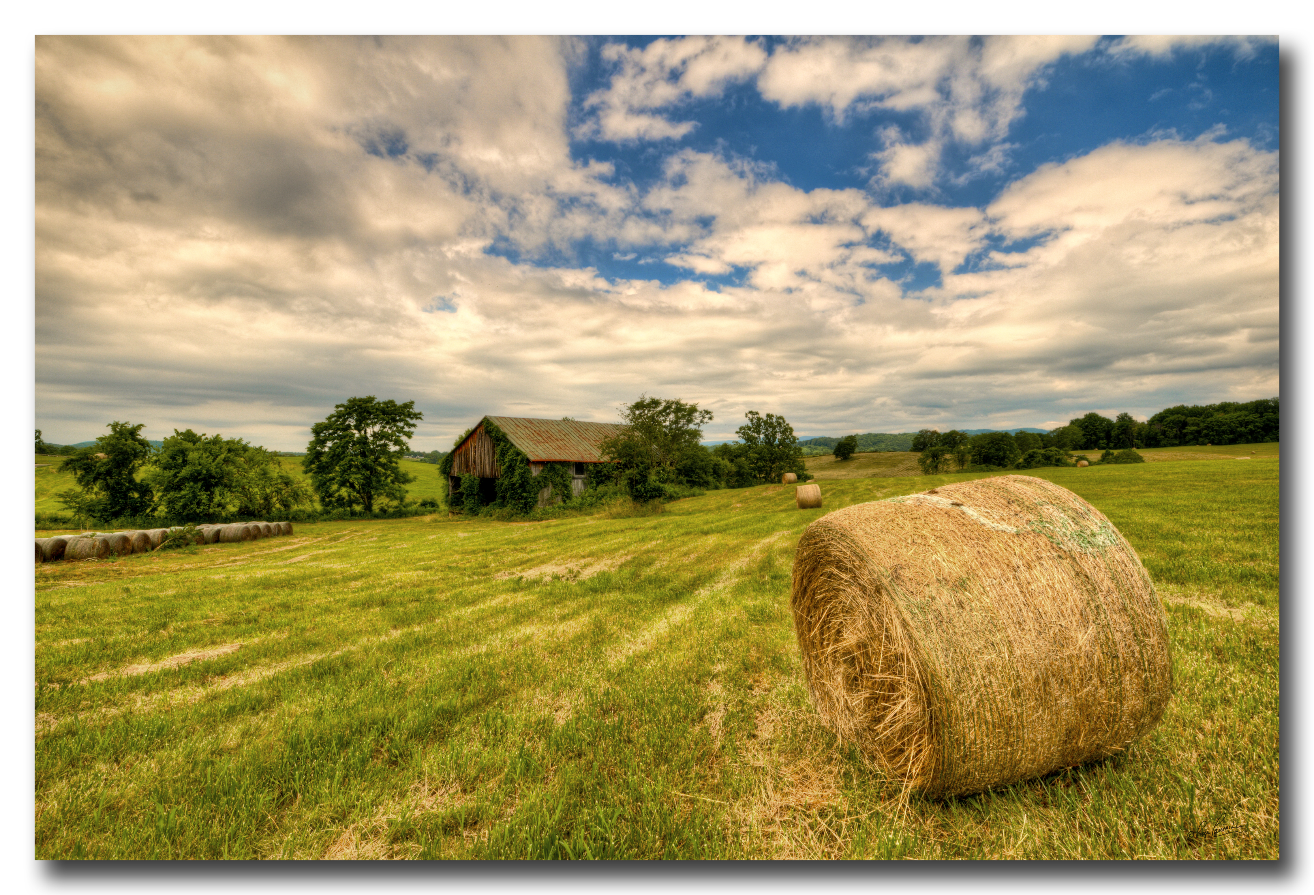
Early Fall Field
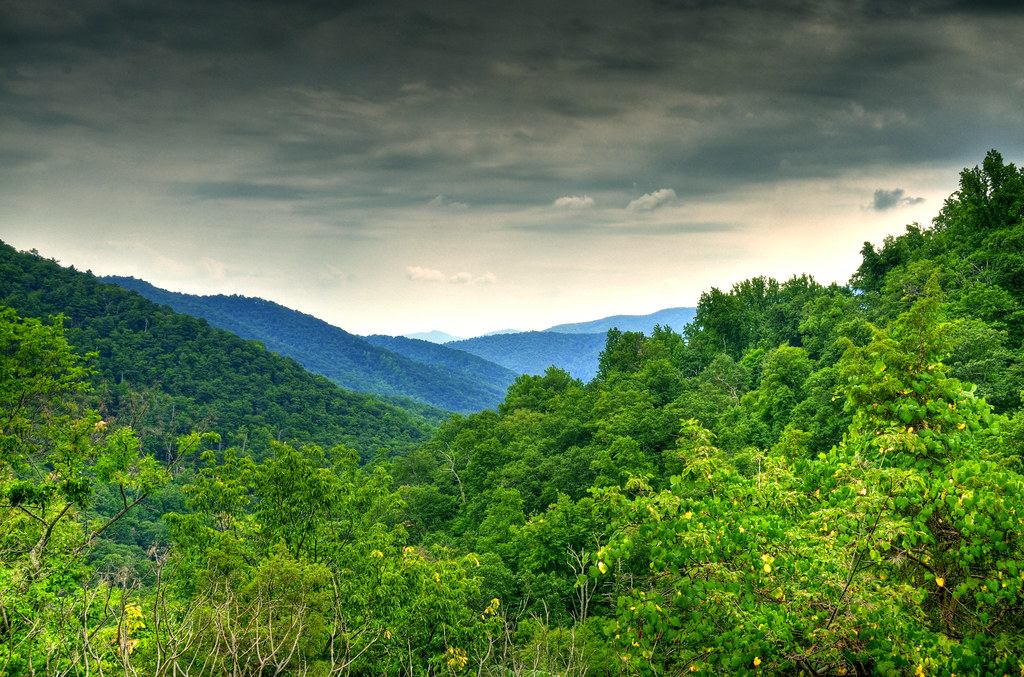
Shenandoah National Park
You try and tell me Virginia isn't one of the most beautiful places on earth
Gib Brown Hollow Road, Rediviva, Rappahannock County, Virginia
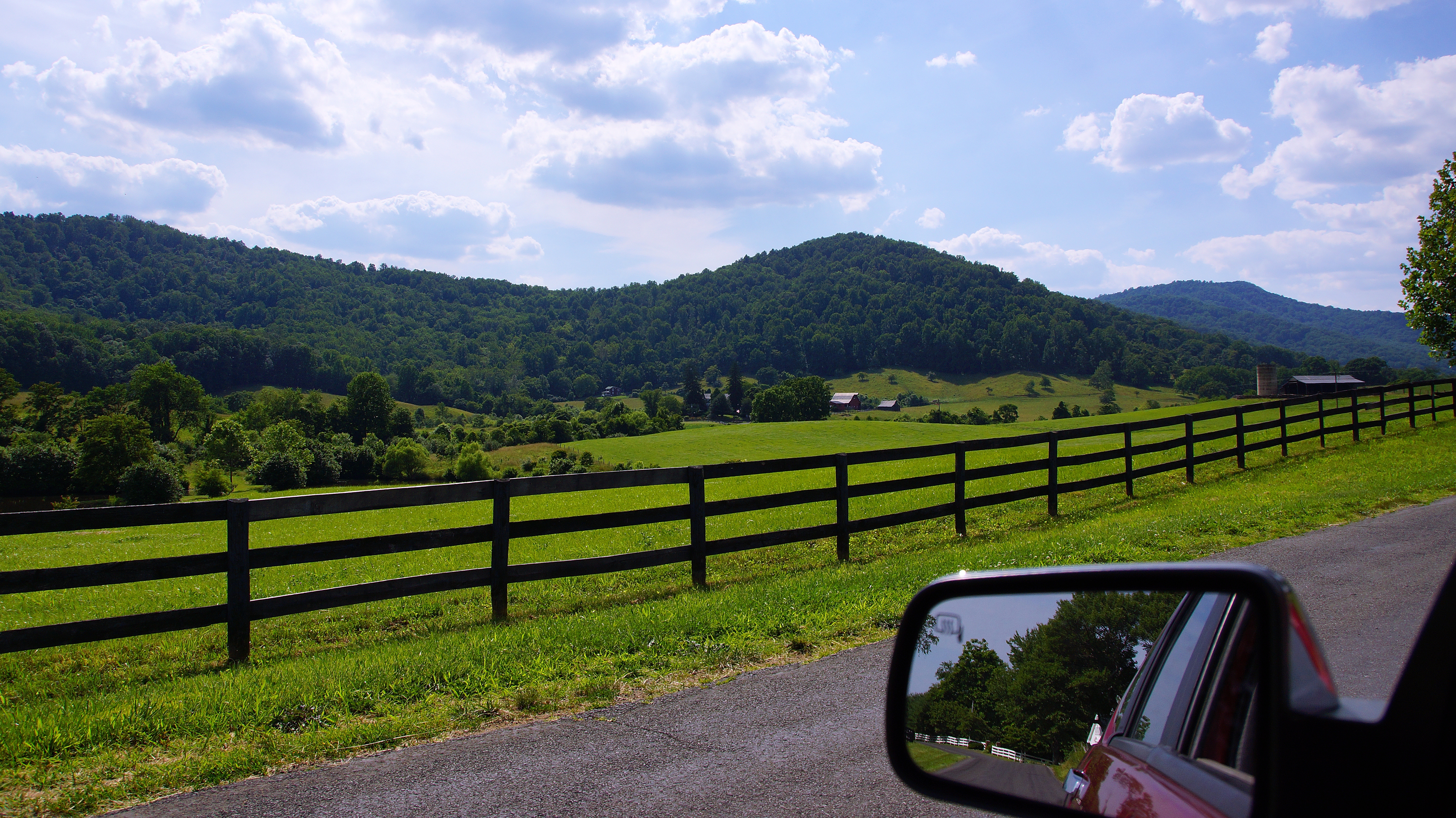
Road Tripping in Virginia

Heavy traffic

Candy Corn Flowers

skyline 1
Bird on a hot tin roof
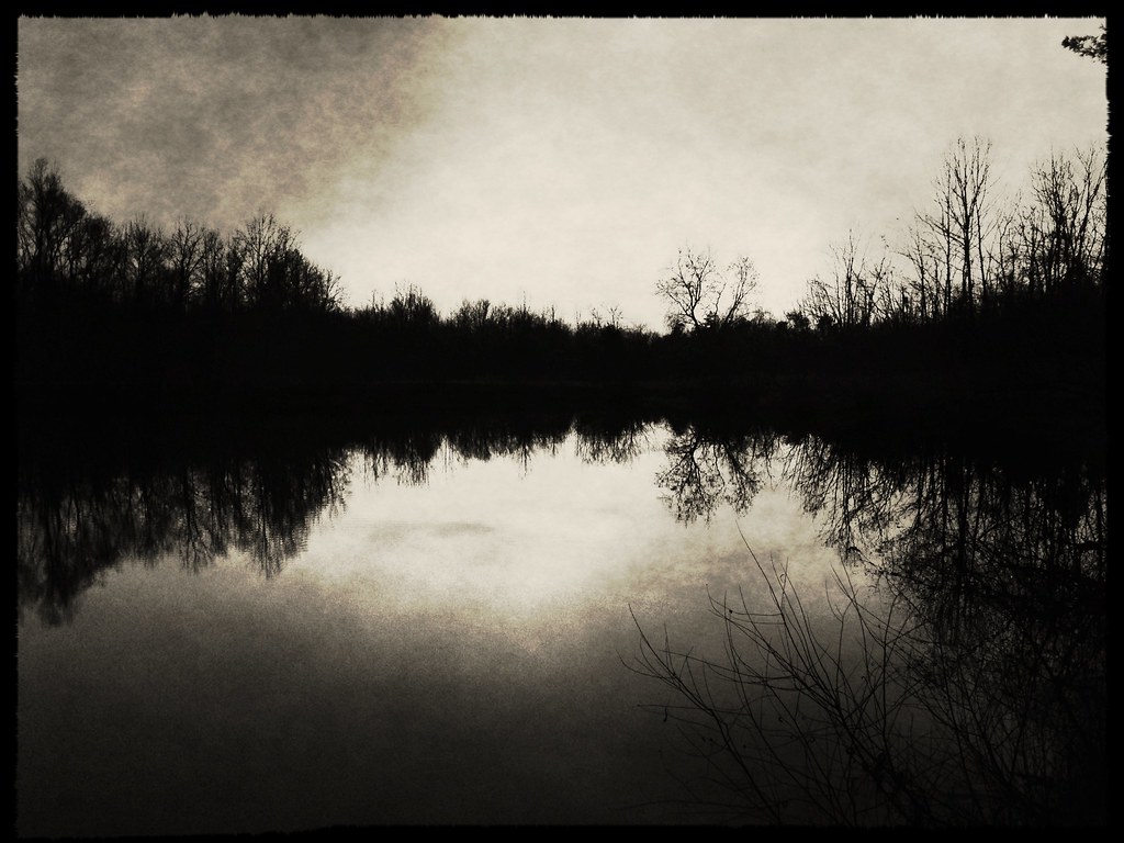
Winter Pond

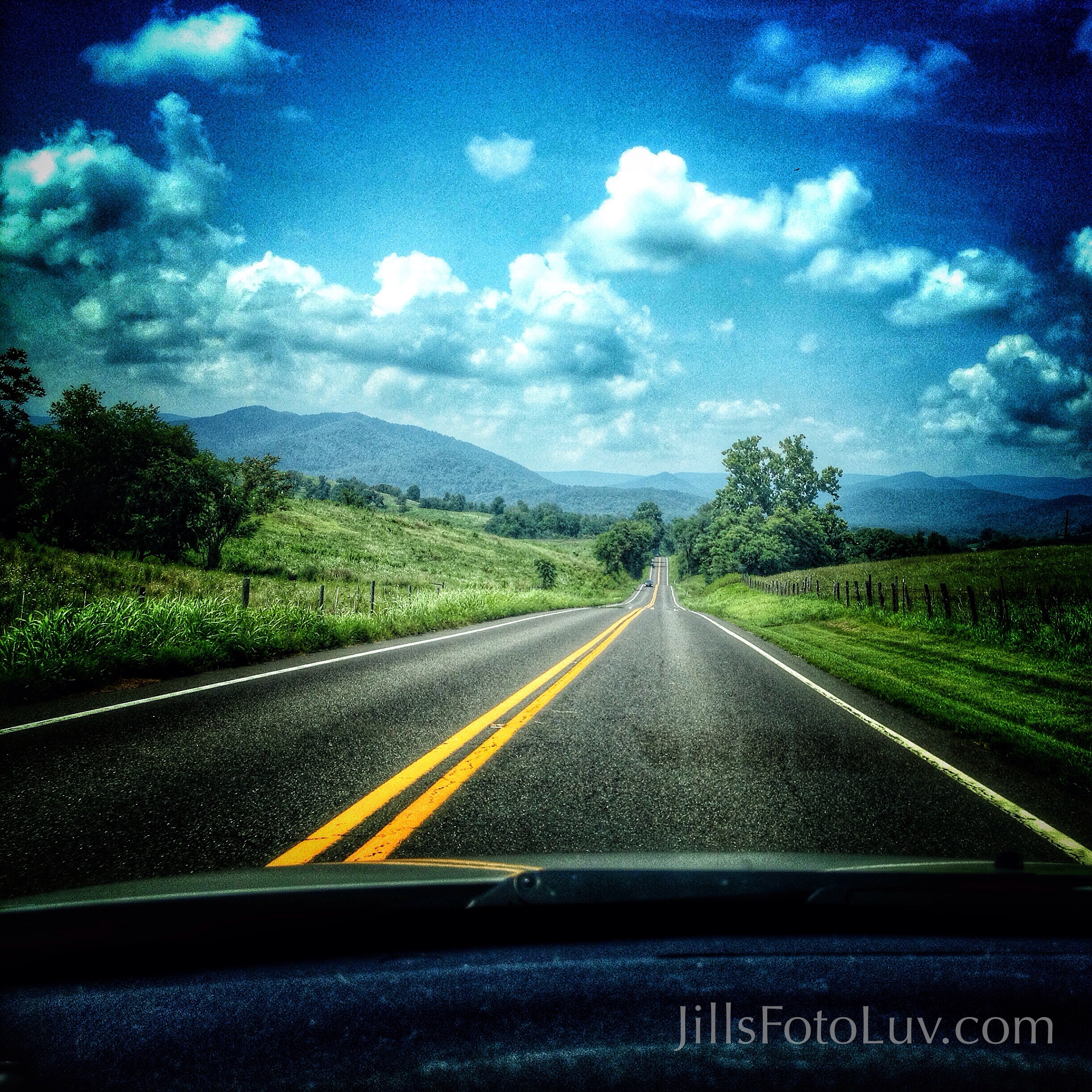
Blue Ridge Mountains - Virginia
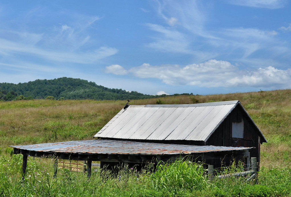
Barn scene - Virginia countryside
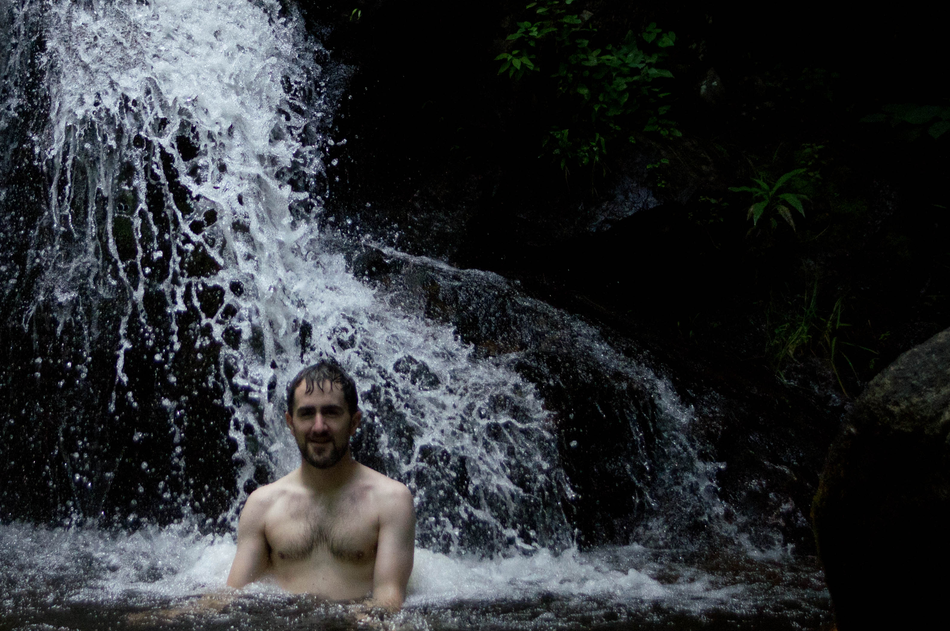
20110710-DSC08437.jpg
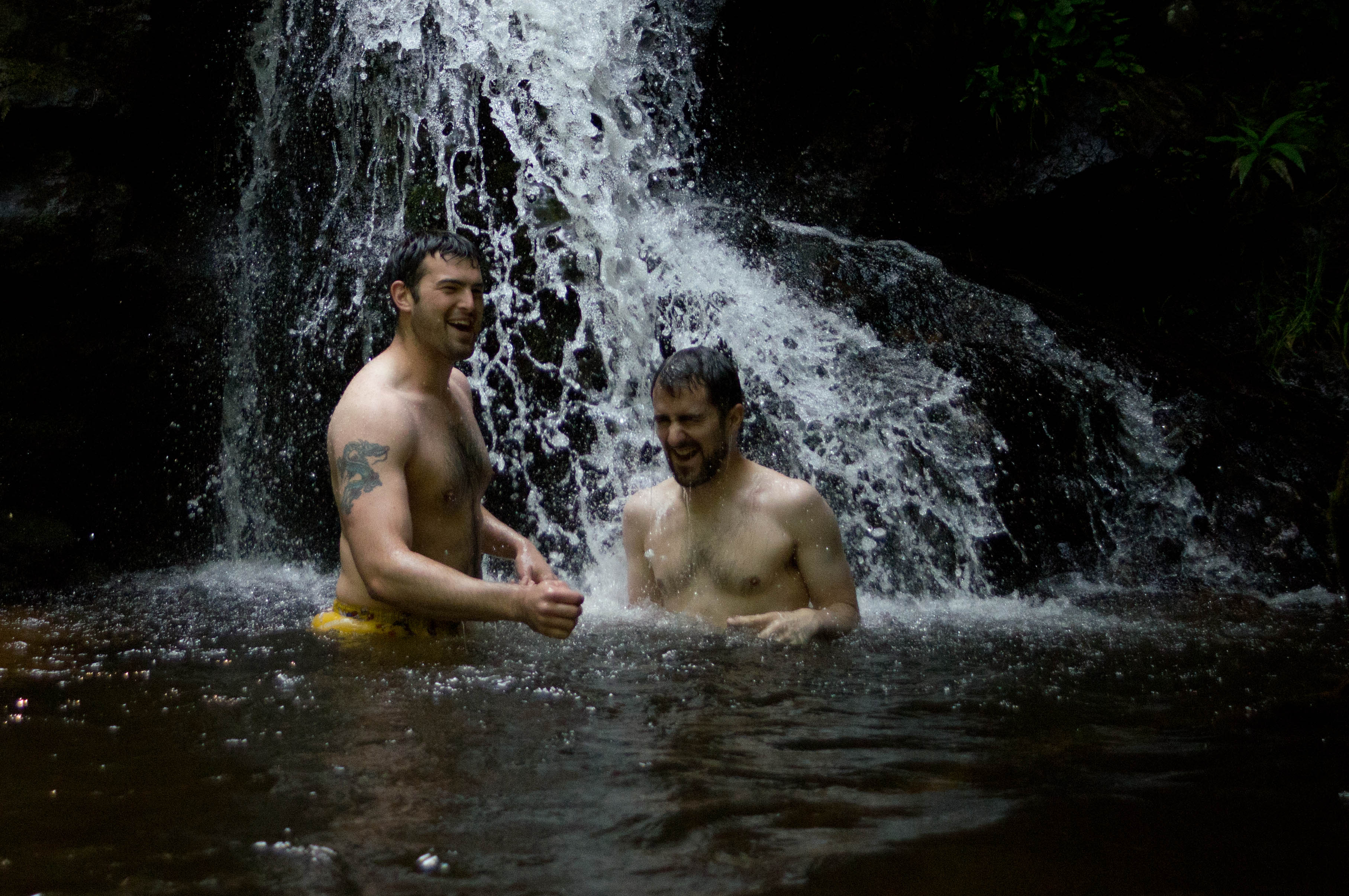
20110710-DSC08427.jpg
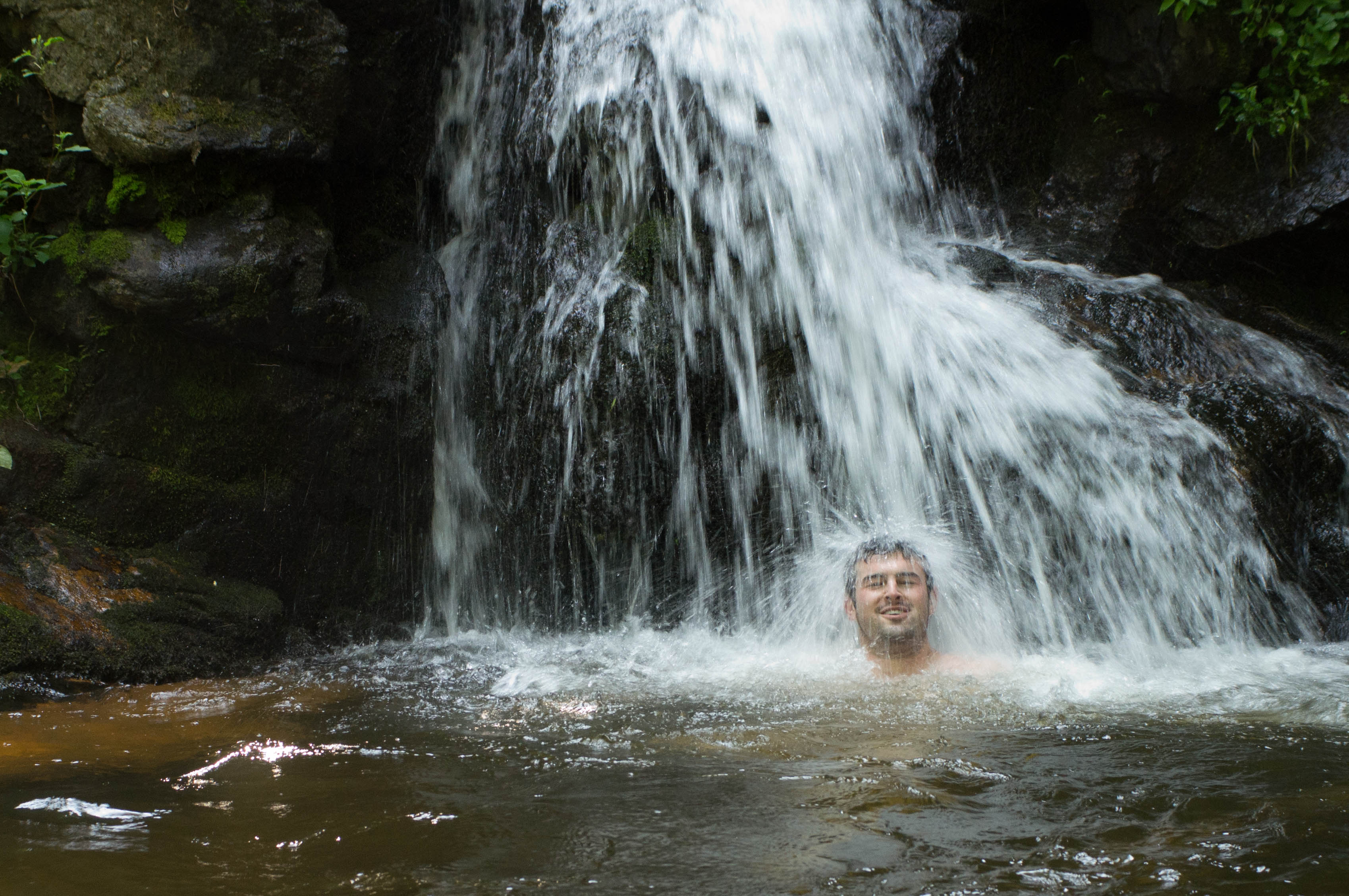
20110710-DSC08384.jpg
20110710-DSC08441.jpg
Topographic Map of Castleton, VA, USA
Find elevation by address:

Places near Castleton, VA, USA:
Stonewall-hawthorne
419 Laurel Mills Rd
499 Rock Mills Rd
499 Rock Mills Rd
Woodville, VA, USA
204 Comptons Rd
Sperryville Pike, Woodville, VA, USA
Woodville
Boston
Eggbornsville Road
Little Battle Mountain
12402 Hunt Rd
Sperryville Pike, Culpeper, VA, USA
13594 Highland Dr
Slate Mills Road
12284 Major Brown Dr
1429 F.t. Valley Road
Sperryville
11849 Lee Hwy
27 Ashby Rd
Recent Searches:
- Elevation of Corso Fratelli Cairoli, 35, Macerata MC, Italy
- Elevation of Tallevast Rd, Sarasota, FL, USA
- Elevation of 4th St E, Sonoma, CA, USA
- Elevation of Black Hollow Rd, Pennsdale, PA, USA
- Elevation of Oakland Ave, Williamsport, PA, USA
- Elevation of Pedrógão Grande, Portugal
- Elevation of Klee Dr, Martinsburg, WV, USA
- Elevation of Via Roma, Pieranica CR, Italy
- Elevation of Tavkvetili Mountain, Georgia
- Elevation of Hartfords Bluff Cir, Mt Pleasant, SC, USA