Elevation of Castillo Village, Kayapa, Nueva Vizcaya, Philippines
Location: Philippines > Cagayan Valley > Nueva Vizcaya > Kayapa >
Longitude: 120.913043
Latitude: 16.3668134
Elevation: 967m / 3173feet
Barometric Pressure: 90KPa
Elevation Map:
Satellite Map:
Related Photos:

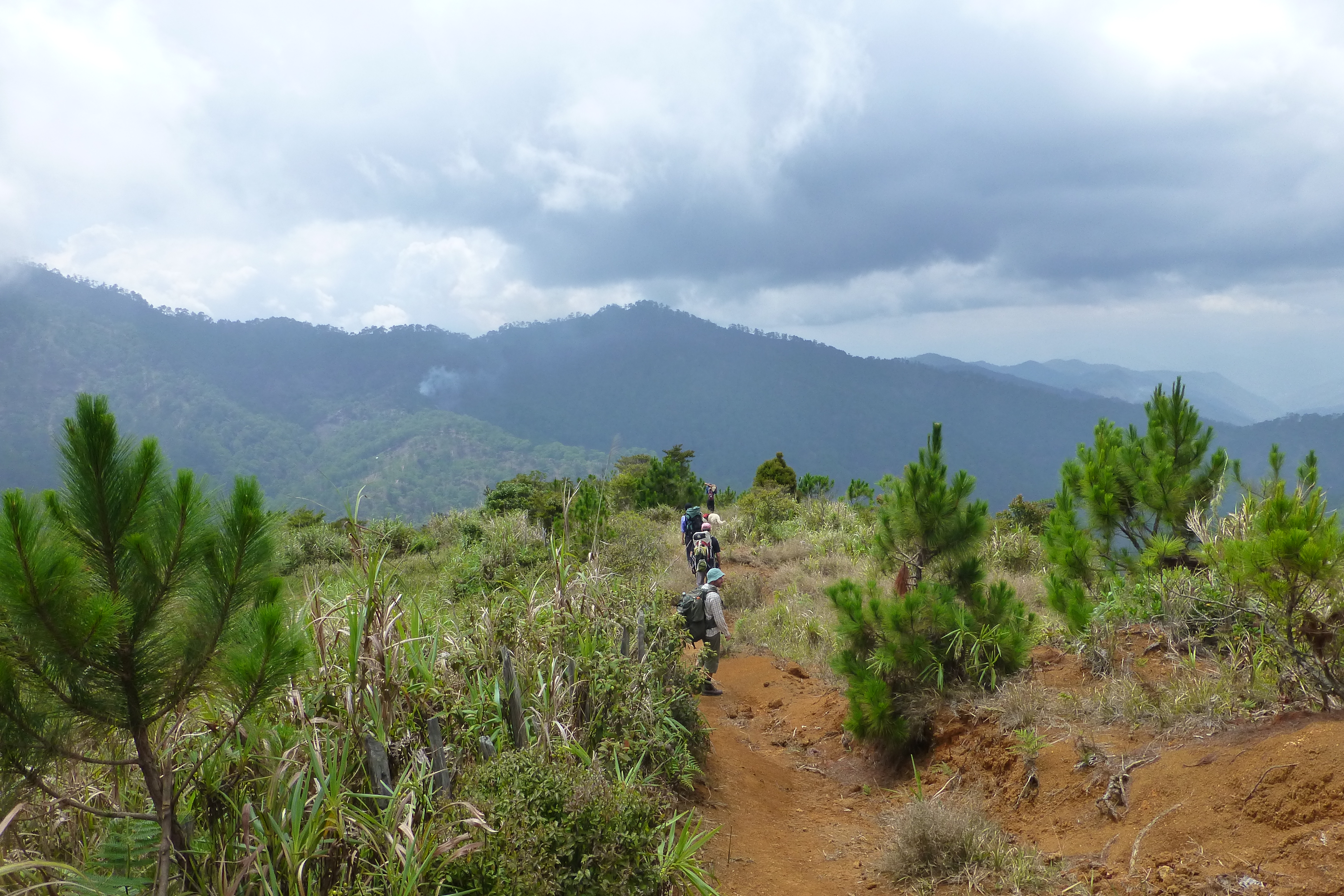
View of Mt Ugo

View of Mt Ugo

View towards Mt Pulag
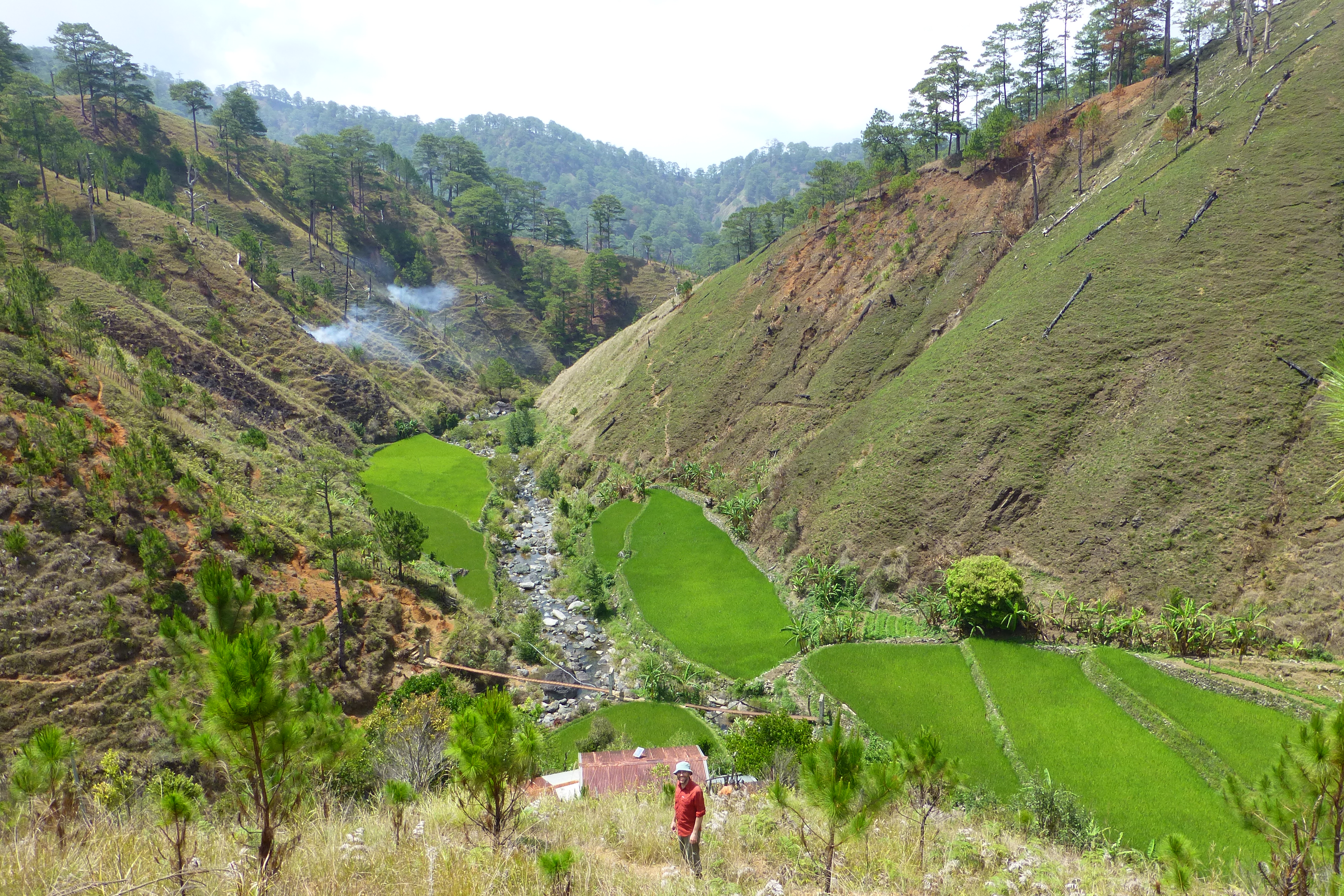
side trip to waterfall and rice terraces

Towards Mt Ugo

walking on the bunds

3km to go to Mt Ugo
down to Domolpos village

Vegetable patch

The Summit

What a wonderful world... #nuevavizcaya #iphoneshot #photoftheday #picoftheday #igers #igdaily #igersoftheday #byaheniyecky #panorth #phototrip #yearenderphototrip #yecky #photogyecky

#mossyforest
Topographic Map of Castillo Village, Kayapa, Nueva Vizcaya, Philippines
Find elevation by address:

Places near Castillo Village, Kayapa, Nueva Vizcaya, Philippines:
Binalian Integrated School
Moatong Bridge
Bokod Municipal Office
Daklan Elementary School
Bangen Elementary School
Karao
Bokod
Tinongdan
Daclan Elementary School
Lebeng Elementary School
Ambuklao Dam
Tinongdan Barangay Hall
Ambuclao
Goldfield Primary School
Ampucao Elementary School
Itogon Municipal Hall
Loacan
Tuding
Alejo M. Pacalso Mem. National High School
Fort Del Pilar
Recent Searches:
- Elevation of Corso Fratelli Cairoli, 35, Macerata MC, Italy
- Elevation of Tallevast Rd, Sarasota, FL, USA
- Elevation of 4th St E, Sonoma, CA, USA
- Elevation of Black Hollow Rd, Pennsdale, PA, USA
- Elevation of Oakland Ave, Williamsport, PA, USA
- Elevation of Pedrógão Grande, Portugal
- Elevation of Klee Dr, Martinsburg, WV, USA
- Elevation of Via Roma, Pieranica CR, Italy
- Elevation of Tavkvetili Mountain, Georgia
- Elevation of Hartfords Bluff Cir, Mt Pleasant, SC, USA