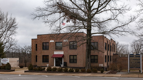
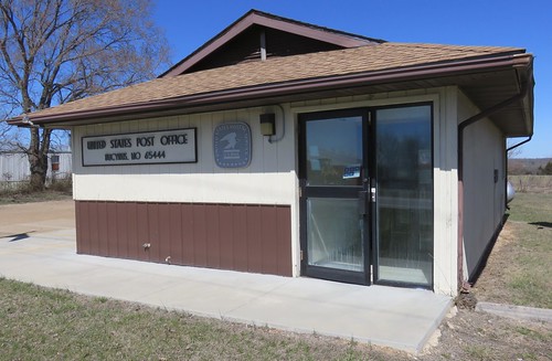
Elevation of Cass Township, MO, USA
Location: United States > Missouri > Texas County >
Longitude: -91.968582
Latitude: 37.2167044
Elevation: 391m / 1283feet
Barometric Pressure: 97KPa
Related Photos:
Topographic Map of Cass Township, MO, USA
Find elevation by address:

Places in Cass Township, MO, USA:
Places near Cass Township, MO, USA:
Hwy Ac & Hwy H
Elk Creek
5835 Hogan Rd
17422 Hwy H
17422 Hwy H
4188 Us Hwy 63
14462 Kile Rd
14462 Kile Rd
14462 Kile Rd
14462 Kile Rd
14462 Kile Rd
15227 Hwy U
Houston
2206 Mt Pisgah Rd
2206 Mt Pisgah Rd
Sargent Township
8398 Fisher Dr
Burdine Township
Beeler Road
Main St, Cabool, MO, USA
Recent Searches:
- Elevation of Corso Fratelli Cairoli, 35, Macerata MC, Italy
- Elevation of Tallevast Rd, Sarasota, FL, USA
- Elevation of 4th St E, Sonoma, CA, USA
- Elevation of Black Hollow Rd, Pennsdale, PA, USA
- Elevation of Oakland Ave, Williamsport, PA, USA
- Elevation of Pedrógão Grande, Portugal
- Elevation of Klee Dr, Martinsburg, WV, USA
- Elevation of Via Roma, Pieranica CR, Italy
- Elevation of Tavkvetili Mountain, Georgia
- Elevation of Hartfords Bluff Cir, Mt Pleasant, SC, USA
