Elevation of Casey Peak, Montana, USA
Location: United States > Montana > Jefferson County > Clancy >
Longitude: -111.81970
Latitude: 46.4290981
Elevation: 2560m / 8399feet
Barometric Pressure: 74KPa
Elevation Map:
Satellite Map:
Related Photos:
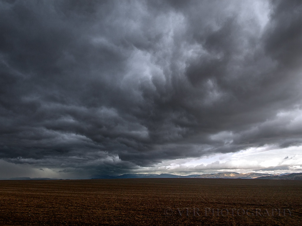
Firebusting, au naturale
Topographic Map of Casey Peak, Montana, USA
Find elevation by address:

Places near Casey Peak, Montana, USA:
High Peak
30 Wood Haulers Ln
32 Sleeping Giant
576 Hwy 282
99 Old Alhambra Rd, Clancy, MT, USA
Clancy
44 Pine Ridge Cir
29 Clark Creek Loop
18 Clancy Creek Rd
41 Clark Creek Loop
5 Rosie Ln
131 S Quarry Rd
29 Tiger Gulch
715 Sonoma Dr
Mule Trail Road
2 Mule Trail Rd
2 Mule Trail Rd
915 Saddle Dr
2755 Colonial Dr
718 Darby St
Recent Searches:
- Elevation of Corso Fratelli Cairoli, 35, Macerata MC, Italy
- Elevation of Tallevast Rd, Sarasota, FL, USA
- Elevation of 4th St E, Sonoma, CA, USA
- Elevation of Black Hollow Rd, Pennsdale, PA, USA
- Elevation of Oakland Ave, Williamsport, PA, USA
- Elevation of Pedrógão Grande, Portugal
- Elevation of Klee Dr, Martinsburg, WV, USA
- Elevation of Via Roma, Pieranica CR, Italy
- Elevation of Tavkvetili Mountain, Georgia
- Elevation of Hartfords Bluff Cir, Mt Pleasant, SC, USA