Elevation of Carvers Creek, NC, USA
Location: United States > North Carolina > Bladen County >
Longitude: -78.406973
Latitude: 34.4200331
Elevation: 21m / 69feet
Barometric Pressure: 101KPa
Elevation Map:
Satellite Map:
Related Photos:
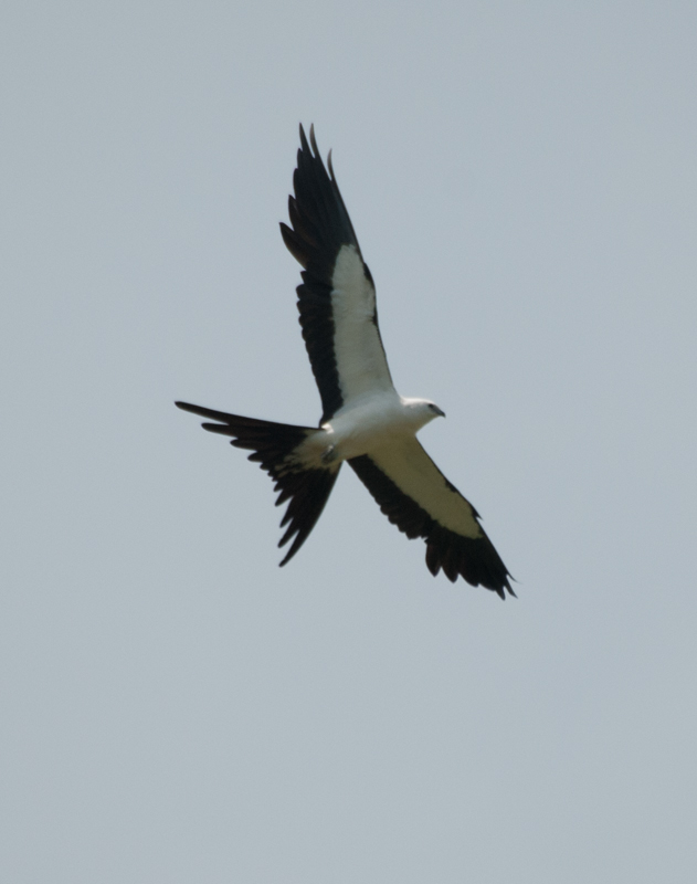
Swallow-tailed Kite 20130718002178
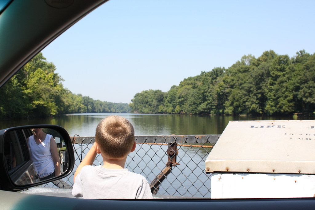
A Child's View
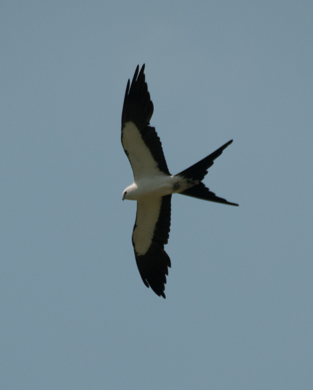
Swallow-tailed Kite 20130718002067
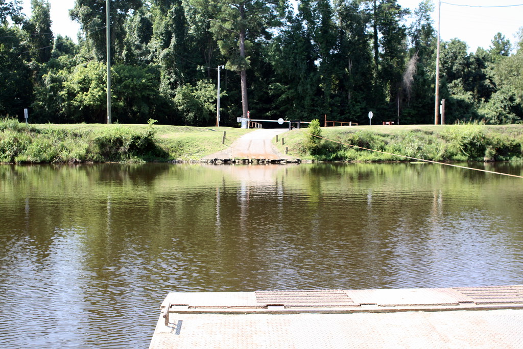
Elwell Ferry Landing
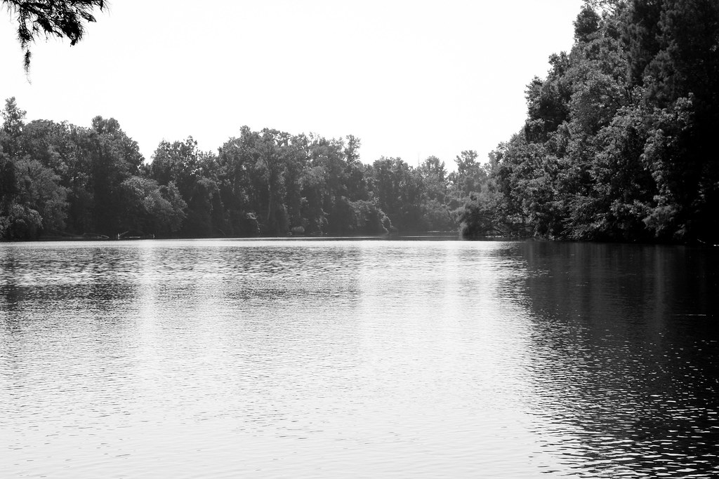
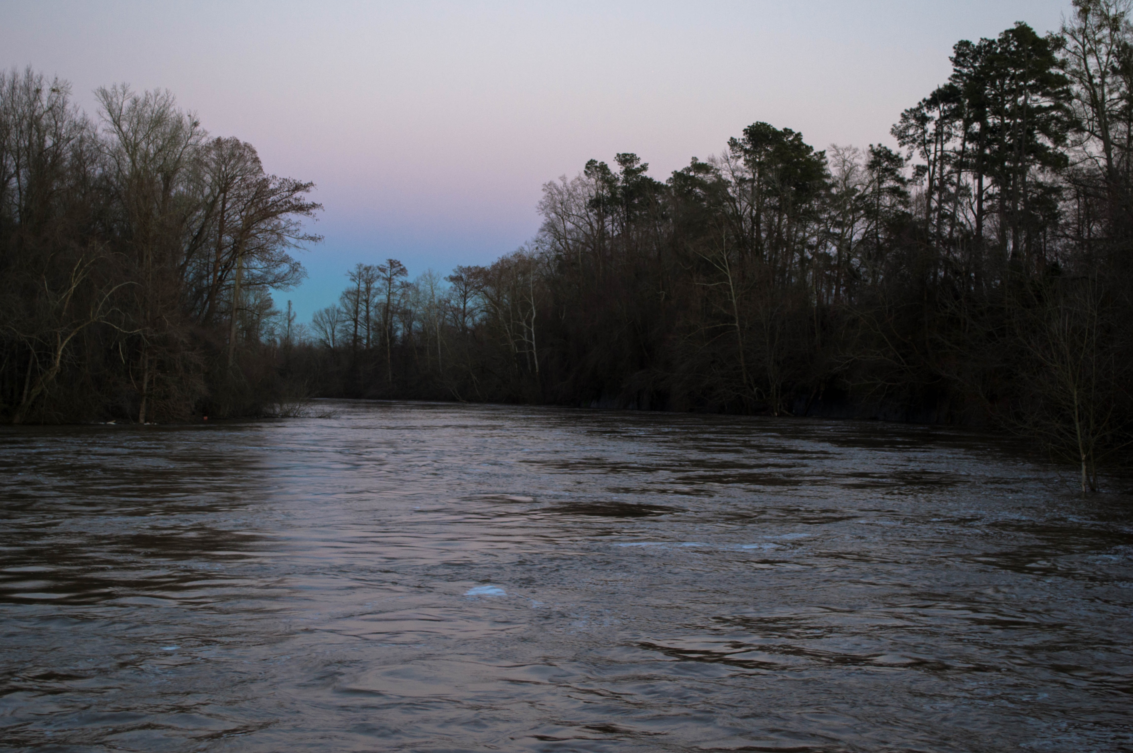
Cape Fear River
20150307-DSC_5543
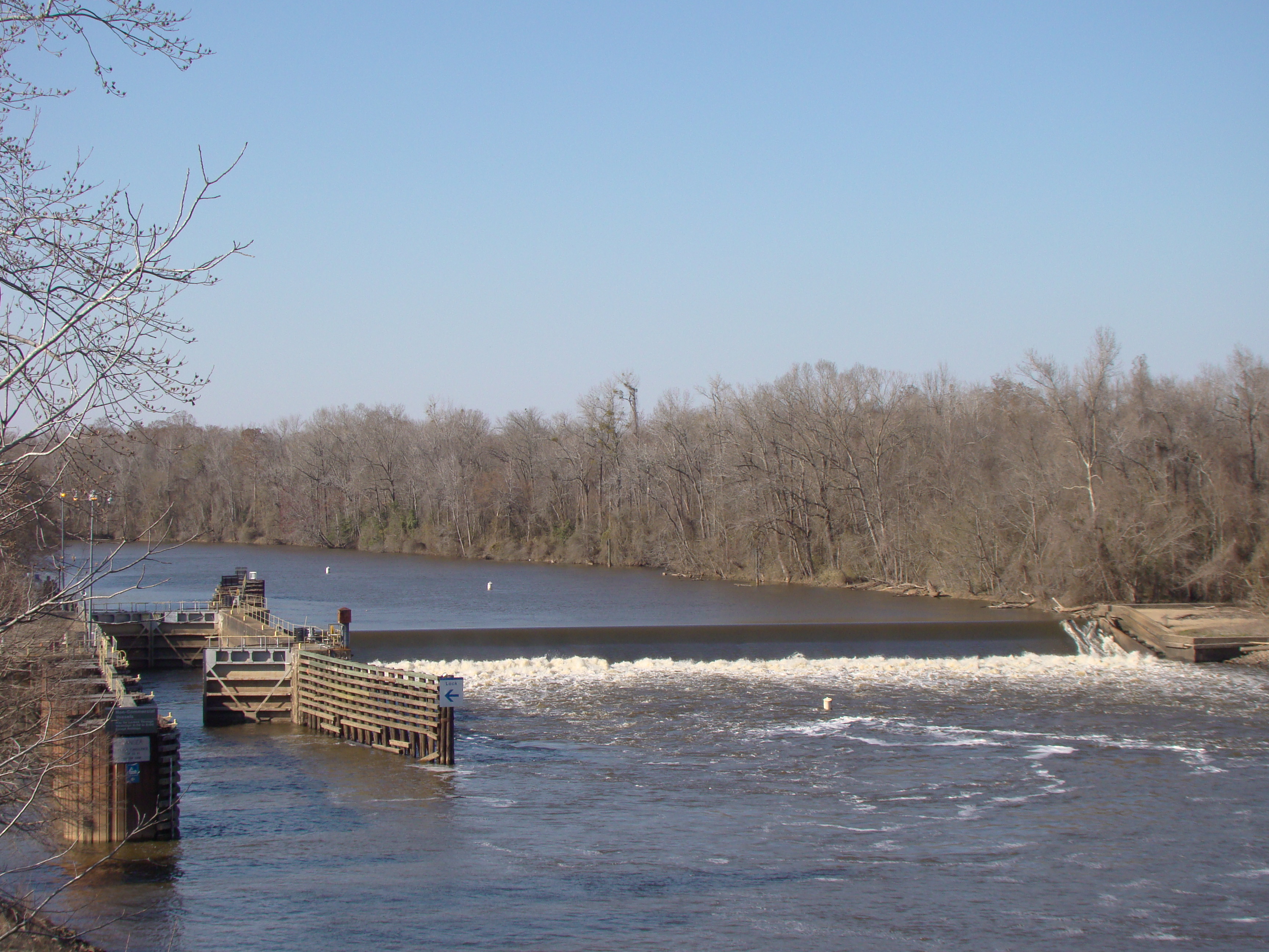
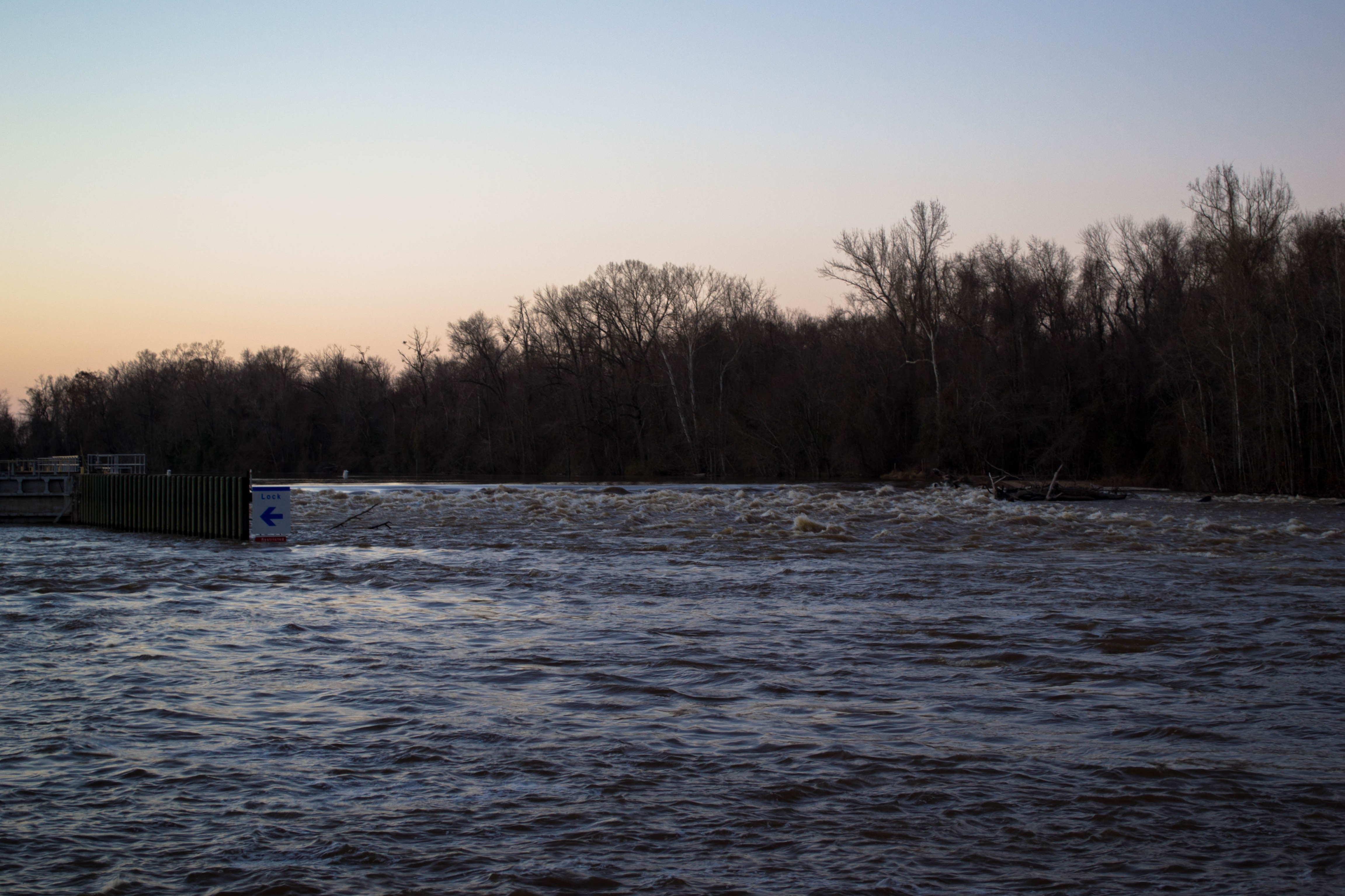
Cape Fear River Lock and Dam # 1
20150307-DSC_5540

20161001-DSC_5090

20161002-DSC_5329
LK_20140717_0038-sm
Topographic Map of Carvers Creek, NC, USA
Find elevation by address:

Places in Carvers Creek, NC, USA:
Places near Carvers Creek, NC, USA:
17503 Nc-87
2211 Jacobs Loop Rd
Council
Nc Hwy E, Council, NC, USA
583 Boggy Branch Rd
Bolton
Rosindale Rd, Council, NC, USA
Lake Waccamaw
211 White Pine Rd
Sam Potts Hwy, Hallsboro, NC, USA
Hallsboro
3815 Sam Potts Hwy
Welches Creek
1959 Whitehall Rd
1258 Red Bug Rd
John Spaulding Road
1032 Cherry Town Rd
296 Angelo Cir
505 Bentmoore Dr
306 Jefferson St
Recent Searches:
- Elevation of Corso Fratelli Cairoli, 35, Macerata MC, Italy
- Elevation of Tallevast Rd, Sarasota, FL, USA
- Elevation of 4th St E, Sonoma, CA, USA
- Elevation of Black Hollow Rd, Pennsdale, PA, USA
- Elevation of Oakland Ave, Williamsport, PA, USA
- Elevation of Pedrógão Grande, Portugal
- Elevation of Klee Dr, Martinsburg, WV, USA
- Elevation of Via Roma, Pieranica CR, Italy
- Elevation of Tavkvetili Mountain, Georgia
- Elevation of Hartfords Bluff Cir, Mt Pleasant, SC, USA