Elevation of Carter, MT, USA
Location: United States > Montana > Chouteau County >
Longitude: -110.95755
Latitude: 47.781868
Elevation: 960m / 3150feet
Barometric Pressure: 90KPa
Elevation Map:
Satellite Map:
Related Photos:

Montana Highrise

Tunis, Montana
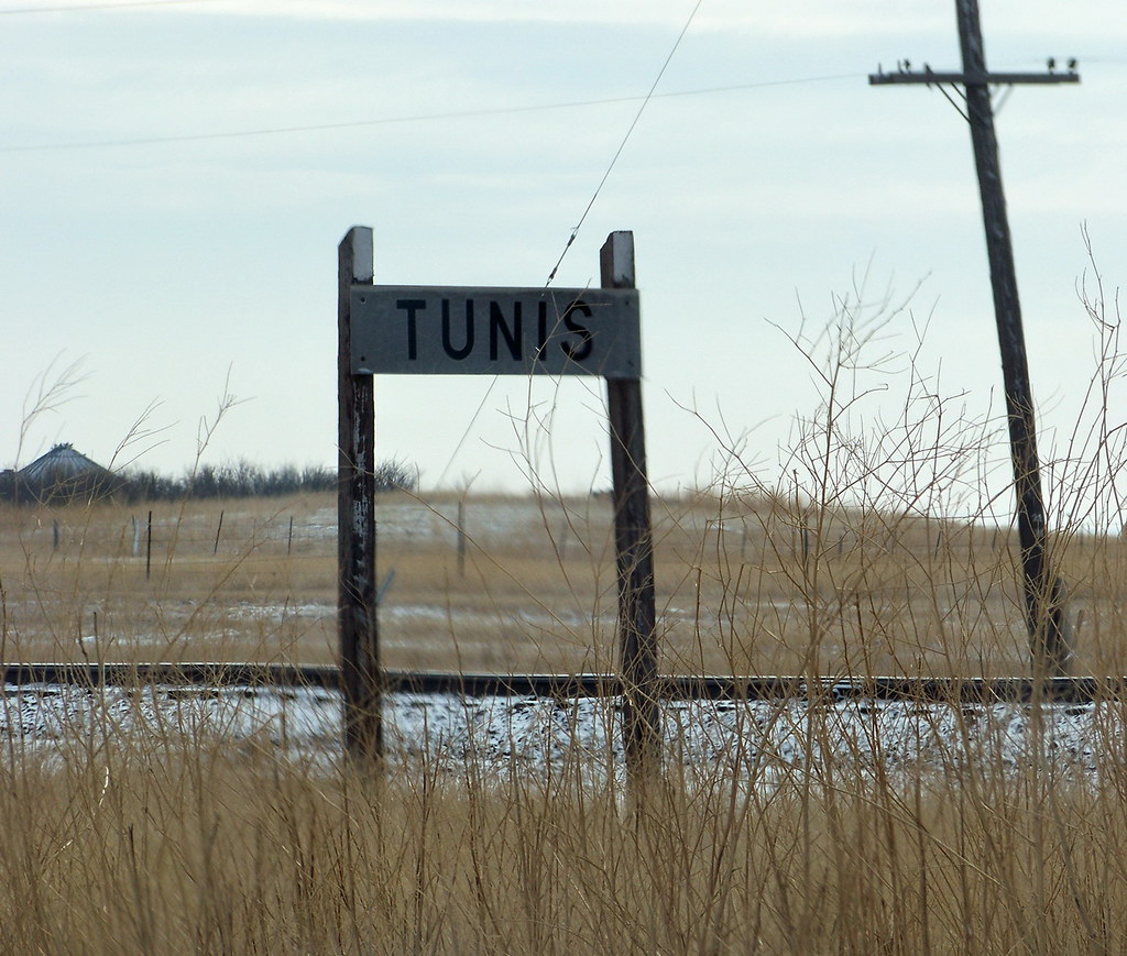
MT12c42 Tunis Railway Sign, Montana
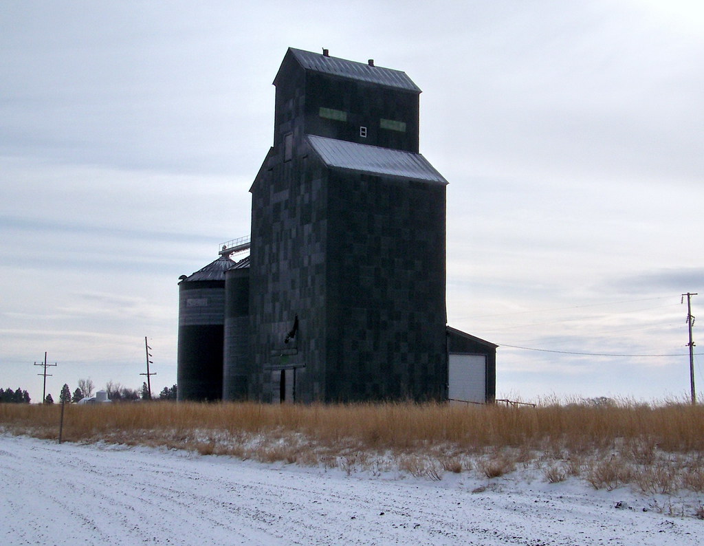
MT12c41 Tunis Grain Elevator, Montana

Missouri River Breaks
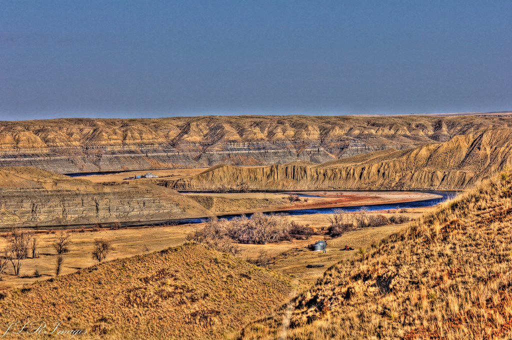
Missouri River Breaks
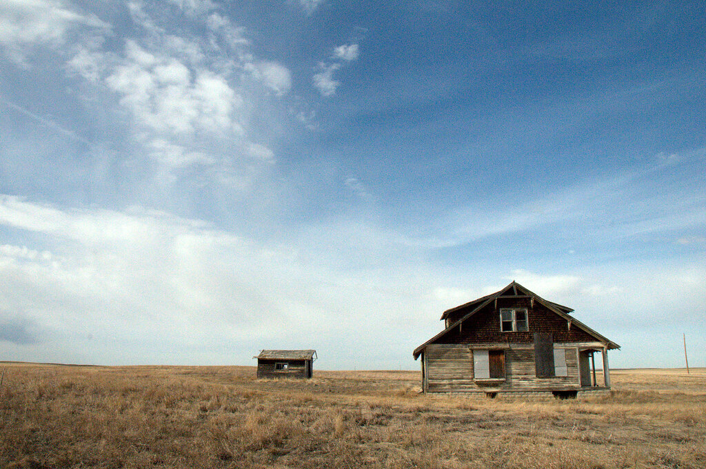
Not So Long Ago
Topographic Map of Carter, MT, USA
Find elevation by address:

Places near Carter, MT, USA:
Carter Bar
Floweree
Spud Ln, Fort Benton, MT, USA
Powerline Rd, Floweree, MT, USA
Highwood Rd, Great Falls, MT, USA
7661 Us-89
Belt
Belt Post Office
44 MT-, Belt, MT, USA
McCoy Rd, Belt, MT, USA
31 Evans Riceville Rd, Belt, MT, USA
472 Evans Riceville Rd
474 Evans Riceville Rd
Monarch Mountain
619 Main St
Neihart
Many Pines Campground
Montana 200
Montana 200
Stanford, MT, USA
Recent Searches:
- Elevation of Corso Fratelli Cairoli, 35, Macerata MC, Italy
- Elevation of Tallevast Rd, Sarasota, FL, USA
- Elevation of 4th St E, Sonoma, CA, USA
- Elevation of Black Hollow Rd, Pennsdale, PA, USA
- Elevation of Oakland Ave, Williamsport, PA, USA
- Elevation of Pedrógão Grande, Portugal
- Elevation of Klee Dr, Martinsburg, WV, USA
- Elevation of Via Roma, Pieranica CR, Italy
- Elevation of Tavkvetili Mountain, Georgia
- Elevation of Hartfords Bluff Cir, Mt Pleasant, SC, USA