Elevation map of Carter County, MT, USA
Location: United States > Montana >
Longitude: -104.37078
Latitude: 45.4522431
Elevation: 1053m / 3455feet
Barometric Pressure: 89KPa
Elevation Map:
Satellite Map:
Related Photos:
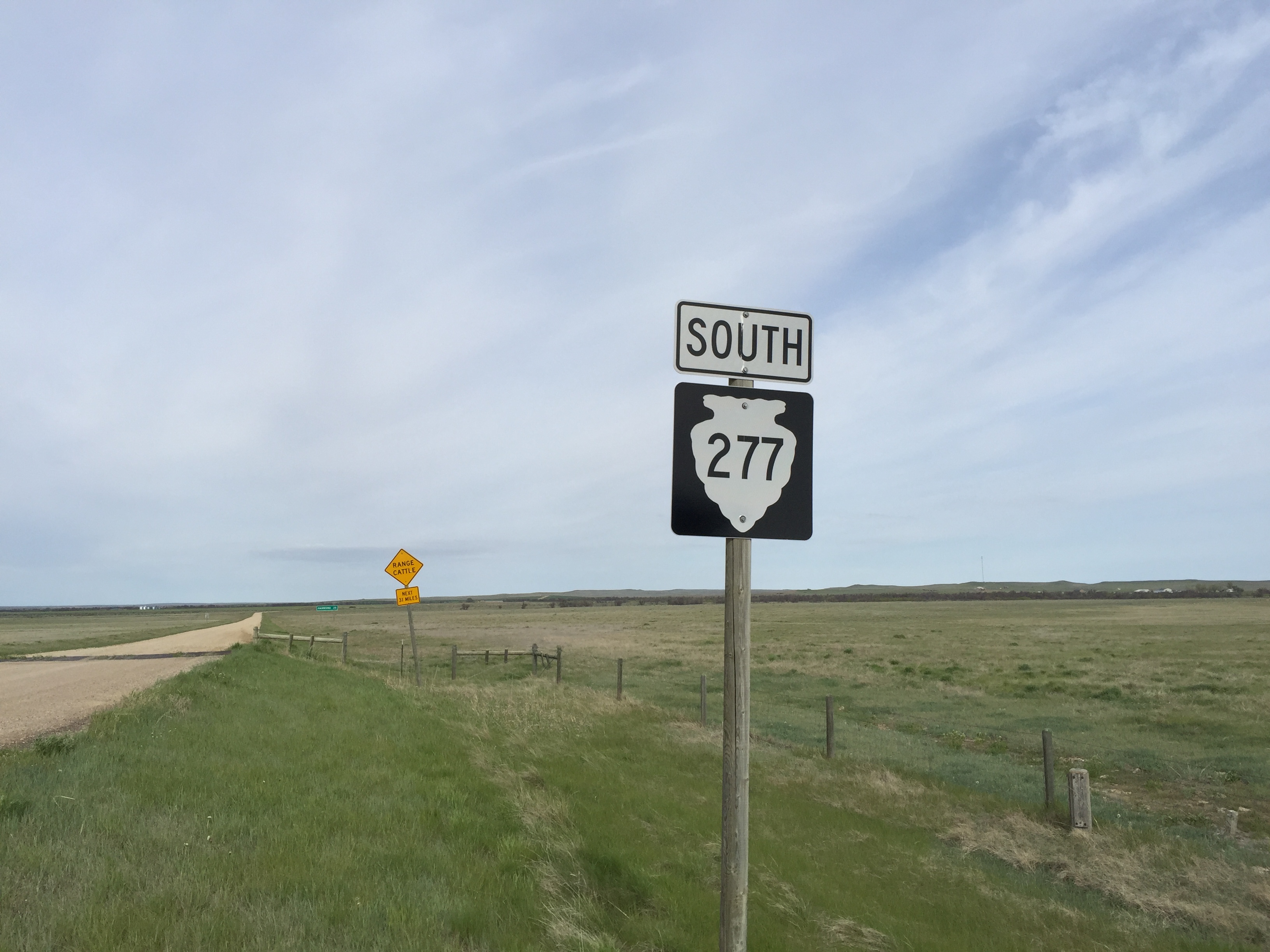
MTS-277 South - Carter County
Topographic Map of Carter County, MT, USA
Find elevation by address:

Places in Carter County, MT, USA:
Places near Carter County, MT, USA:
Recent Searches:
- Elevation of Corso Fratelli Cairoli, 35, Macerata MC, Italy
- Elevation of Tallevast Rd, Sarasota, FL, USA
- Elevation of 4th St E, Sonoma, CA, USA
- Elevation of Black Hollow Rd, Pennsdale, PA, USA
- Elevation of Oakland Ave, Williamsport, PA, USA
- Elevation of Pedrógão Grande, Portugal
- Elevation of Klee Dr, Martinsburg, WV, USA
- Elevation of Via Roma, Pieranica CR, Italy
- Elevation of Tavkvetili Mountain, Georgia
- Elevation of Hartfords Bluff Cir, Mt Pleasant, SC, USA