Elevation of Carsonville Road, Carsonville Rd, Virginia, USA

Location: United States > Virginia > Grayson County > Providence > Fries >

Longitude: -81.104244

Latitude: 36.6960769

Elevation: 783m / 2569feet

Barometric Pressure: 92KPa

Elevation Map:

elevation map of Carsonville Road, Carsonville Rd, Virginia, USA

Satellite Map:

Satellite map of Carsonville Road, Carsonville Rd, Virginia, USA

Related Photos:

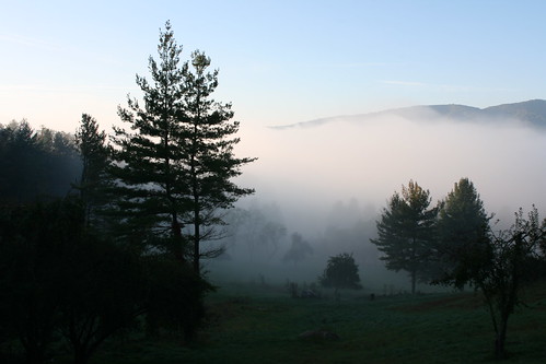
cloud sunlight mountain tree fog sunrise canon rebel virginia cabin low 24mm patchy elkcreek xti mywinners
Foggy Mountain Morning
graysonhighlandsstatepark mountain view tree landscape cloud shadow legs people plant
Mount Rogers
red food mountain bird grass metal canon rebel 50mm virginia cabin seed feeder porch elkcreek xti mywinners
Hungry Bird
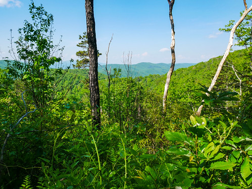
mountains virginia scenicviews jeffersonnationalforest mountrogersnationalrecreationarea comersrock
Panoramic View from Comers Rock
mountains virginia scenicviews jeffersonnationalforest mountrogersnationalrecreationarea comersrock
View from Comers Rock
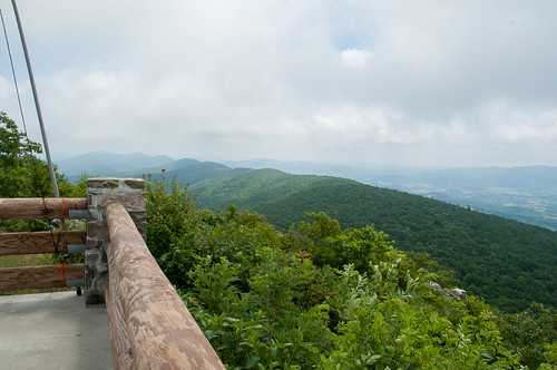
mountains virginia scenicviews jeffersonnationalforest mountrogersnationalrecreationarea comersrock
Comers Rock Overlook
virginia courthouse independence independance graysoncounty usccvagrayson
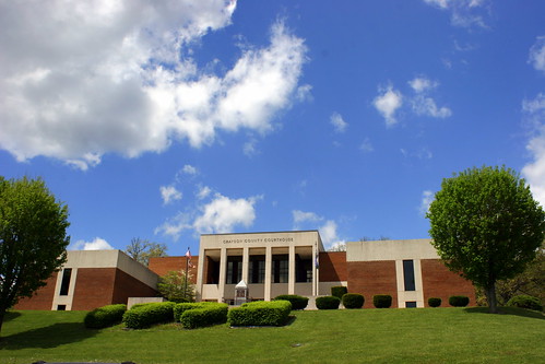
old Grayson county courthouse, Independence, VA
88doublet elecraftkx2 hardrock50 horseheaven ki4svm sota summitsontheair w4vwv022 speedwell virginia unitedstatesofamerica
W4V/WV-022 - Horse Heaven View
sota summitsontheair yaesuft817 comersrock ki4svm 88doublet hardrock50 w4vwv013
View from W4V/WV-013 - Comers Rock
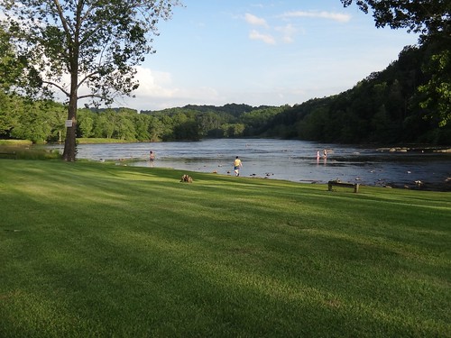
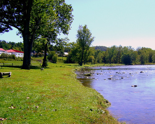
new bike river virginia path newriver rive
view from park at fries
camping campground galaxva
River views campground
camping campground galaxva
River views house
camping nature virginia newrivertrail
View from our camp
Beautiful Chestnut Creek
Powerhouse Falls
northcarolina statesigns landscapes alleghanycounty nc northamerica unitedstates us
Entering North Carolina (Alleghany County, North Carolina)
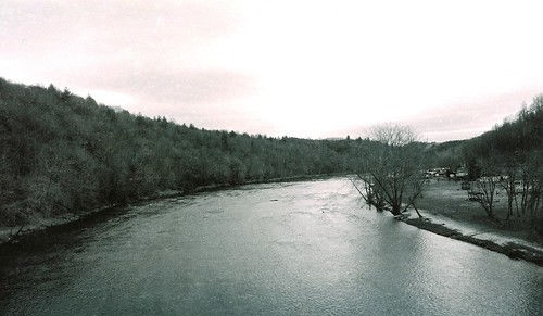
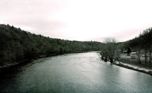
2013 film spring afternoon cloudy bridge forest travel trees outdoor nature river landscape mountains skyline sky water newriver rad20130320 woods aerial tree virginia grouped day bw blackandwhite monochrome
RAD2013.03.20.12 New River
virginia statesigns landscapes statewelcomesigns graysoncounty southwestvirginia va northamerica unitedstates us
Entering Virginia (Grayson County, Virginia)
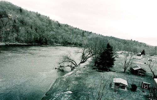
2013 film spring afternoon cloudy bridge forest travel trees outdoor nature river landscape mountains skyline sky water newriver rad20130320 woods aerial tree virginia grouped day favorited bw blackandwhite monochrome
RAD20130320.11 New River
virginia jeffersonnationalforest mountrogersnationalrecreationarea
Trail to Comers Rock
sota summitsontheair yaesuft817 comersrock ki4svm 88doublet hardrock50 w4vwv013
QTH on W4V/WV-013 - Comers Rock
square squareformat iphoneography instagramapp uploaded:by=instagram
Riverside #virginiaisforlovers #virginiabeauty #graysonco @visitvbr @visitvirginia @ig_virginia @virginianature #friesva #gopro @gopro_water @goprocinema @goprobombsquad @gopro @goprohero4giveawayss @gopro_shoots @goprouniverse @gopro_everything @goprovid
tree farm fir wholesale concolor severtstreefarm concolors wholesaleconcolorchristmas treesseverts
Concolors coming soon (a few more years)
2013 film spring afternoon cloudy bridge forest travel trees outdoor nature river landscape mountains skyline sky water newriver rad20130320 woods aerial tree virginia grouped day bw blackandwhite monochrome
RAD20130320.10 New River
horse virginia us58 jebstuarthighway
Rural Virginia 69
autumn virginia fallfoliage us58 jebstuarthighway
Rural Virginia 71
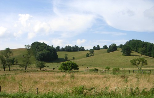
trees shadow sky field grass landscape virginia cattle cows air meadow peaceful hay colline
rolling hills and fragrant meadows
mainstreet newriver washingtoninn keithhall graysoncounty friesva washingtonmills newrivertrailstatepark
New River, Fries Va, Grayson County
virginia va courthouse independence countycourthouse 1793 graysoncounty usccvagrayson bmok
Grayson County Courthouse (New)