Elevation of Carson, VA, USA
Location: United States > Virginia > Prince George County > Templeton >
Longitude: -77.396569
Latitude: 37.0350746
Elevation: 43m / 141feet
Barometric Pressure: 101KPa
Elevation Map:
Satellite Map:
Related Photos:

Views from a plane

Grass and Pecans
Concord Downhill

Sunset Fire 3-11-11

Virginia!

1983 12-27 1358 L&N U30C-1473 S/B S Petersburg, VA
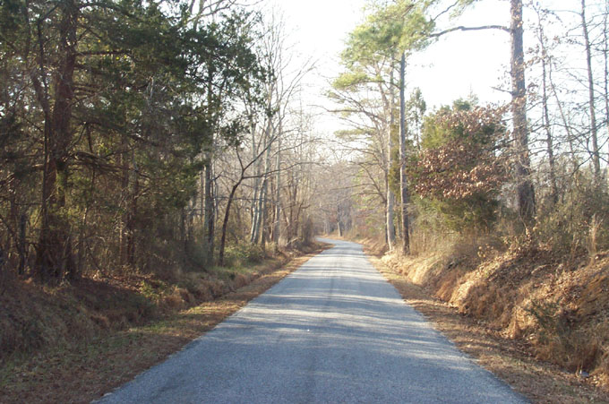
Old Playground

Second Swamp

Night shot from the countryside.

Till we meet again...

C&O Coil Car

G63005 at South Collier

S. Collier local

Fords on CSX at Collier

Canna, Dinwiddie, Virginia

Crossing the Stoney Creek

Sunset at Stoney Creek

Stony Creek double track

Blasting through Carson

Goofus's Quick Mart.

former N&W wooden caboose 583286 in Carson, Virginia
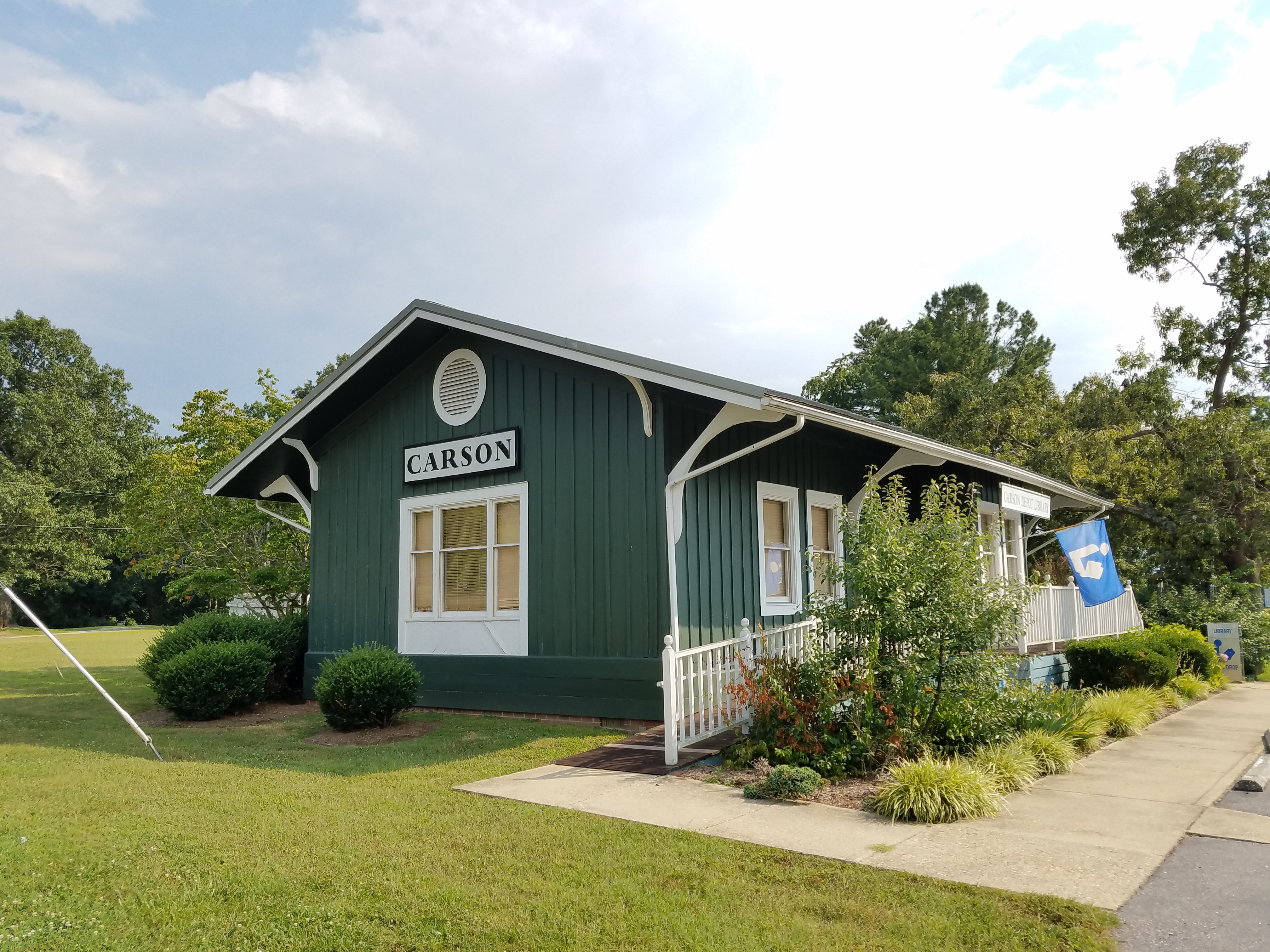
old railroad depot in Carson, Virginia

Number 1 Tires - along U.S. Route 1 in Dinwiddie

1982 08-29 1533 CHSY U30B-8228 S/B #890 on SCL S. of Petersburg, VA

10404 Blue Star Hwy, Stony Creek, VA 23882, USA DSC_0696
Topographic Map of Carson, VA, USA
Find elevation by address:

Places near Carson, VA, USA:
19710 Sioux Ln
Allstate Dr, Petersburg, VA, USA
3, VA, USA
Decatur Dr, Petersburg, VA, USA
Stony Creek
1 Kingwood, Petersburg, VA, USA
13010 S Crater Rd
11145 Vaughan Rd
4, VA, USA
Stony Creek
Rives
Squirrel Level Road
225 Spotswood Dr
Spotswood Dr, Petersburg, VA, USA
3120 Field Rd
200 Medical Park Blvd
25 Wagner Rd, Petersburg, VA, USA
7315 Duncan Rd
Oak Hill Rd, Petersburg, VA, USA
Cavalier Drive
Recent Searches:
- Elevation of Corso Fratelli Cairoli, 35, Macerata MC, Italy
- Elevation of Tallevast Rd, Sarasota, FL, USA
- Elevation of 4th St E, Sonoma, CA, USA
- Elevation of Black Hollow Rd, Pennsdale, PA, USA
- Elevation of Oakland Ave, Williamsport, PA, USA
- Elevation of Pedrógão Grande, Portugal
- Elevation of Klee Dr, Martinsburg, WV, USA
- Elevation of Via Roma, Pieranica CR, Italy
- Elevation of Tavkvetili Mountain, Georgia
- Elevation of Hartfords Bluff Cir, Mt Pleasant, SC, USA