Elevation of Carsington Water, United Kingdom

Location: United Kingdom > England >

Longitude: -1.6284514

Latitude: 53.0589612

Elevation: 199m / 653feet

Barometric Pressure: 99KPa

Elevation Map:

elevation map of Carsington Water, United Kingdom

Satellite Map:

Satellite map of Carsington Water, United Kingdom

Related Photos:

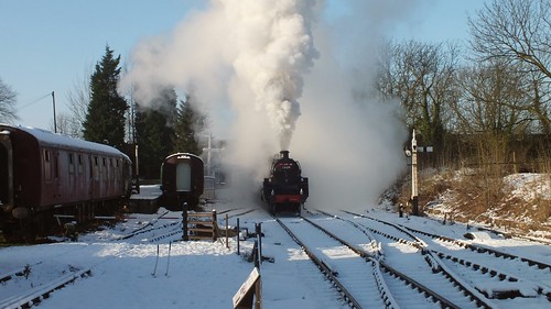
midlandrailwaycentre derbyshire trains railway steam locomotives br standardclass5 snow winter
Merry Christmas & A Happy New Year to You!! Thank you for all of the views, Faves & Comments over the past year ???? Back online after Christmas ????
landscape derbyshire whitepeak matlock matlockbath hightor giddyedge path heightsofabraham
Giddy Edge
artwork digitalart digitalpainting nationaltramwaymuseum painteffect paintedphoto painterly places textured topaz topazimpression topaztextureeffects tram transport
SL260416 National Tramway Museum 08
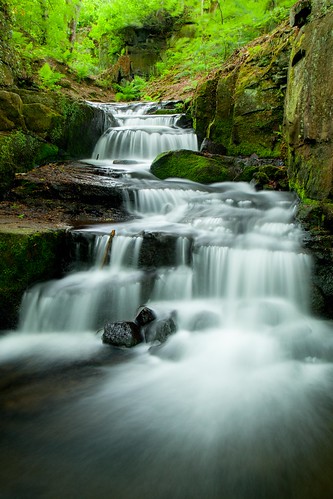
longexposure water waterfalls cascades lumsdale northderbyshire lumsdalefalls lowerlumsdale
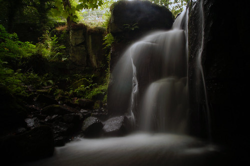
2820d The Middle Cascade
lumsdale falls matlock derbyshire england uk canon dslr 5d mkii julian barker long exposure spring greens green greeney waterfall
Lumsdale Falls on the last day of May
landscape derbyshire peakdistrict whitepeak hartington wolfscotehill limestonepavement narrowdalehill grattonhill wettonhill
Wolfscote Hill
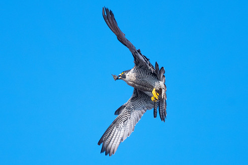
peregrine falcoperegrinus juvenile wildlife nature birdofprey wildandfree falcon spring beige brown grey blue yellow black white nikon d500 300mmpf 14xtc belper derbyshire klythawk
Up, up, and away...........
peakdistrict wolfscote hill limestone whitepeak derbyshire staffordshire narrowdalehill
Peak 170...No 42...Wolfscote hill.
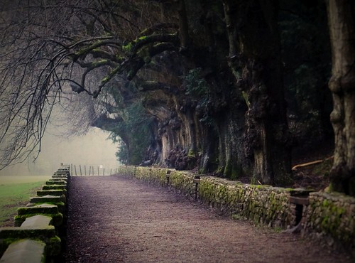
forest ilam ilampark trees winter tree woodland landscape outside outdoors countryside outdoor pov path derbyshire perspective january pointofview nationaltrust derby pathway whitepeak landscapephotography lowpov sonyhx100v january2017 winter2017 ashbourne nature peakdistrict staffordshire uk greatbritain england english unitedkingdom britain gb british eastmidlands
The Edge Of The Forest Beckons You. Jan 2017
light sky cloud mountain nature grass animal 35mm interesting nikon view sheep cloudy outdoor derbyshire scenic sharp nikkor staffordshire prespective ewe ilam primelens fixedfocallength d5200 stevemillward peakdistrictthorpe
What Ewe Looking At..
peregrine falcoperegrinus female wildlife nature spring birdofprey wildandfree sunlight red brown grey yellow blue black white nikon d500 300mmpf 14xtc eastmill belper derbyshire klythawk
On patrol.......
Derwent valley Cromford
peregrine falcoperegrinus falcon birdofprey wildlife nature spring wildandfree sunlight blue yellow grey black white nikon d500 300mmpf 14xtc belpereastmill belper derbyshire klythawk
Scraps..........
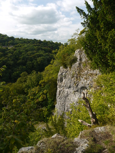
canoneos7d august summer peakdistrict peakdistrictnationalpark thenationaltrust walk trail walking outdoor england landscape britishlandscapes british stunning valley ravine woodland forest hills rocks boulders green moss mossy dovedale milldale thorpecloud riverdove staffordshire derbyshire limestone reynard’scave arch stonearch
View from the Reynard's Cave
Peak 170...No 44...Bunster hill.
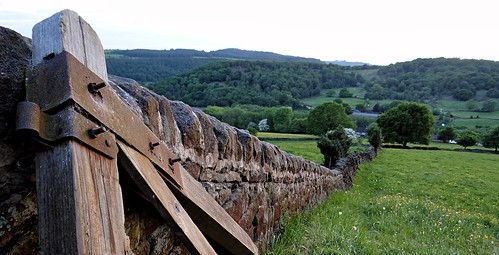
derbyshire wall perspective countryside outside landscape landscapephotography spring spring2018 springtime nature mothernature pointofview lowpov pov depthoffield dof unitedkingdom uk england english greatbritain gb britain british eastmidlands may may2018 sunset sundown sun sunrays colourful colorful green outdoor outdoors sonyhx100v tree trees woodland forest peakdistrict lea derbyshiredales peakdistrictnationalpark
Into The Countryside. May 2018
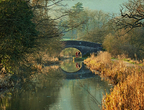
landscape waterways water canal comford derbyshire light dept field bridge woodland view scenary trees winter wild nature footpath nikon angela wilson cromford
LIGHT ON CROMFORD CANAL By Angela Wilson
summer river nationalpark derwent derbyshire peakdistrict sunny september valley derwentvalleyheritageway
High Tor
Open your eyes...
peakdistrict thorpecloud derbyshire whitepeak dovedale
Dizzying view.
derbyshire winster stantonmoor limestoneway
Across to Stanton moor.
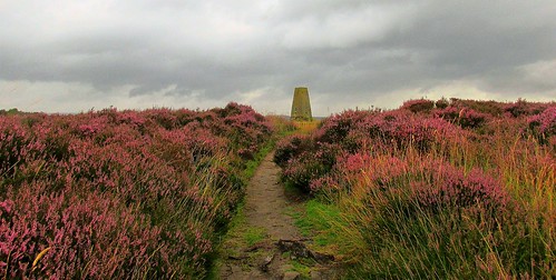
stantonmoor peakdistrict derbyshire trig
100 Peak tops...No 10...Stanton moor.
hightor derbyshire matlock ribercastle
The walk was nice but the weather was poor.
ngc npc lumsdale coth5
Rolling and tumbling
nikon naturephotography naturalphotography national naturalworld nationalpark nature iamnikon d7200 derbyshire dovedale hartington milldale path light landscapes lightroom water reflection sky vivid scenicsnotjustlandscapes tokina tokina1120mmatx trees tracks hills
early light
The gate
national naturalphotography naturephotography cloudscape clouds nikon d7200 tokina tokina1120mmatx tokin 1120mmproatx11 1120mm wideangle ultrawide peakdistrict hartington milldale countryside scenicsnotjustlandscapes landscapes ngc
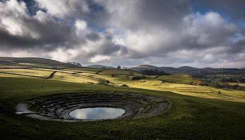
Watering hole
nikon d7200 tokina1120mmatx tokina 1116mmf8 1116mm 1120mmproatx11 1120mmproatx peakdistrict derbyshire dovedale countryside green
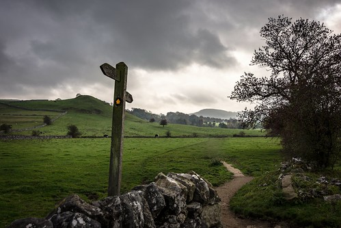
It's a sign
waterfall derbyshire falls matlock lumsdale
LUMSDALE 1
longexposure autumn water seasons derbyshire waterfalls cascades lumsdale northderbyshire lumsdalefalls lowerlumsdale
9100 Lumsdale In Autumn
longexposure june waterfall tripod falls nd plus grad matlock 2470mm polariser lumsdale nikond800 longwalkbutworthit
Wide Awake
nikon d7200 tokina1120mmatx tokina 1120mmproatx11 1120mmproatx 1120prodx wideangle ultrawide superwide green tree peakdistrict dovedale wall stonewall staffordshire scenicsnotjustlandscapes england uk landscapes
On the other side
longexposure autumn water leaves rocks derbyshire waterfalls cascades lumsdale
2810 - Going with the flow
national naturalphotography nikon d7200 wideangle ultrawide dovedale hartington milldale tokina tokina1120mmatx 1120mmproatx11 1120mmproatx 1120prodx countryside scenicsnotjustlandscapes landscapes peakdistrict derbyshire
rock face
cratclifferocks derbyshire unlimitedphotos green moss outdoor paths photoborder rocks trees
At Cratcliffe rocks
landscape derbyshire peakdistrict whitepeak elton anthonyhill dudwood cloudscape clouds cirrus blackwhite monochrome
Cirrus Clouds