Elevation of Carrollton, MS, USA
Location: United States > Mississippi > Carroll County >
Longitude: -89.920360
Latitude: 33.5081773
Elevation: 87m / 285feet
Barometric Pressure: 100KPa
Elevation Map:
Satellite Map:
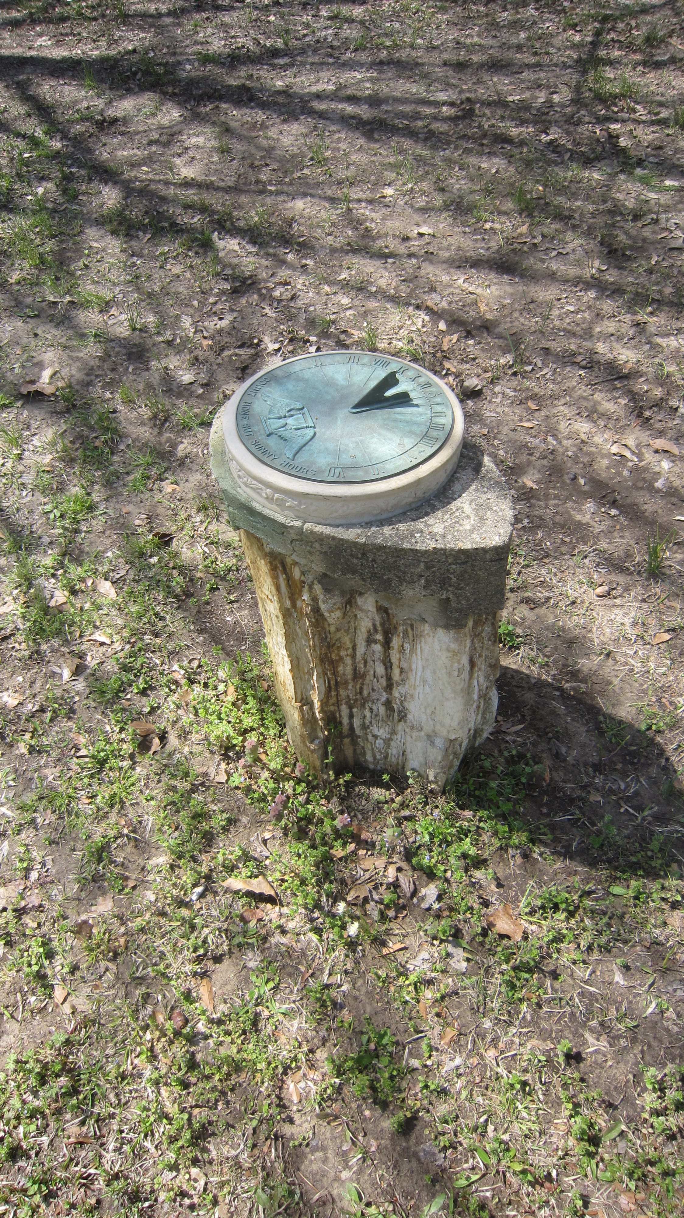
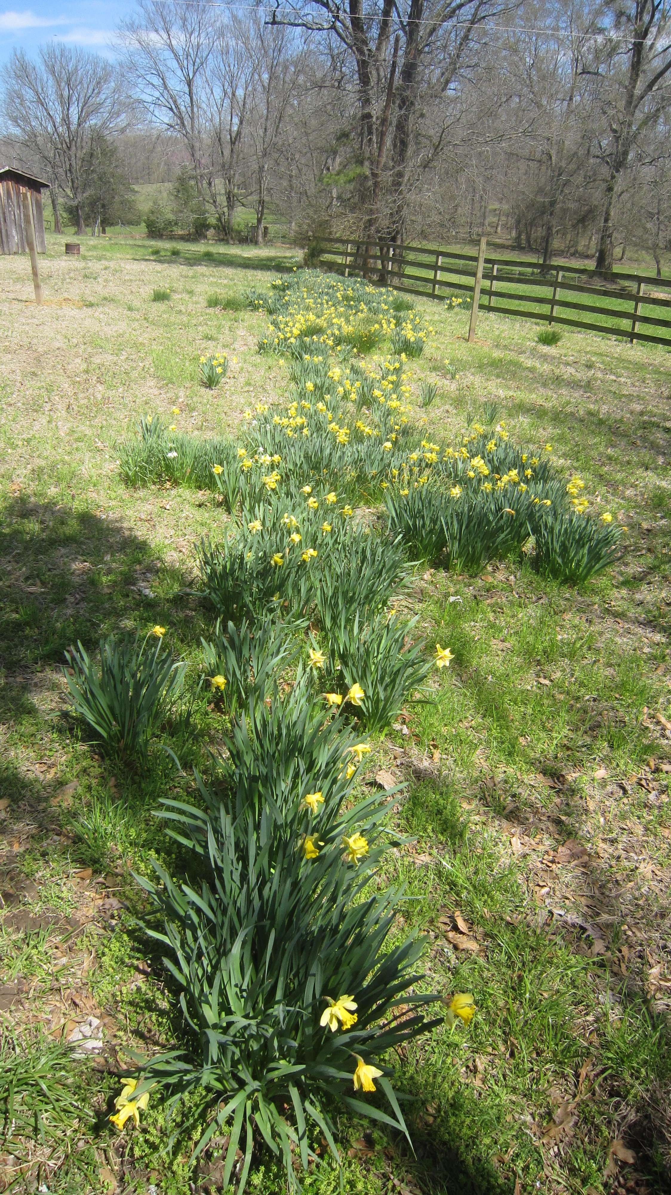
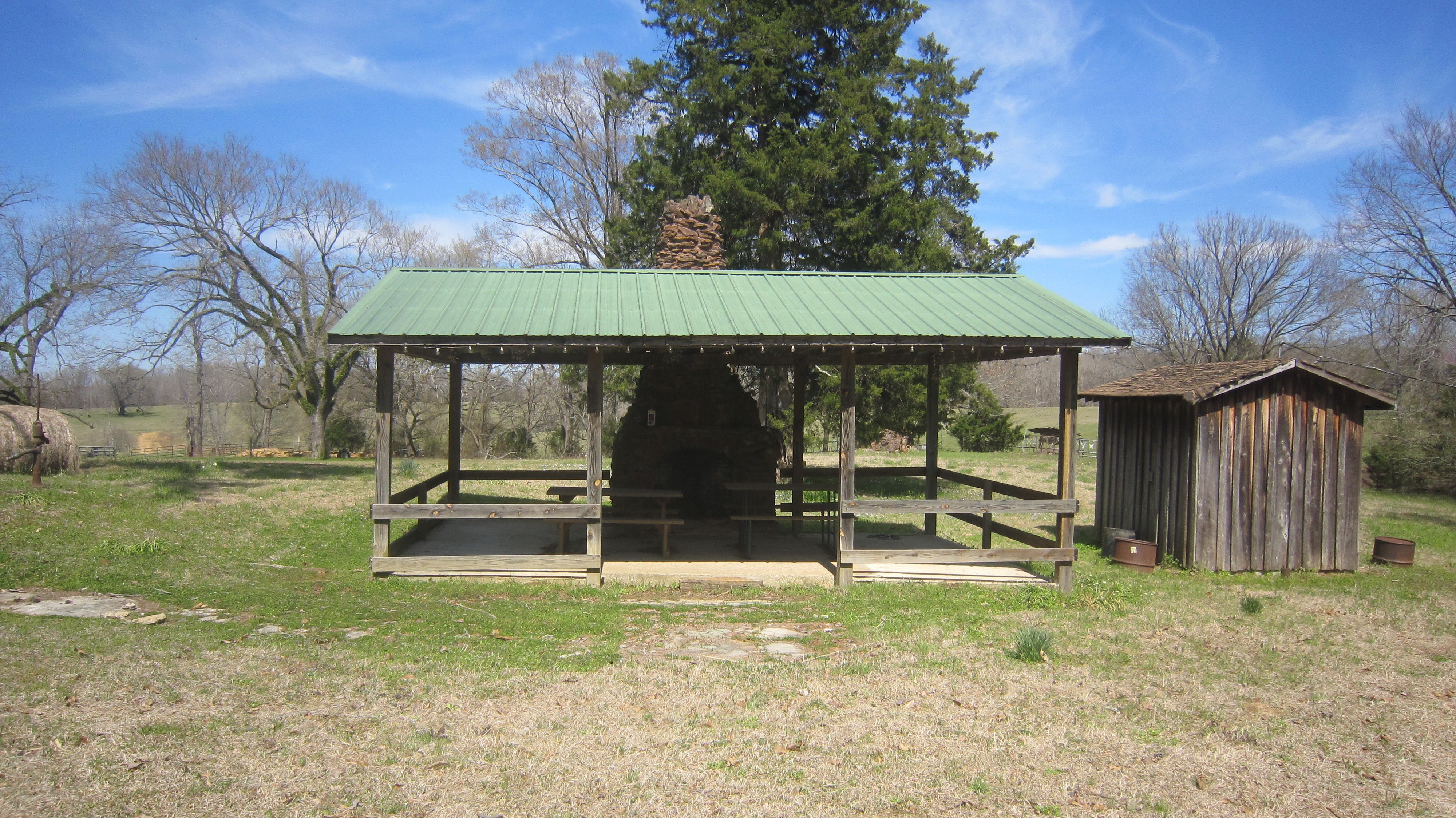
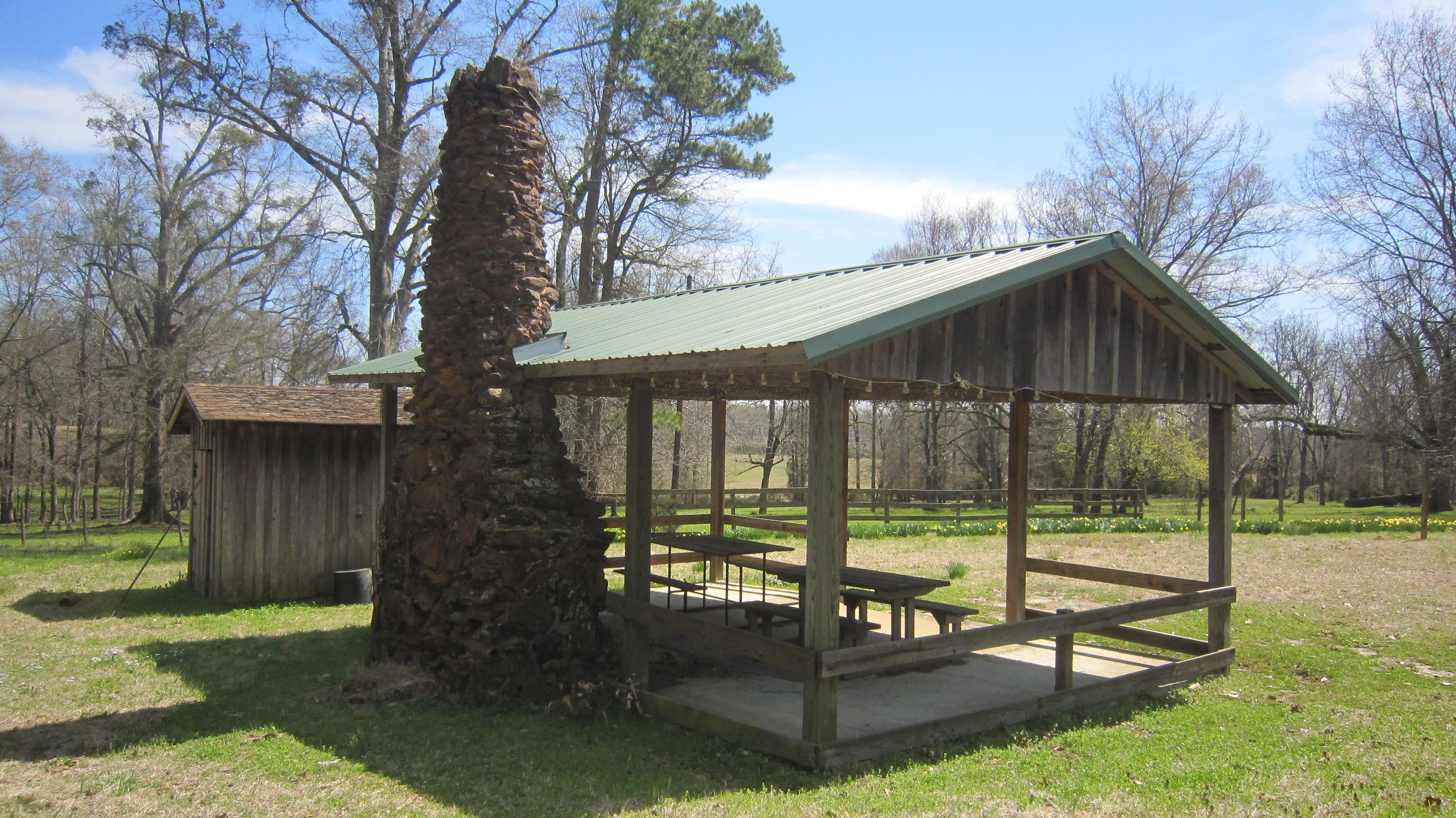
Related Photos:
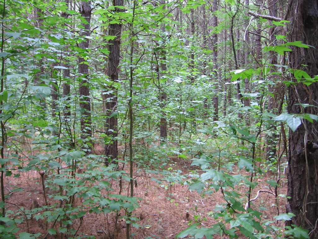
American Sweetgum
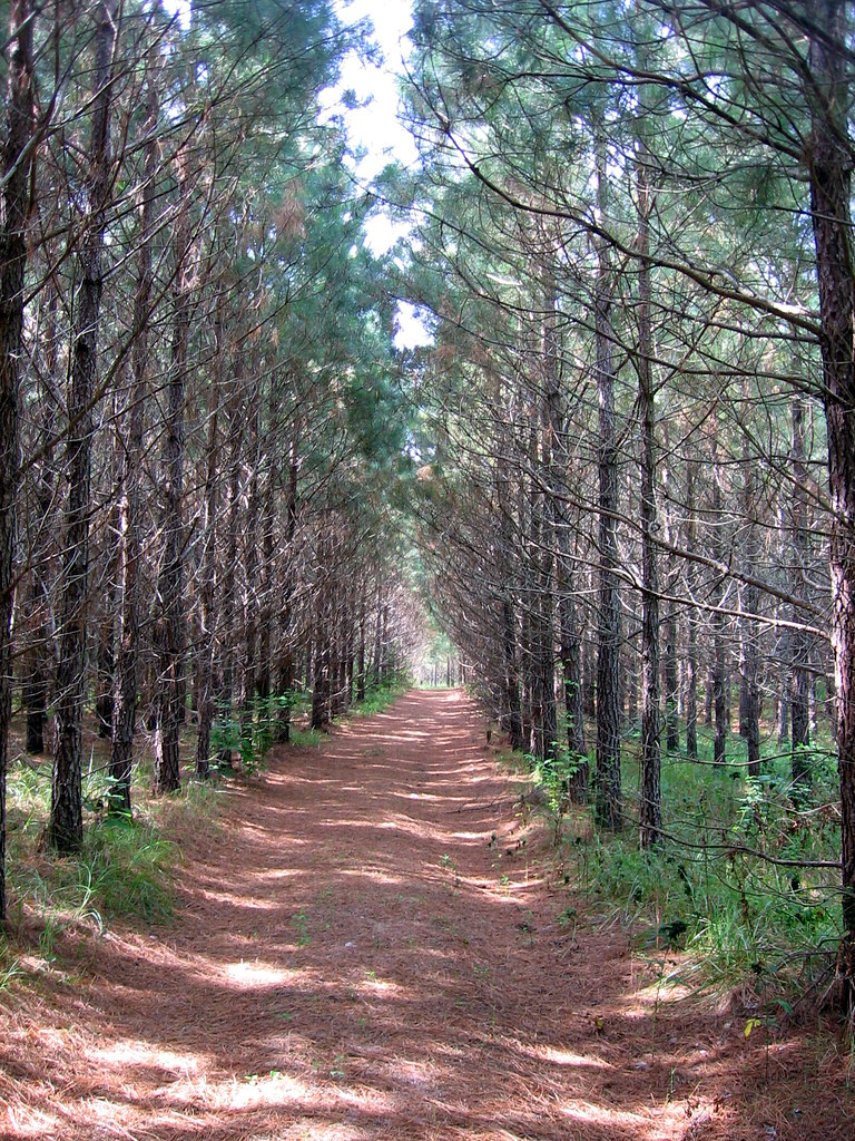
Tree Farming Loblolly Pine
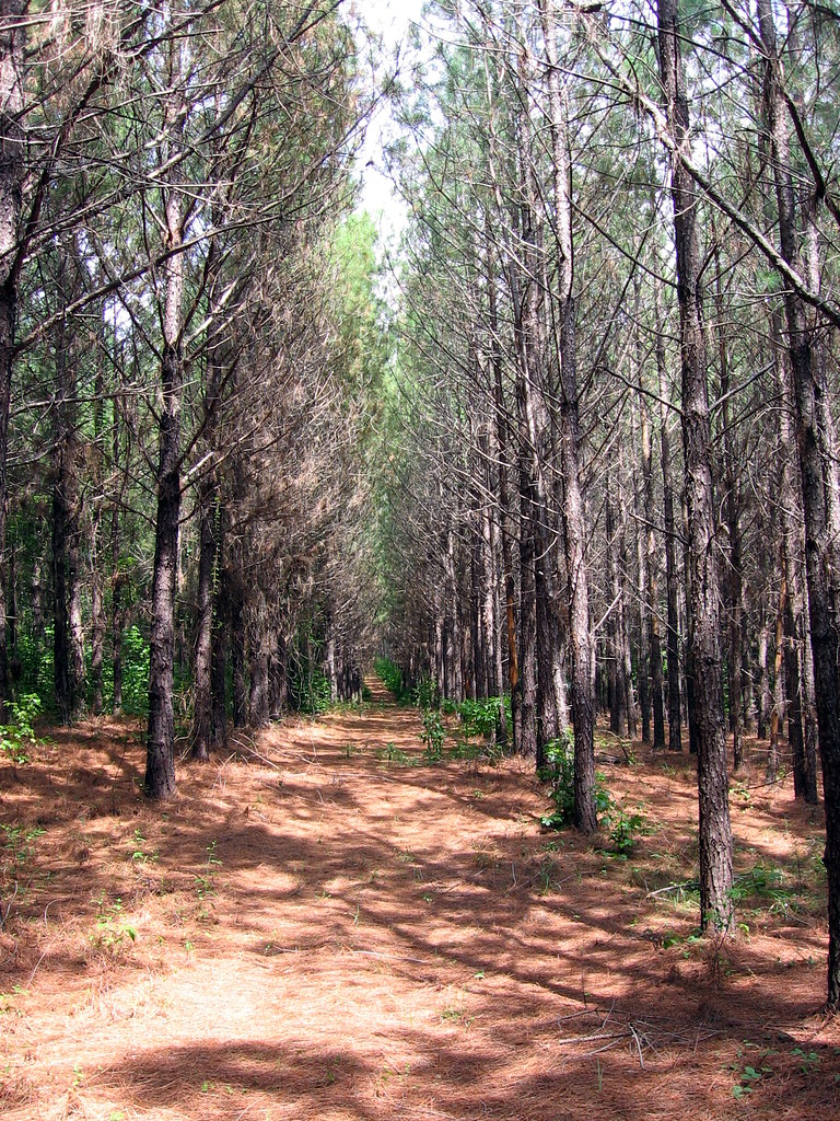
Loblolly Pine

Corsair F4U-5N fighter plane
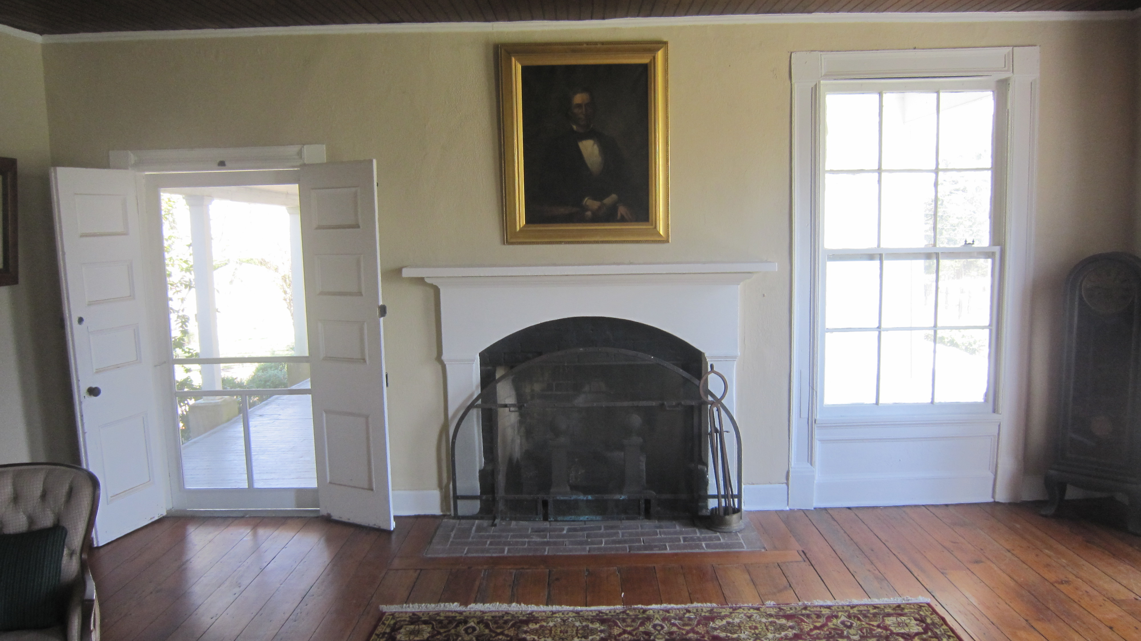
Coteworth Inside
Cotesworth Library 18

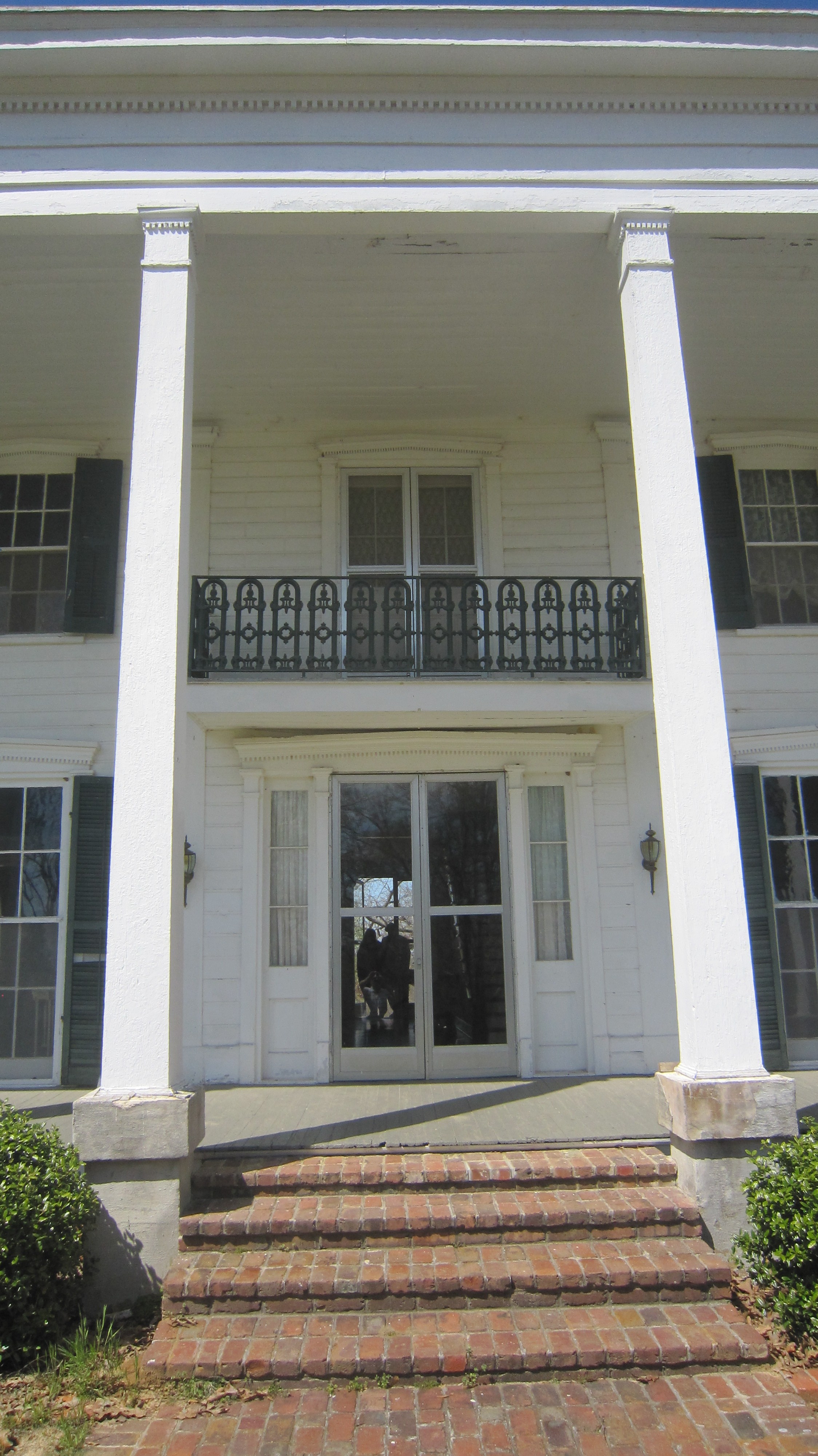
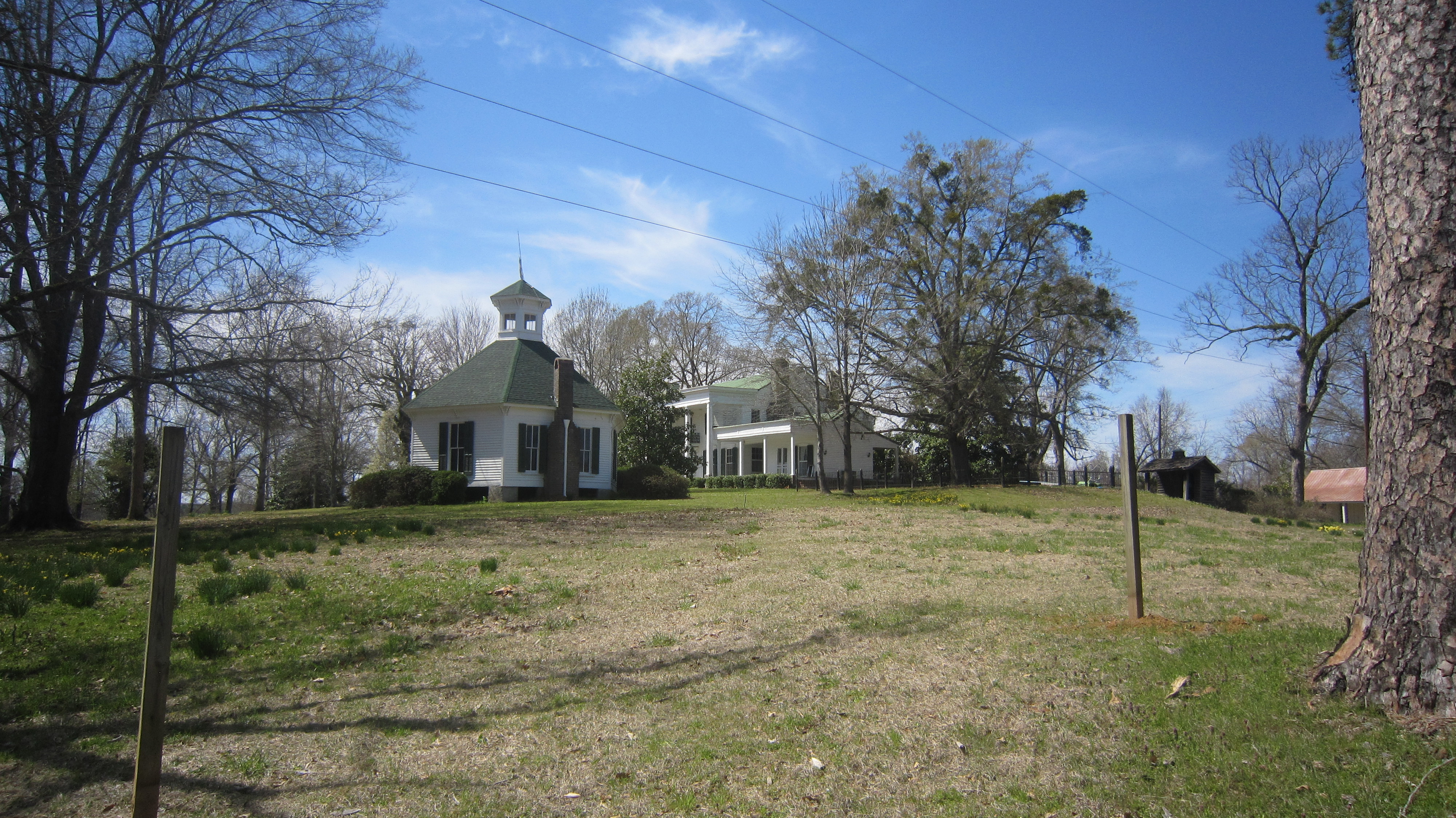
Cotesworth 2
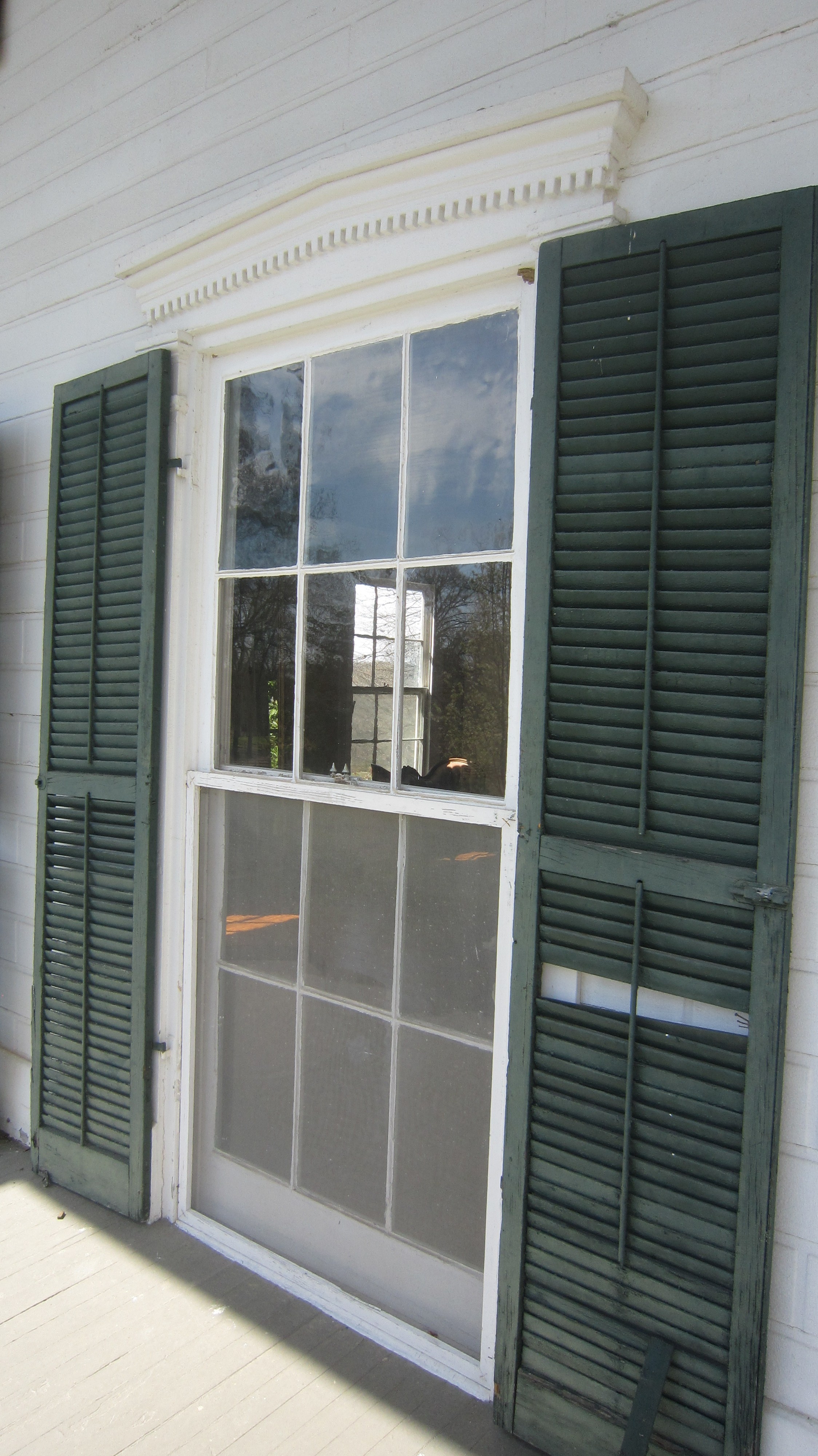
Cotesworth 4
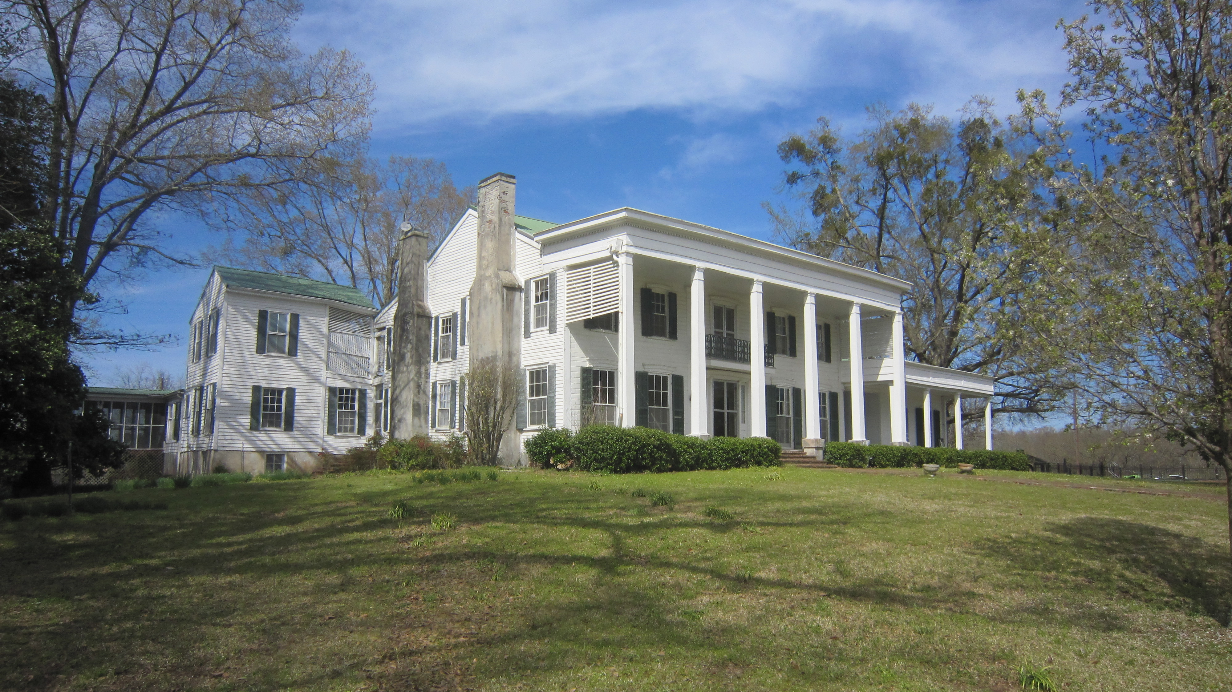
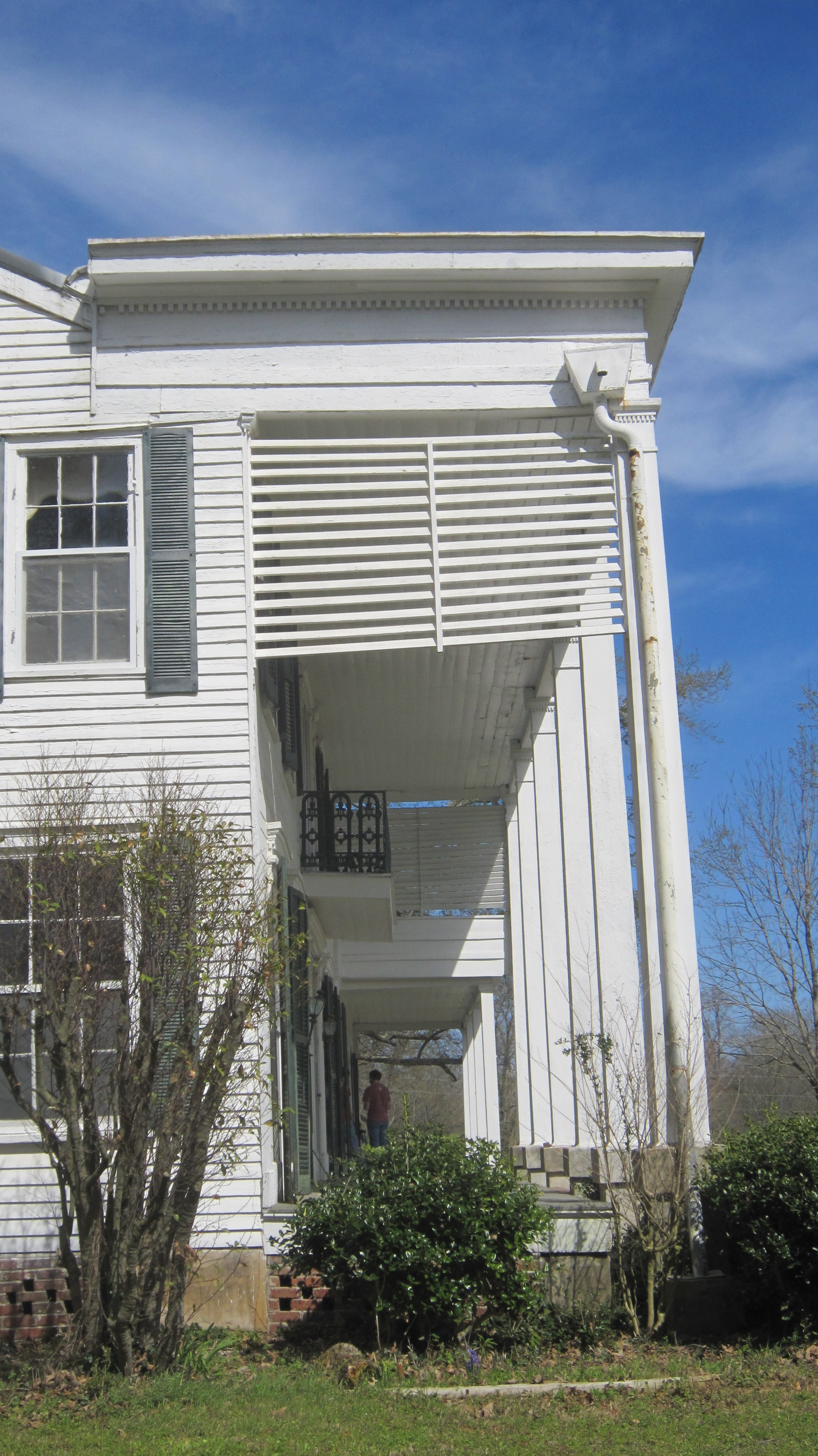
Cotesworth 5
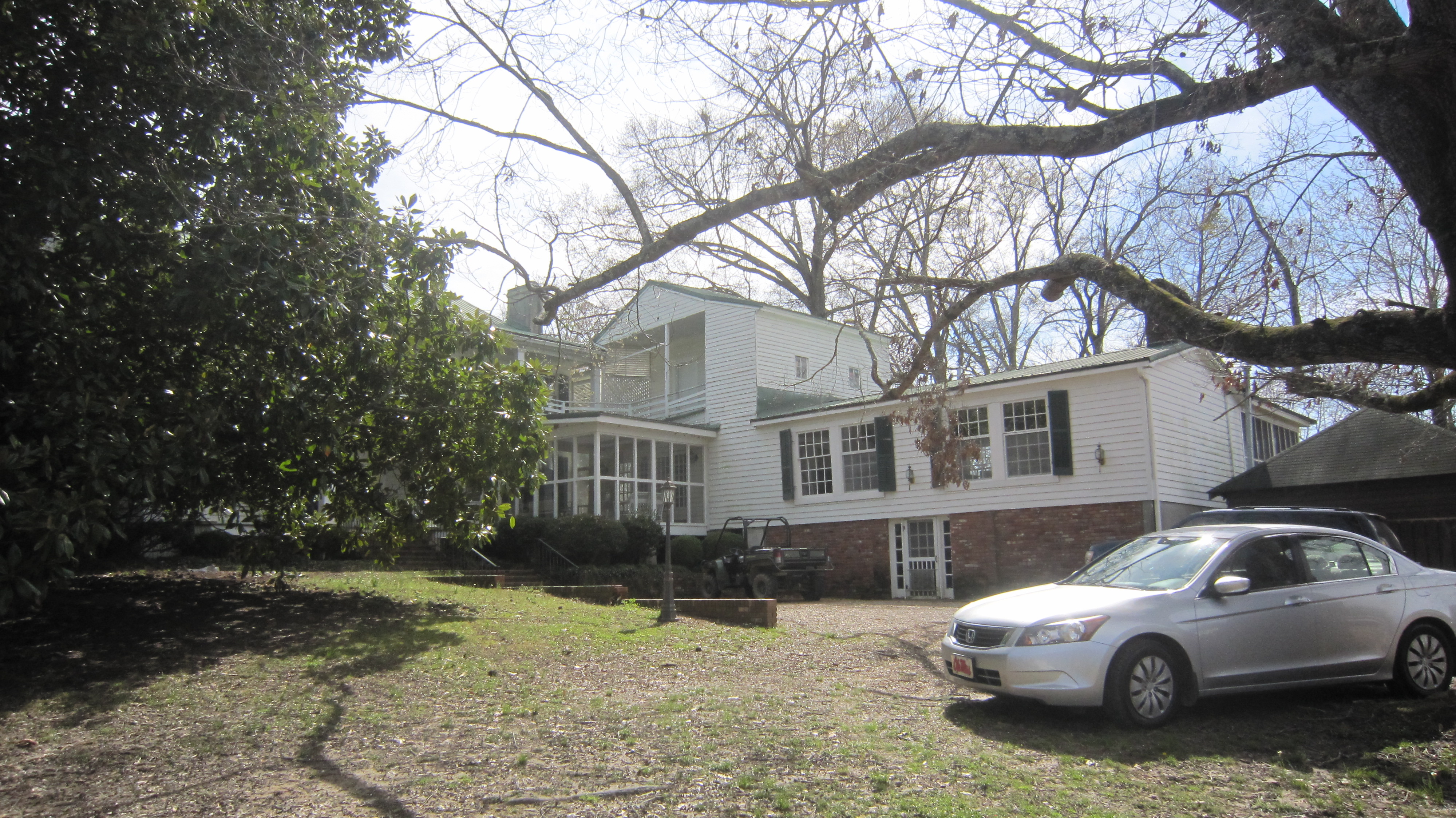
Cotesworth 6

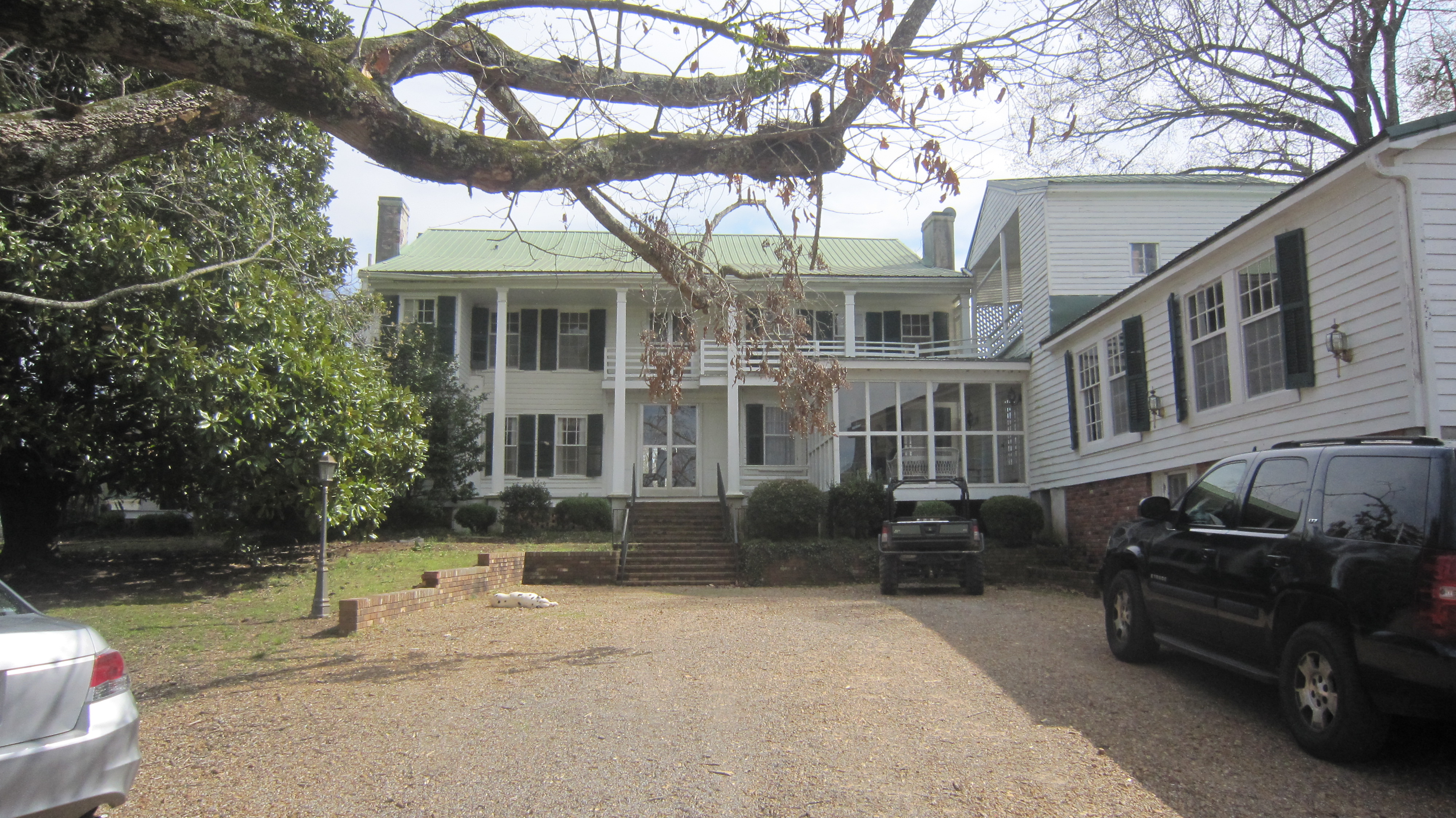
Cotesworth 7
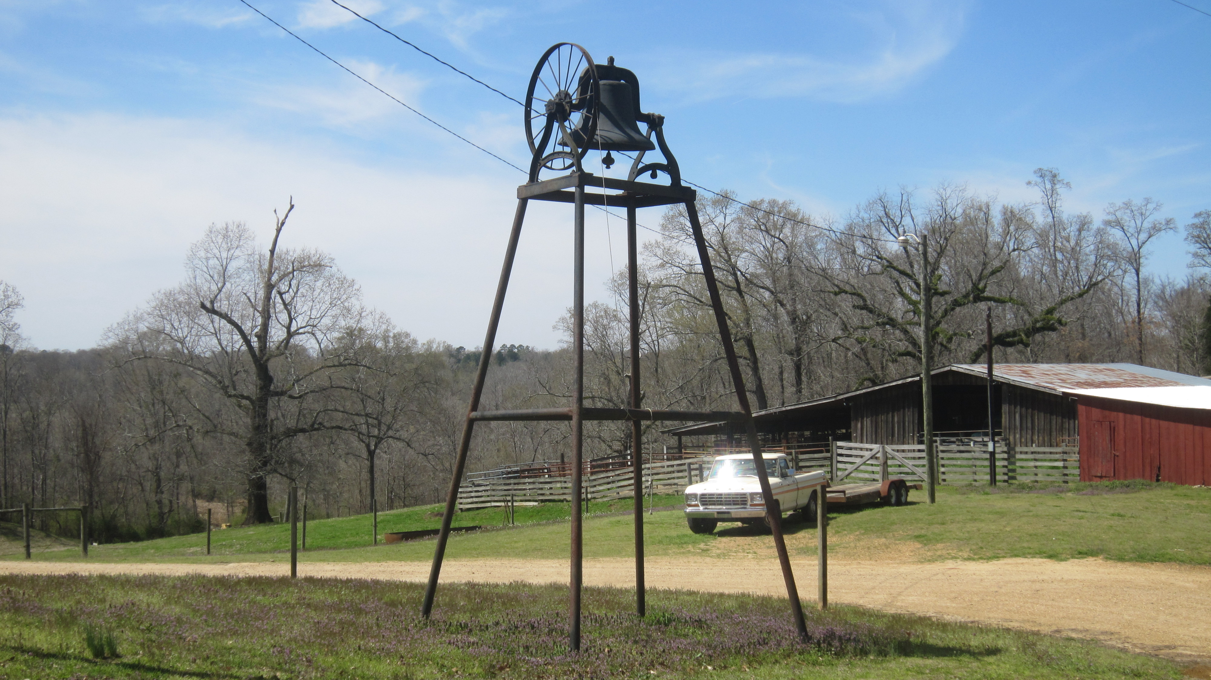
Cotesworth 8

Cotesworth 9
Cotesworth 11
Cotesworth 12
Cotesworth 13
Cotesworth 14
Cotesworth 15
Cotesworth 16
Cotesworth 17
Cotesworth 19

Cotesworth 20
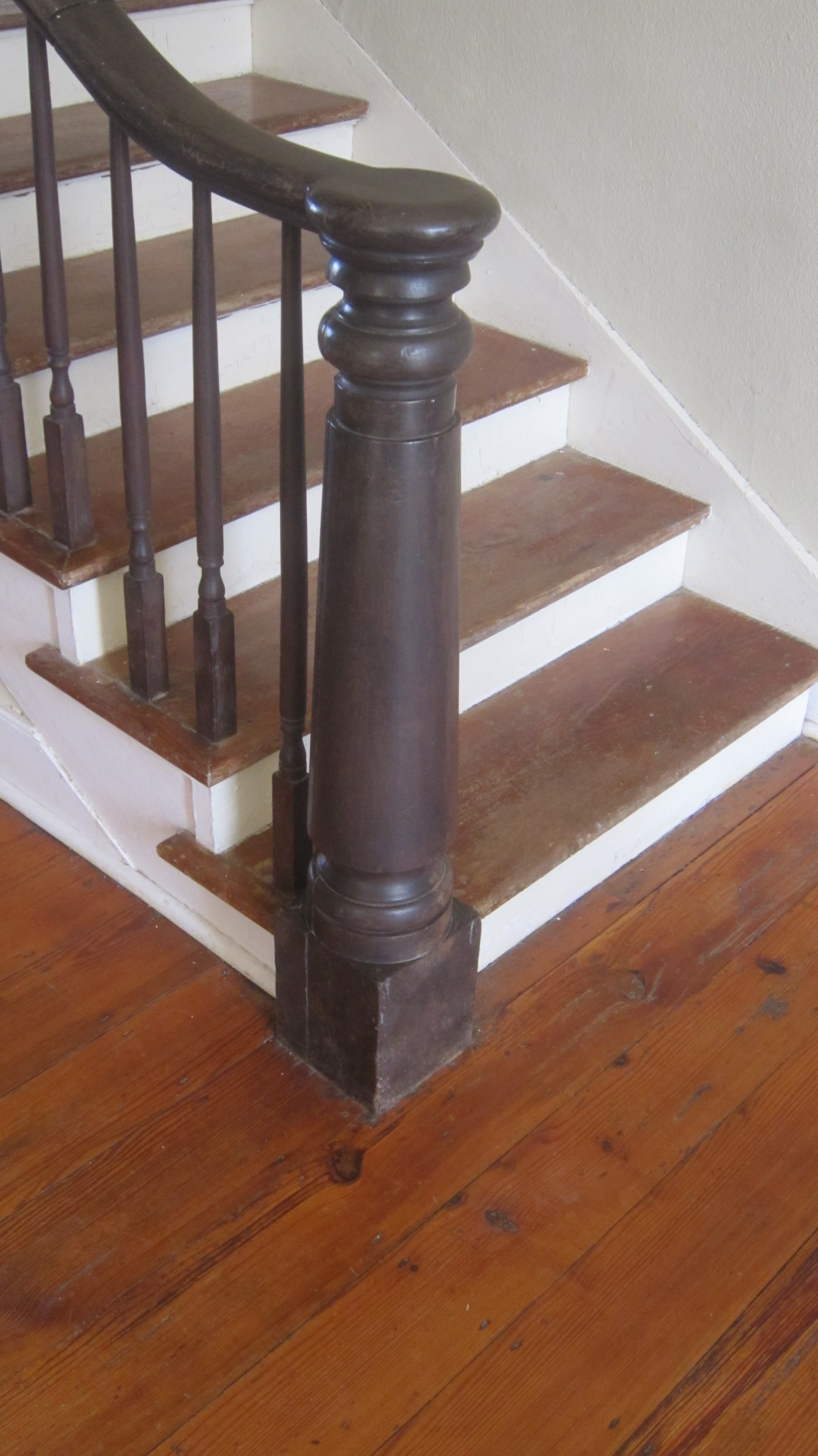
Cotesworth Inside 3
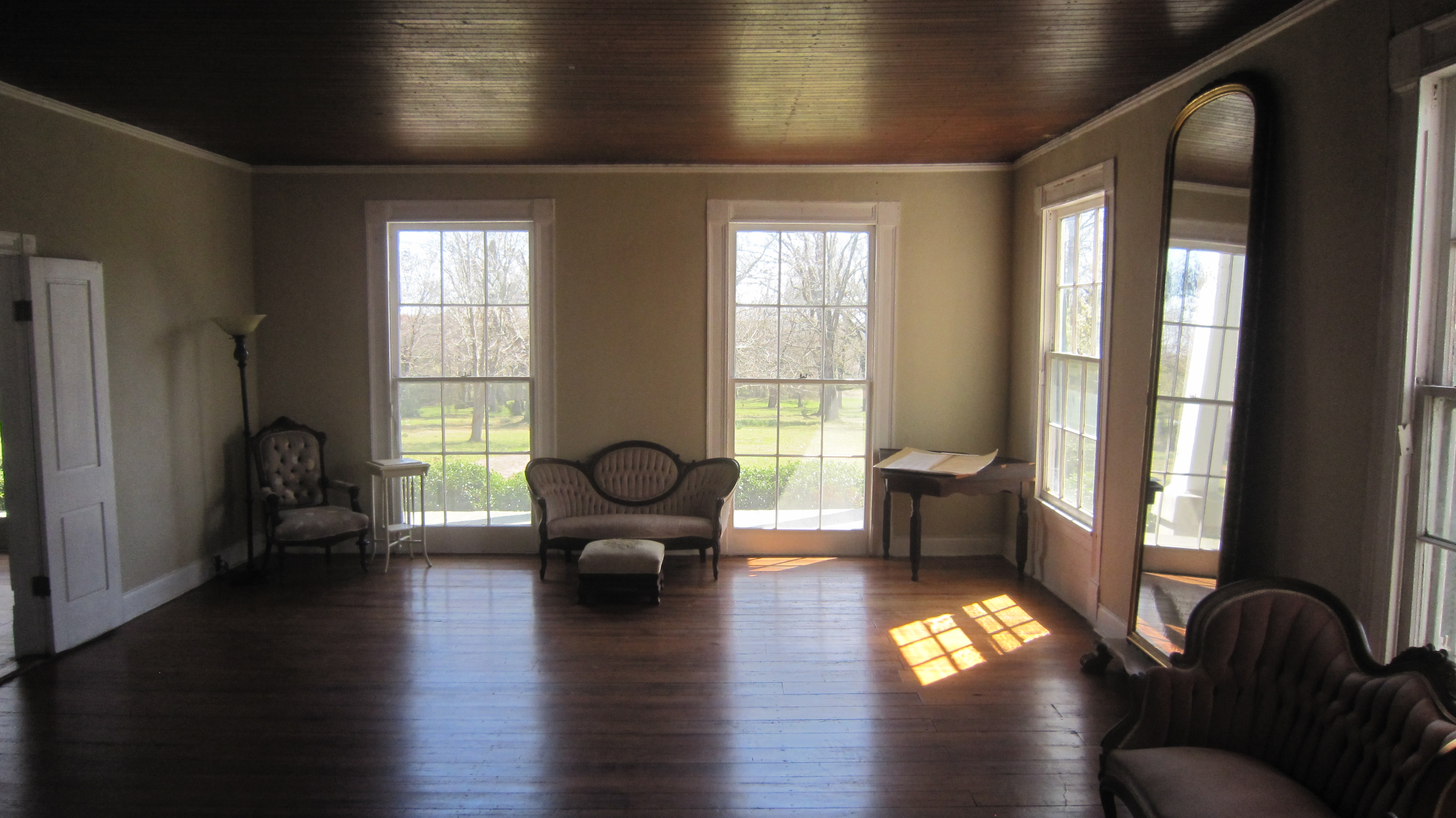
Cotesworth Inside 4
Topographic Map of Carrollton, MS, USA
Find elevation by address:

Places in Carrollton, MS, USA:
Places near Carrollton, MS, USA:
Carroll County
Mccarley
County Road 83
Co Rd, Carrollton, MS, USA
513 S Applegate St
Winona
110 S Front St
Duck Hill
Elliott
Camp McCain Rd, Grenada, MS, USA
Vaiden
Front St, Vaiden, MS, USA
3984 Us-51
Montgomery County
Lodi Rd, Winona, MS, USA
Kilmichael
Gordon Rd, Duck Hill, MS, USA
364 Poplar Creek Rd
19421 Us-51
MS-, Kilmichael, MS, USA
Recent Searches:
- Elevation of Corso Fratelli Cairoli, 35, Macerata MC, Italy
- Elevation of Tallevast Rd, Sarasota, FL, USA
- Elevation of 4th St E, Sonoma, CA, USA
- Elevation of Black Hollow Rd, Pennsdale, PA, USA
- Elevation of Oakland Ave, Williamsport, PA, USA
- Elevation of Pedrógão Grande, Portugal
- Elevation of Klee Dr, Martinsburg, WV, USA
- Elevation of Via Roma, Pieranica CR, Italy
- Elevation of Tavkvetili Mountain, Georgia
- Elevation of Hartfords Bluff Cir, Mt Pleasant, SC, USA