Elevation of Carr Township, IN, USA

Location: United States > Indiana > Jackson County >

Longitude: -86.195516

Latitude: 38.8215176

Elevation: 188m / 617feet

Barometric Pressure: 99KPa

Elevation Map:

elevation map of Carr Township, IN, USA
Satellite Map:

Satellite map of Carr Township, IN, USA
Related Photos:

Luna Moth_MG_8030_1
red house snow tree fence snowman iron indiana snowmen 100views tistheseason selectivecoloring lawrencecounty tunnelton 12406 winter2007 ysplix tunneltonroad
Security...
indiana ewing ias jacksoncounty snowgoose chencaerulescens ewingbottoms
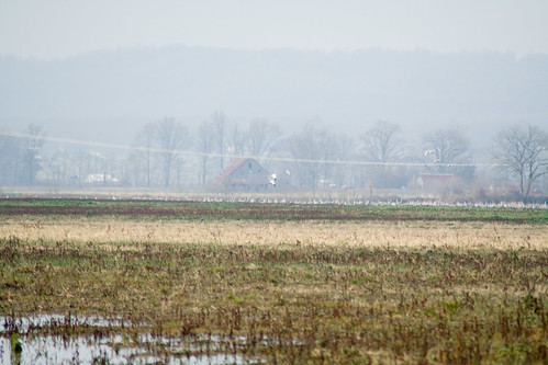
SNOW GEESE over EWING BOTTOMS, INDIANA
saved bridge autumn fall river closed indiana whiteriver oldbridge jacksoncounty eastfork vallonia dschx1
Old Bridge
old abandoned closed indiana kiln medora jacksoncounty brickfactory medorabrickfactory medorablock
Brick Kiln
indiana ewing sandhillcrane gruscanadensis ewingbottoms
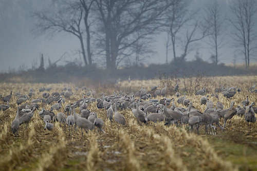
SANDHILL CRANES
indiana ewing sandhillcrane banded ias jacksoncounty gruscanadensis ewingbottoms
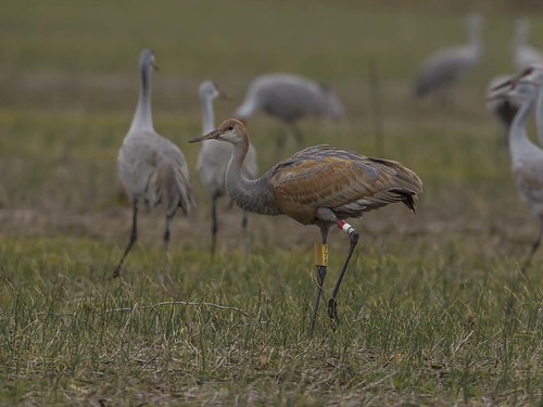
SANDHILL CRANE - BANDED JUVENILE
brick indiana fancy mansion lawrencecounty tunnelton 12406 tunneltonroad guthriehouse
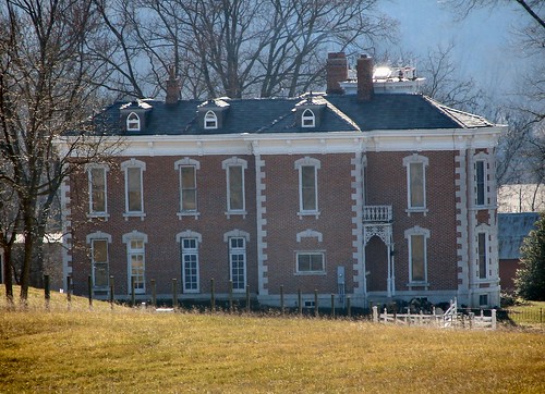
Side View
county red sky panorama color tree fall nature leaves america forest wonder landscape gold golden midwest treasure sony hill harvest peaceful indiana southernindiana northamerica stitched jacksoncounty stitchedpanorama inspiredbylove ingreen natureslittlewonder dschx1 ©pauldseigle leafcam
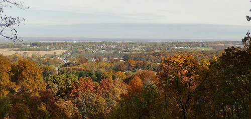
Fall Panorama
indiana ewing sandhillcrane gruscanadensis ewingbottoms
SANDHILL CRANES
indiana ewing sandhillcrane gruscanadensis ewingbottoms
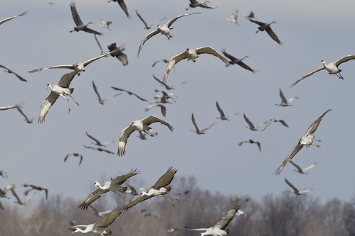
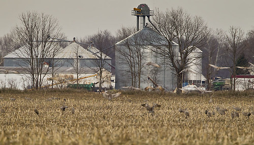
SANDHILL CRANES at EWING BOTTOMS INDIANA
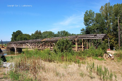
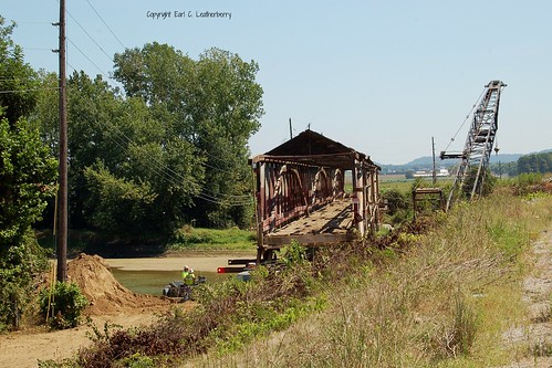
indiana coveredbridge restoring 1875 jacksoncounty nationalregisterofhistoricplaces josephjdaniels burrarchdesign eastfolkofwhiteriver 3spans
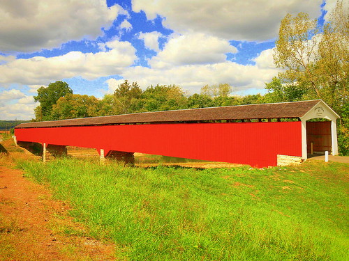
Indiana, Jackson County, Medora Covered Bridge (11,047)
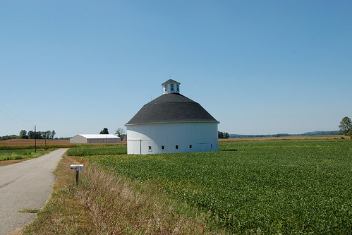
indiana round 1911 roundbarn jacksoncounty
Indiana, Jackson County, Stuckwisch Round Barn (4,150c)
View North From Walnut Ridge, Washington County, Indiana
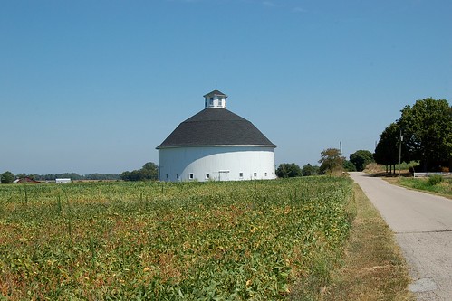
indiana round 1911 roundbarn jacksoncounty darlcarter
Indiana, Jackson County, Stuckwisch Round Barn (4,150)
indiana coveredbridge restoring 1875 jacksoncounty nationalregisterofhistoricplaces josephjdaniels burrarchdesign eastfolkofwhiteriver 3spans
Indiana, Jackson County, Medora Covered Bridge (11,047b)
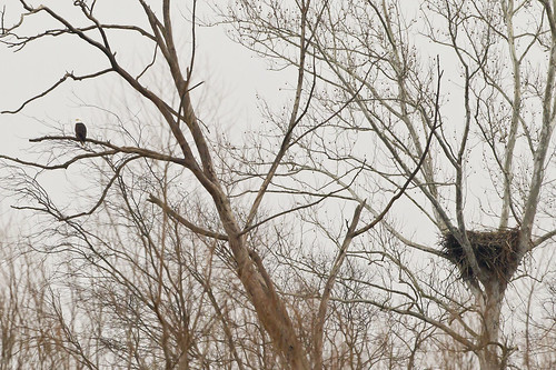
nest baldeagle indiana haliaeetusleucocephalus brownstown
BALD EAGLE, BROWNSTOWN INDIANA
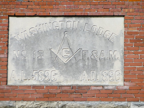
america square ancient midwest free indiana southernindiana masonic northamerica fam compasses freemason accepted annolucis dschx1
F & A.M.
baldeagle indiana haliaeetusleucocephalus ewing jacksoncounty
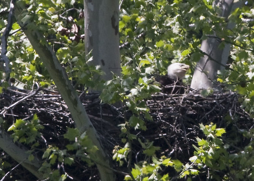
FEMALE BALD EAGLE IN THE NEST
baldeagle indiana haliaeetusleucocephalus jacksoncounty 500mmf4 canoneos1dmarkiii starvehollow
5/12 - BALD EAGLE AT STARVE HOLLOW
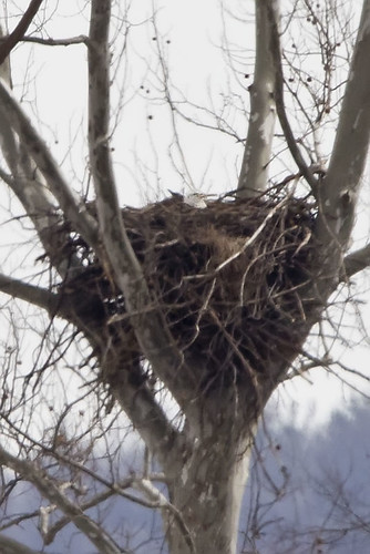
nest baldeagle indiana ewing jacksoncounty ewingbottoms
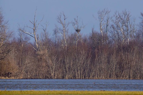
BALD EAGLE NEST
kc8gjh tonylombardi medora medorabrickplant hauntedtunnel tunnelton
Haunted Tunnel Road Rally 2014
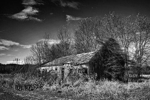
Old homestead
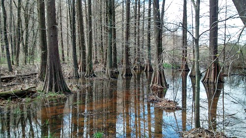
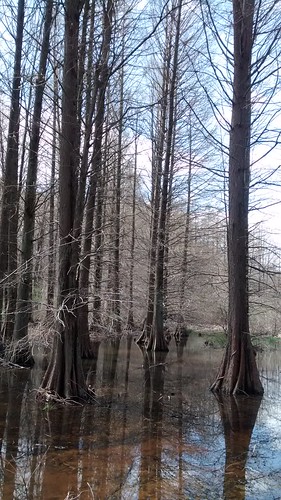
Cypress Grove
Cypress Grove
bridges indiana coveredbridges jacksoncounty historicbridges indianabridges indianajjdaniels
The Magnificent Medora!
heritage bedford
Lake 3
indiana ewing sandhillcrane jacksoncounty gruscanadensis leucistic ewingbottoms
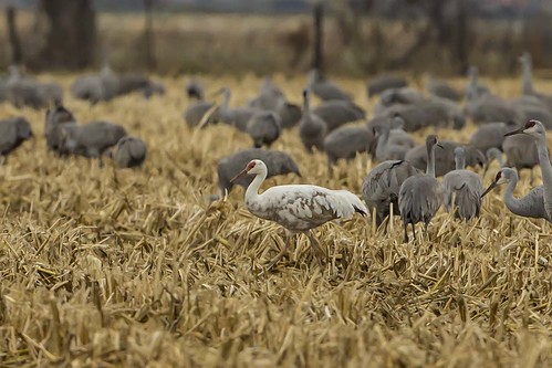
SANDHILL CRANE - LEUCISTIC
indiana ewing sandhillcrane 2805 jacksoncounty whoopingcrane gruscanadensis
WHOOPING CRANE #28-05 WITH SANDHILL CRANES
cornfield farm indiana ewing sandhillcrane jacksoncounty ewingbottoms
JACKSON COUNTY, INDIANA
hiking backpacking hhc indianalongdistancetrail
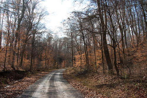
Gravel Roadwalking
indiana ewing sandhillcrane gruscanadensis ewingbottoms
SANDHILL CRANES
adult nest baldeagle indiana haliaeetusleucocephalus vallonia starvehollow
BALD EAGLE AT THE STARVE HOLLOW NEST SITE
Cypress Grove
dirt tonystewart modified ump brownstown tonystewartracing brownstownspeedway
Tony Stewart Racing Dirt Modified
indiana cranes sandhillcranes ind jacksoncounty whoopingcranes brownstown ewingbottoms
Whoopers in the distance
friends field barn rural america indiana
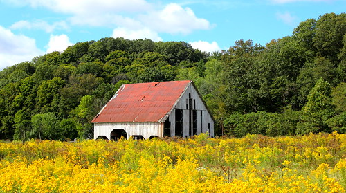
Fields of Gold
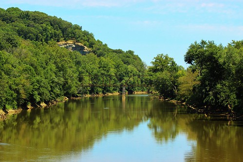
friends river indiana ironbridge quarry truss eastforkwhiteriver sparksville
Sparksville Bridge and Lehigh Rock Quarry