Elevation of Carlton Creek, Tofte Township, MN, USA
Location: United States > Minnesota > Cook County > Tofte >

Longitude: -90.847542

Latitude: 47.5858377

Elevation: 271m / 889feet

Barometric Pressure: 98KPa

Elevation Map:

elevation map of Carlton Creek, Tofte Township, MN, USA
Satellite Map:

Satellite map of Carlton Creek, Tofte Township, MN, USA
Related Photos:

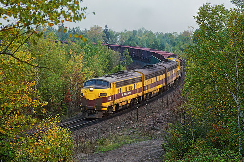
ltvmining eriemining emd f9 cabunit 4212 curve taconite oretrain f9a taconiteharbor minnesota train locomotive railroad mn
Ready to head home at Taconite Harbor
Backing Down the Hill
Taconite Harbor
wedding lake minnesota birds groom bride lakesuperior itwassoooocoldandwindyout
pat + cheri.
ski minnesota superior snowboard lutsen
Halfway down the Meadows run
minnesota sunrise fisherman lutsen
Fisherman at dawn
departmentofagriculture usda usdadepartment agricultureus department agricultureusausda usdepartmentofagriculture
20180226-FS-LSC-0303
departmentofagriculture usda usdadepartment agricultureus department agricultureusausda usdepartmentofagriculture
20180226-FS-LSC-0314
departmentofagriculture usda usdadepartment agricultureus department agricultureusausda usdepartmentofagriculture
20180226-FS-LSC-0319
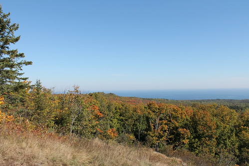
autumn trees lake fall leaves minnesota colours view superior northshore lakesuperior mamluke brittonpeak
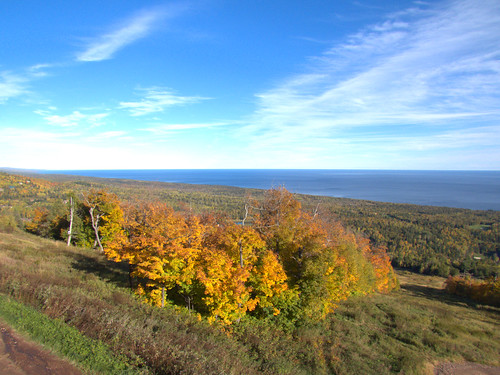
Looking out over Superior
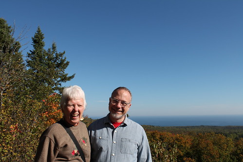
autumn trees portrait lake fall leaves minnesota colours view superior husband northshore lakesuperior motherinlaw mamluke mrsmamluke brittonpeak
Happy Pair
autumn trees lake fall leaves minnesota colours view superior northshore lakesuperior mamluke brittonpeak
Lake Superior View
robert minnesota steve northshore kenny mn fritz lakesuperior lutsen grandportage grandportagestatepark lutsenresort
Lutsen Resort, Sunrise on Anirondacs (1)
pentax antique nik hdr colorefex k20d justpentax hdrefex
Antique Outboard Motors
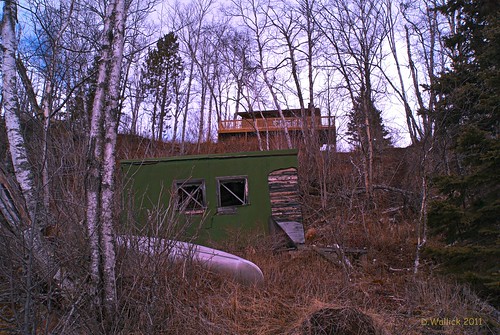
lake minnesota cabin view cove north rental superior rope canoe deck evergreen shore shack birch cascade picnik cathys overhang lightroom a230 tofte
Superior View
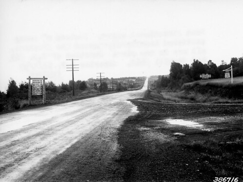
signs minnesota roads superiornationalforest foresthistorysociety
Junction of roads showing signs.
robert minnesota steve northshore kenny mn fritz lakesuperior lutsen grandportage grandportagestatepark lutsenresort
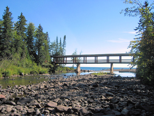
Lutsen Resort, Lower Bridge on the Poplar River
minnesota cookcounty lutsen lutsenmountains moosemountain northshore
Moose Mountain Lake View
lake tree bird minnesota cabin branch view eagle zoom great north feathers bald superior deck national shore perch birch overlook picnik lightroom ruffled highway61 a230 tofte
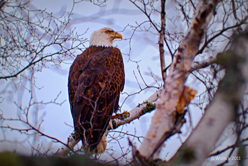
Eagle's View
robert minnesota steve northshore kenny mn fritz lakesuperior lutsen grandportage grandportagestatepark lutsenresort
Lutsen Resort, Sunrise on Anirondacs (2)
robert minnesota steve northshore kenny mn fritz lakesuperior lutsen grandportage grandportagestatepark lutsenresort
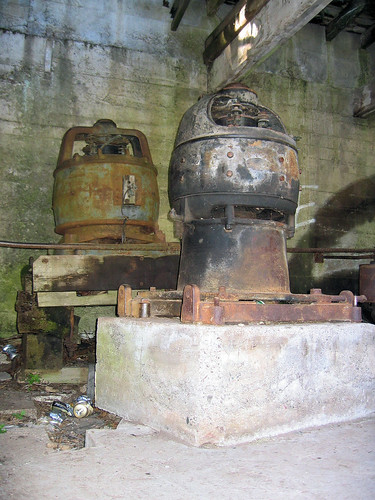
Lutsen Resort, Power House Details (1)
bruleriver temperanceriver lakesuperior landscape waterfall outdoor pentax minnesota clouds trees northshore
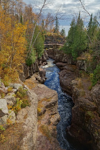
Temperance River
sawbill trail meadow maple trees superior national forest pine autumn fall colors tofte minnesota minn mn film 35mm slr honeywell pentax spotmatic sp1000 martha decker arrowhead region northeastern north woods northwoods pullout wayside flickriver
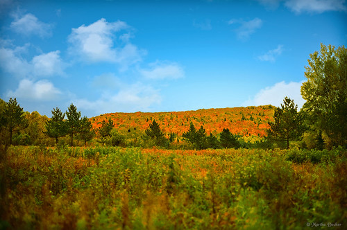
Sawbill Wayside 1980
lake superior shore shoreline minn minnesota mn great lakes scenic highway 61 us route schroeder lambs resort campground rocky flickriver
Lamb's Shoreline
bridge minnesota waterfall highway northshore lakesuperior 61 schoeder raingarden
Roadside Scenic Waterfall
america minnesota northamerica statepark superiorhikingtrail temperanceriver temperanceriverstatepark usa unitedstates unitedstatesofamerica cloud clouds cloudy forest forestland hiking longexposure river rock sky stone sun trail water weather woodland woods
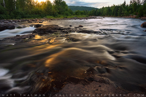
Glowing Flow
park lake fall colors minnesota 35mm river waves state pentax superior scan shore honeywell schroeder mn minn temperance sp1000 flickriver
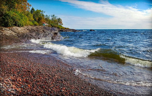
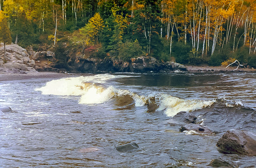
Temperance Shore
1807xxnorthshore batis225 blue greatlakes lakesuperior northshore sugarloafcove zeiss a7r2 batis beach red rocks rocksandwaters shallowwater sony
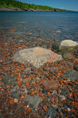
Sugarloaf Cove 20180705-DSC07871
Fs and chips
autumncolors superiornationalforest naturestyle beautifulearth~nopeople worldphotographersphotos batslair l03rememberthatmomentgold l01rememberthatmomentbronze l02rememberthatmomentsilver minnesotasceniclandscapes
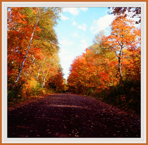
* Road Less Traveled #342 * ~ Superior National Forest, Minnesota
water minnesota river landscape waterfall spring outdoor northshore melt runoff temperanceriverstatepark temperanceriver
Temperance River
minnesota temperanceriver temperanceriverstatepark falls forest forestland longexposure rocks trees water waterfall woodland woods
Temperance River Flow 2
1805xxnorthshore a7rii lakesuperior minnesota northsbore river stateparks temperanceriver zeiss a7r2 landscape nature oxia park sony spring
Temperance River 20180524-DSC07272
wetland forest superiornationalforest superiorhikingtrail green yellow orange landscape
Leveaux Creek Wetland
70200 f4l is canon 5d mk2 north shore 2019 fall autumn landscape minnesota nature river 70200f4lis canon5dmk2 northshore
beside the river
bouvierdesflandres lakesuperior minnesota temperanceriverstatepark wife magnus
Contemplation Under Guard
tofte minnesota unitedstates us
Carlton Peak
2 two minnesota river island waterfall rapids northshore highway61
Two Island River
1805xxnorthshore blacksand greatlakes lakesuperior loxia250 minnesota northshore river sugarloafcove zeiss a7r2 landscape loxia nature rocks rocksandwaters sony spring
What the Black Sand Beach is really made of 20180524-DSC07205
Lake Superior sunrise from Surfside Resort - Tofte MN
longexposure minnesota clouds river rocks unitedstates schroeder temperanceriverstatepark 10stopndfilter
Temperance River Storm