Elevation of Carl Slagle Rd, Franklin, NC, USA
Location: United States > North Carolina > Macon County > Franklin > Franklin >
Longitude: -83.473977
Latitude: 35.1483182
Elevation: 693m / 2274feet
Barometric Pressure: 93KPa
Elevation Map:
Satellite Map:
Related Photos:

Nantahala Ranger House #3

Summer Mountain View

Observation Tower View

Tower Mountain View

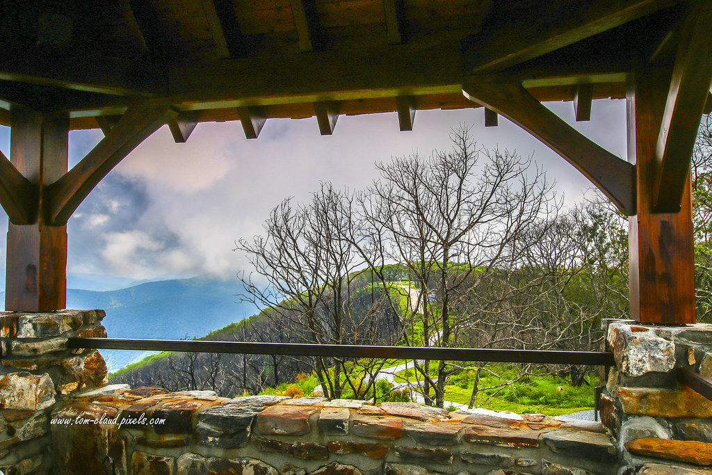
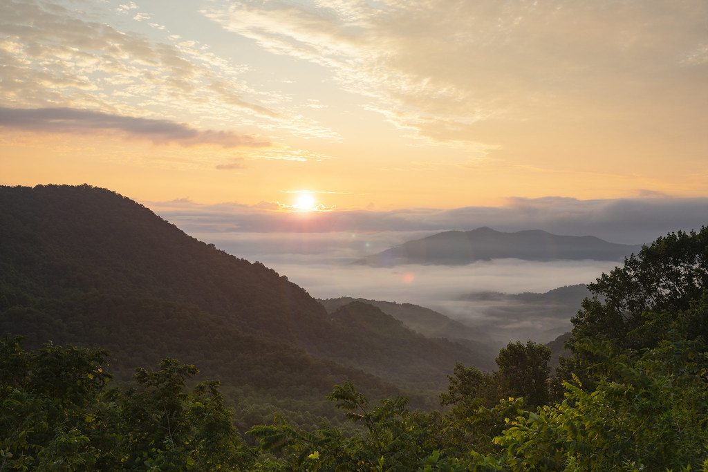
Cloudy Mountain View
Wayah Bald View

Wayah Bald Mountain View

Smoky Mountains on Fire (III)
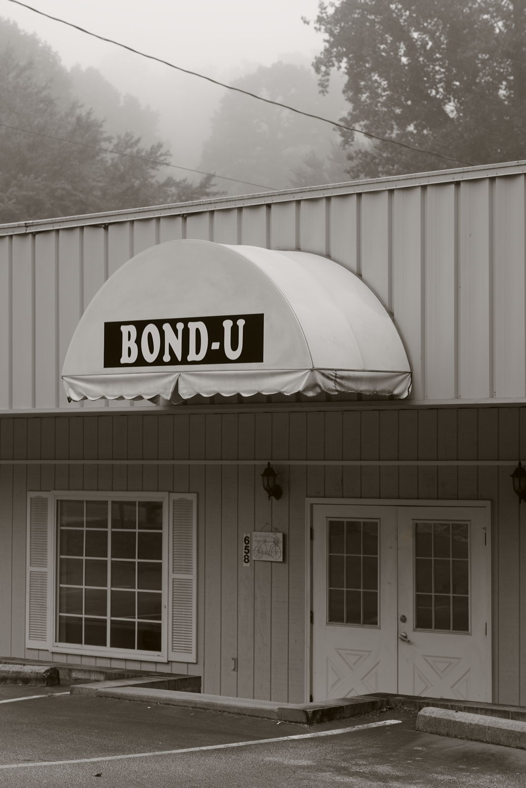
For when U need it

Wayah Bald Fire Tower - Franklin, North Carolina (HDR)

Fringed Phacelia

The new Wayah shelter

Standing Indian Mountain

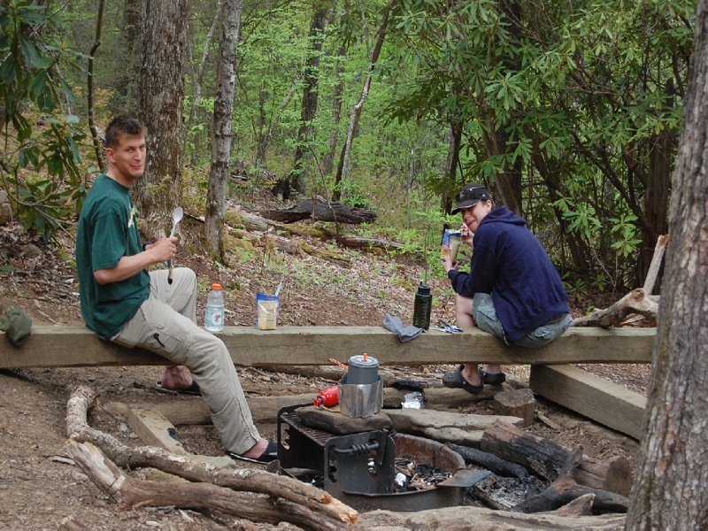
prison break!

Mountain Sun

Silers Bald

The Cowee Mountains.

Silers Bald

Albert Mountain Fire Tower

Swinging Lick gap
I must have said something funny

Mountain waves

Town and country

Home on the Lake #2
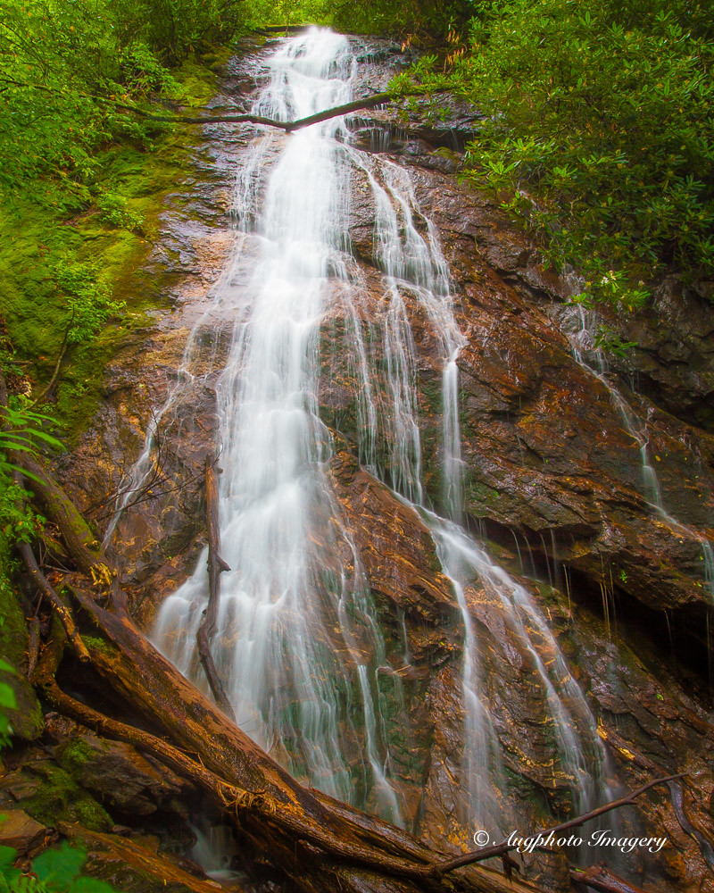
Rufus Morgan Falls

Home on the Lake #3

Fall Mountain Home

Rufus Morgan Trailhead-8430

Nantahala Ranger Home #1

Wayah Bald Tower

Winding Stair Sunrise
Winding Stair Sunrise

Between the river and the fog
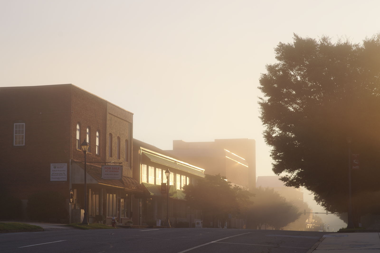
Morning on Main Street

Rufus Morgan Falls-8485

Rufus Morgan Trailhead-8489
Topographic Map of Carl Slagle Rd, Franklin, NC, USA
Find elevation by address:

Places near Carl Slagle Rd, Franklin, NC, USA:
4724 Murphy Rd
145 Old Printers Way
304 Indian Trail
139 Meadowview Rd
532 Meadowview Rd
105 Meadowview Rd
189 Meadowview Rd
461 Meadowview Rd
98 Roylston Rd
98 Roylston Rd
98 Roylston Rd
98 Roylston Rd
0 Skyline Dr
0 Skyline Dr
8 Skyline Dr
229 Skyline Dr
229 Skyline Dr
788 Cannon Trail
288 Skyline Dr
165 W Old Murphy Rd
Recent Searches:
- Elevation of Corso Fratelli Cairoli, 35, Macerata MC, Italy
- Elevation of Tallevast Rd, Sarasota, FL, USA
- Elevation of 4th St E, Sonoma, CA, USA
- Elevation of Black Hollow Rd, Pennsdale, PA, USA
- Elevation of Oakland Ave, Williamsport, PA, USA
- Elevation of Pedrógão Grande, Portugal
- Elevation of Klee Dr, Martinsburg, WV, USA
- Elevation of Via Roma, Pieranica CR, Italy
- Elevation of Tavkvetili Mountain, Georgia
- Elevation of Hartfords Bluff Cir, Mt Pleasant, SC, USA